On January 22, at the request of «Babylon» our team went to the Pamirs. We returned home on January 29. Hurray!
Participants.
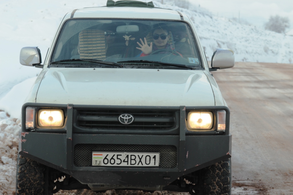
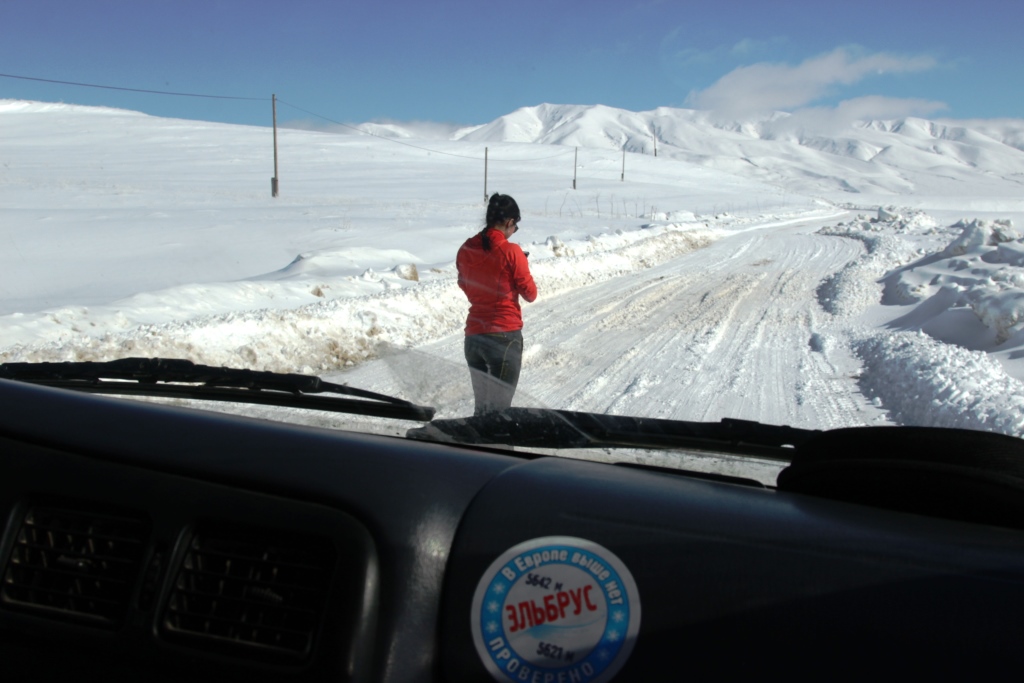
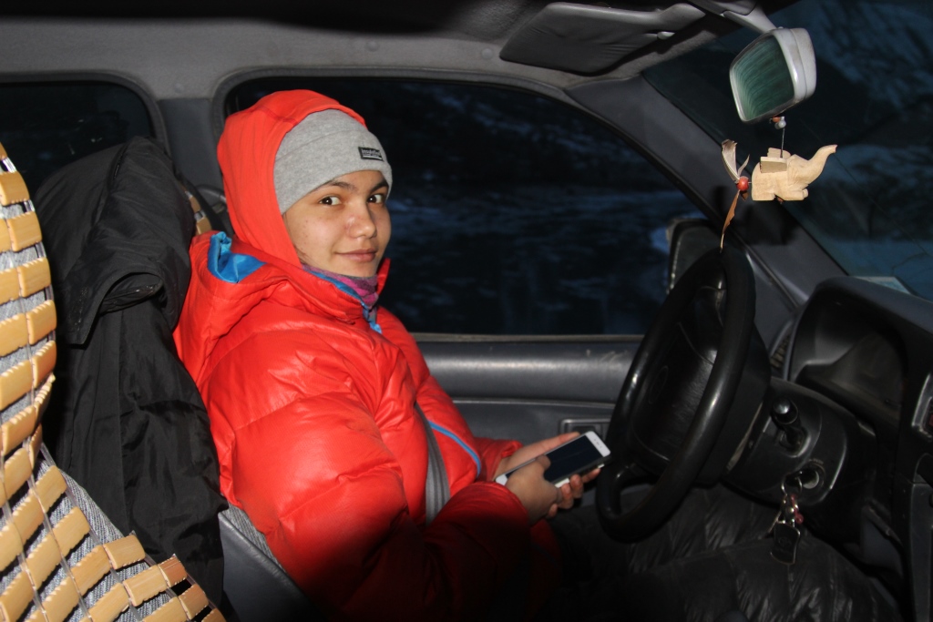
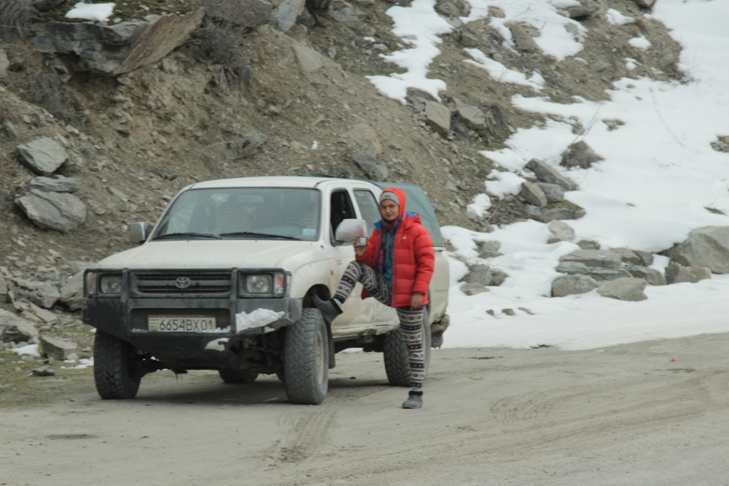
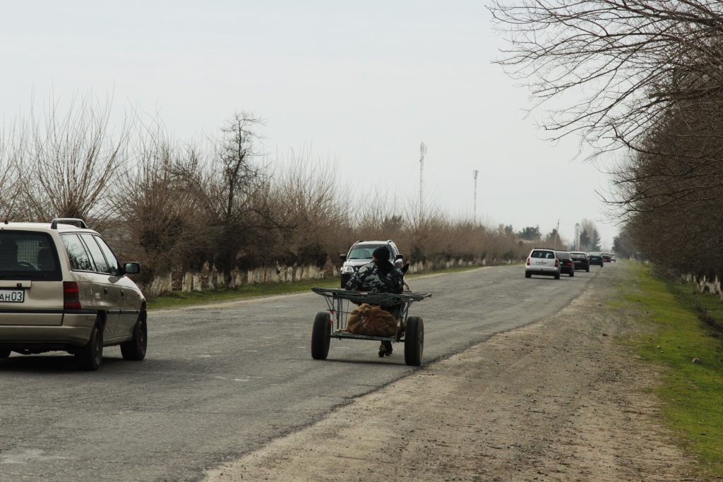
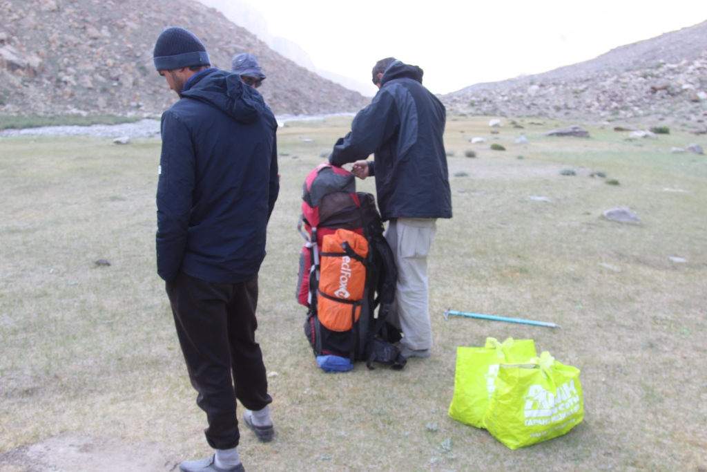
Driver. Maryam Sharipova. I specifically put the driver first on the team. It is from her skill, courage, endurance and quick response, our lives depended on each of the 1500 kilometers that we drove during this trip.
Head. Climber. Anatoly Sharipov. The aim of the visit was to determine the possibility of access in the winter on one of the stations.
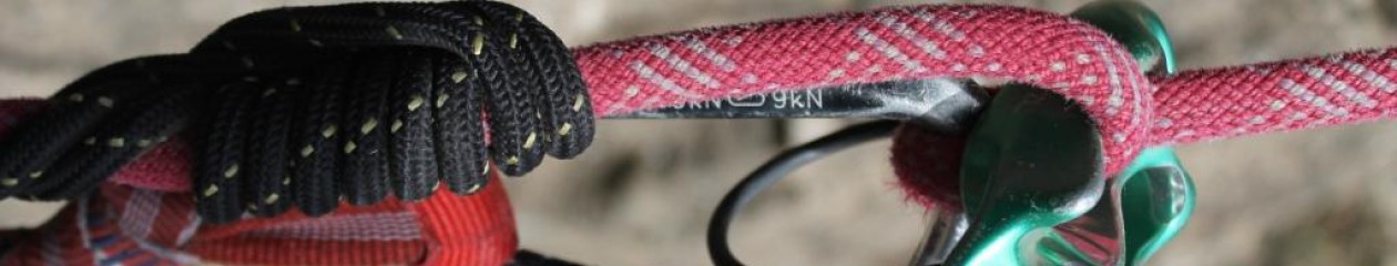
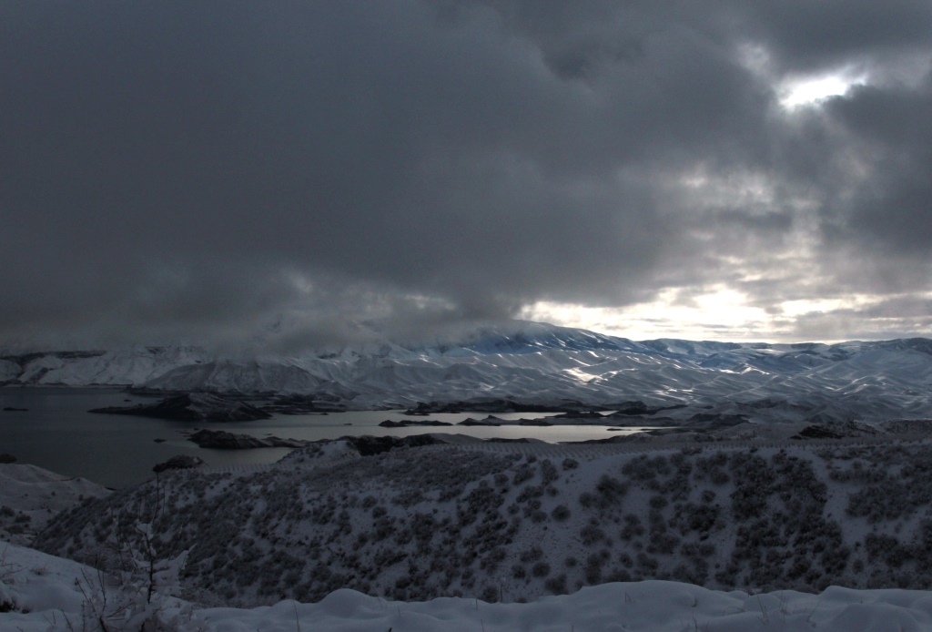
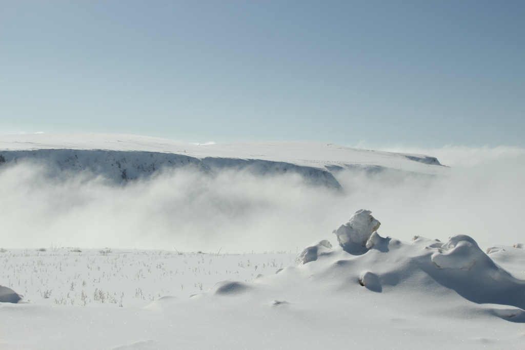
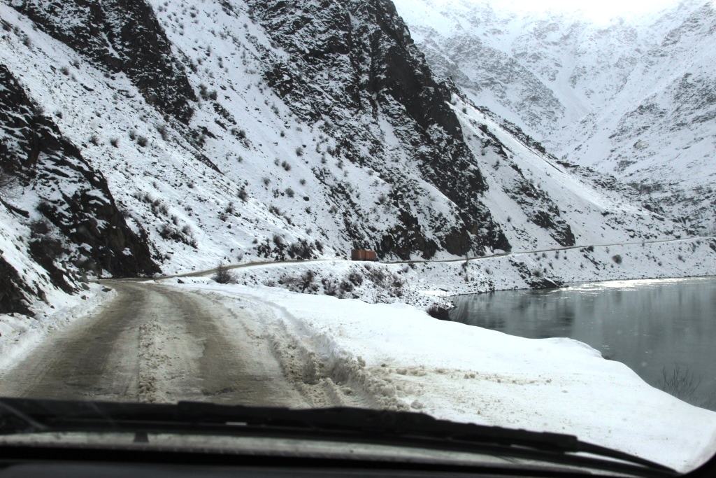
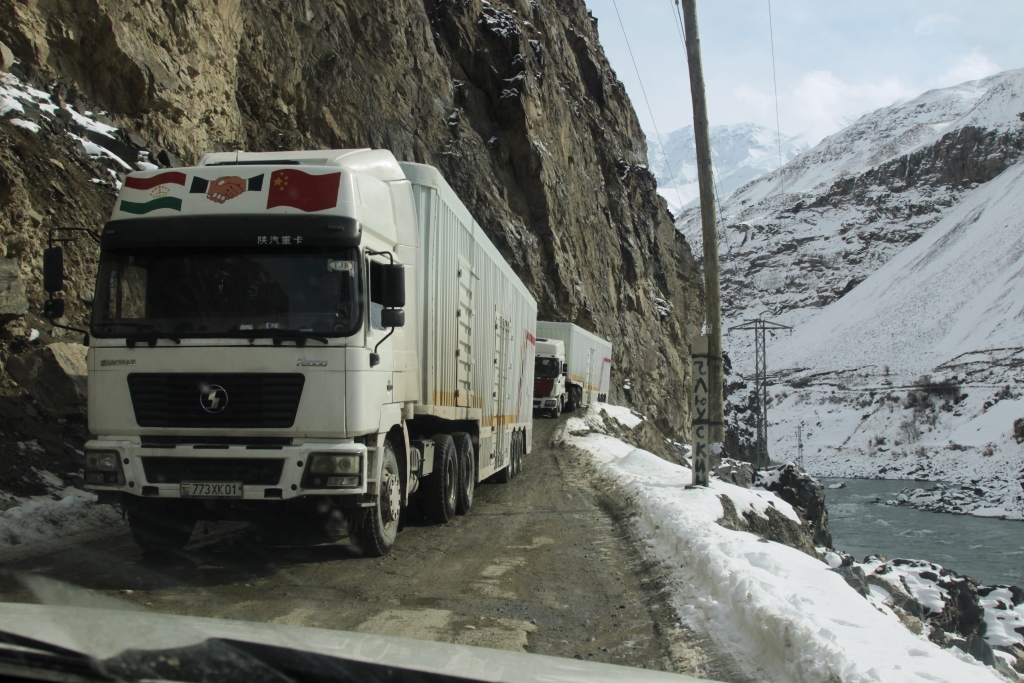
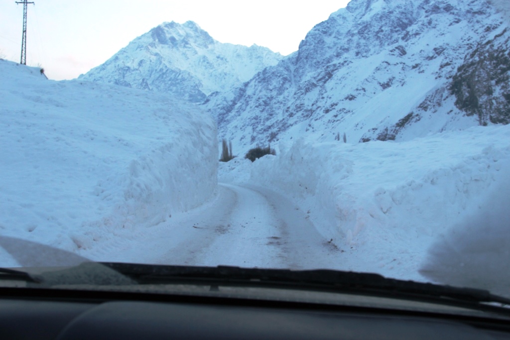
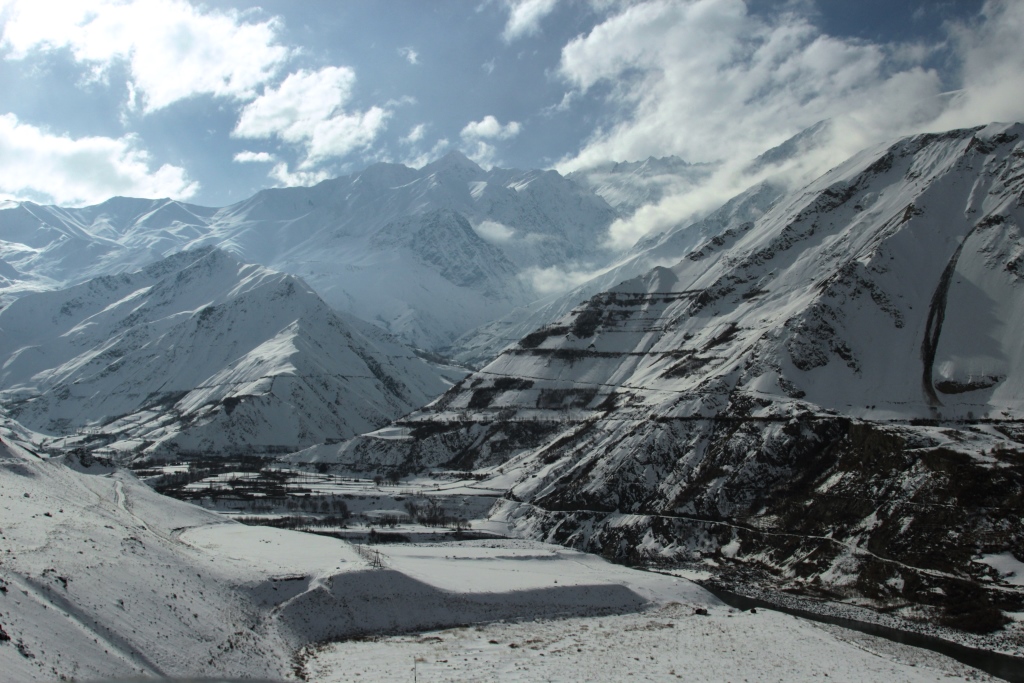
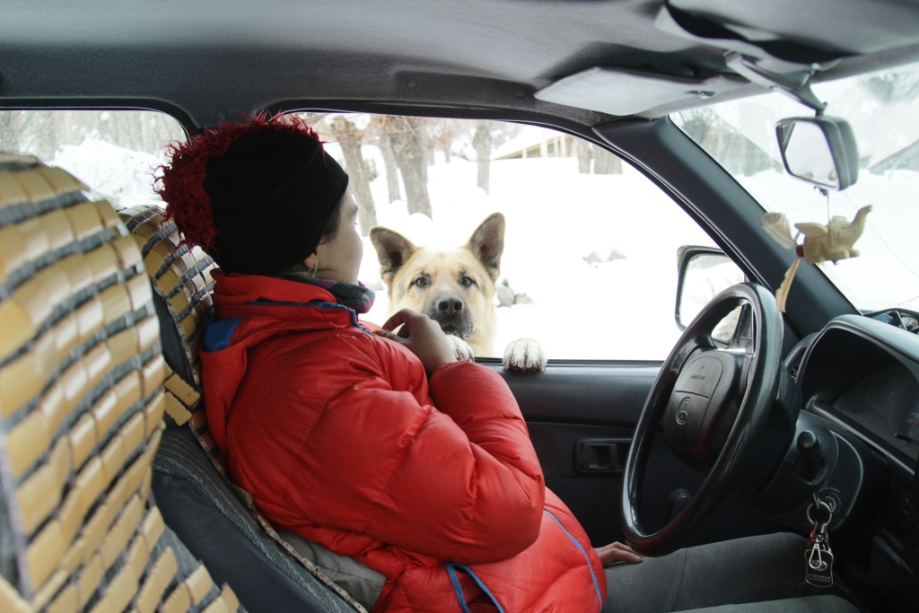
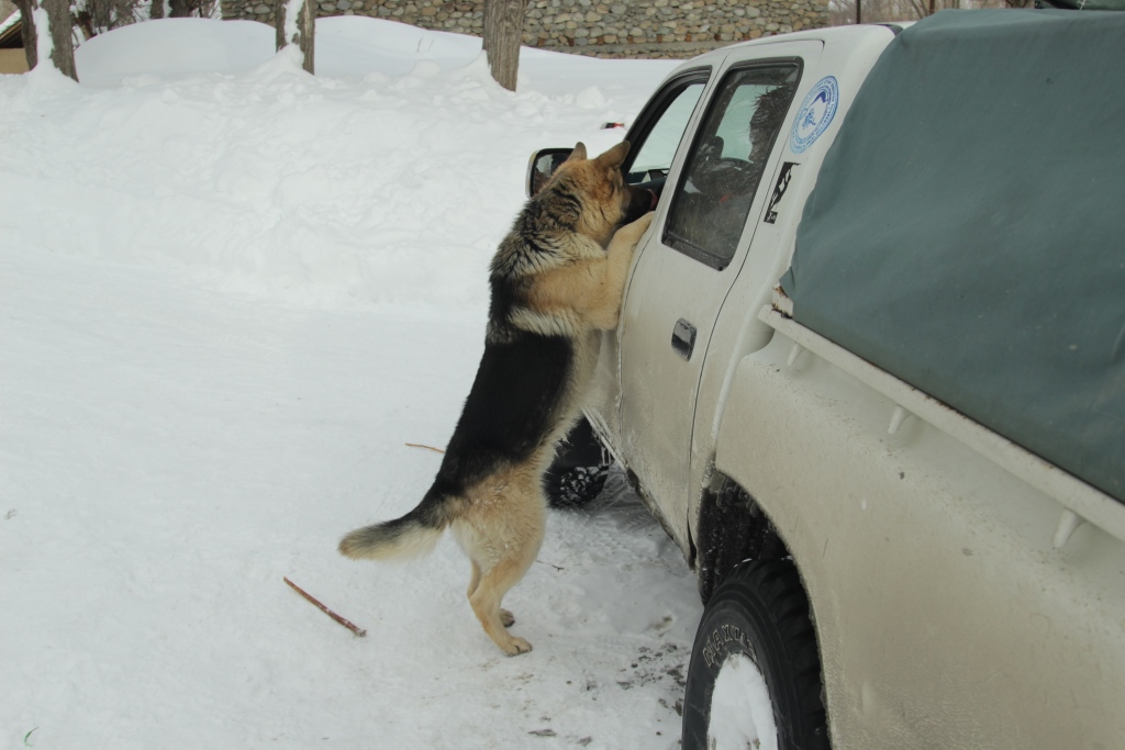
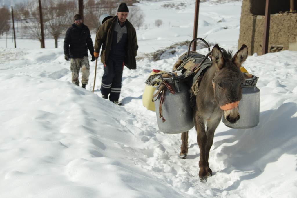
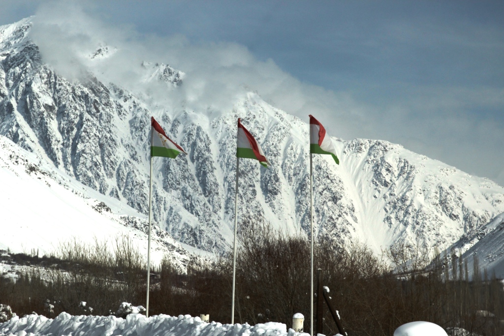
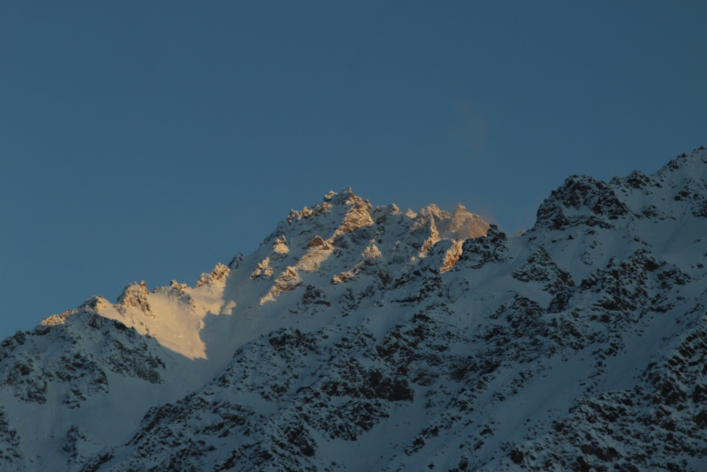
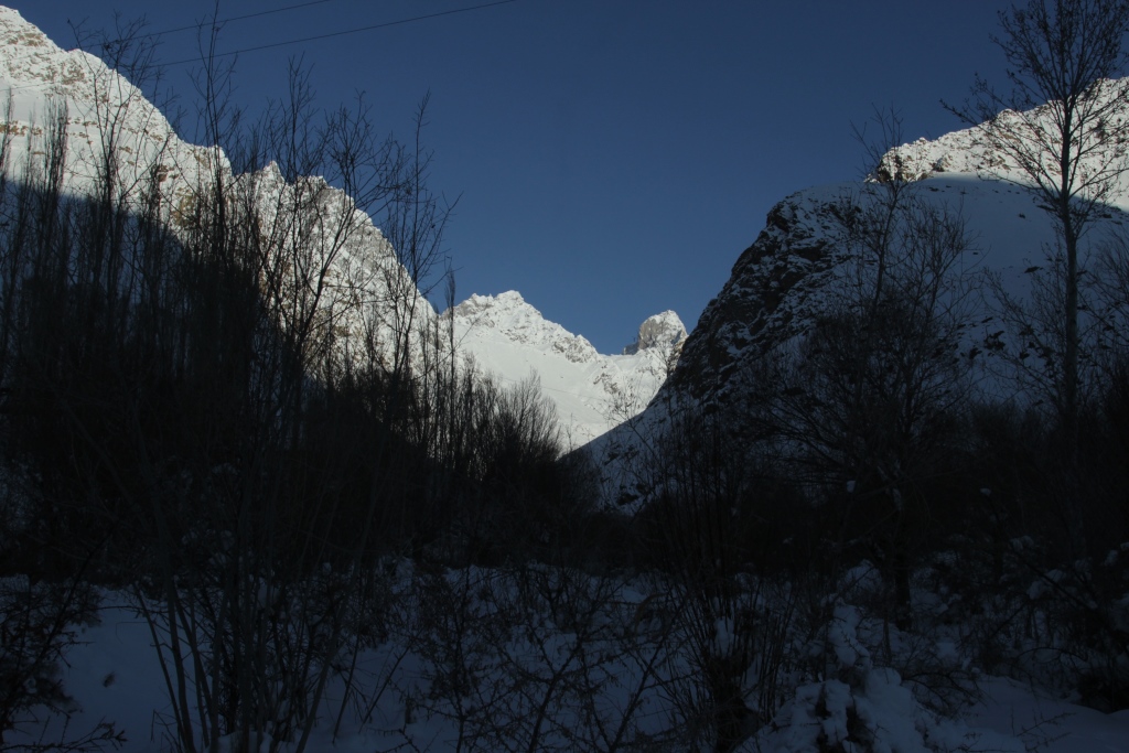
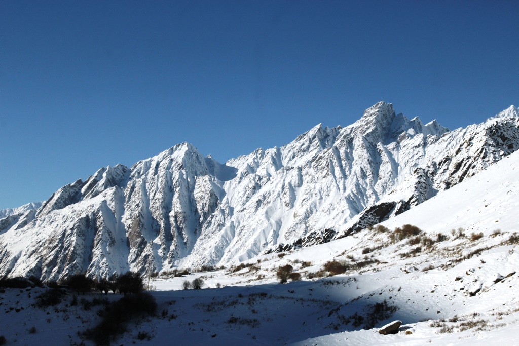
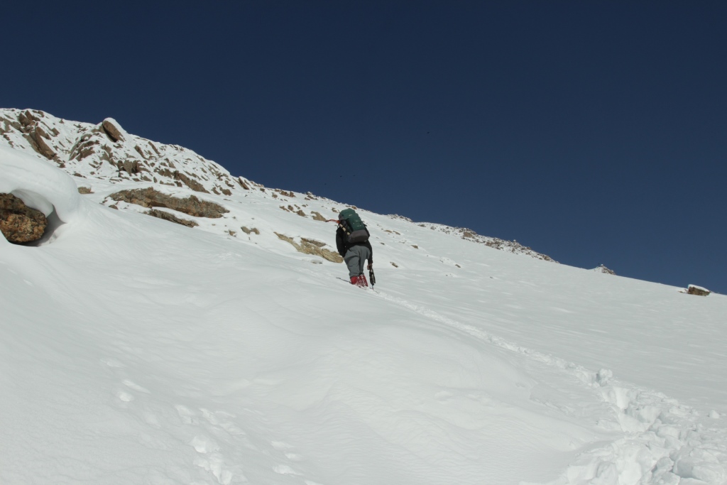
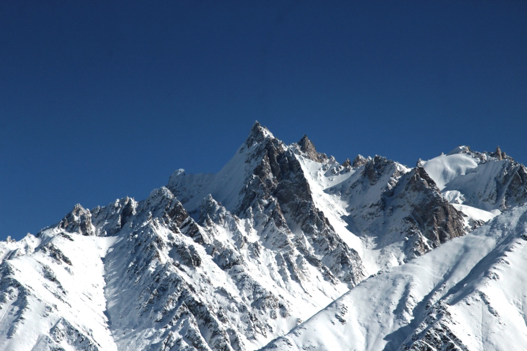
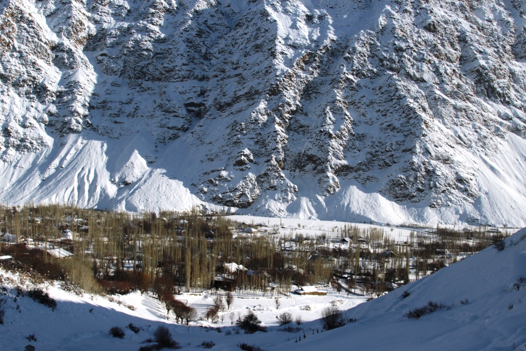
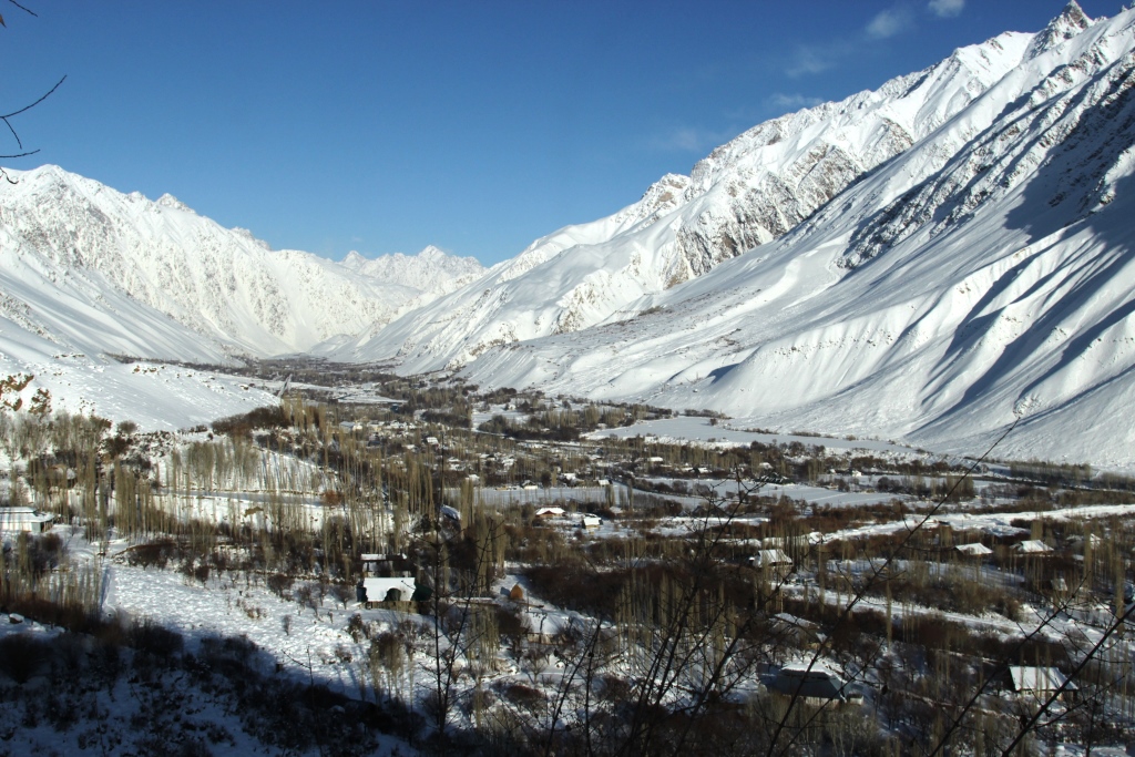
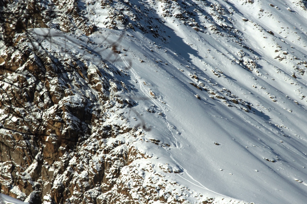
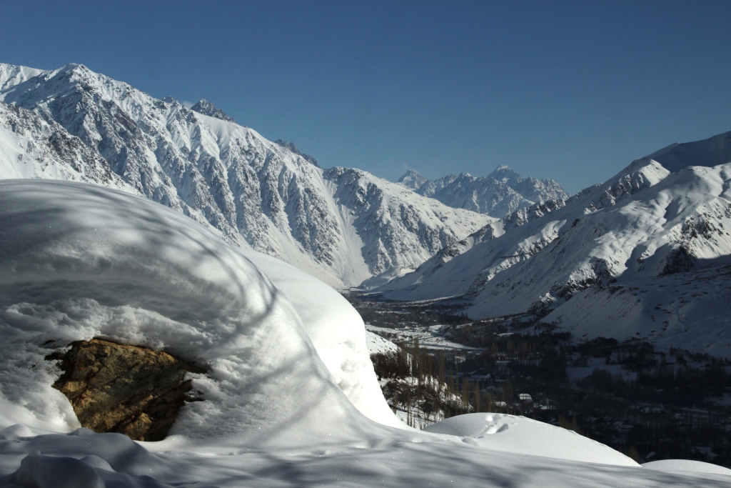
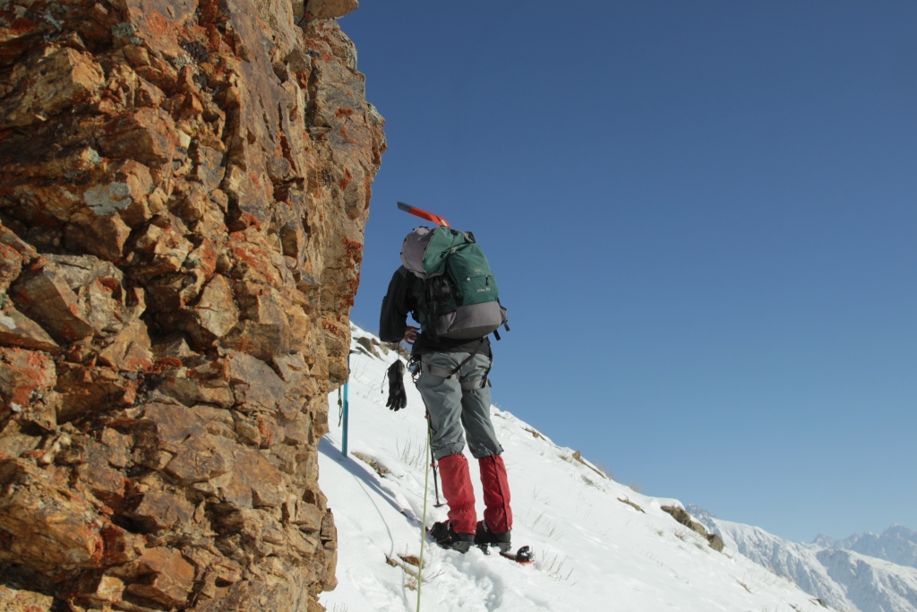
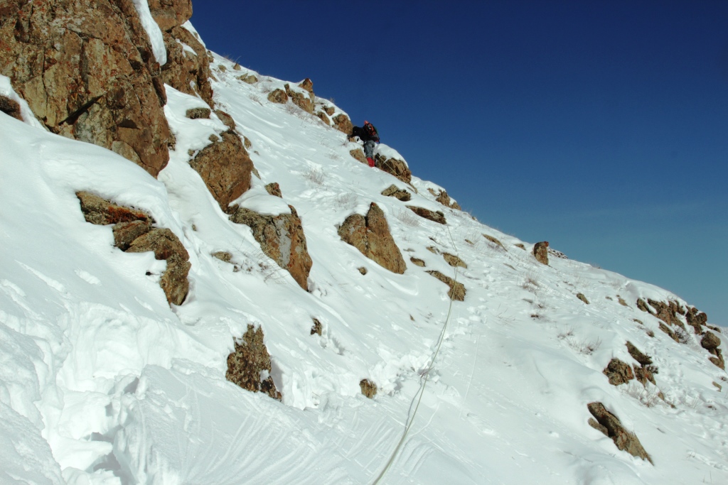
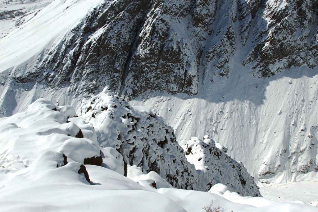
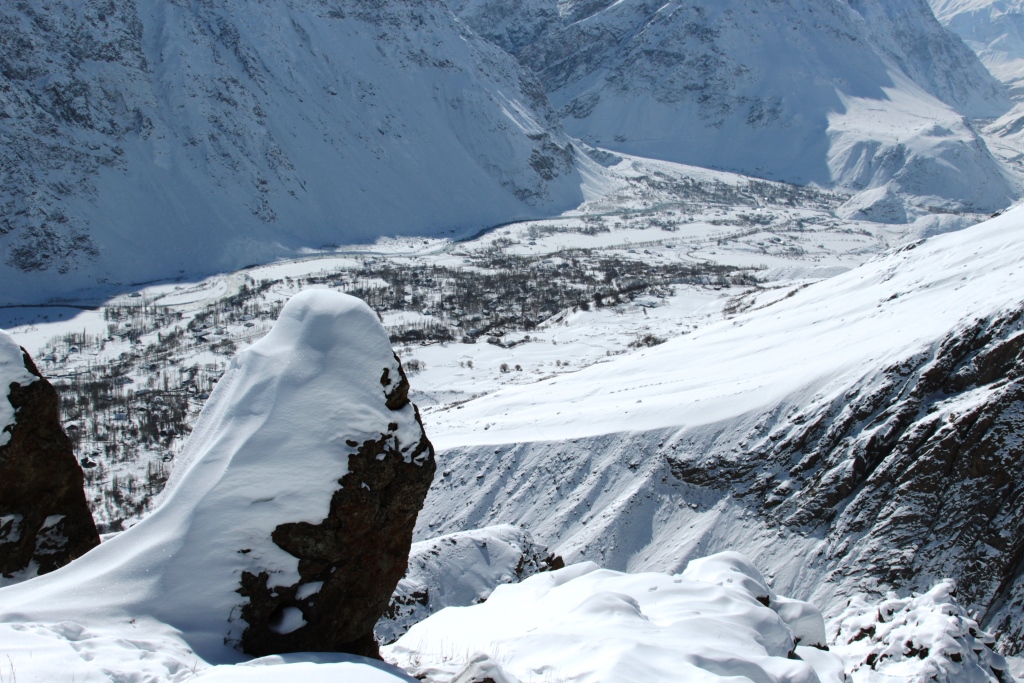
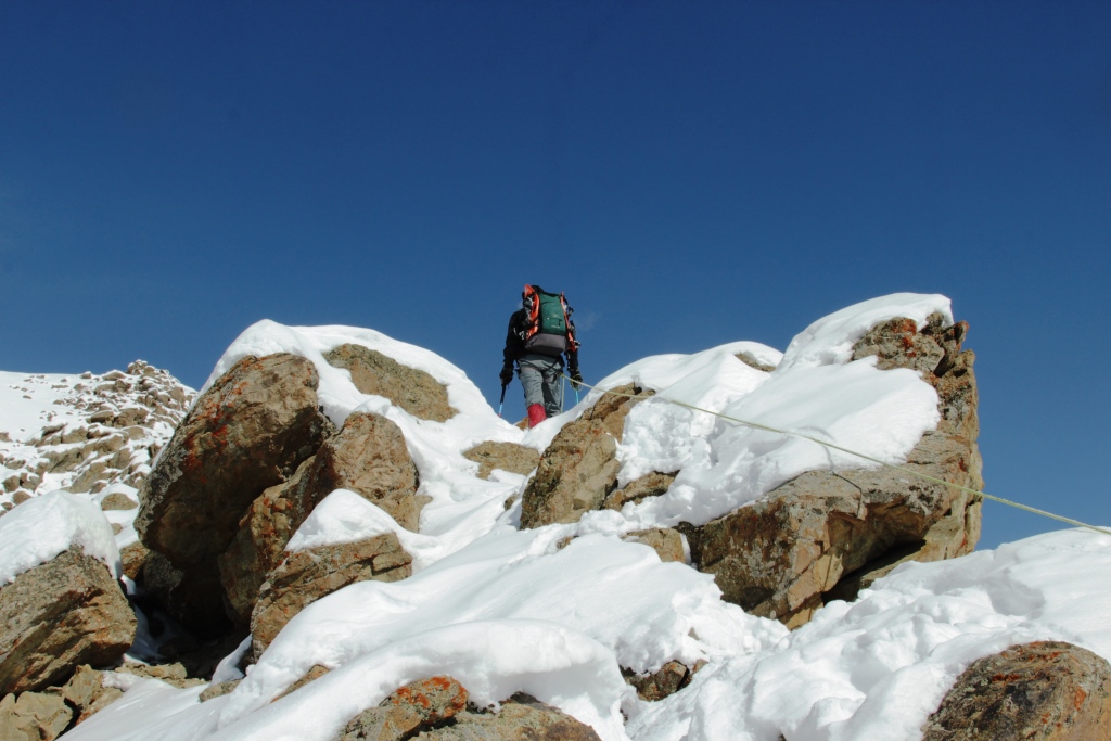
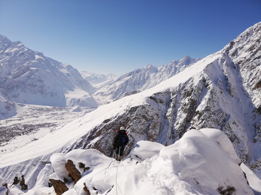
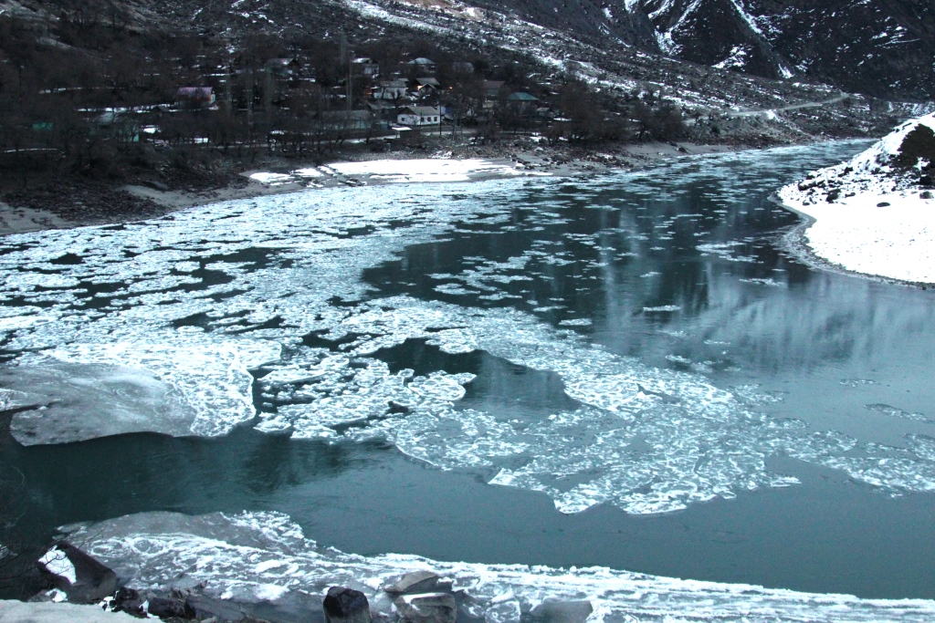
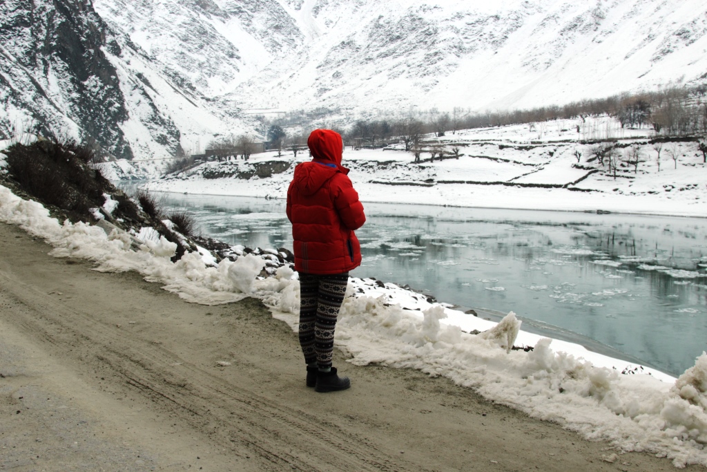
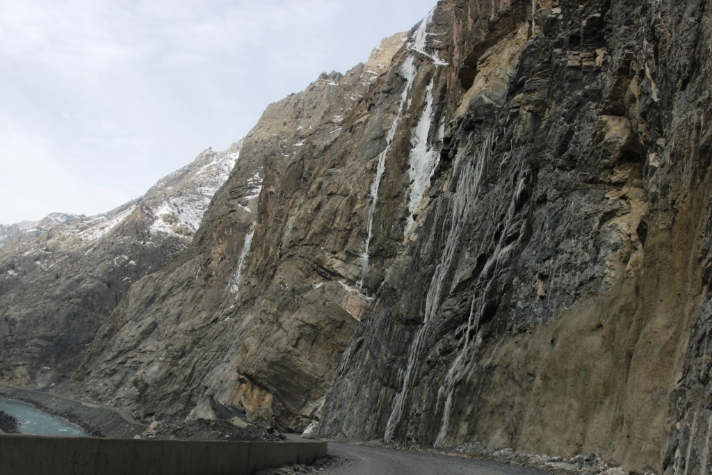
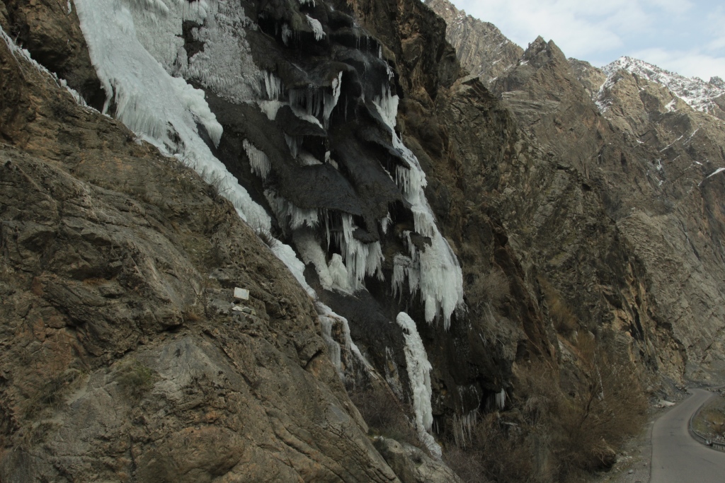
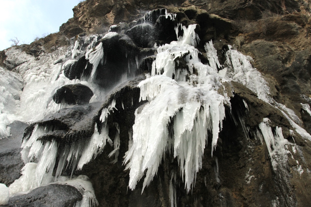
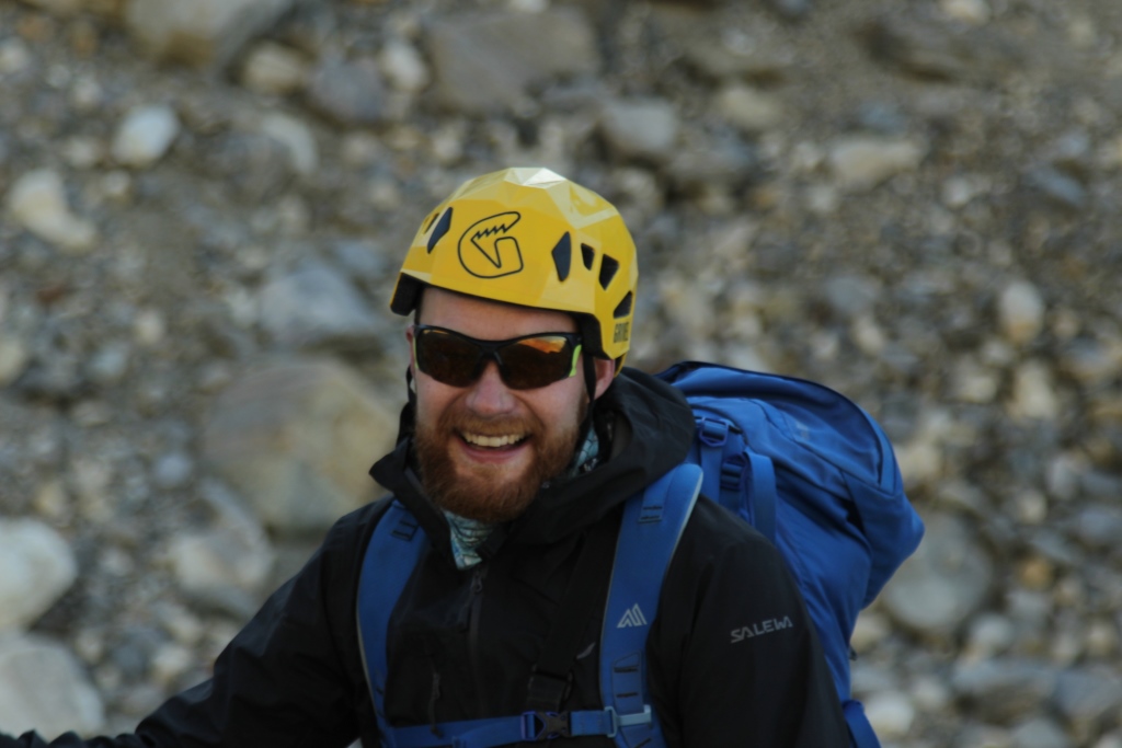
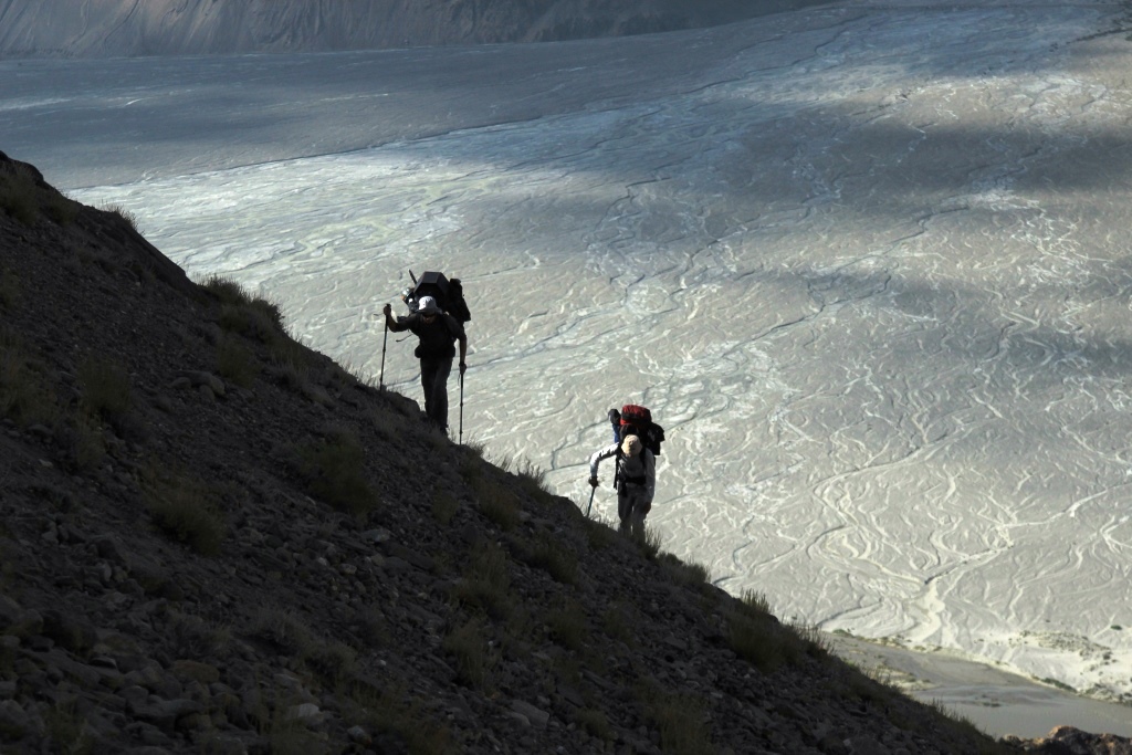
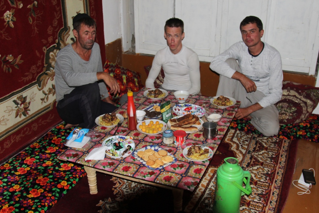
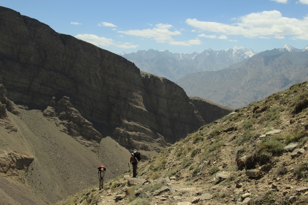
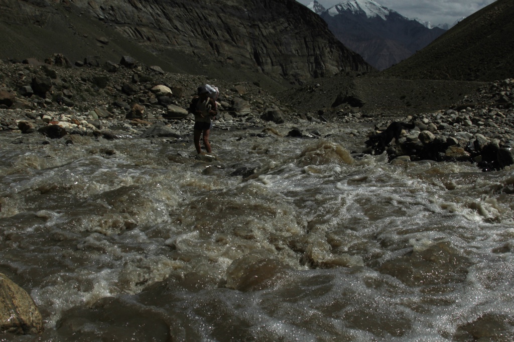
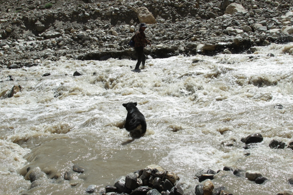
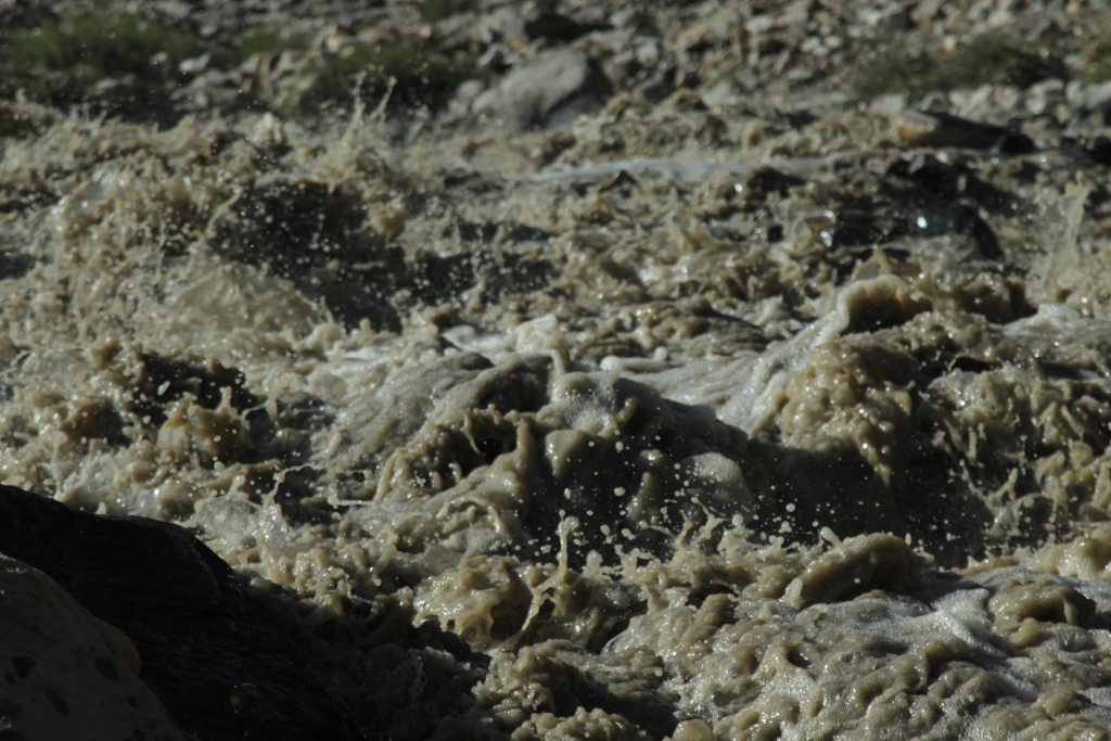
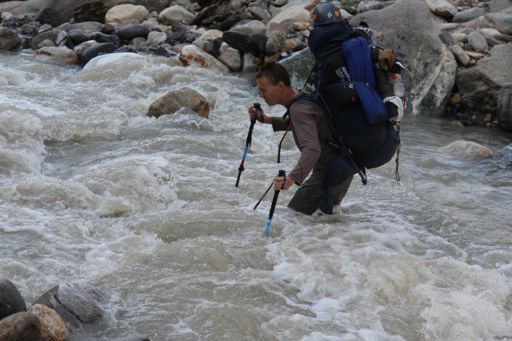
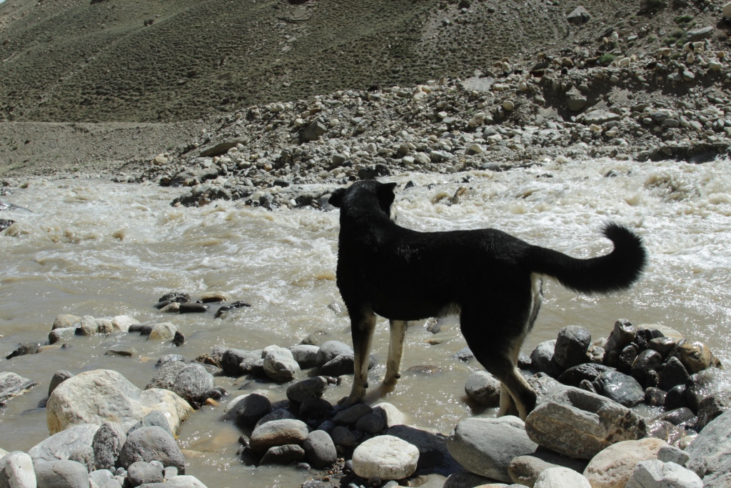
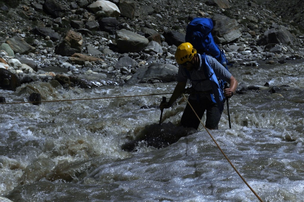
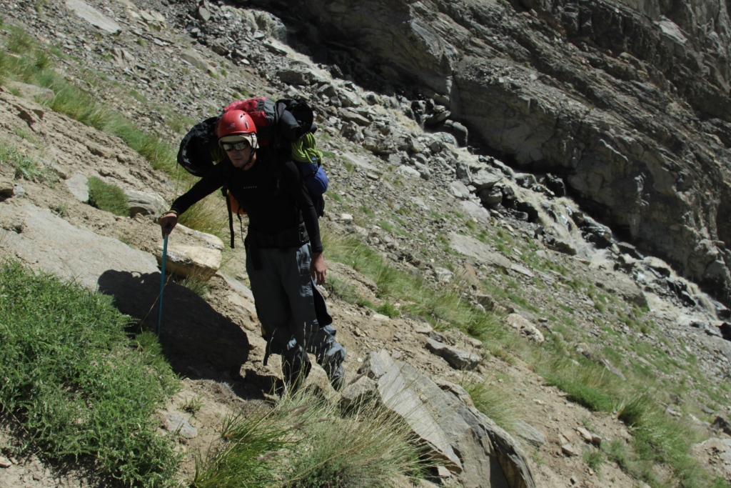
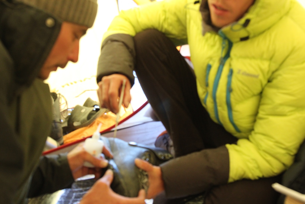
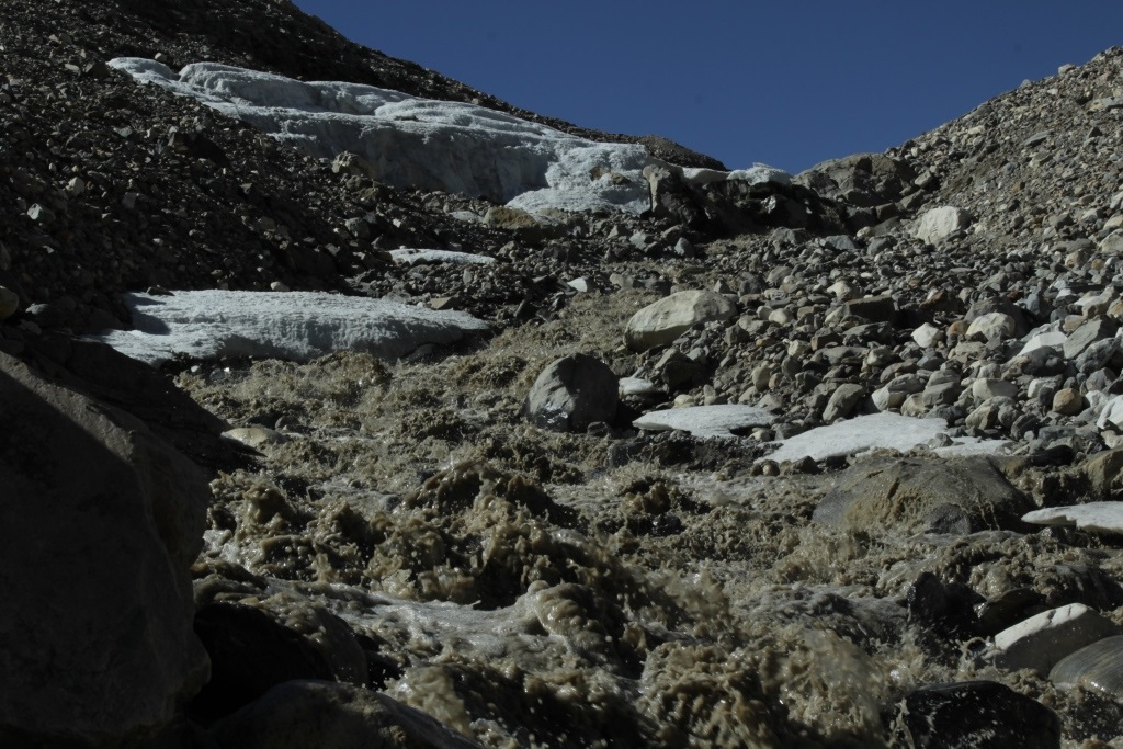
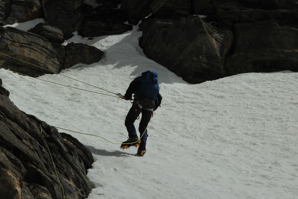
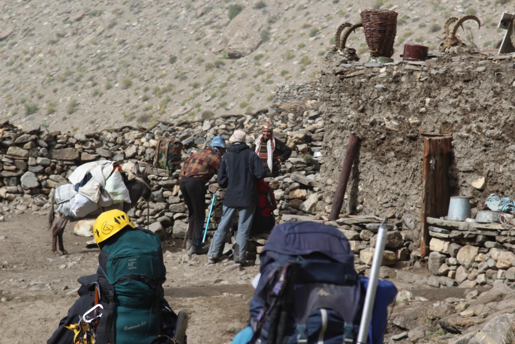
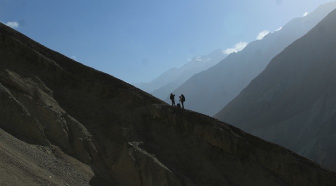
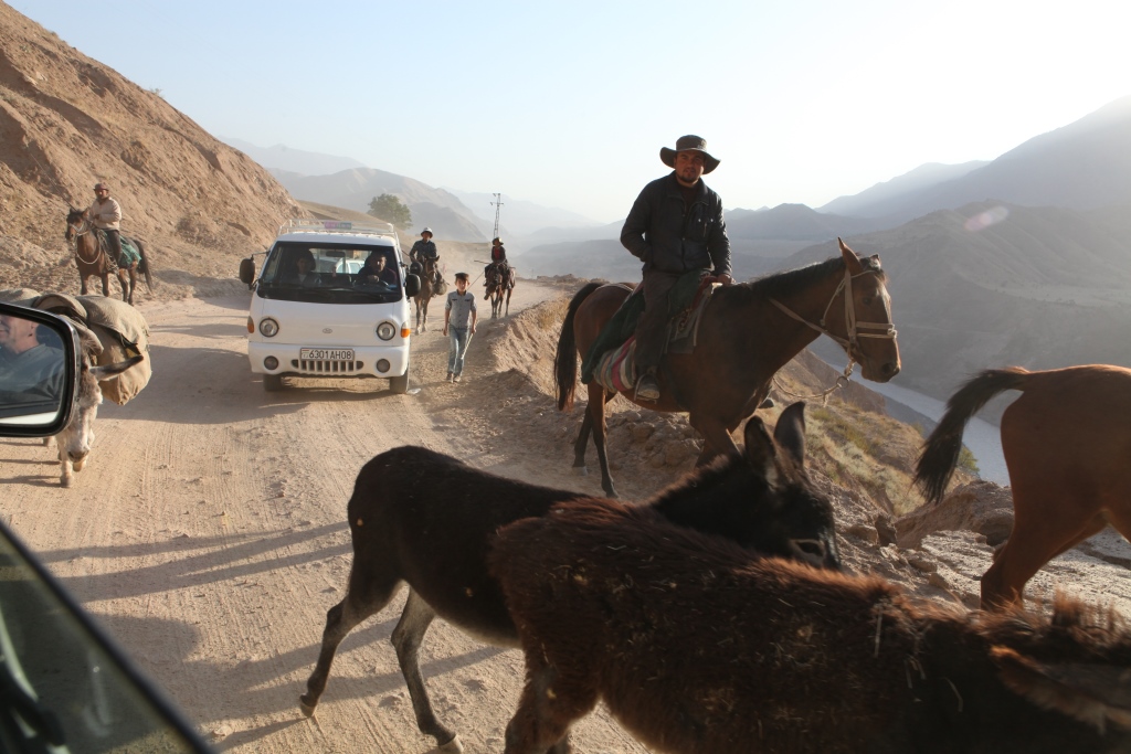
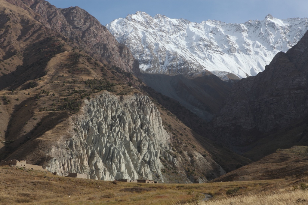
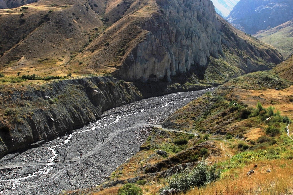
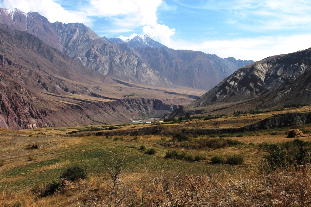
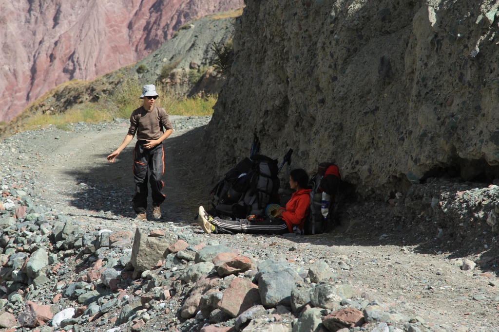
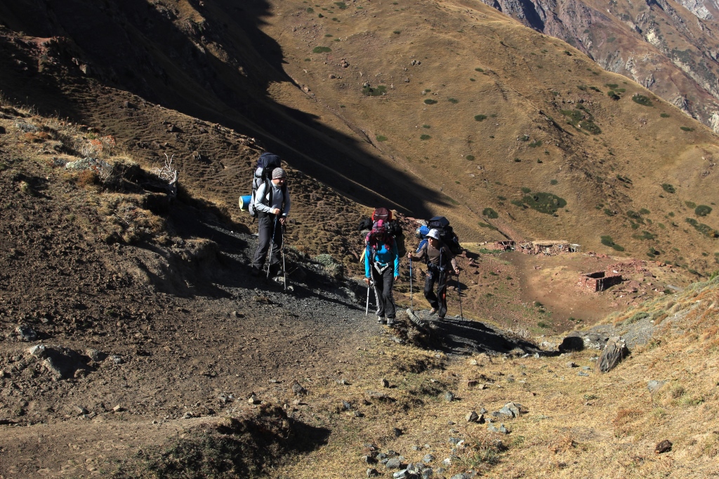
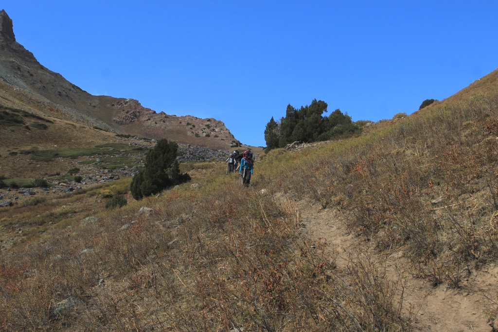
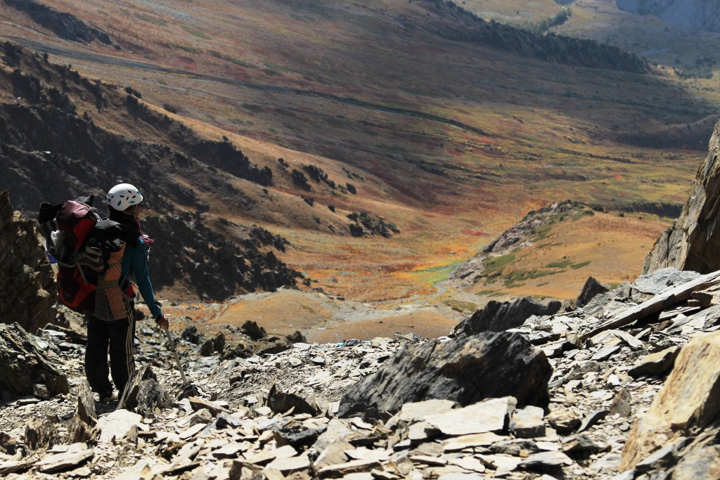
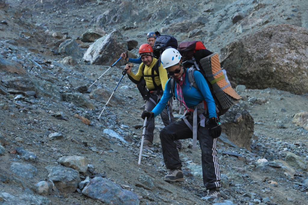
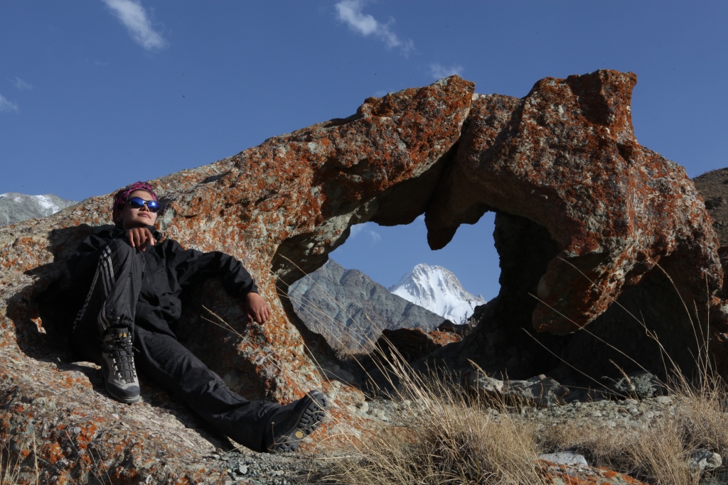
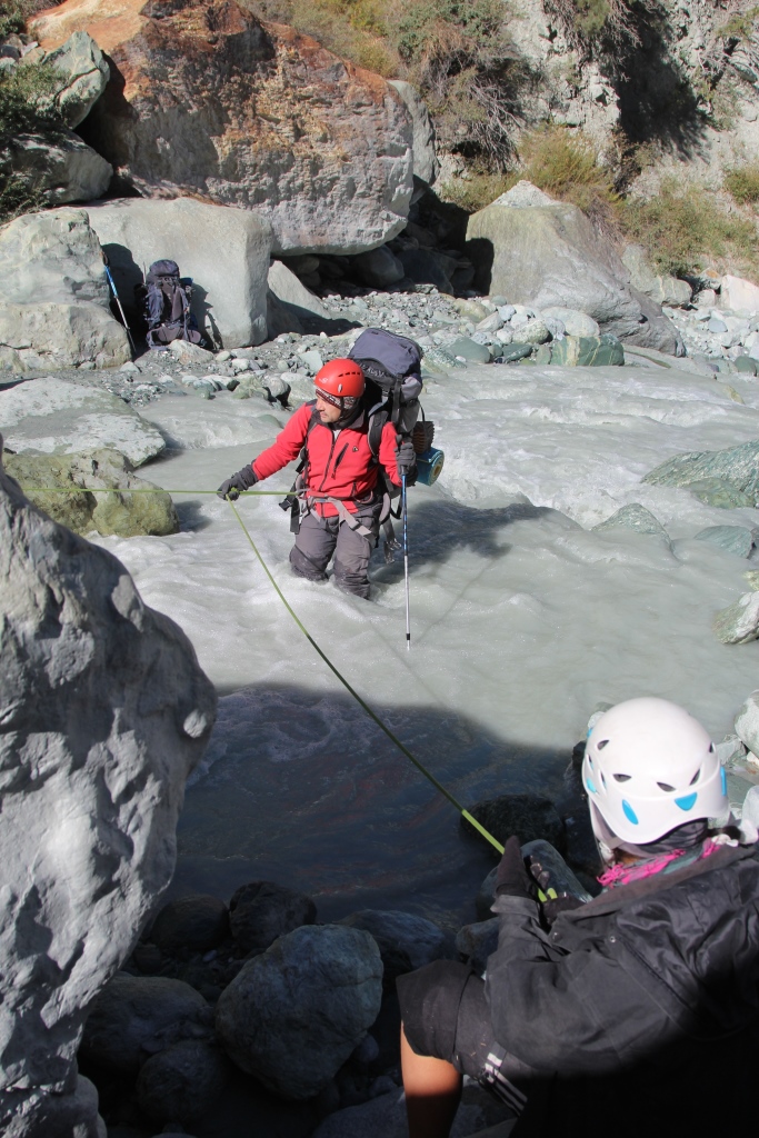
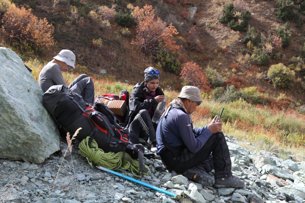
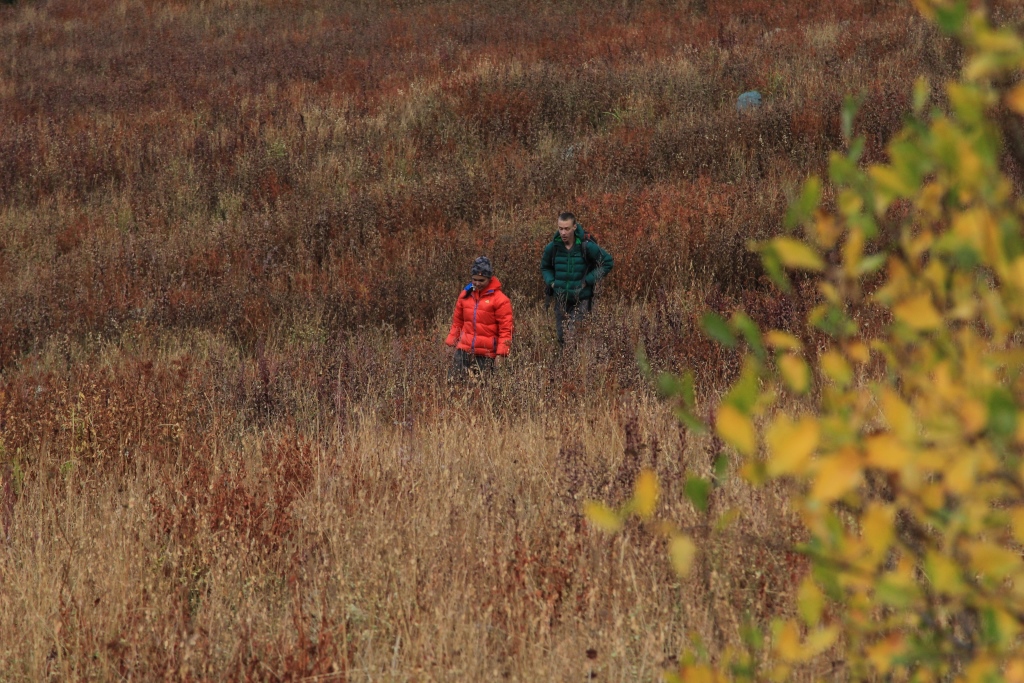
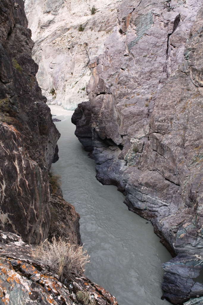
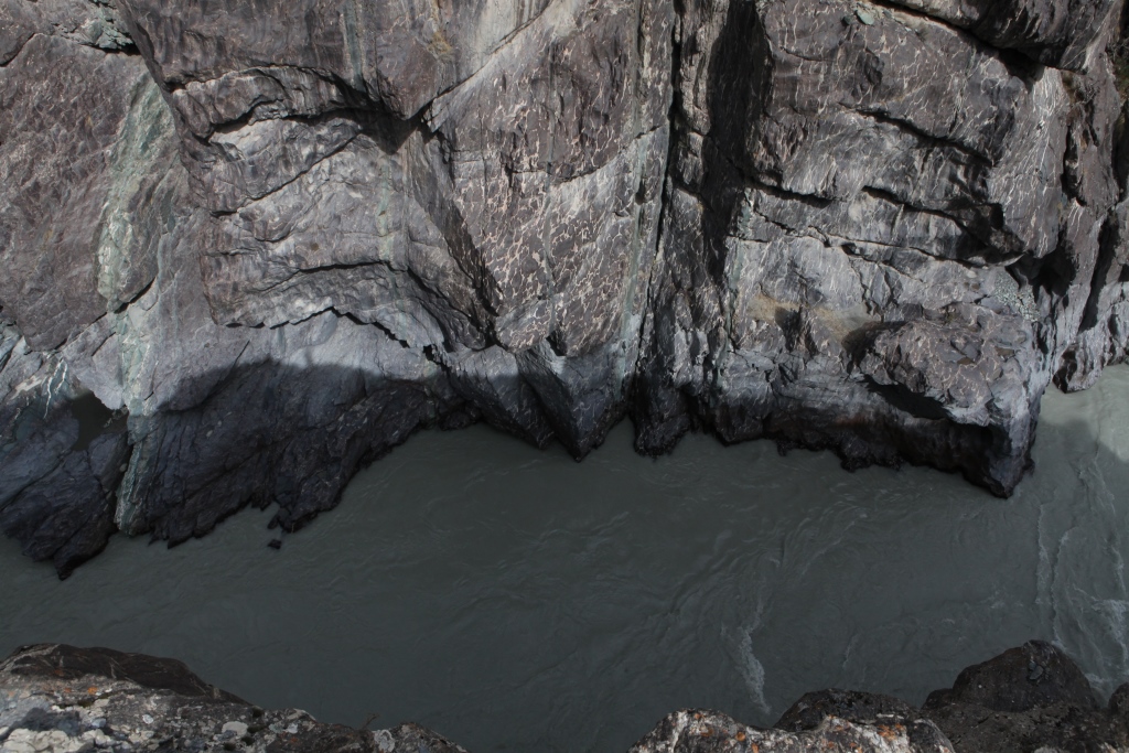
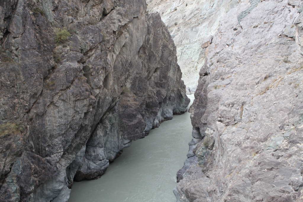
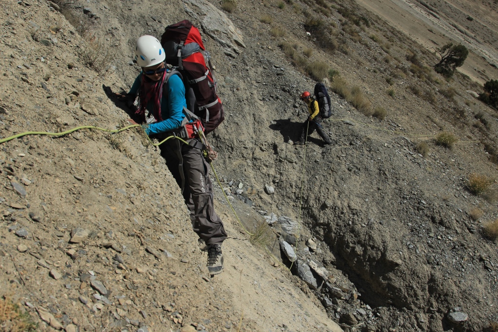
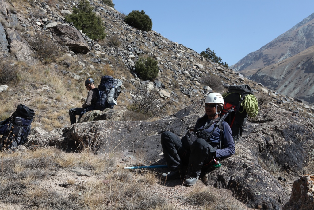
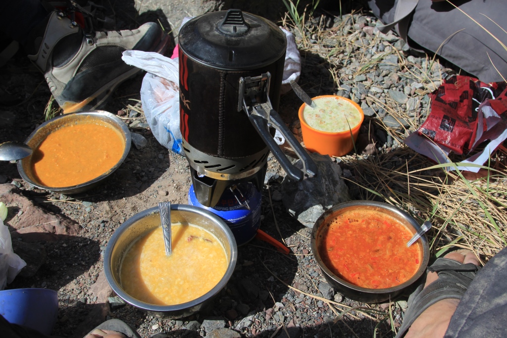
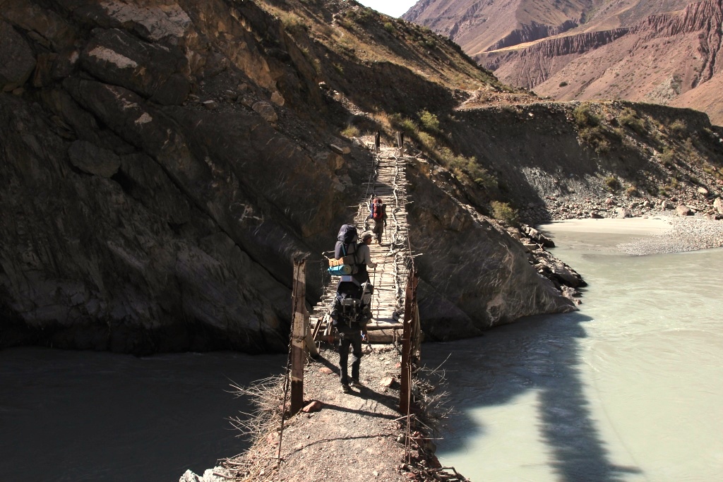
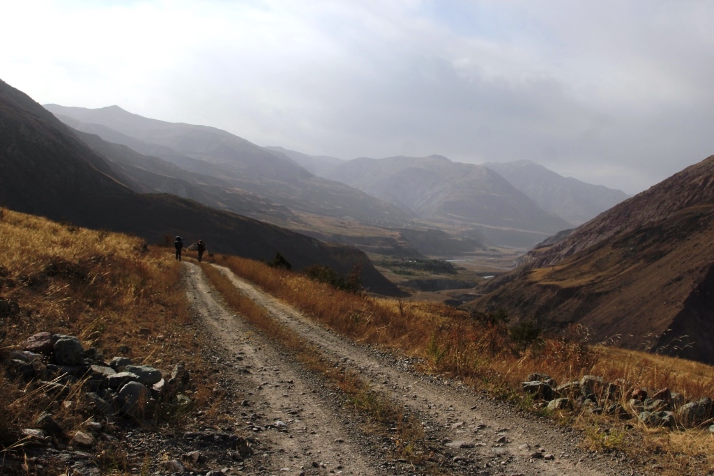
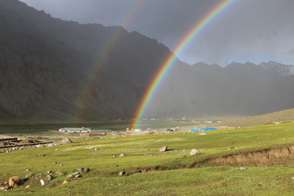
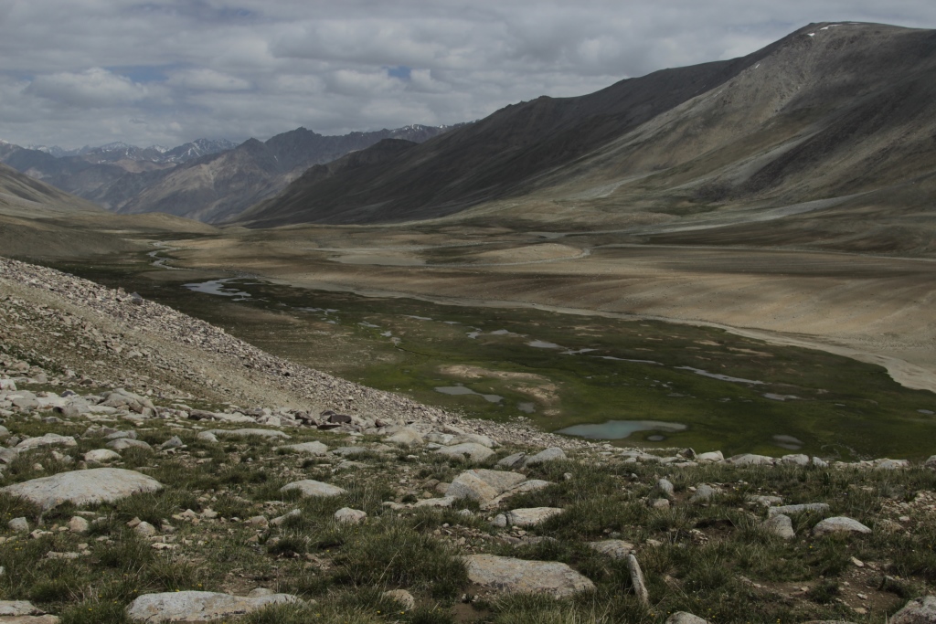
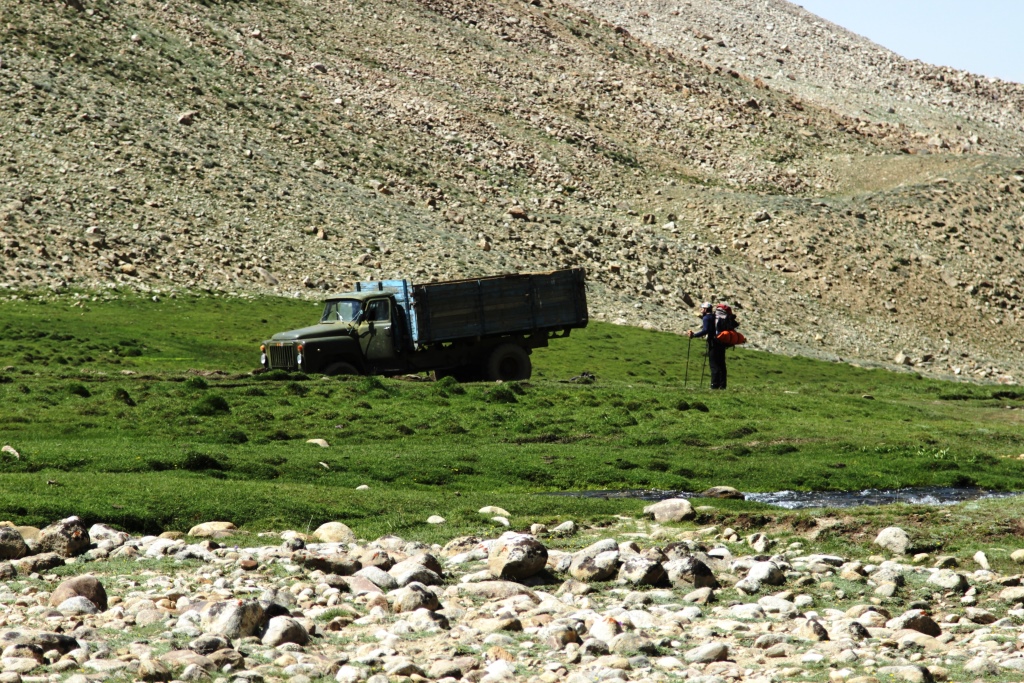
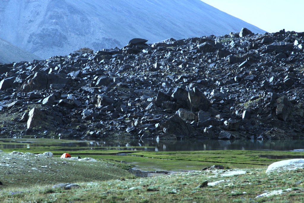
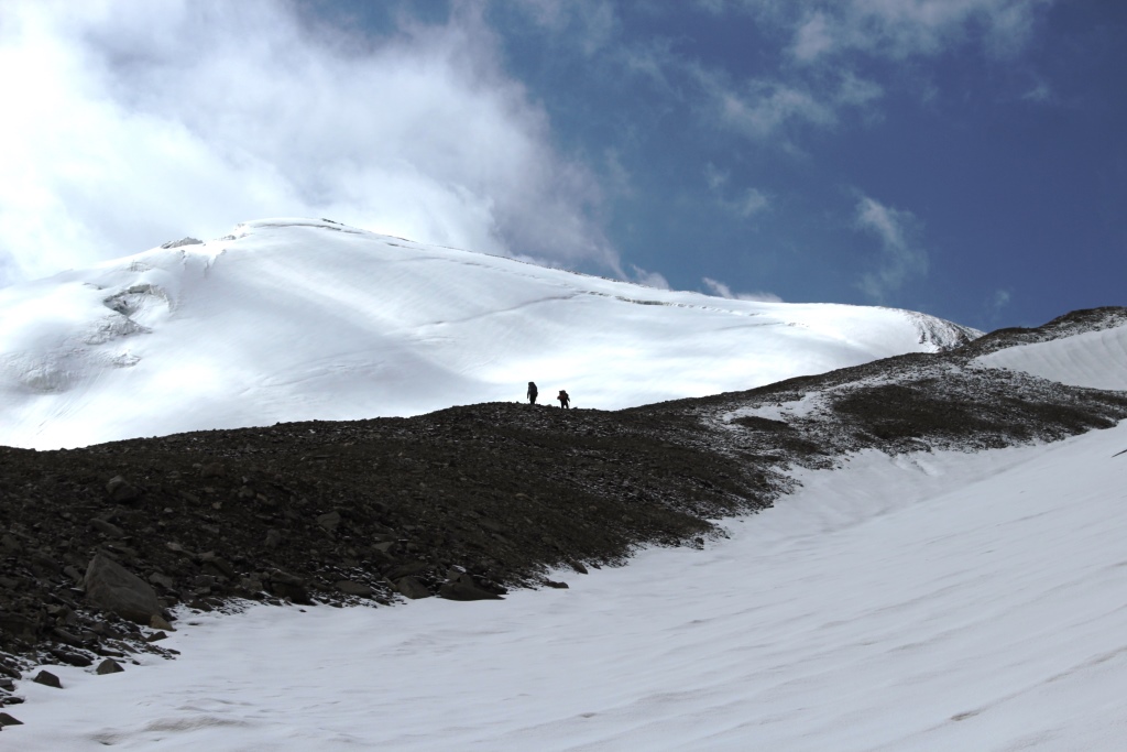
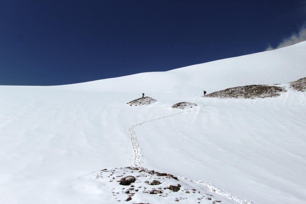
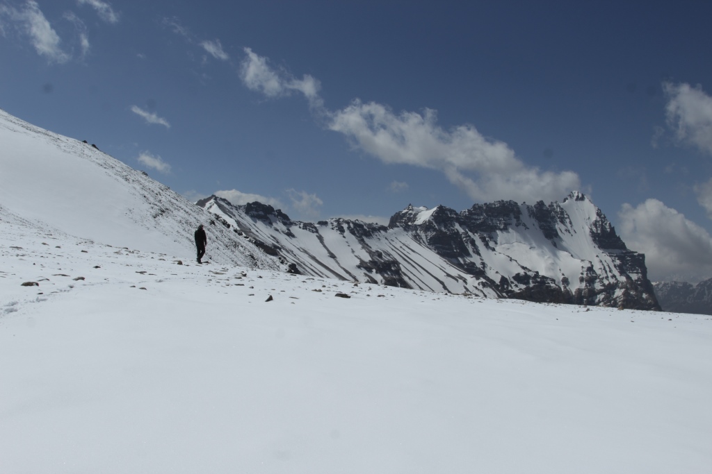
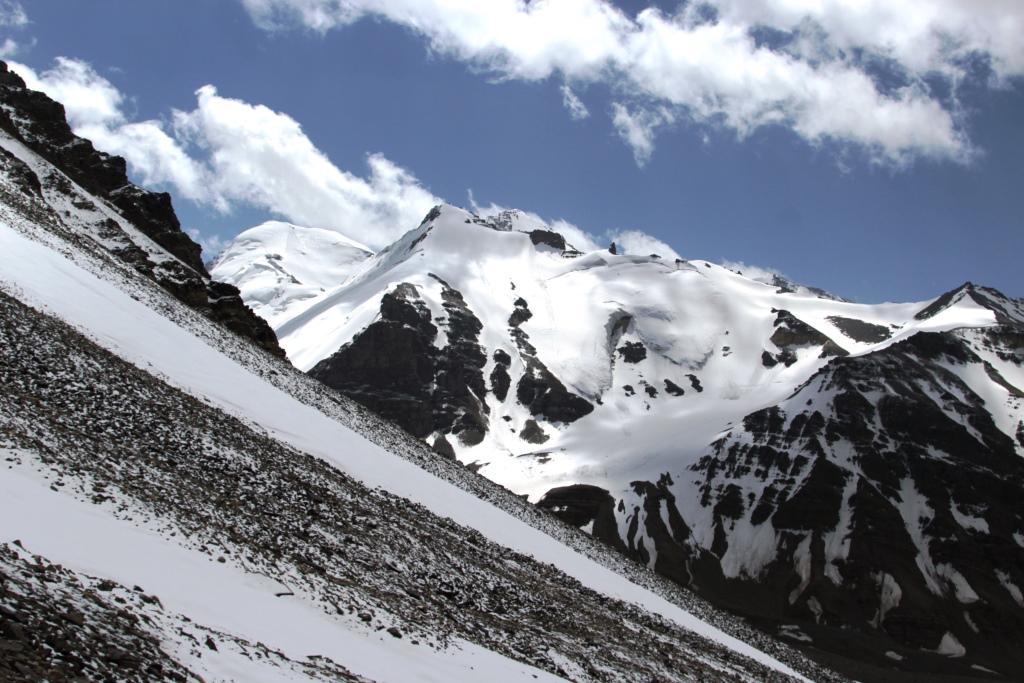
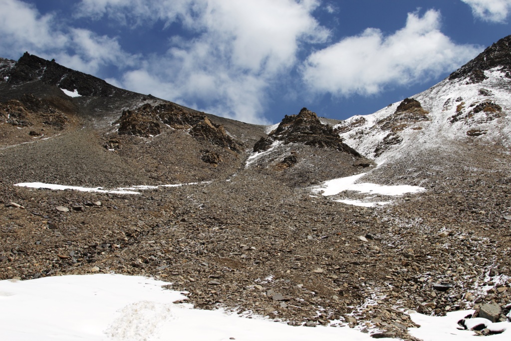
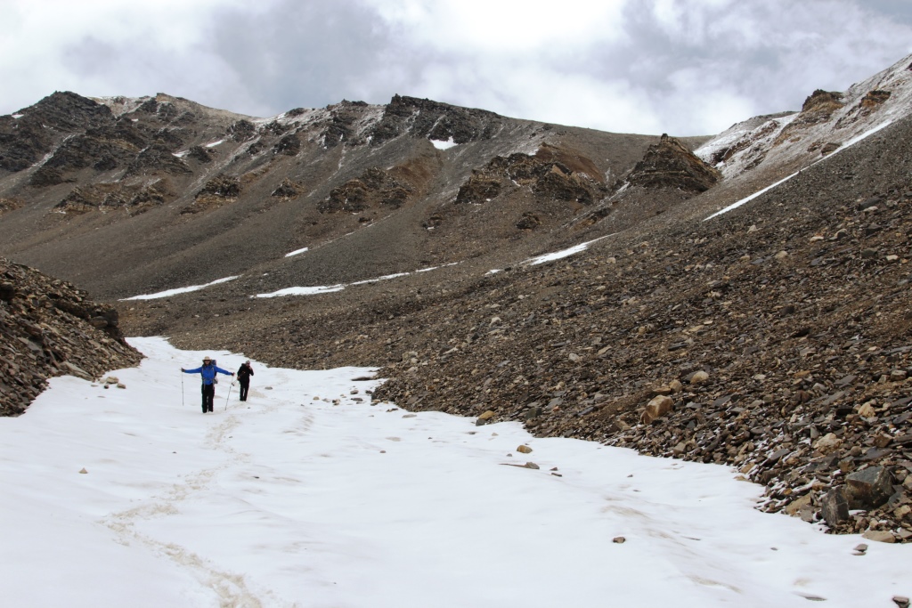
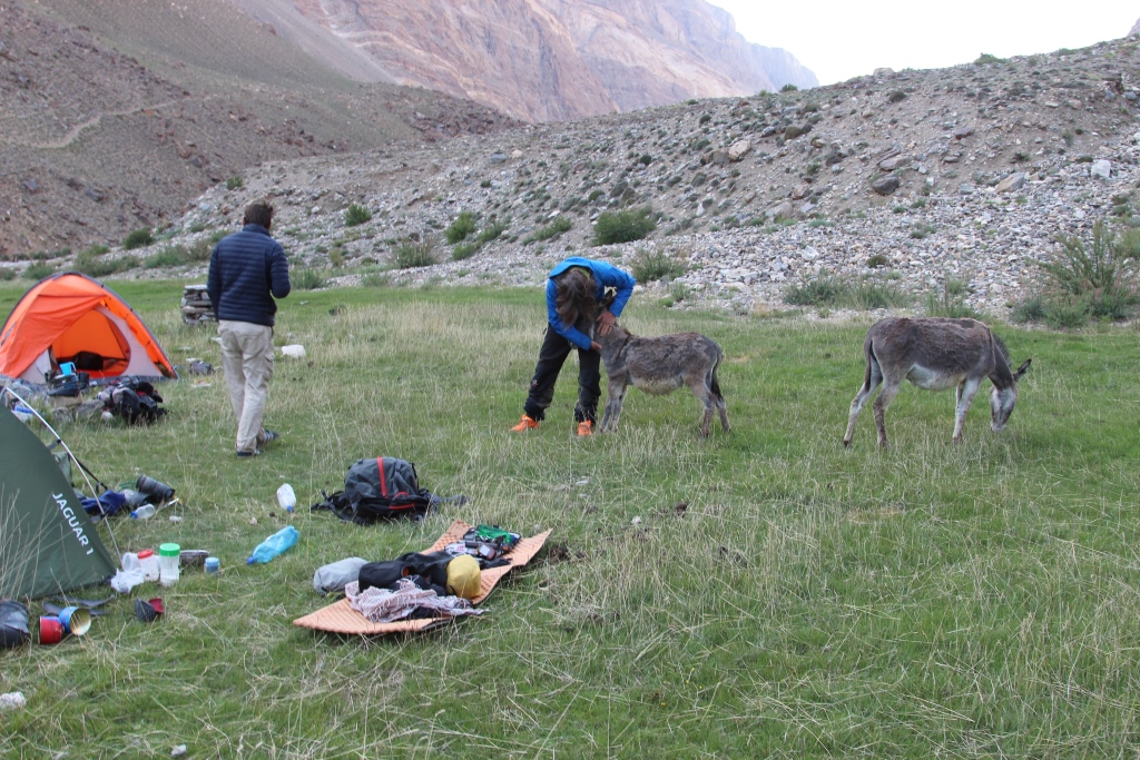
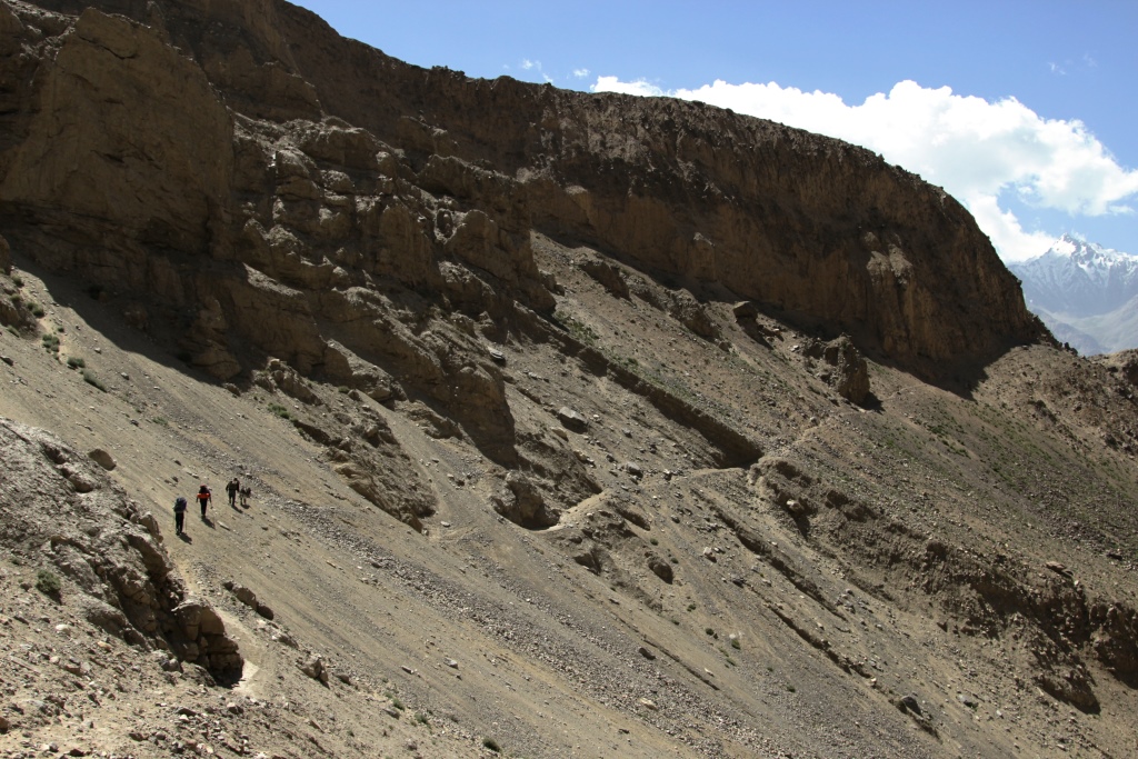
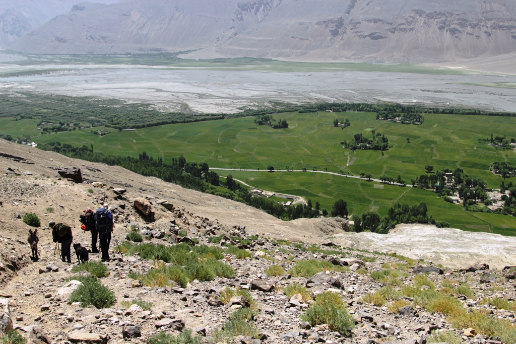
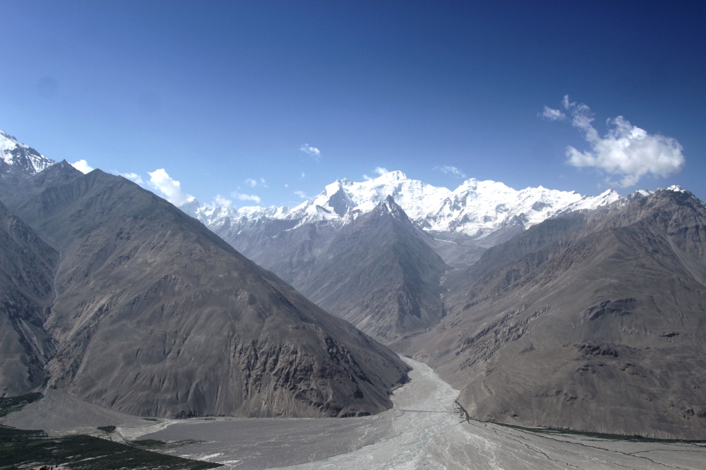
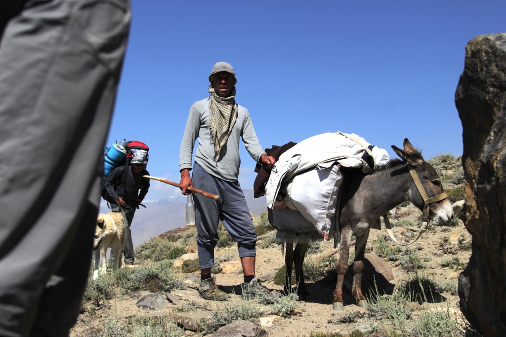
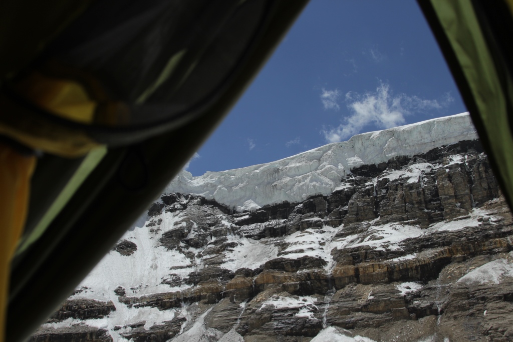
Climber. Vali Inoyatov. Reliable partner for climbing. Can you describe the process of travel and all travel on the Pamir in winter, the scientific term «stochastic» i.e. random, depending on many random factors: weather, avalanches, rock falls, road condition, from those who are on the road rides, the water level in the Gunt and Panj, and a lot more from what. The result and impressions are also impossible to predict. We need to go, look and feel everything personally. Our opinion. Very beautiful and very extreme! See the photo.
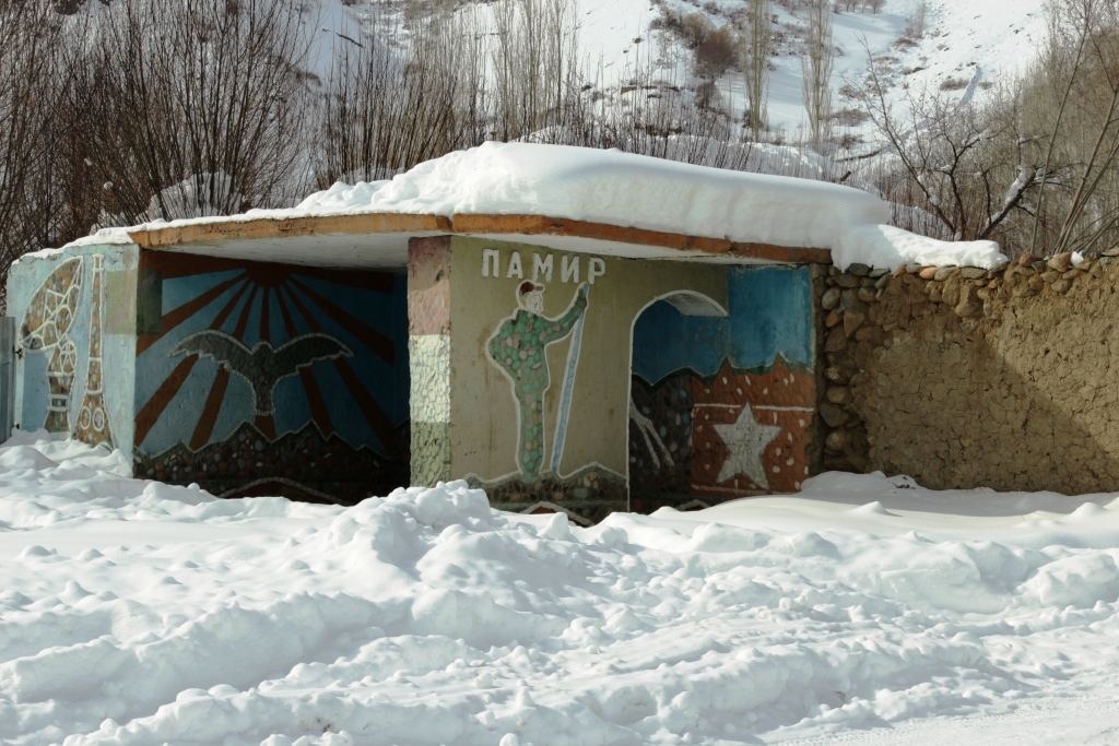
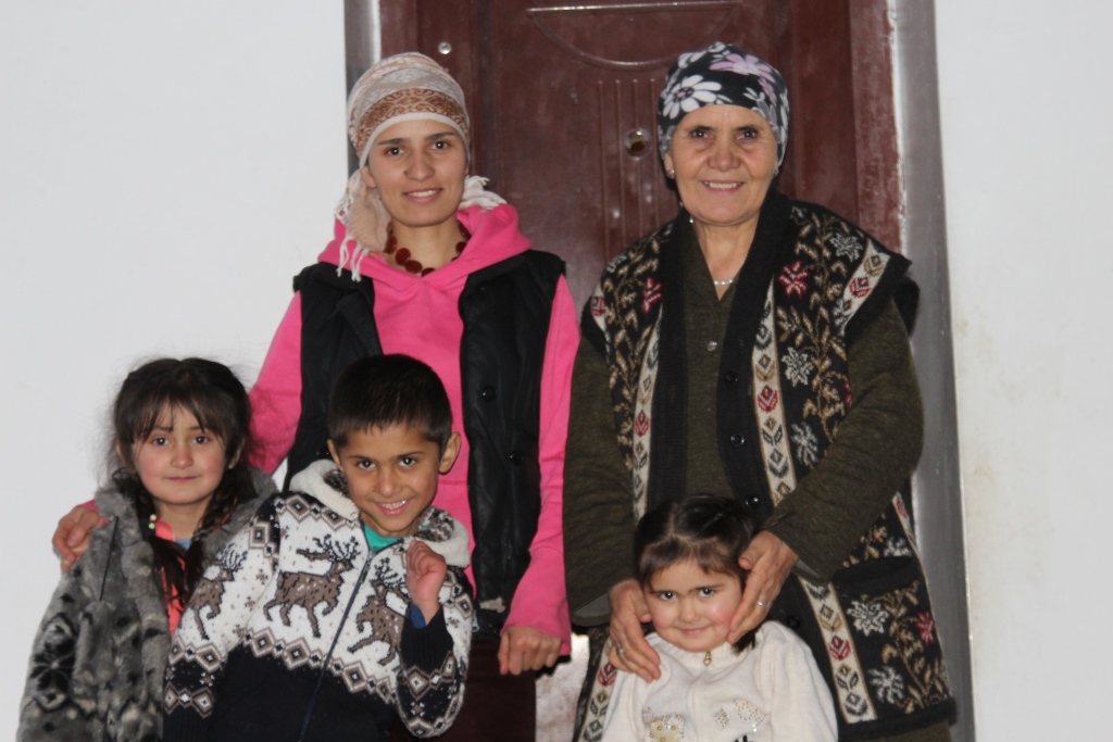
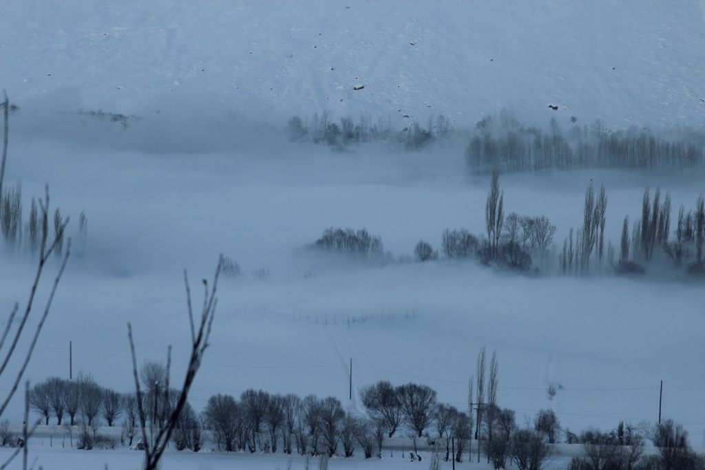
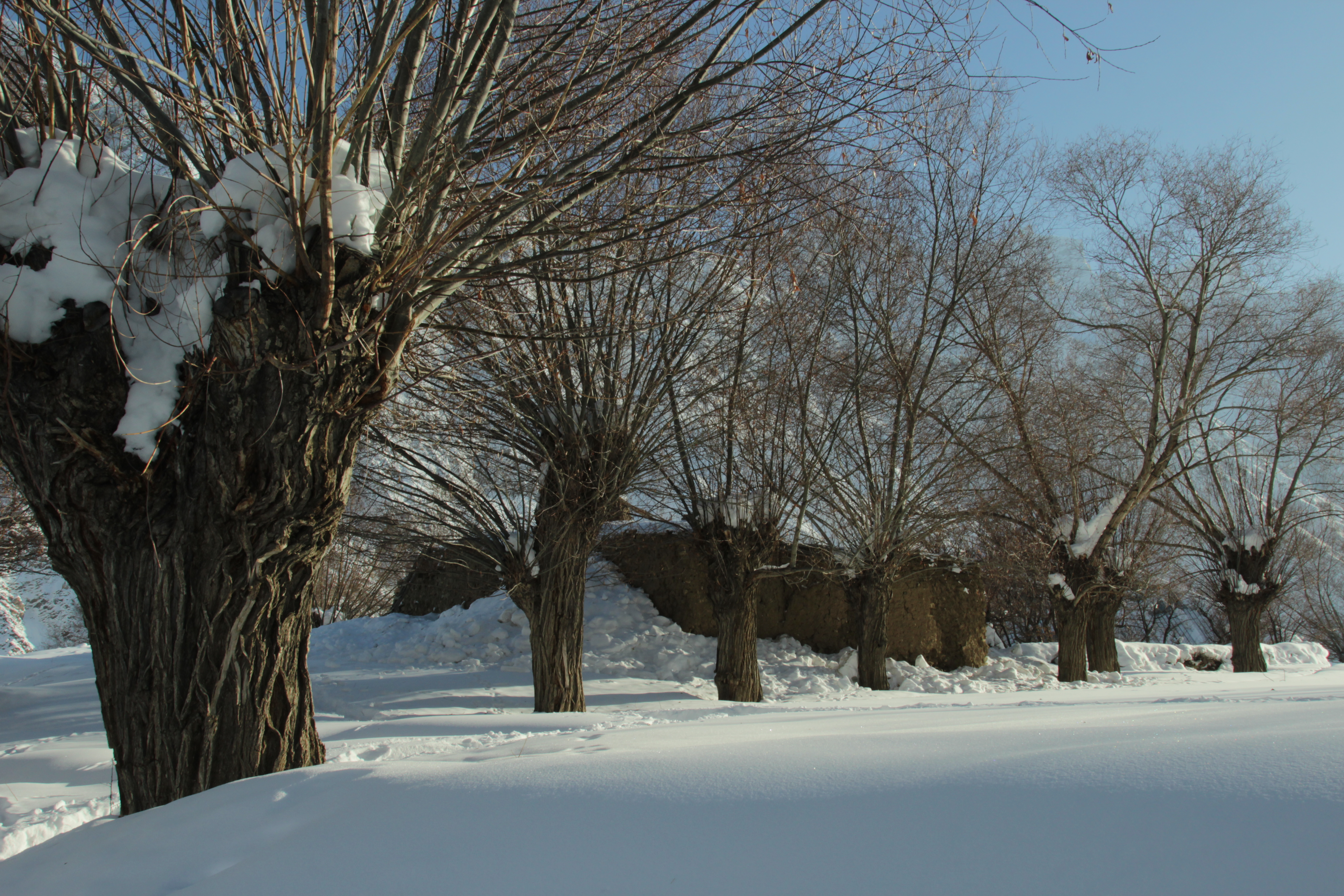
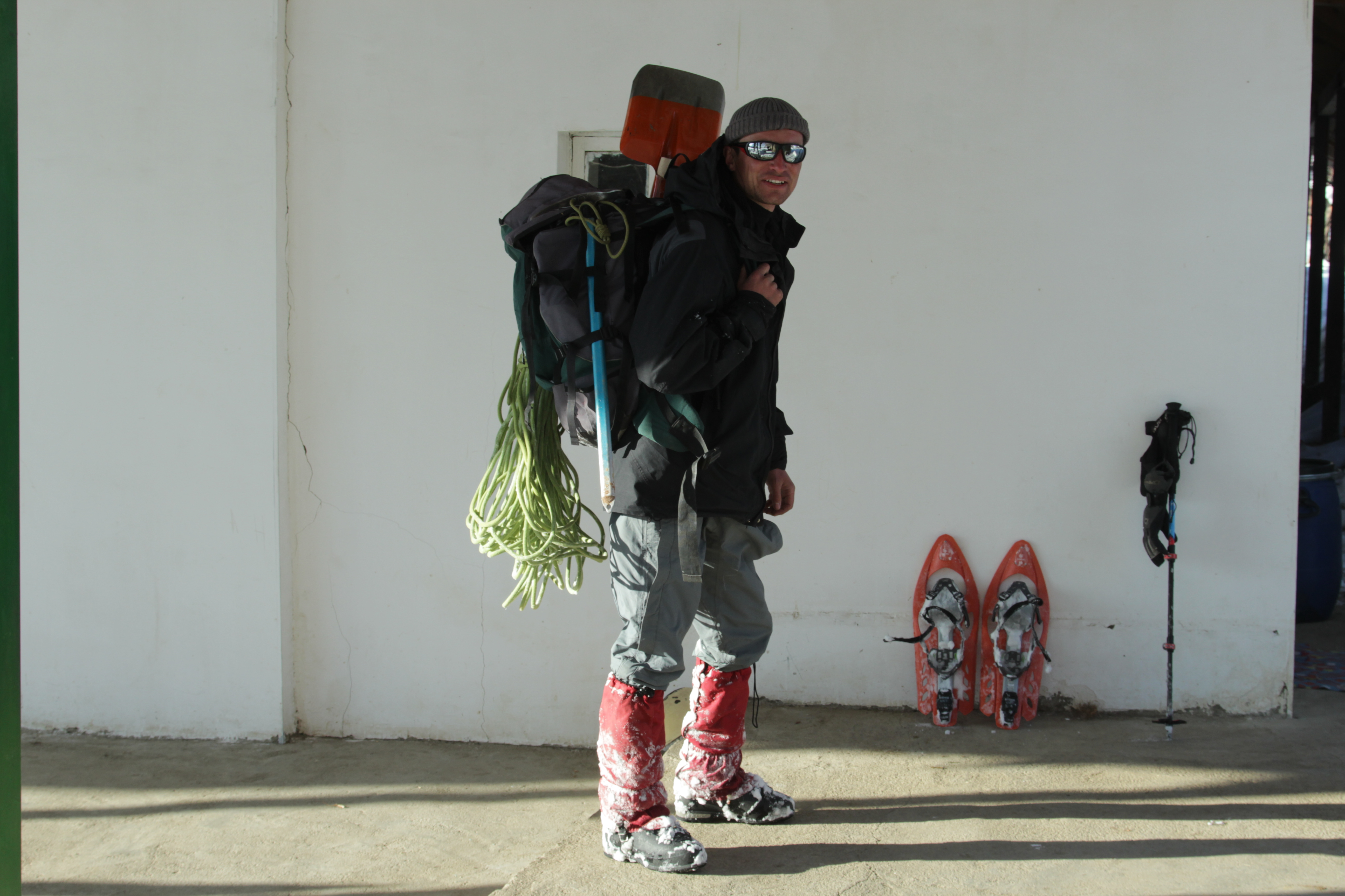
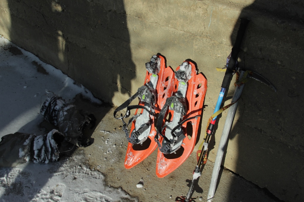
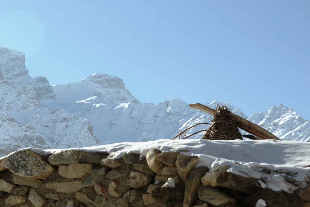
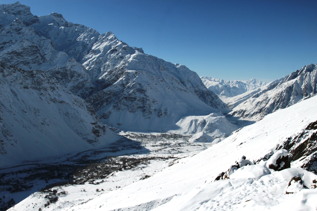
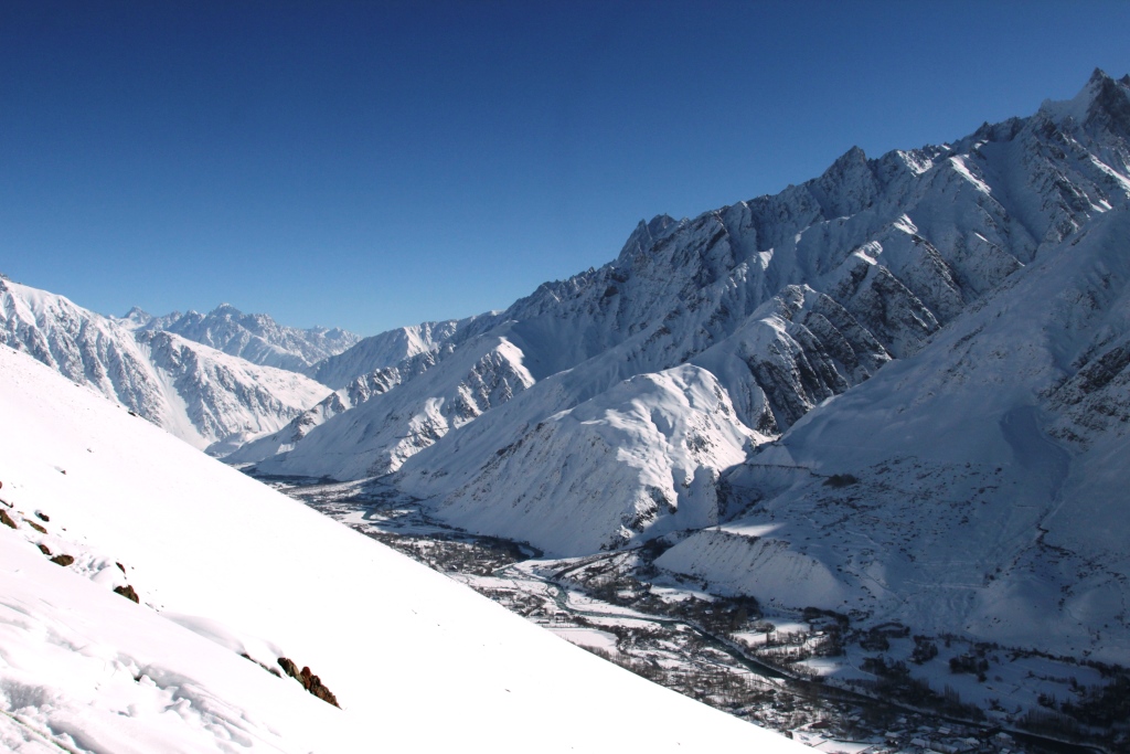
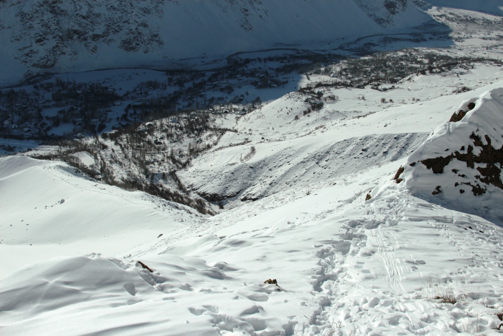
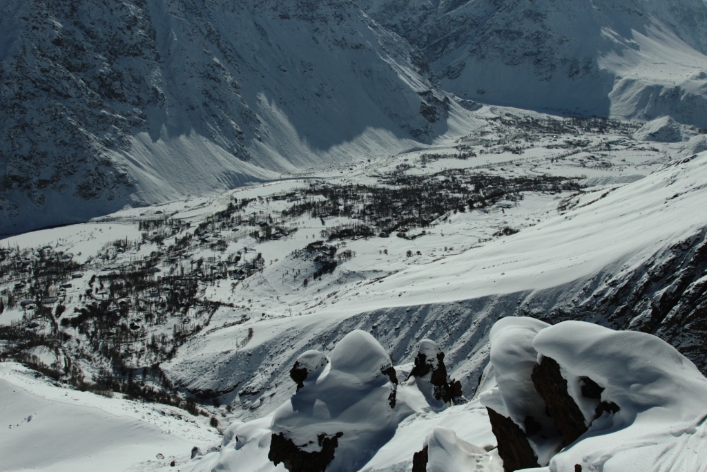
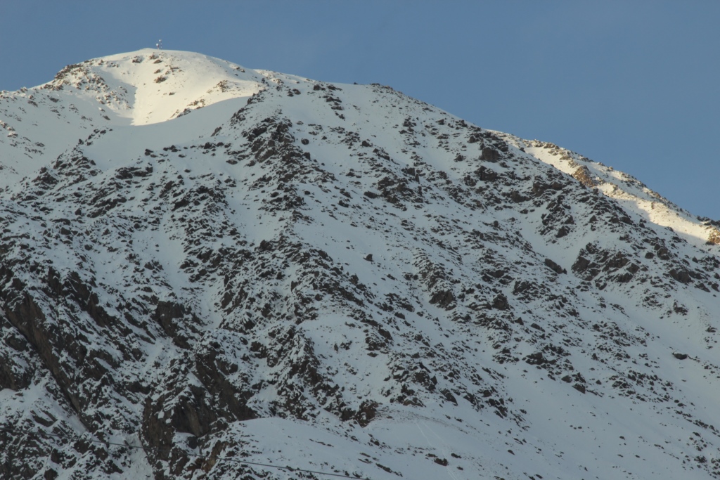
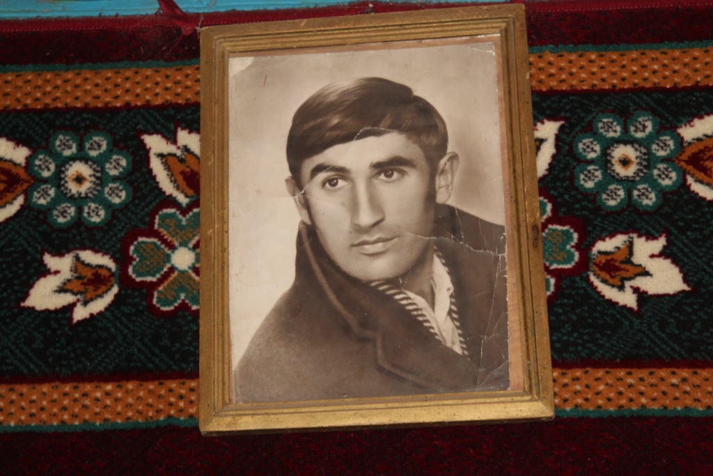
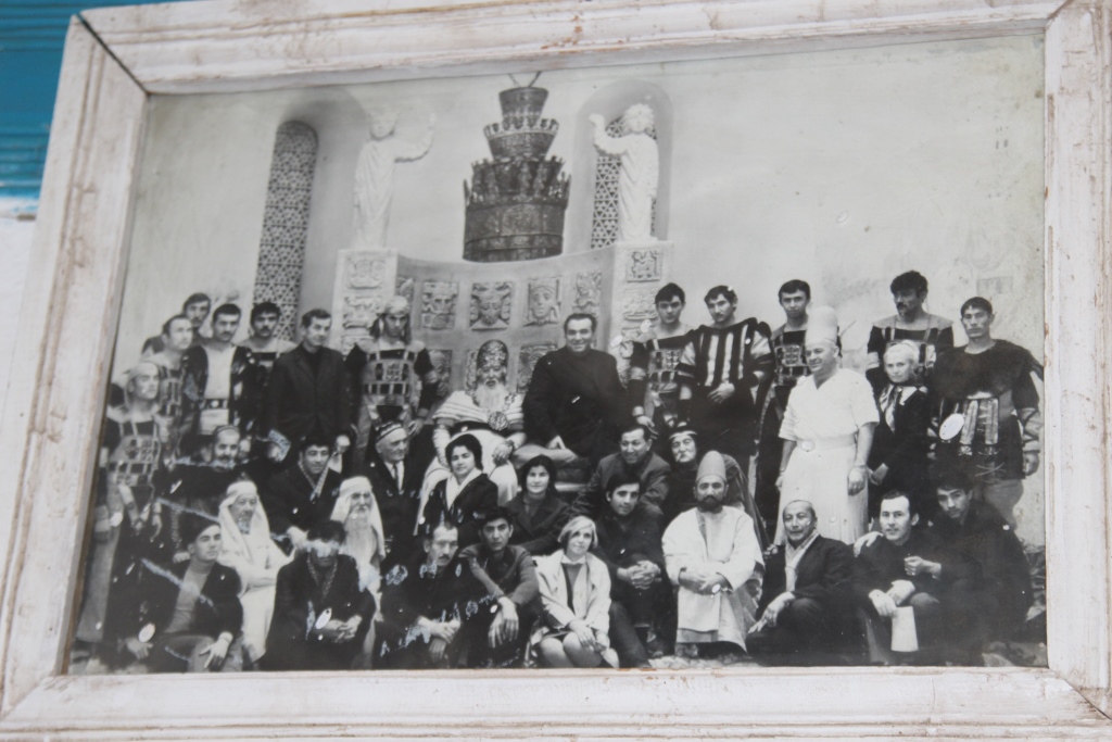
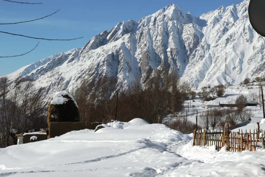
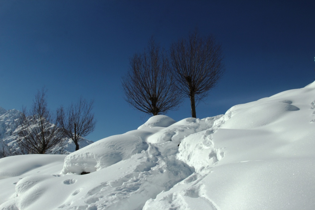
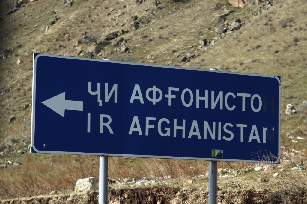
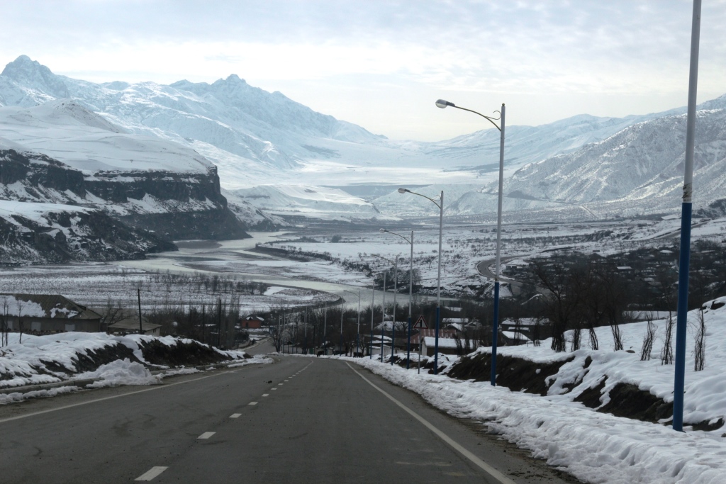
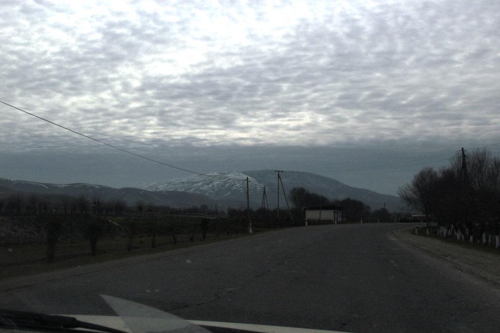
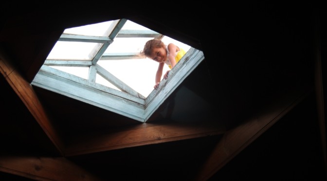
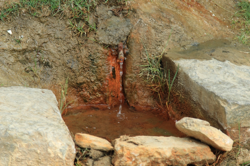
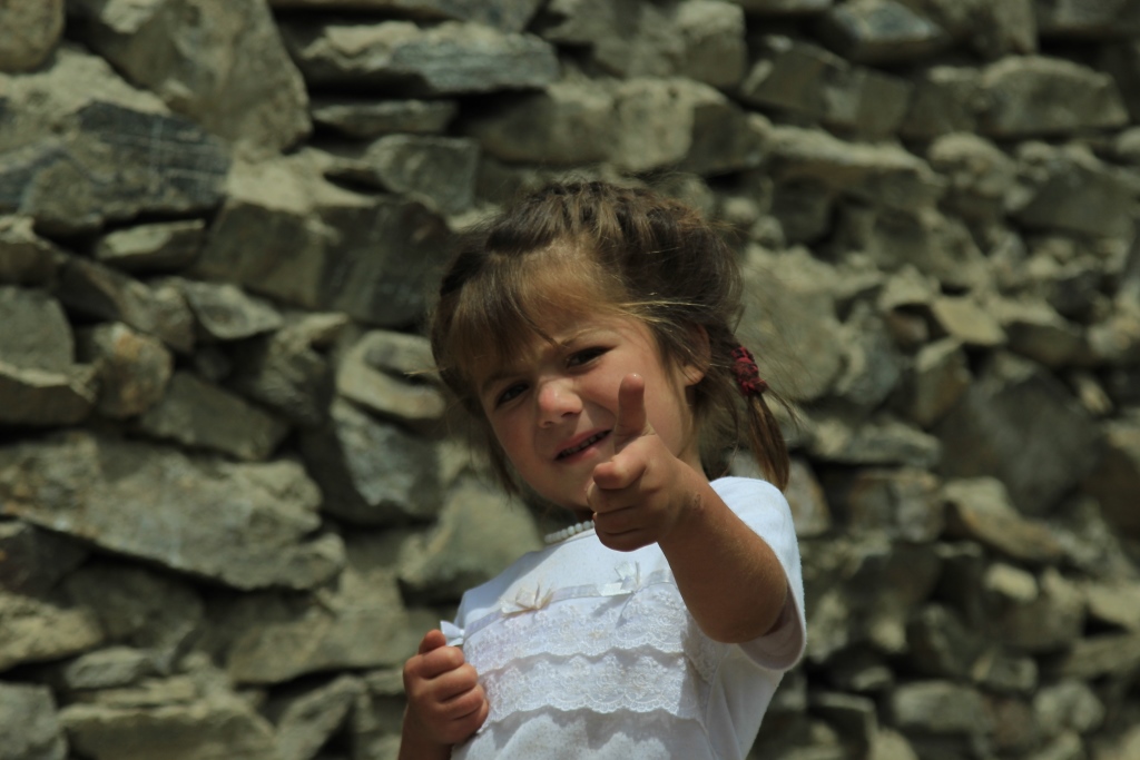
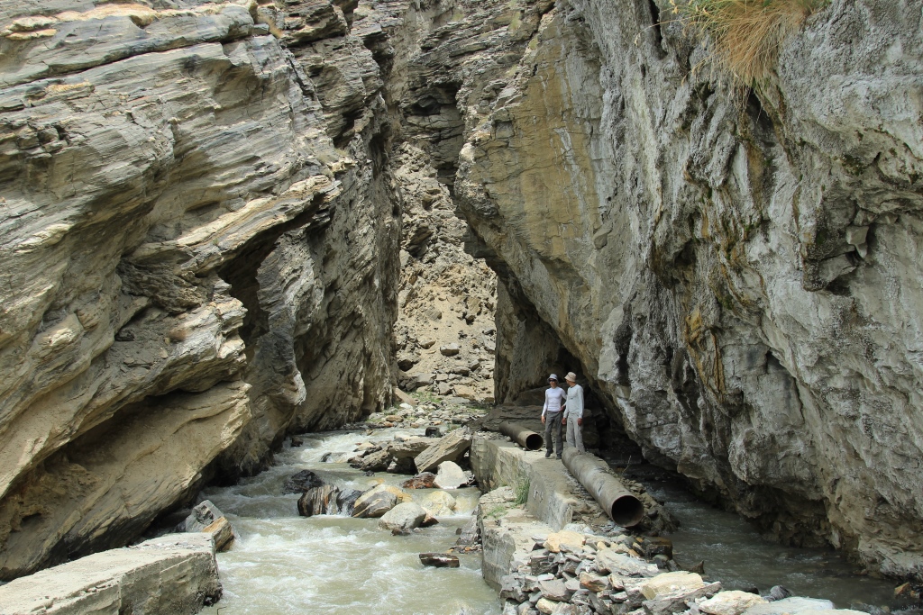
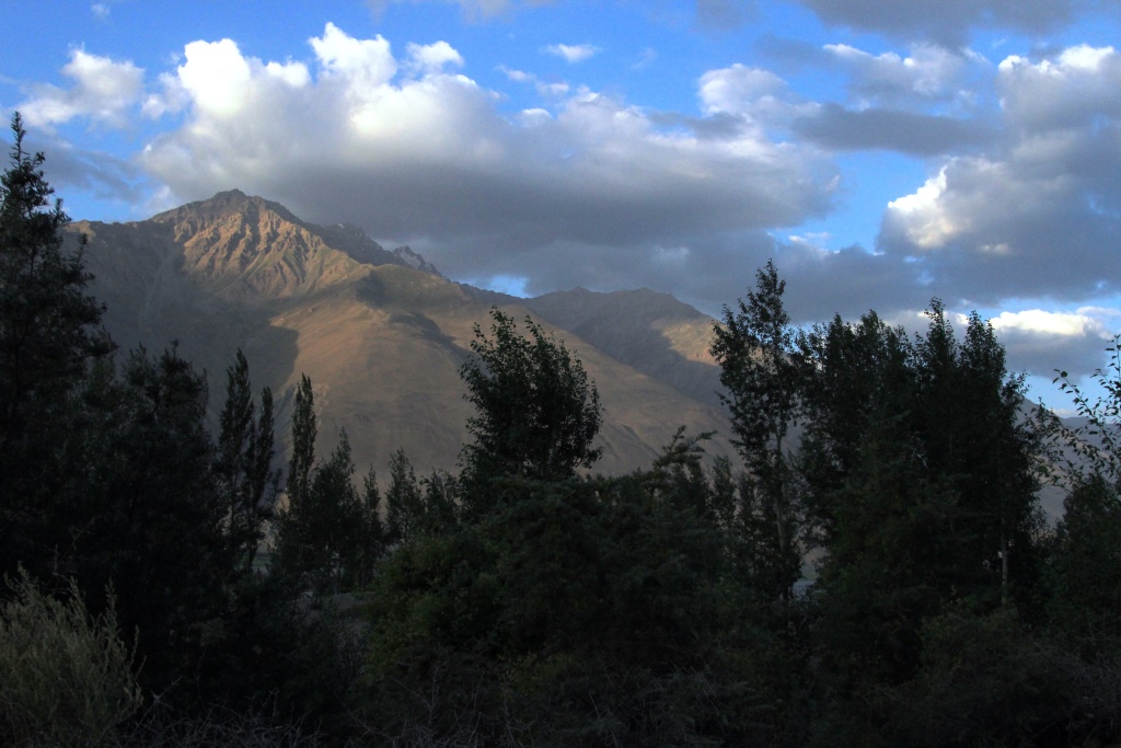
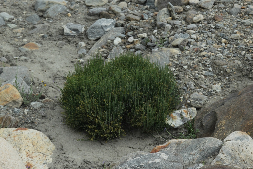
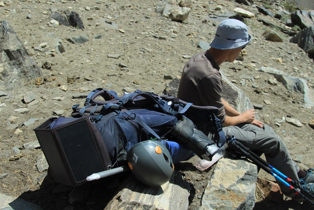
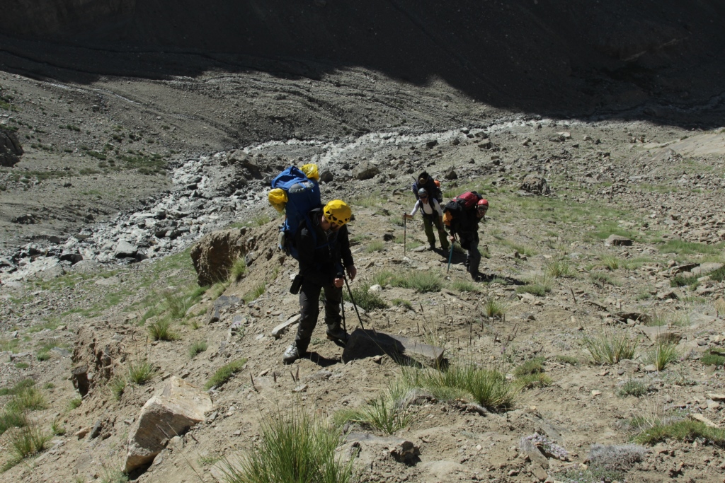
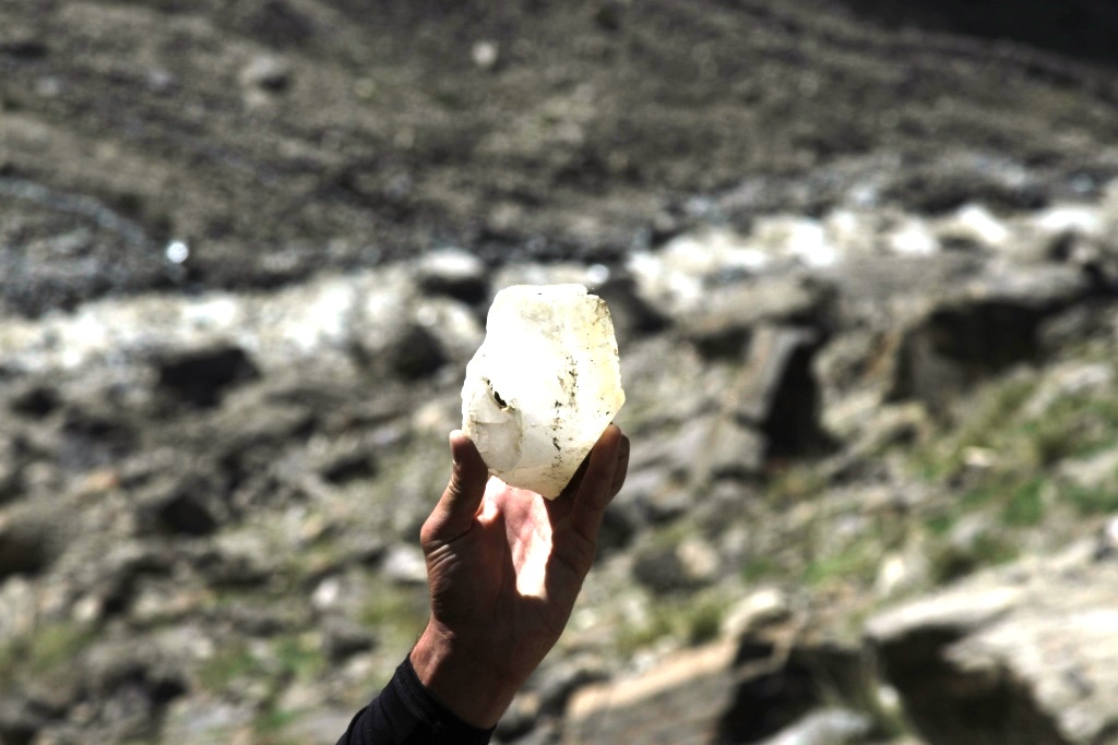
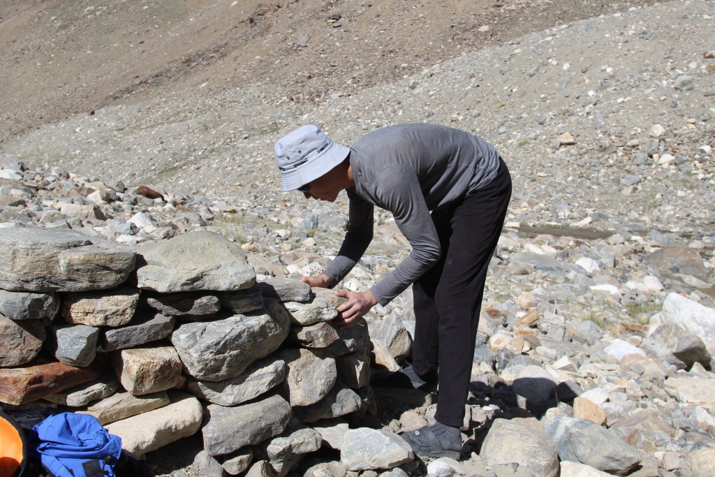
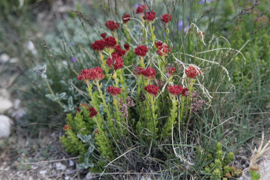
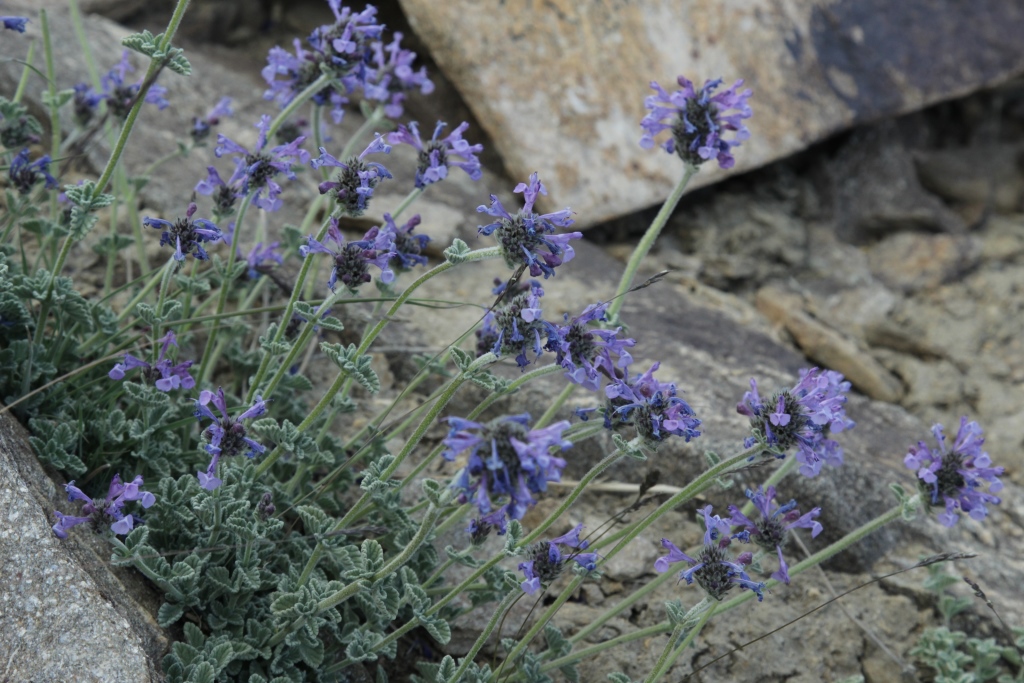
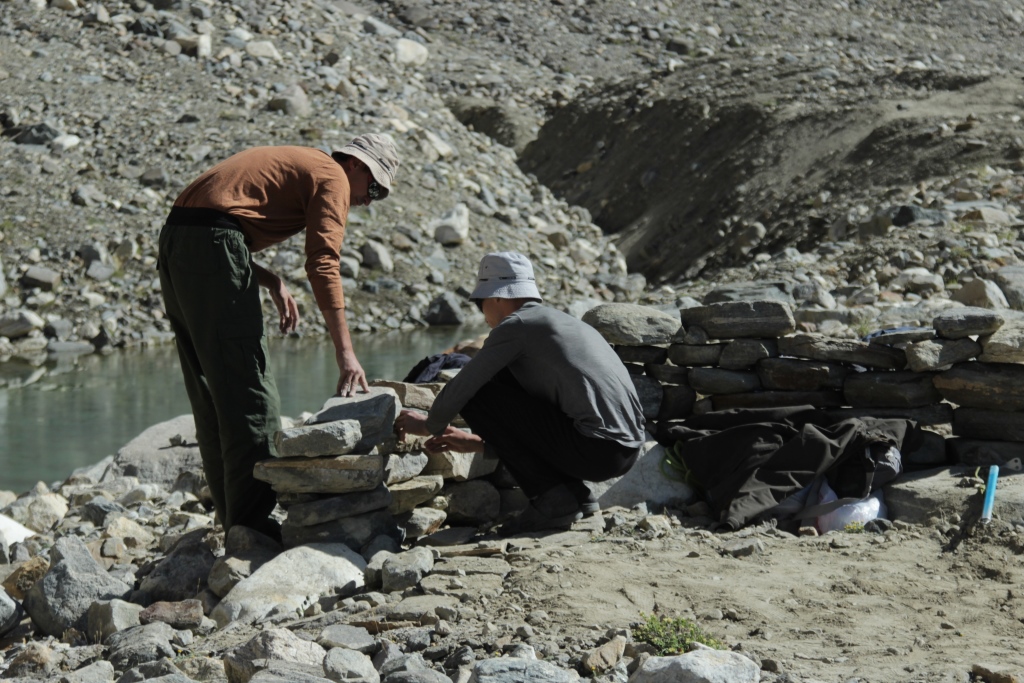
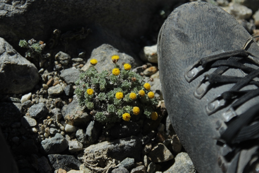
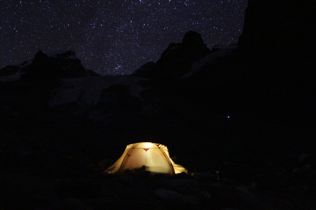
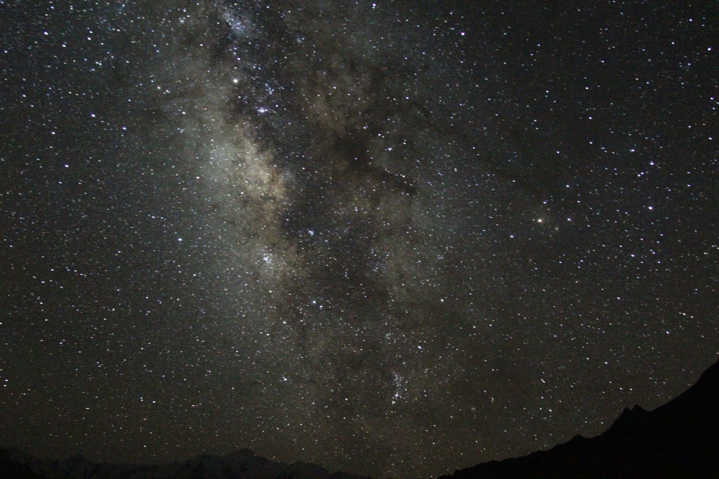
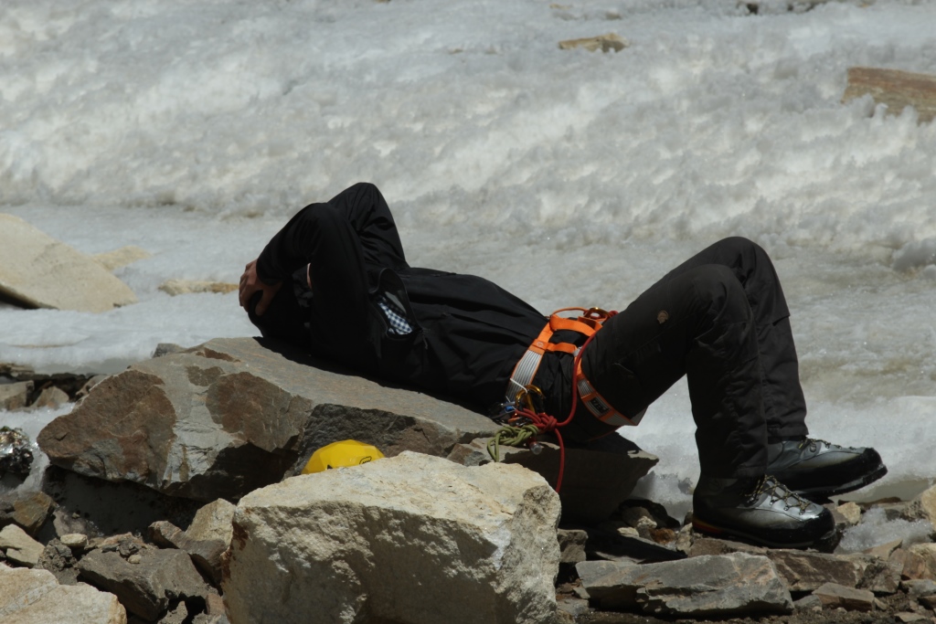
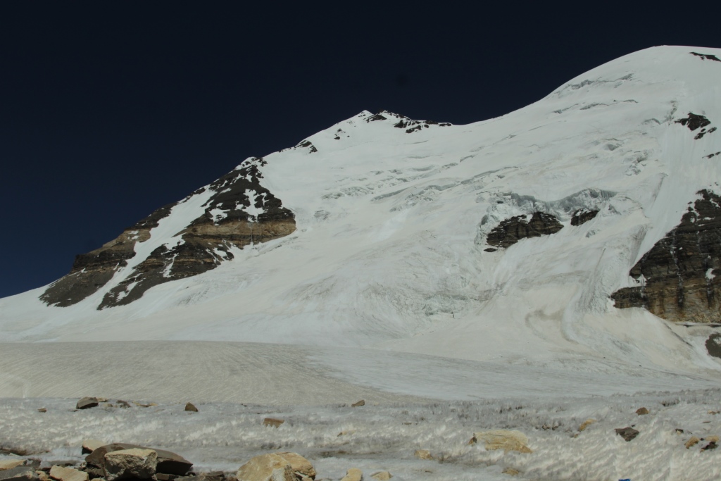
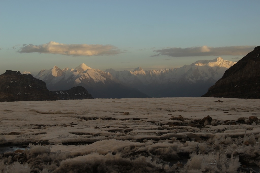
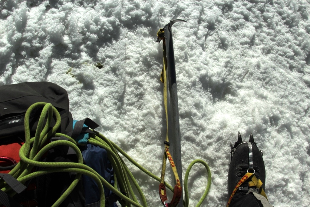
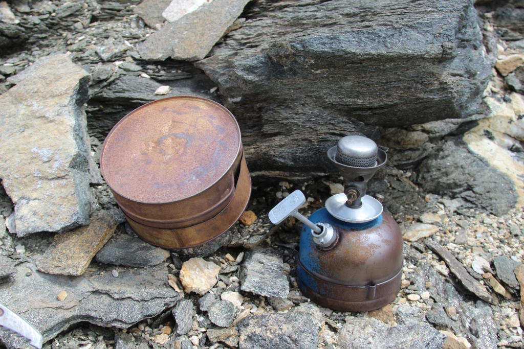
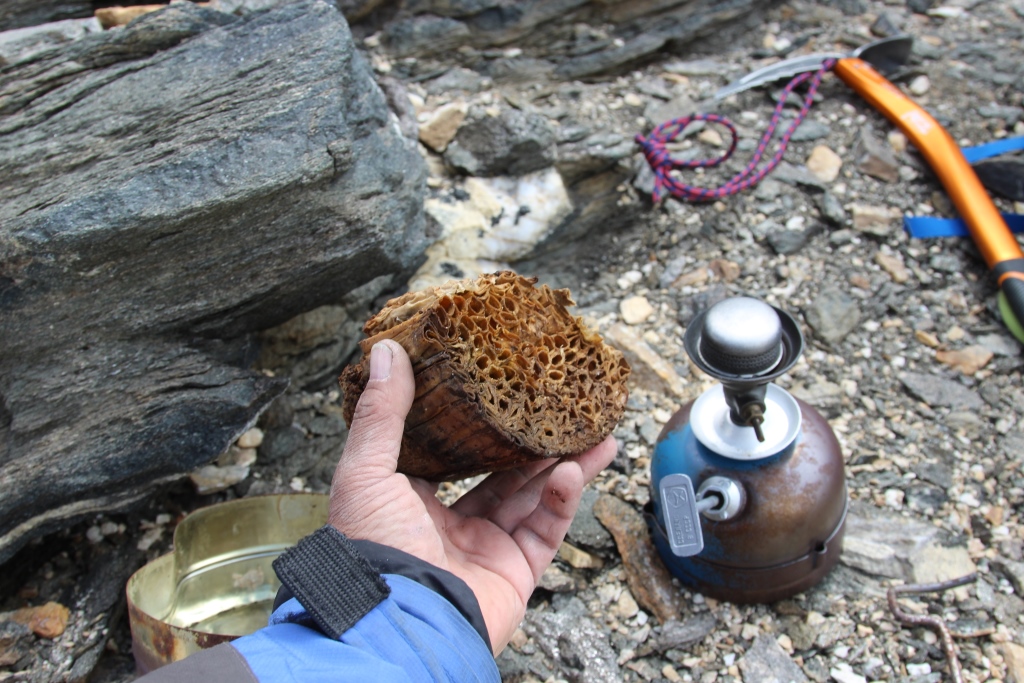
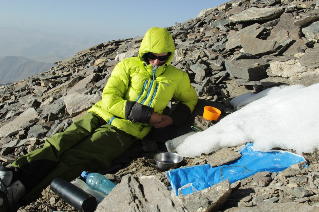
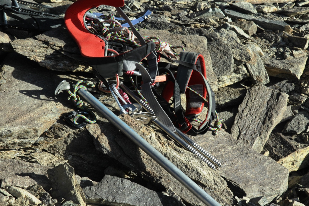
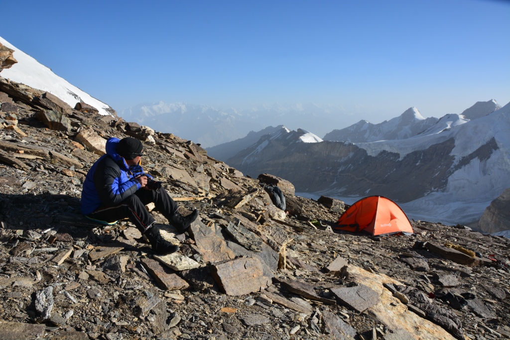
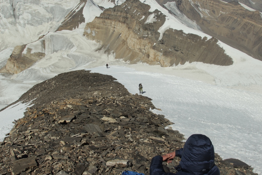
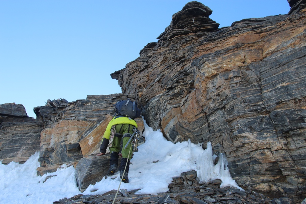
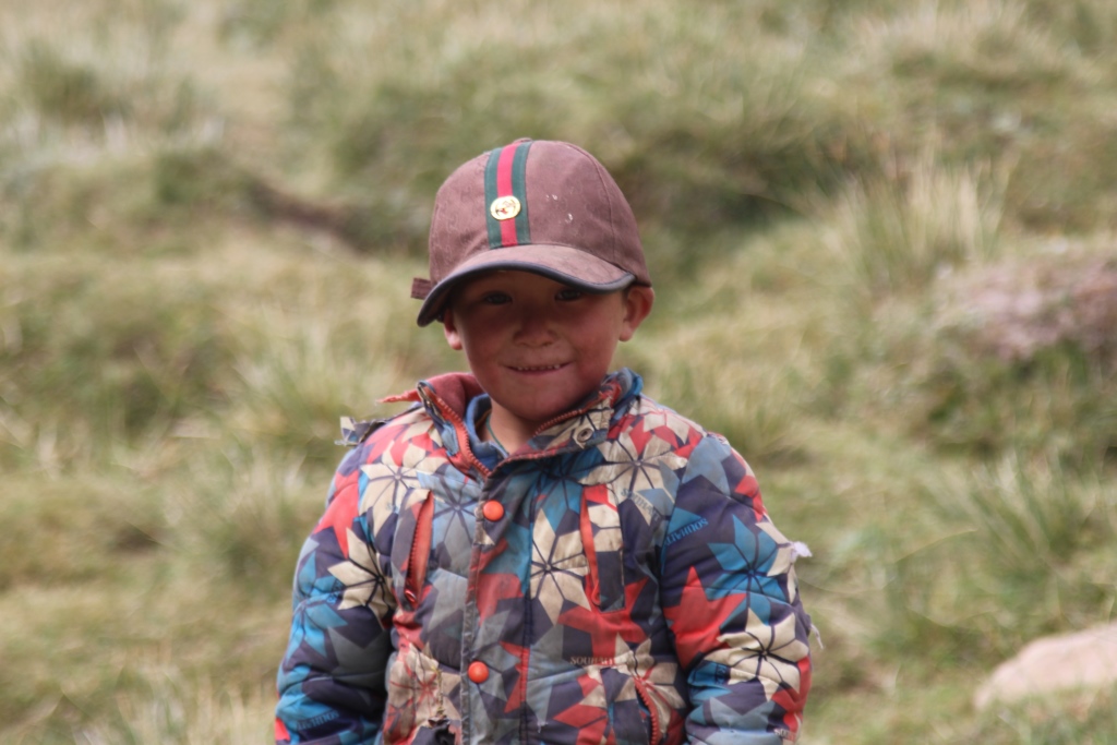
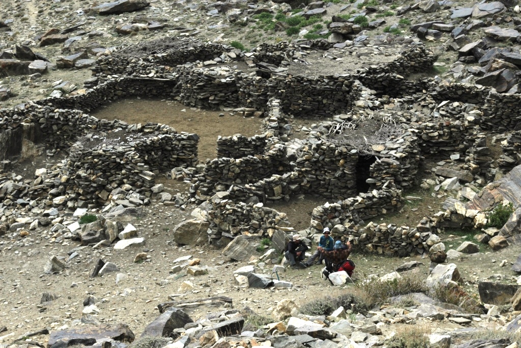
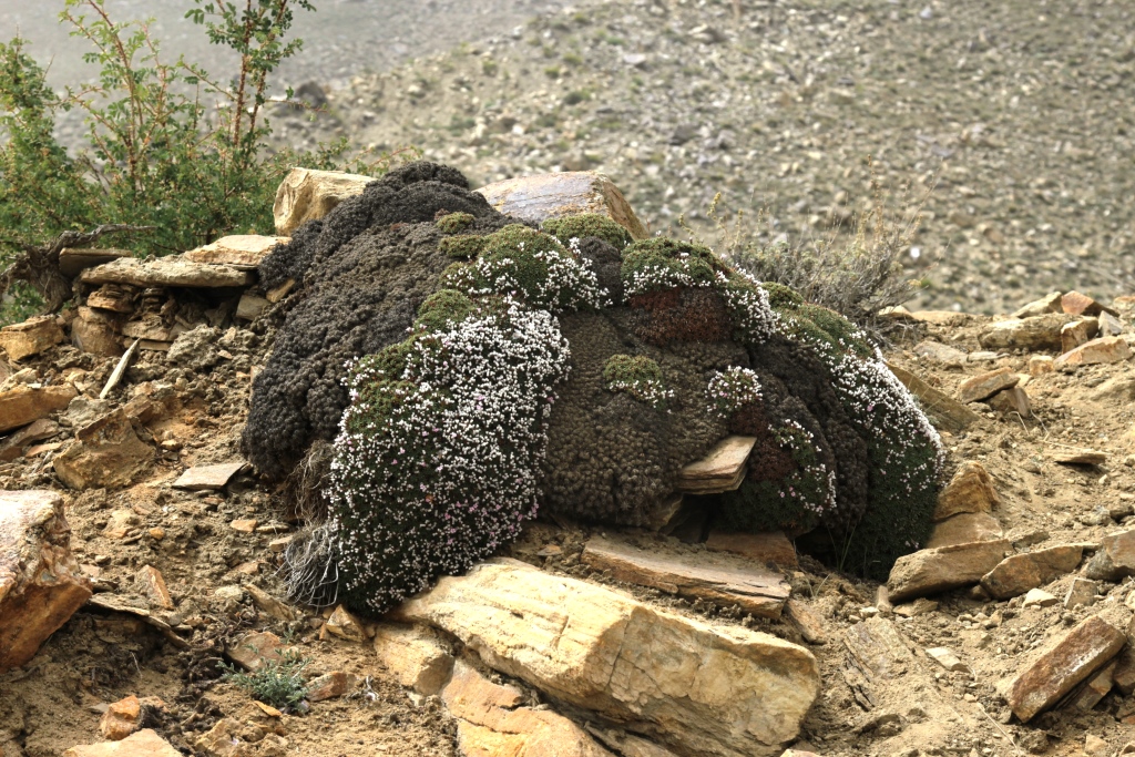
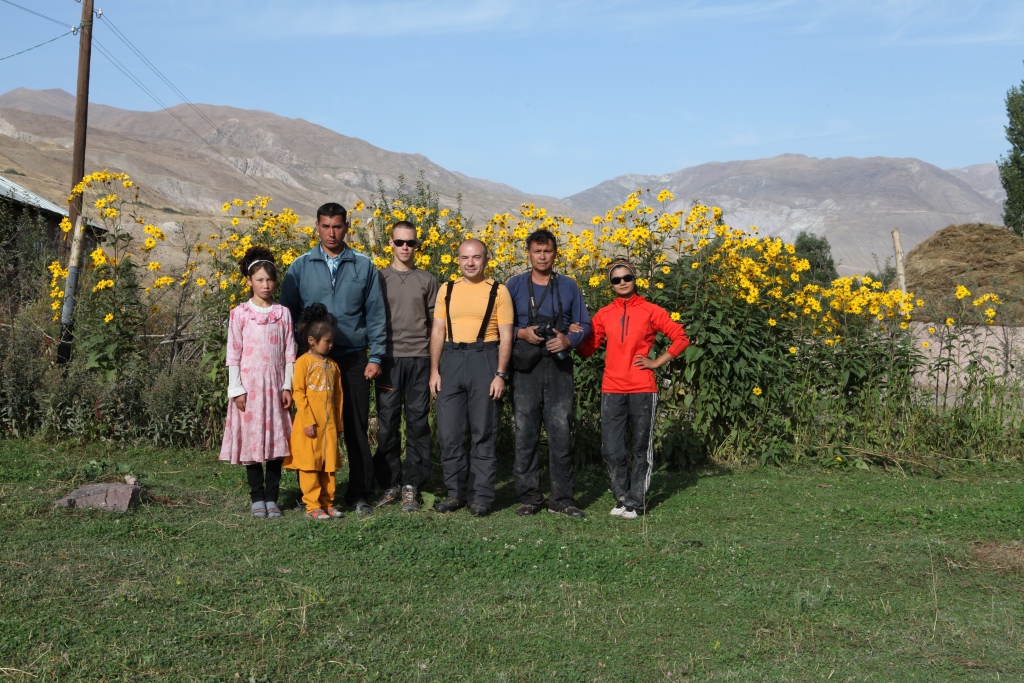
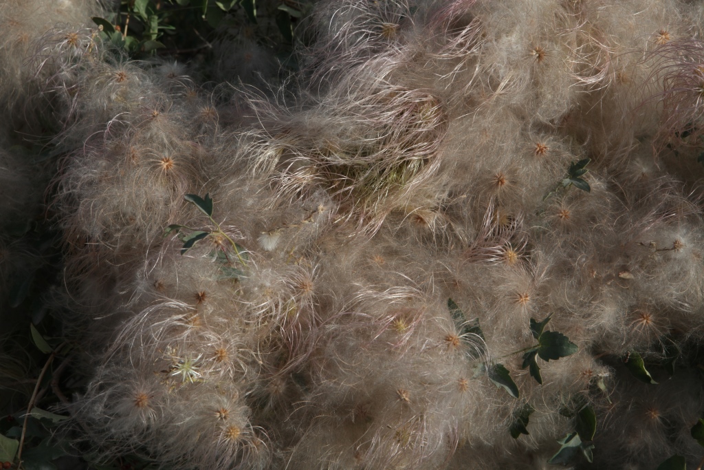
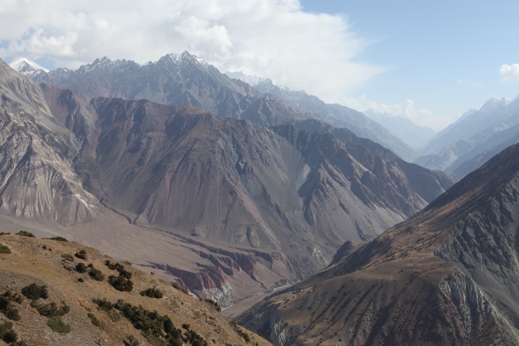
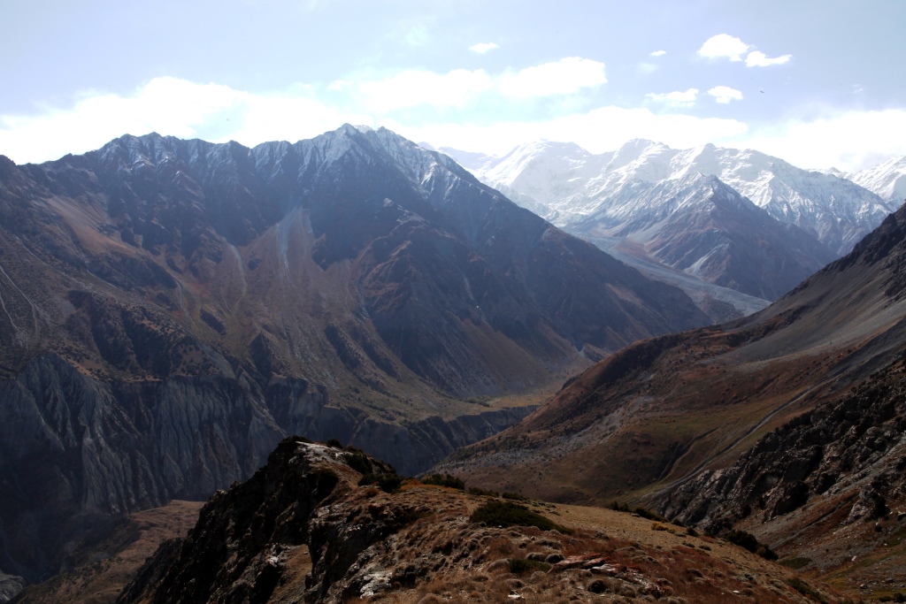
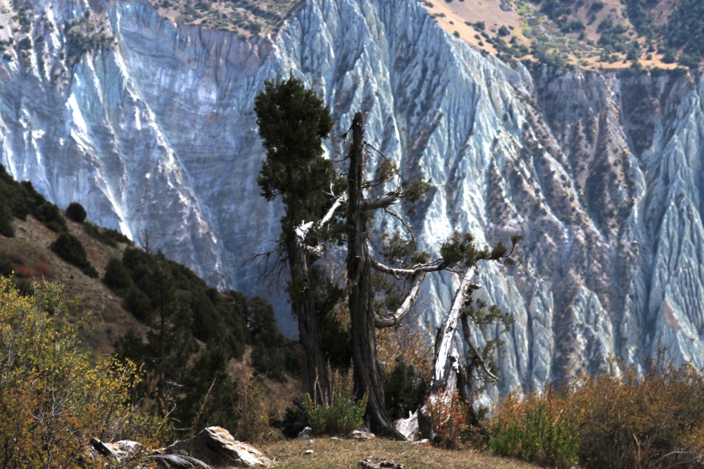
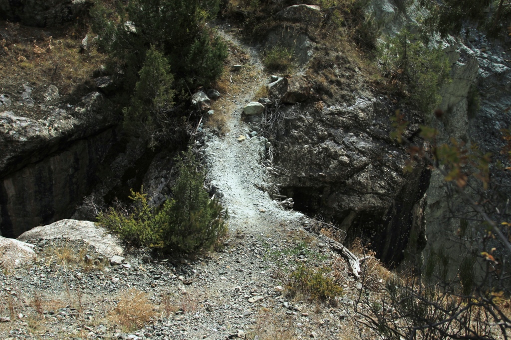
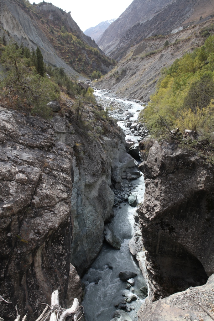
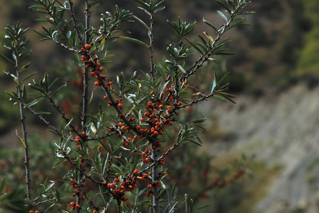
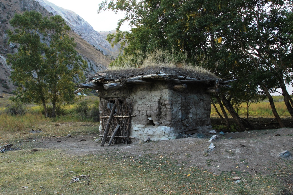
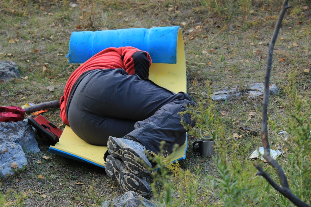
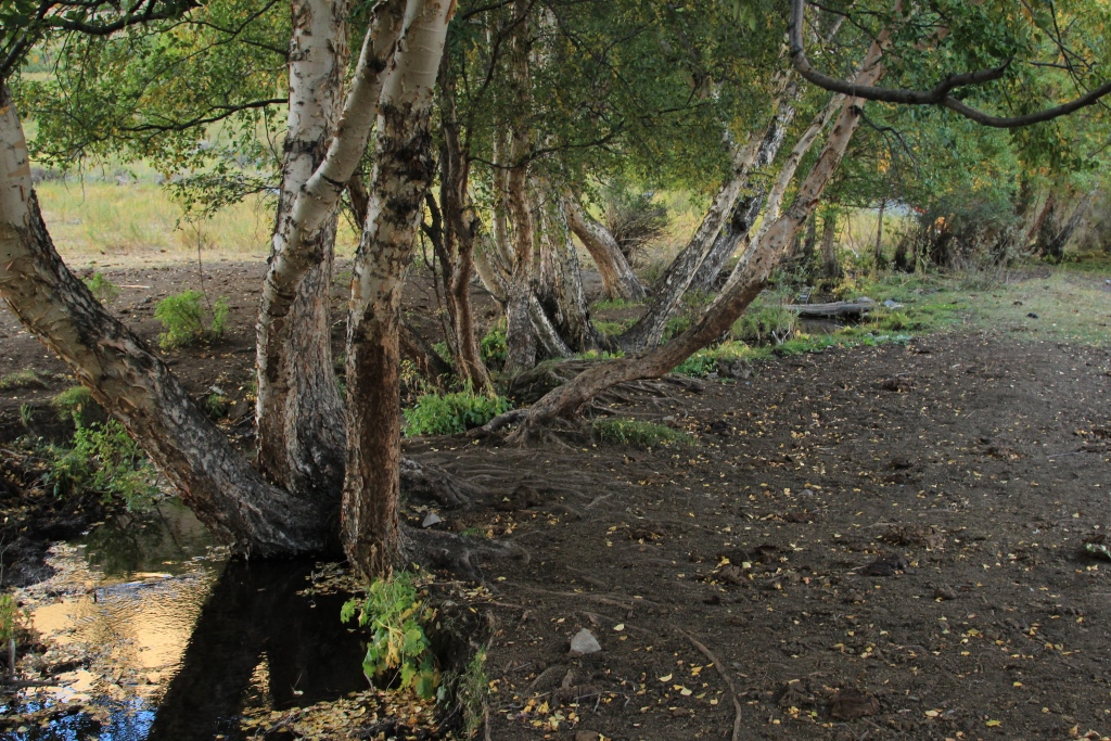
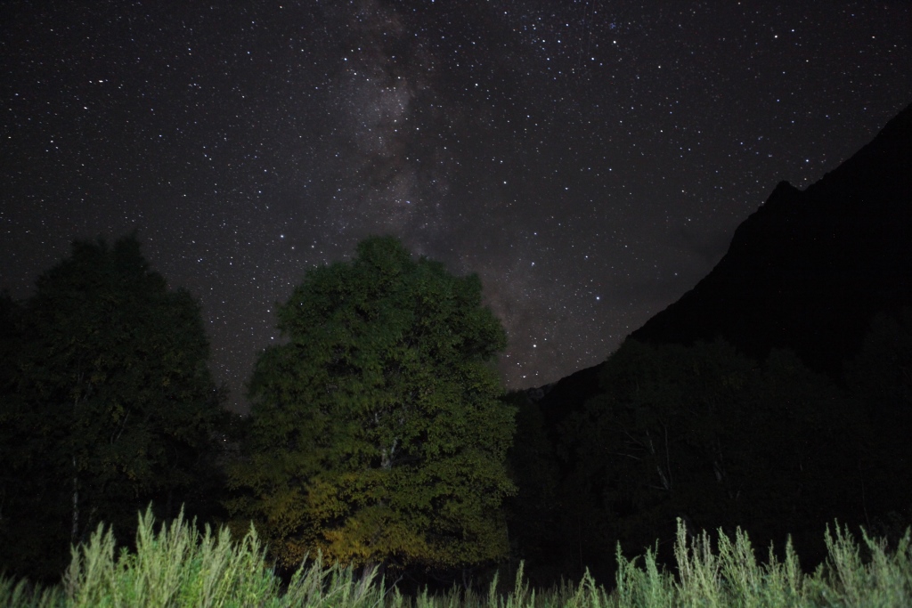
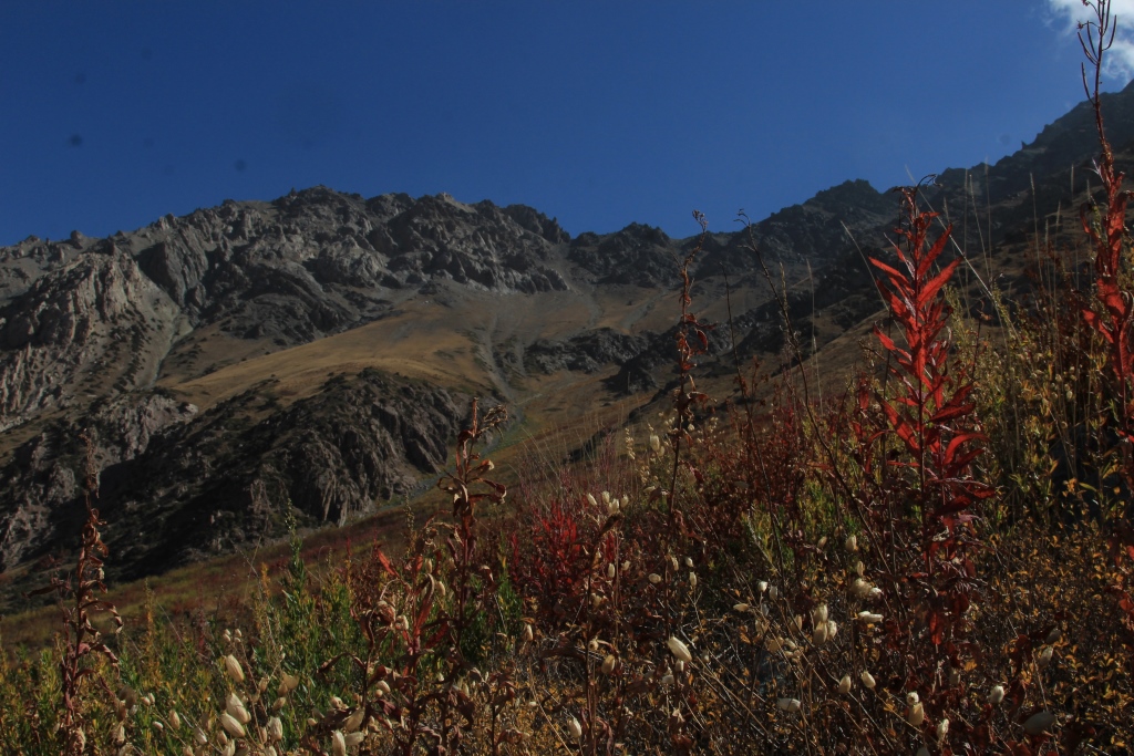
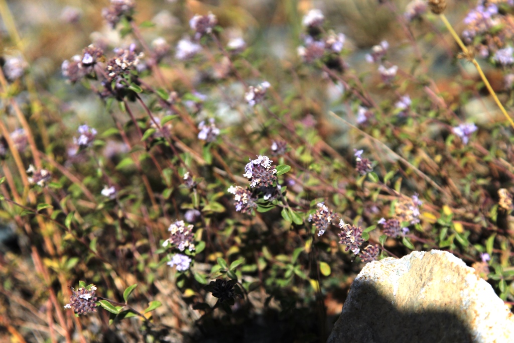
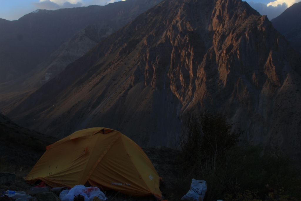
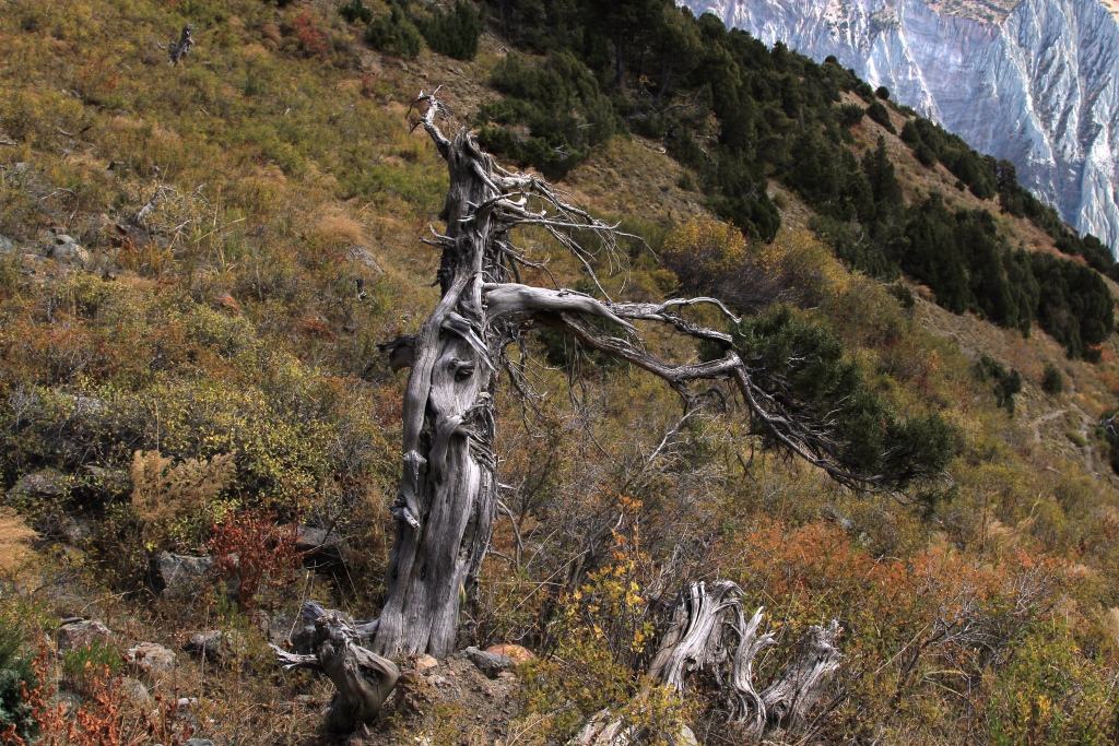
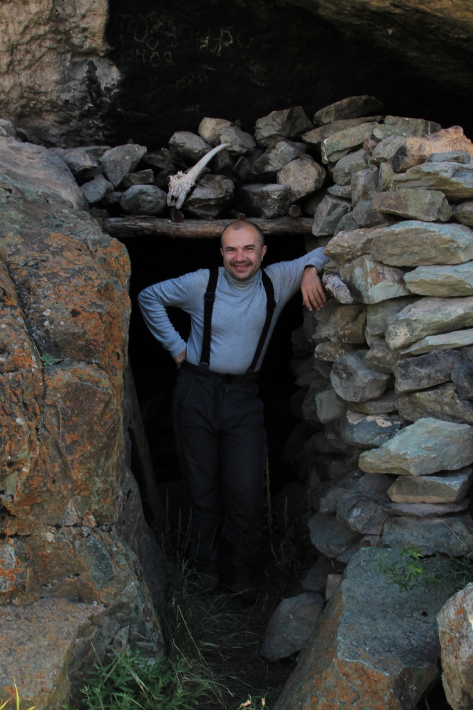
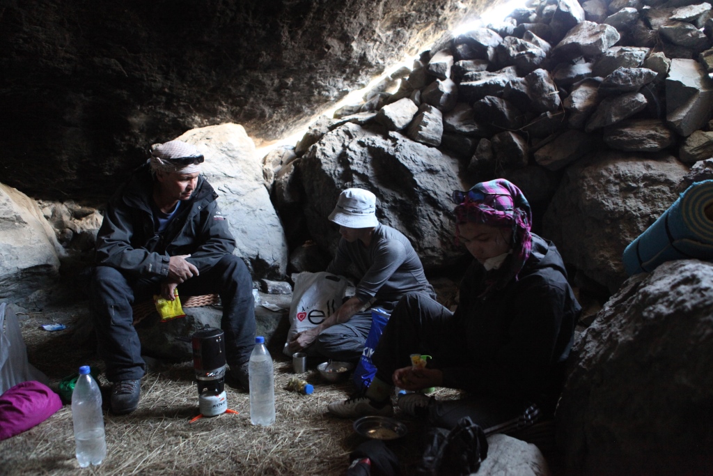
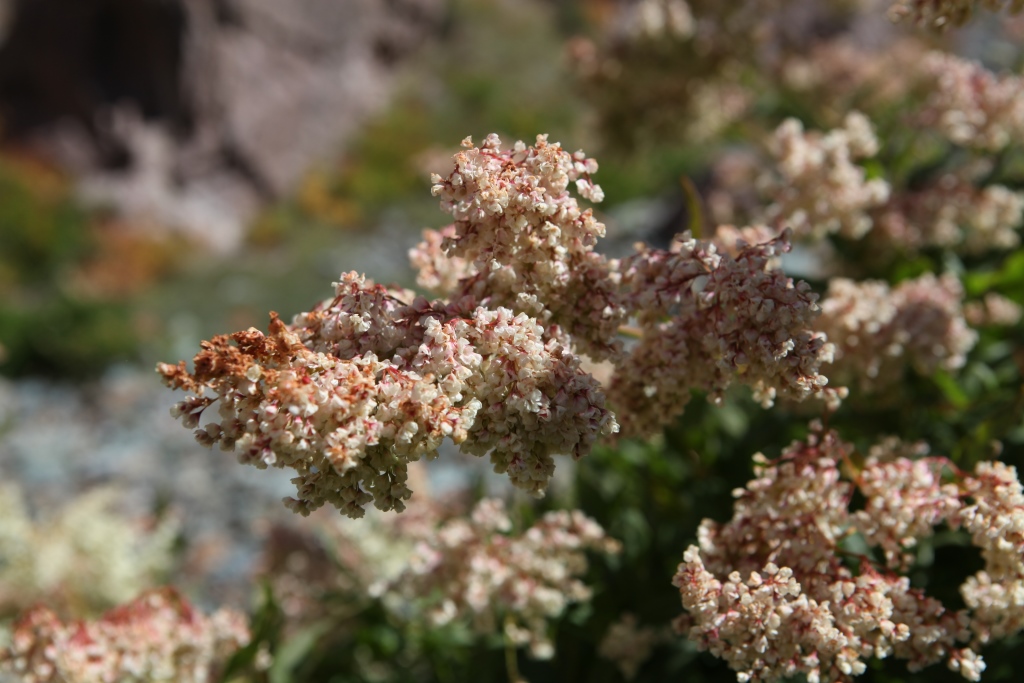
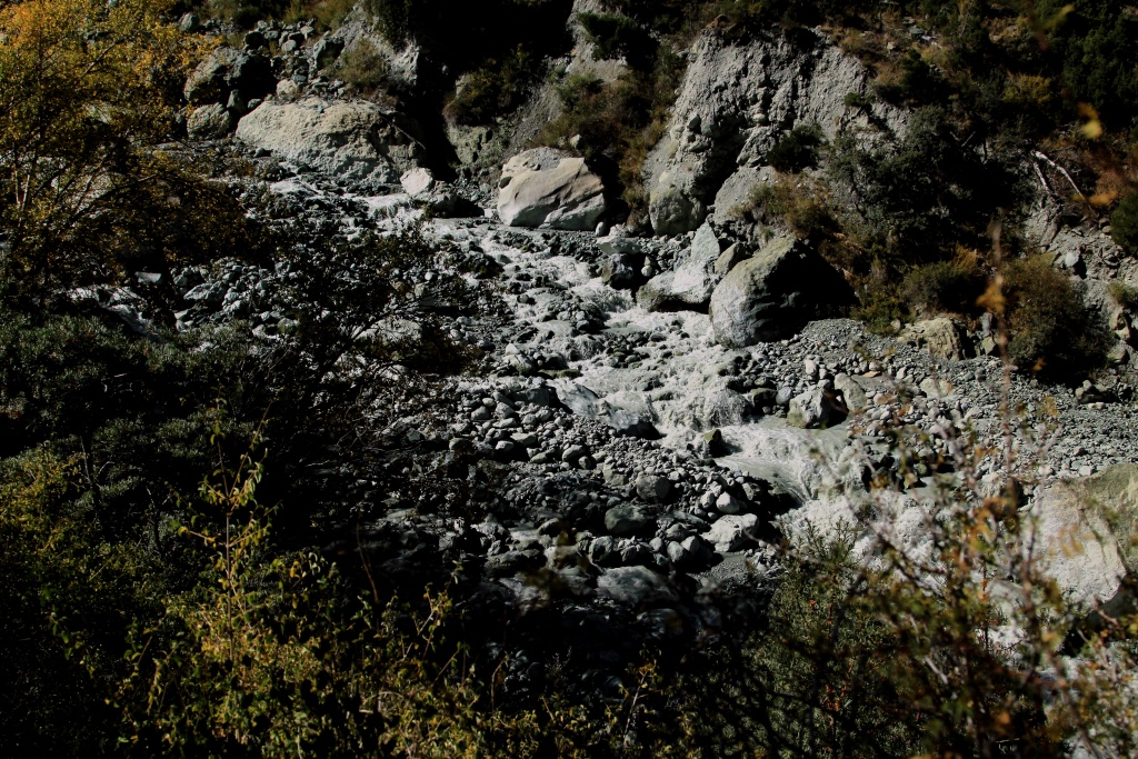
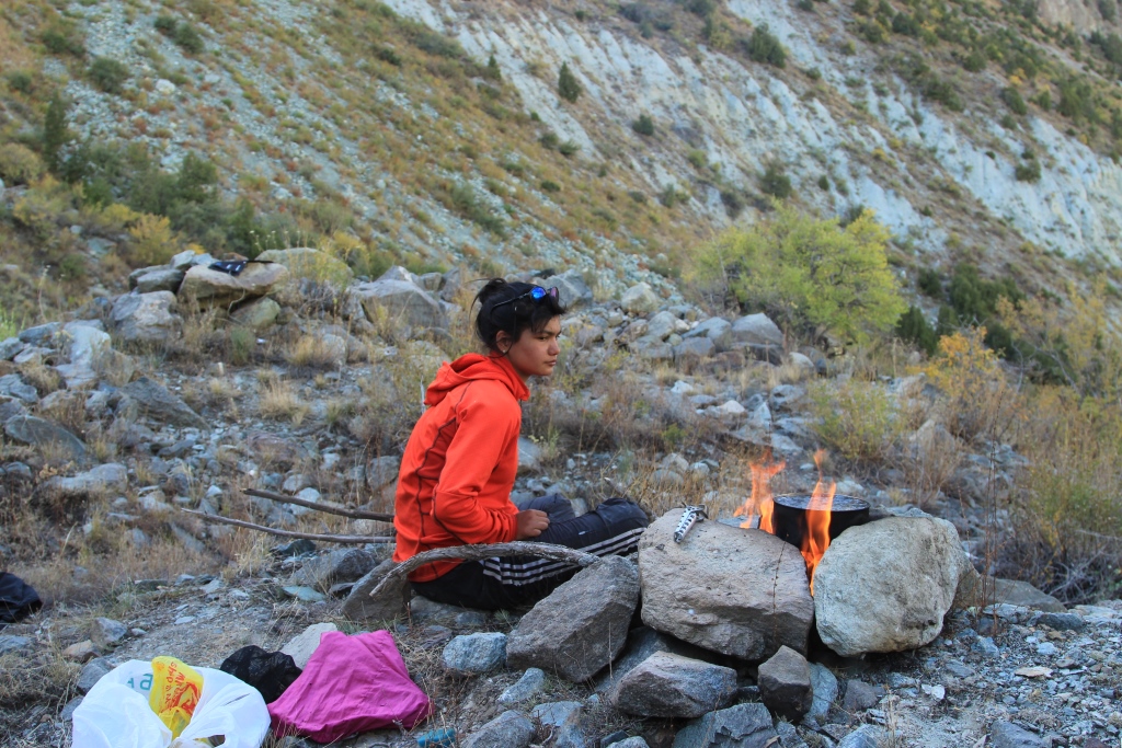
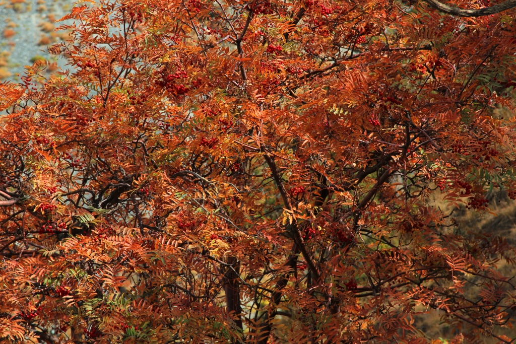
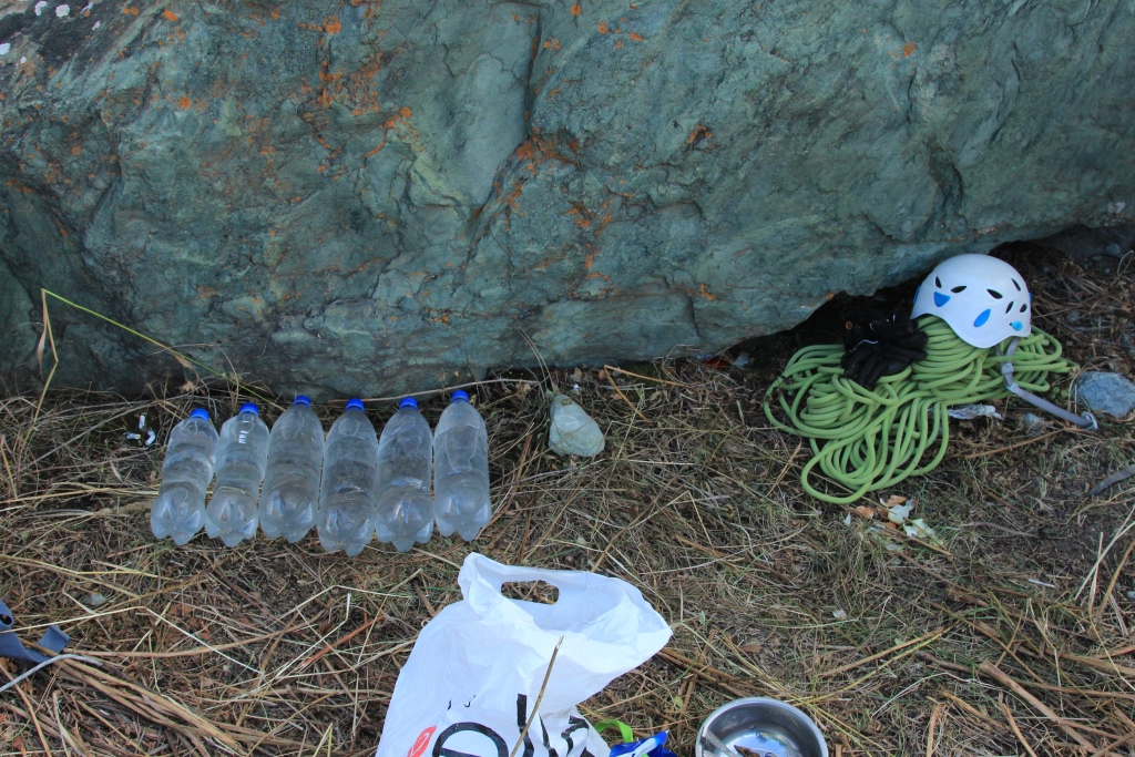
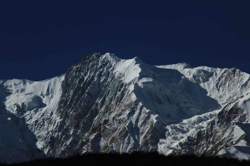
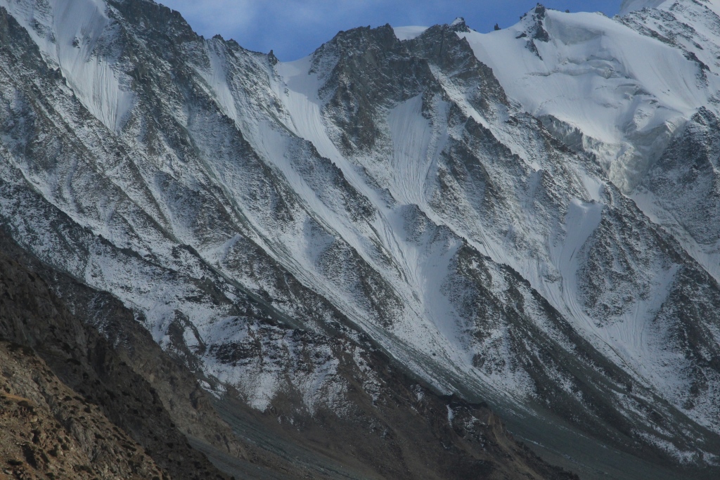
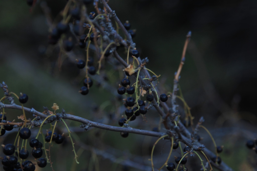
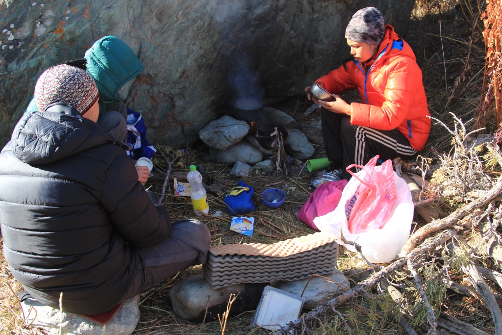
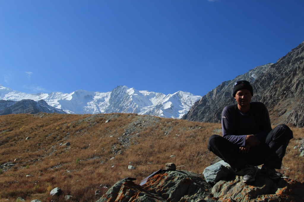
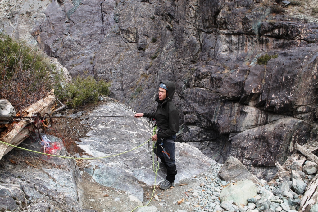
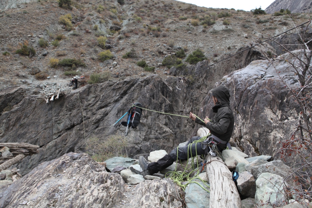
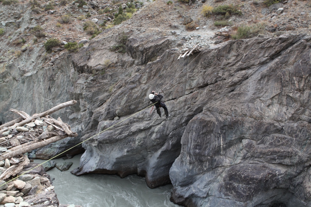
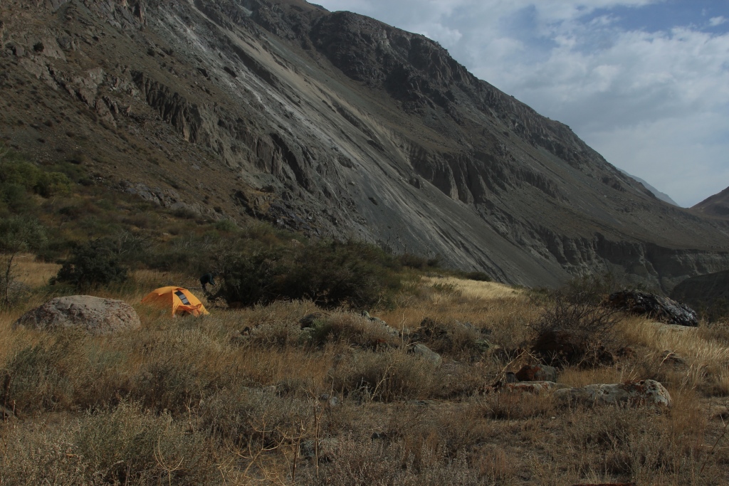
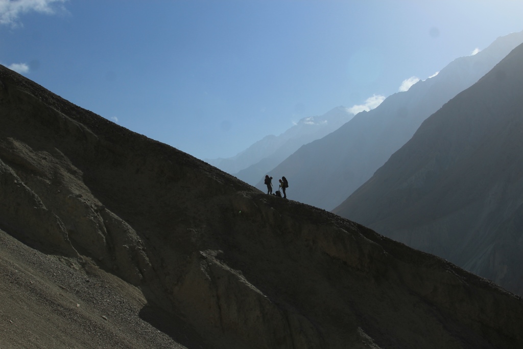
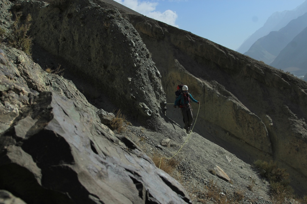
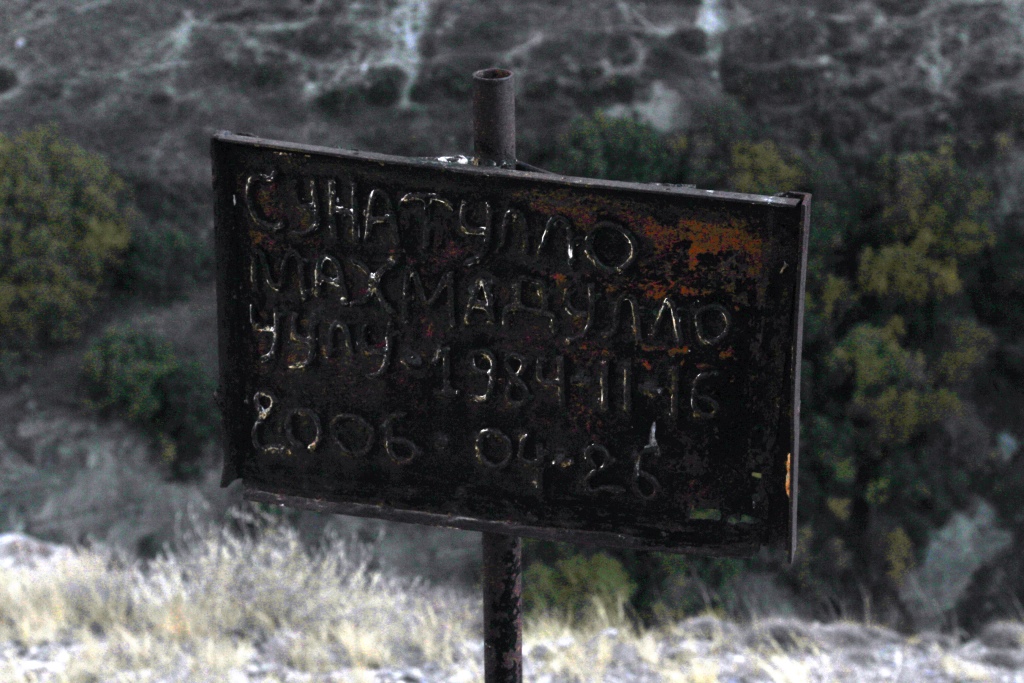
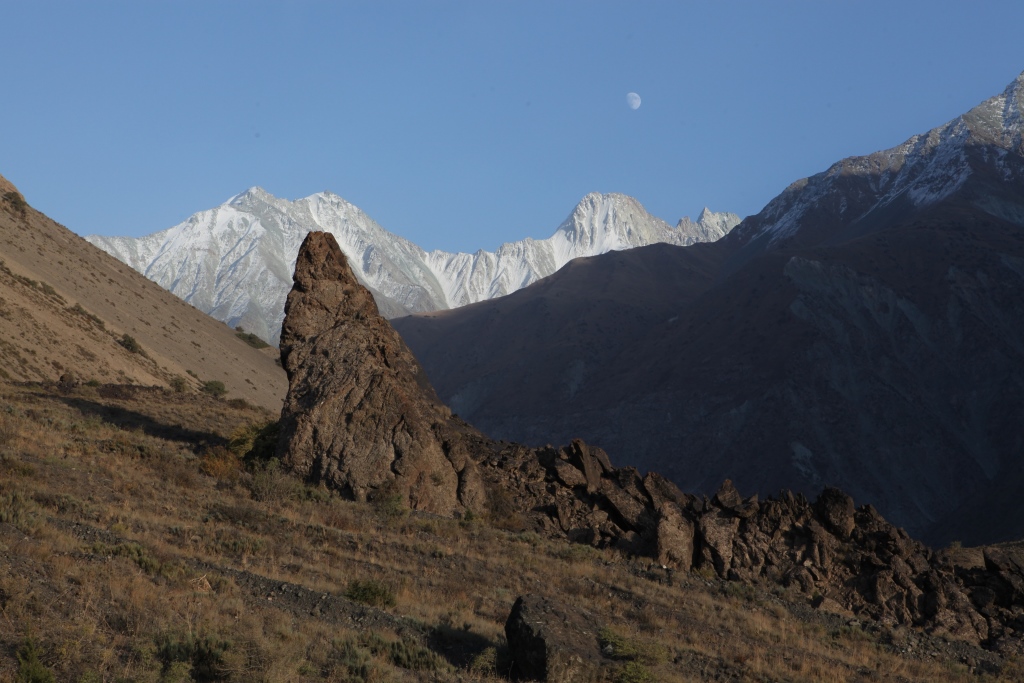
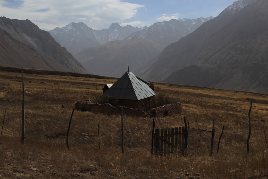
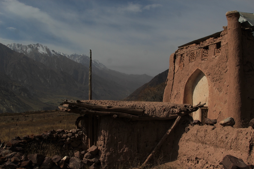
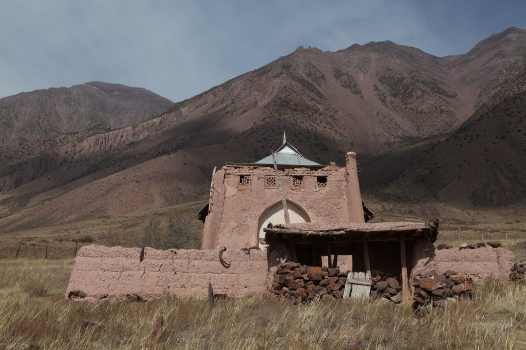
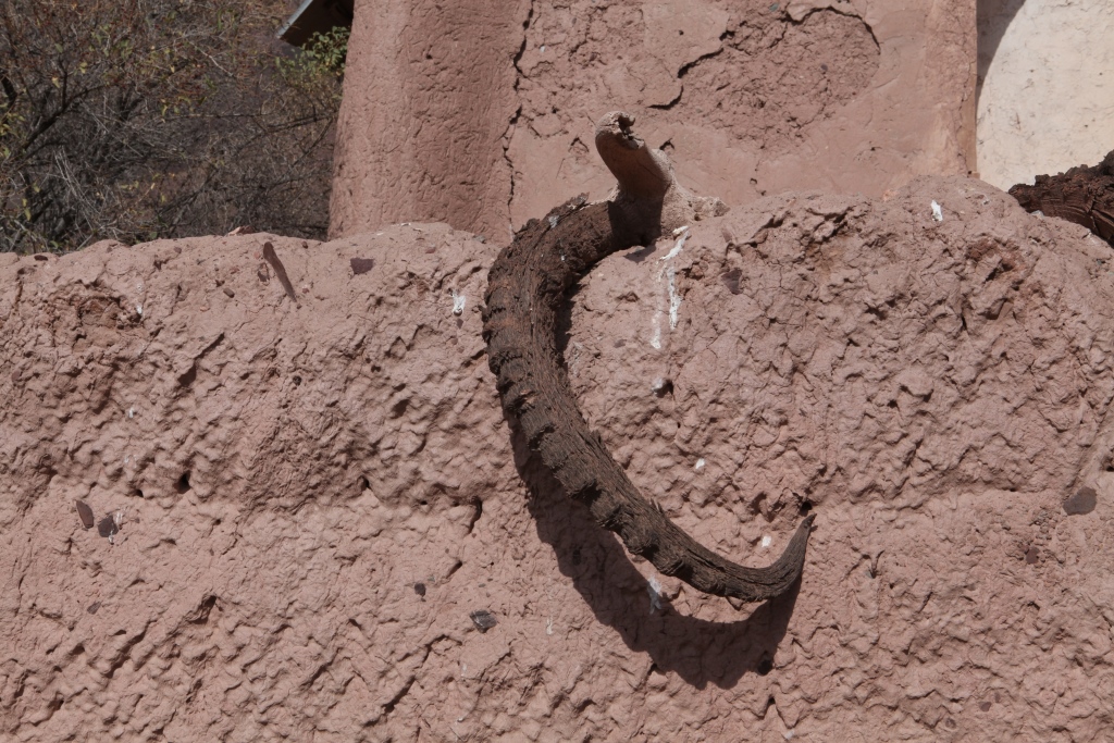
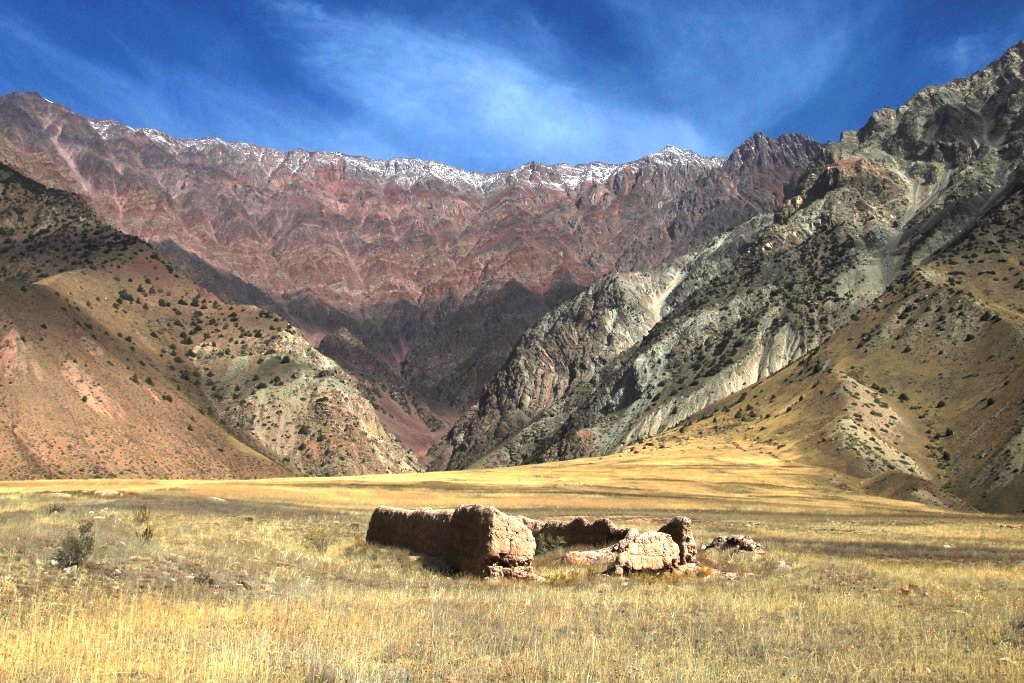
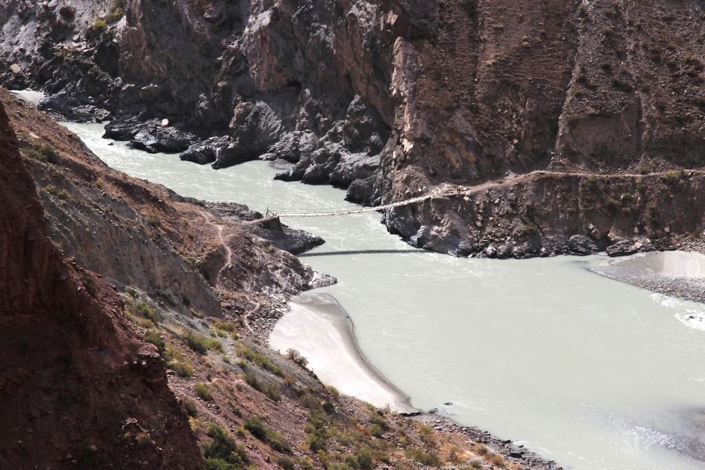
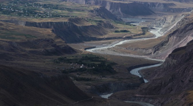
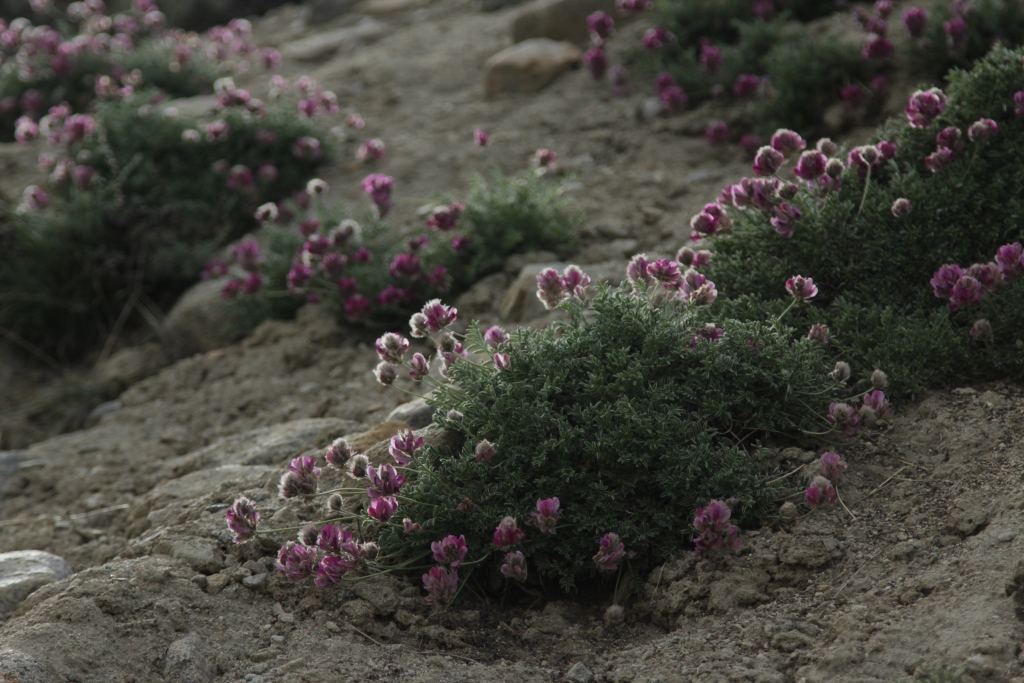
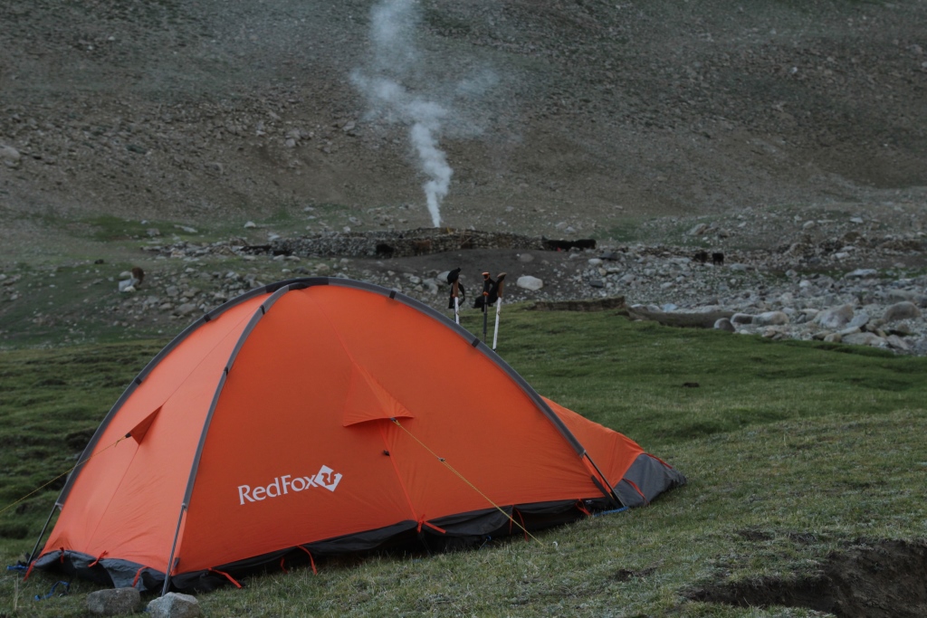
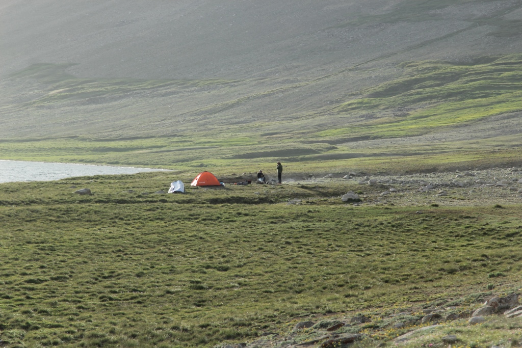
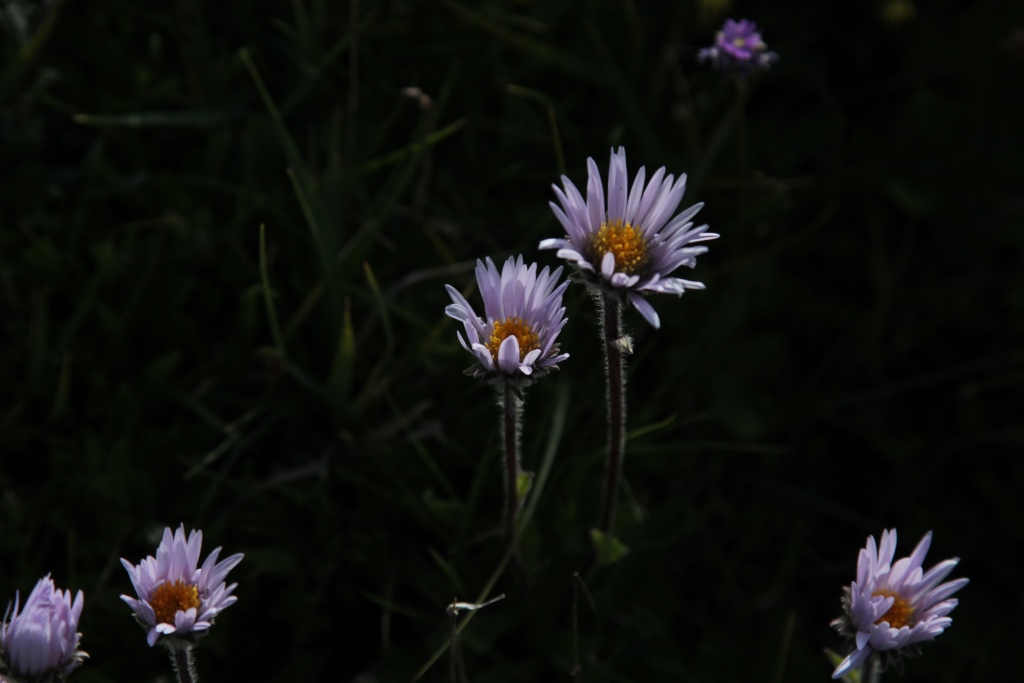
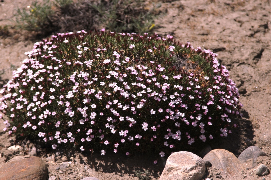
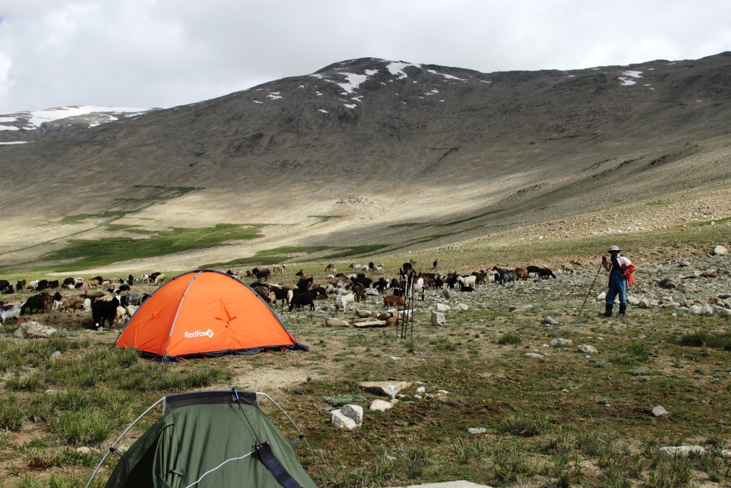
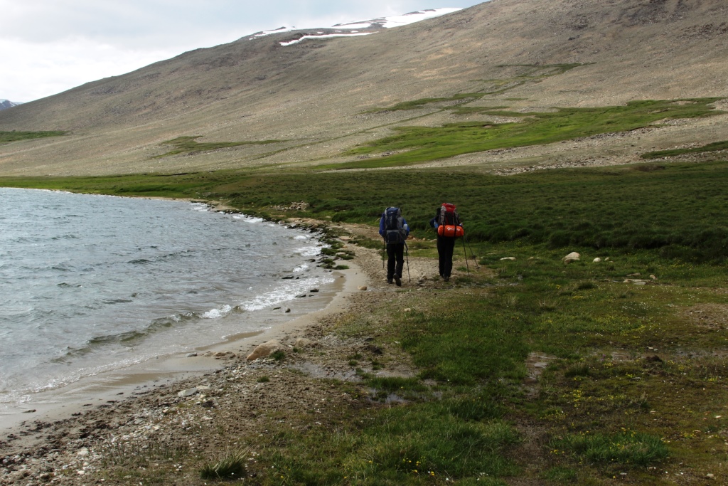
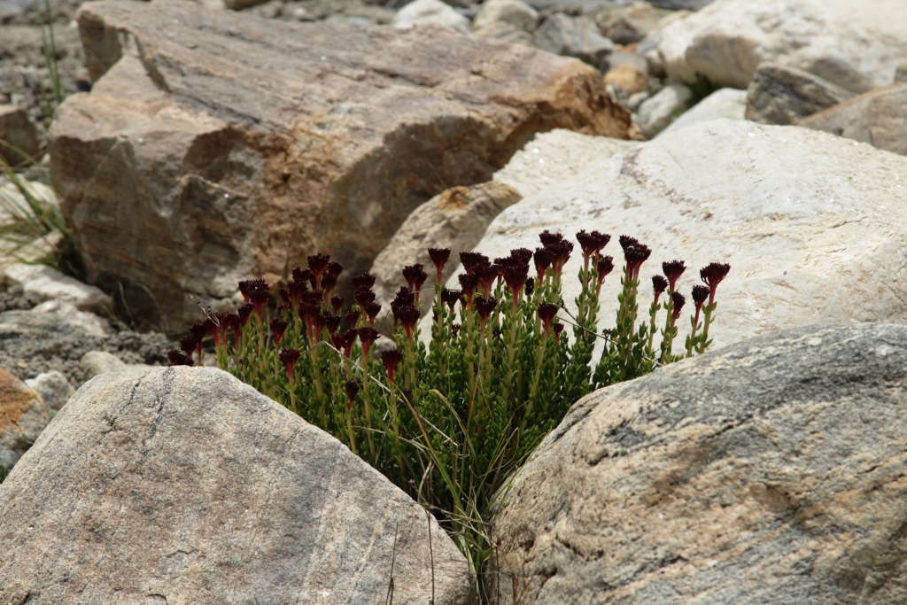
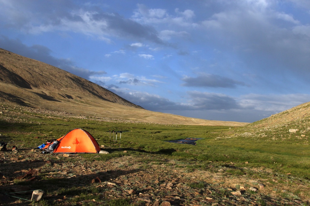
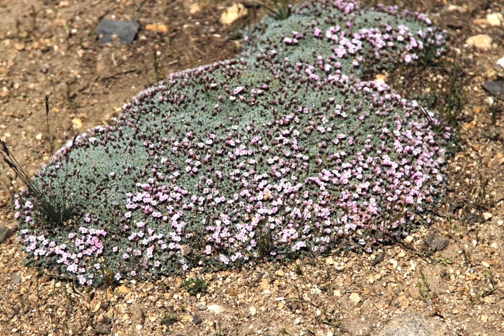
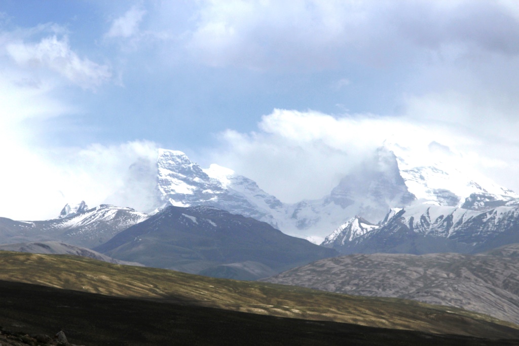
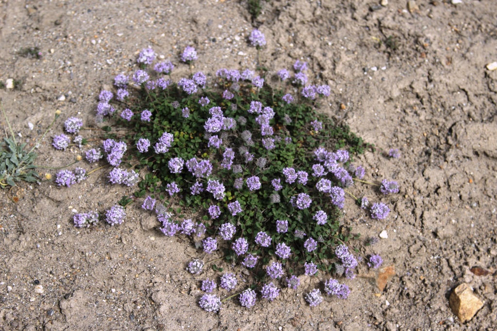
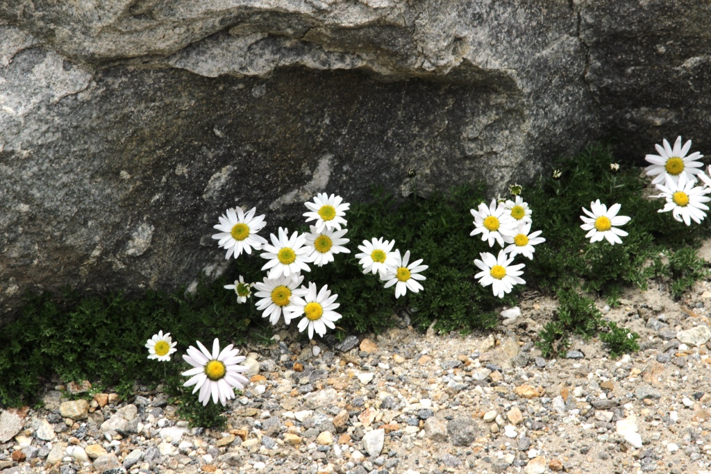
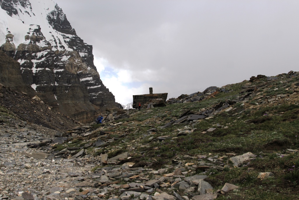
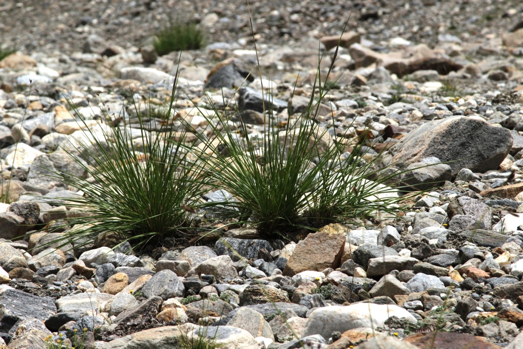
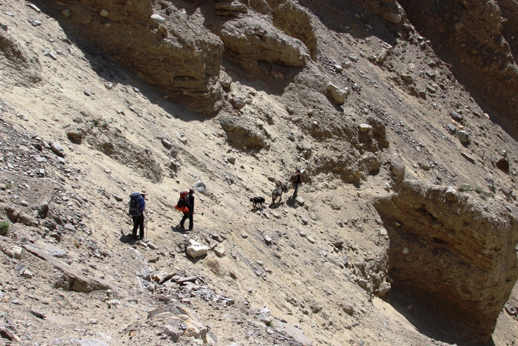
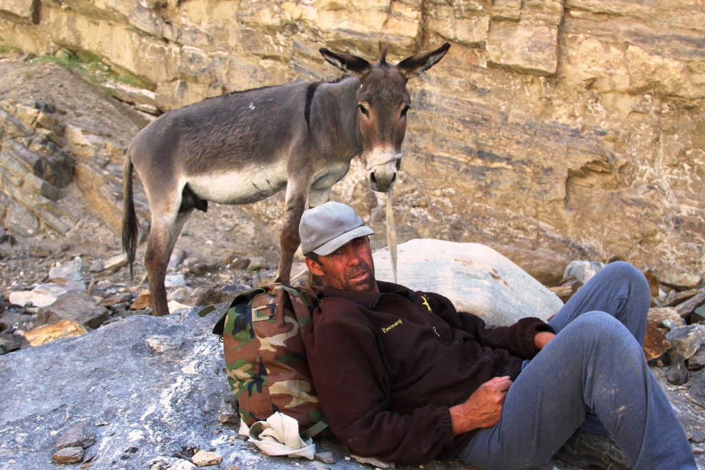
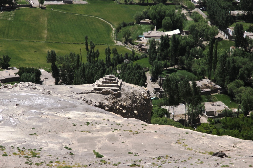
Ready for adventure!Soviet bus stopOur driver Maryam and her carNurek Hydroelectric ReservoirSurubodSurobodRoad M41Road M41Road M41AfganistanVali and Ikbolsho are the owner of the house in which we lived in the Pamirs.Pamir. Shugnan. The Village Mun.Pamir. Shugnan. The Village Mun.Pamir. Shugnan. The Village Mun.Pamir. Shugnan. The Village Mun.Pamir. Shugnan. The Village Mun.Pamir. Shugnan. The Village Mun.Pamir is mountains!Pamir girl.Wife, daughter and grandchildren of Mr. Ikbolsho.The Gorge Of Mundara.Pamir. Shugnan. The Village Mun.Pamir. Shugnan. The Village Mun.On the routePamirPamir. Shugnan. The Village Mun.Pamir. Shugnan. The Village Mun.Pamir. Shugnan. The Village Mun.Pamir. Shugnan. The Village Mun.Pamir. Shugnan. The Village Mun.It’s freezing. Rope, snowshoes. The climber is not frozen!EquipmentThe beginning of the pathValley of the Gunt river.Pamir. Shugnan. The Village Mun.History of snowfalls.Jamshed. Our guide in the village of Mun.On the routeValley of the Gunt river.Valley of the Gunt river.On the routeOn the routeThe Gorge Of MundaraOn the routeOn the routeOn the routeOn the routeOn the routeOn the routeOur mountain.Mr. Ikbolsho in his youth. Now he is 75 years old.Family history.Family history.Pamir. Shugnan. The Village Mun.Family friend.Goodbye Pamir!Go! Now it all depends on Maryam!Ice floats on the Pyanj river.Maryam and the M41 roadMaryam and the M41 roadMaryam and the M41 roadDarvozDarvozDarvozNo commentYol ValleySomewhere in Tajikistan.Mountain of salt.Khoja MuminFinish soon
Нашим друзьям связистам! Для нас это спорт, хобби, а для них это суровые трудовые будни!
22 января по заданию компании «Вавилон» наша команда выехала на Памир. 29 января мы вернулись домой. Ура!
Участники.
Водитель. Марьям Шарипова. Я специально поставил водителя первым в команде. Именно от её мастерства, смелости, выдержки и быстроты реакции зависела наша жизнь на каждом из 1500 километров, которые мы проехали за эту поездку.
Руководитель. Альпинист. Шарипов Анатолий. Чем руководил? Вообще поездкой и ещё надо было определить возможность доступа, зимой, на одну из станций связи.
Альпинист. Иноятов Вали. Надёжный, проверенный товарищ по связке.
Можно охарактеризовать процесс поездки и вообще путешествия на Памире зимой научным термином «стохастический» т.е. случайный, зависящий от многих случайных факторов: погоды, лавин, камнепадов, состояния дороги, от тех кто по этой дороге едет, уровня воды в Гунте и Пяндже, и много ещё от чего. Результат и впечатления тоже предсказать не возможно. Надо ехать, смотреть и ощущать всё лично. Наше мнение. Очень красиво и очень экстремально! Посмотрите фото.
К приключениям готовы.Остановка автобуса времён СССРНаша смелая шофёрка и её боевая машинаНурекское водохранилищеШуробадМ41ШуробадМ41Афганистан. Вид с дороги М41М41 ЛавинаКишлак Мун. Вали и Икболшо хозяин дома в котором мы жили на Памире.В Муне.В МунеВ МунеЛетом вода приходит самотёком, а зимой на осле.Это тоже ТаджикистанПрогулка по кишлаку МунПамир это горыПамирская девчёнкаЖена дочь и внуки ИкболшоУщелье МундараУтро. В кишлаке затопили печи.ПамирНачало подъёмаПамирКишлак МунКишлак МунВ кишлаке МунВ Шугнане мороз -30. Всё замёрзло и верёвка и снегоступы, только не ВалиджонСнарягаВ кишлакеШугнан, долина реки Гунт.Наши следы,начало подъёмаШугнанВ кишлакеИстория снегопадовДжамшед наш персональный опекун в МунеНачало подъёмаДолина реки ГунтДолина реки ГунтНа маршрутеНа маршрутеУщелье МундараНа маршрутеНа маршрутеНа маршрутеНа маршрутеНа маршрутеНа маршрутеНаша Гора!Наш хозяин Икболшо в молодости, сейчас ему 75!Икболшо учавствовал в съёмках фильма «Рустам и Сухроб» фото на память.История семьи.В Муне«Друг семьи»До свидания Памир!Поехали! Теперь вся надежда на МарьямЛёд плывёт по Пянджу.Марьям и М41Романтика!В Дарвазе.В ДарвазеВ ДарвазеВ ДарвазеNo comentДолина Йол«Где то» в Таджикистане!Гора Ходжа Мумин.Финиш уже близко!
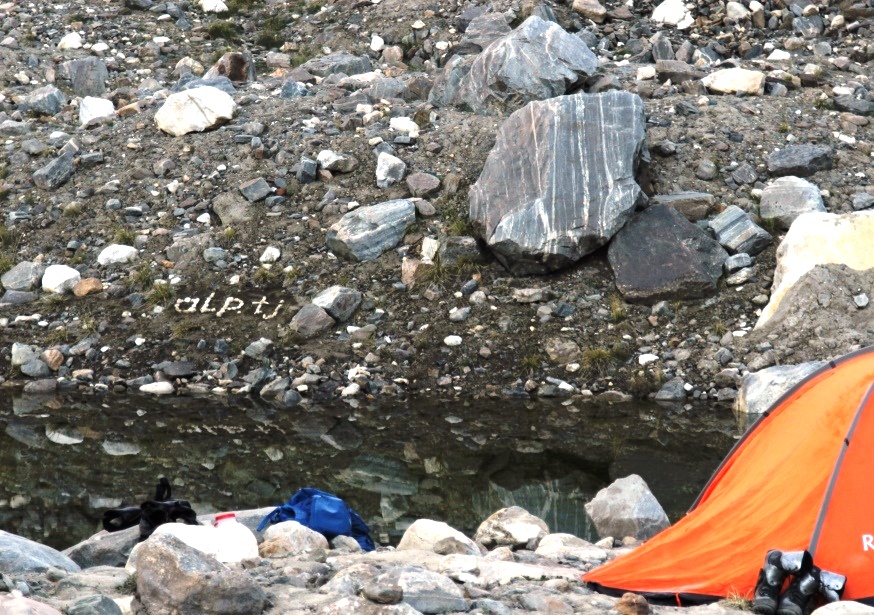
International Mountaineering Expedition.Wakhan -alp.tj 2019.
Time of July-September 2019.
Venue Ishkashim district of GBAO. South-Western Pamir, Shahdara Range.
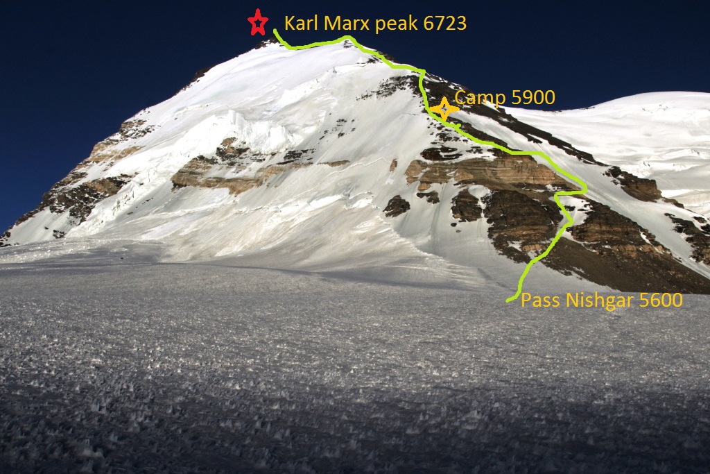
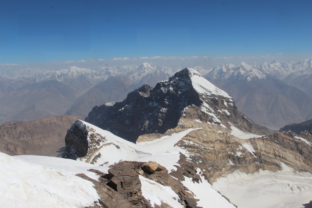
Tasks. Climbing the peaks of the Shakhdara Range. The peaks of Karl Marx 6723 m, Engels 6510 m, Mayakovsky 6096 m. All ascents are planned to start from the Wakhan Valley.
The participants. We invite Tajik and foreign climbers to participate.
For more information and participation in the expedition, please write to our address: turakademia@gmail.com
10.08.2018. Team climbers Club «AGBA» in the composition of the
Anatoly Sharipov head of the ascent.
Simon Krylov.Climber.
Vali Inoyatov Climber.
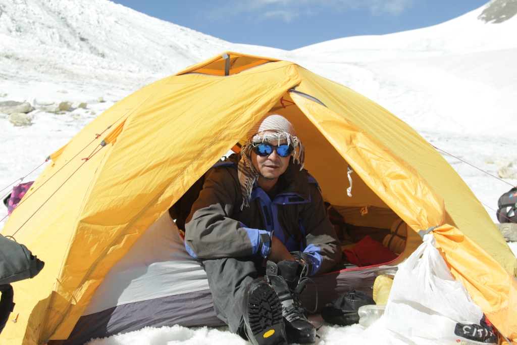
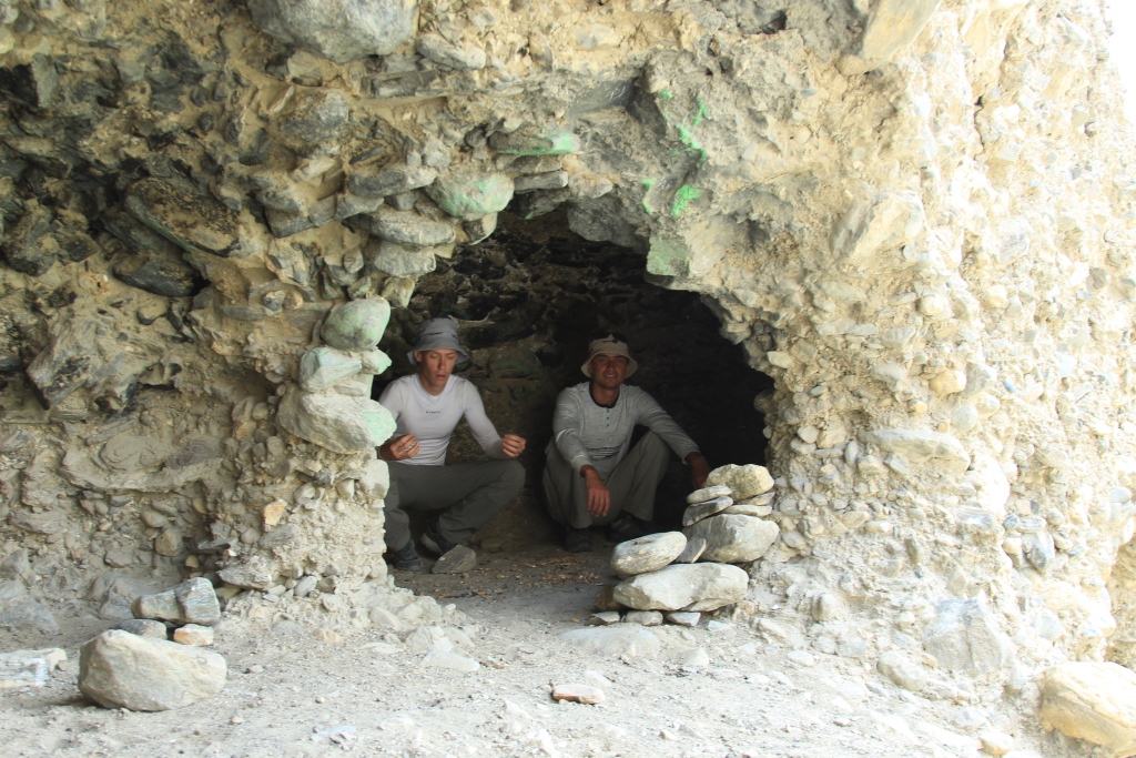
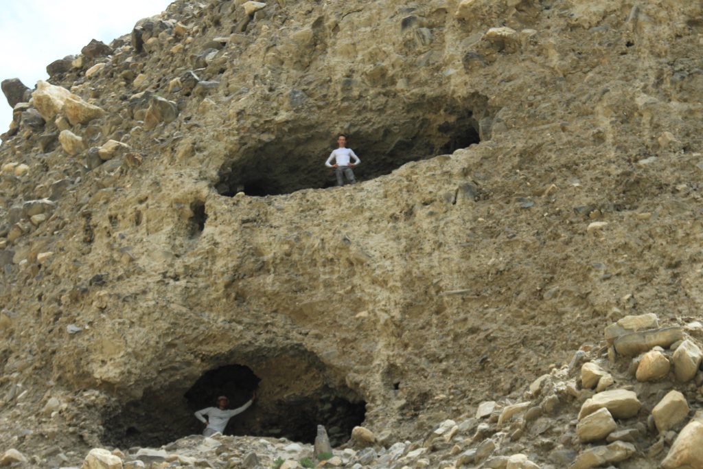
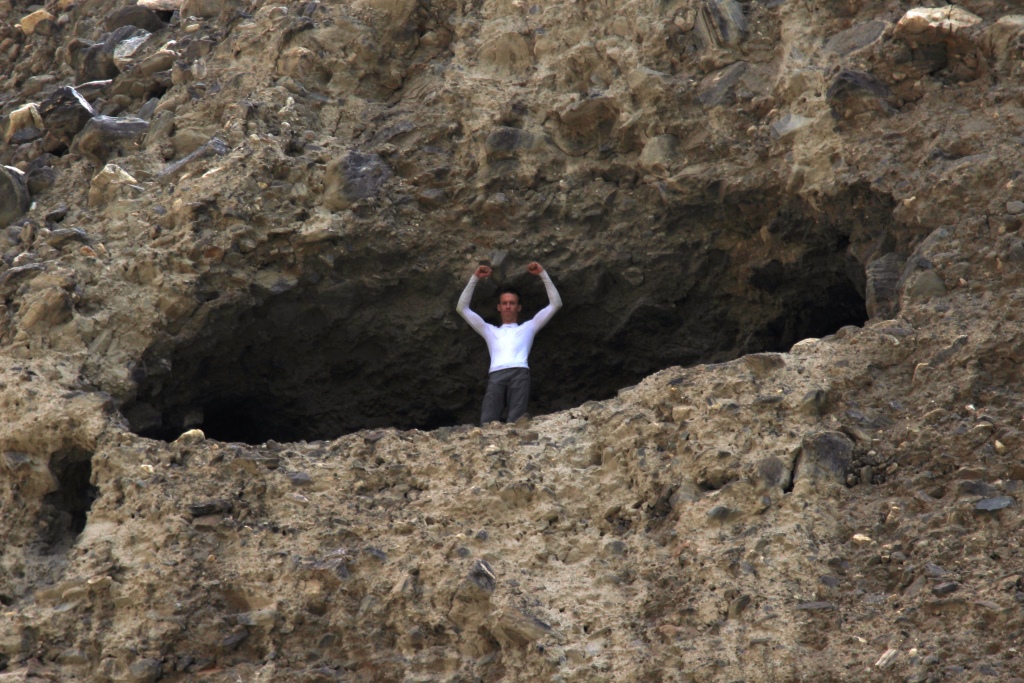
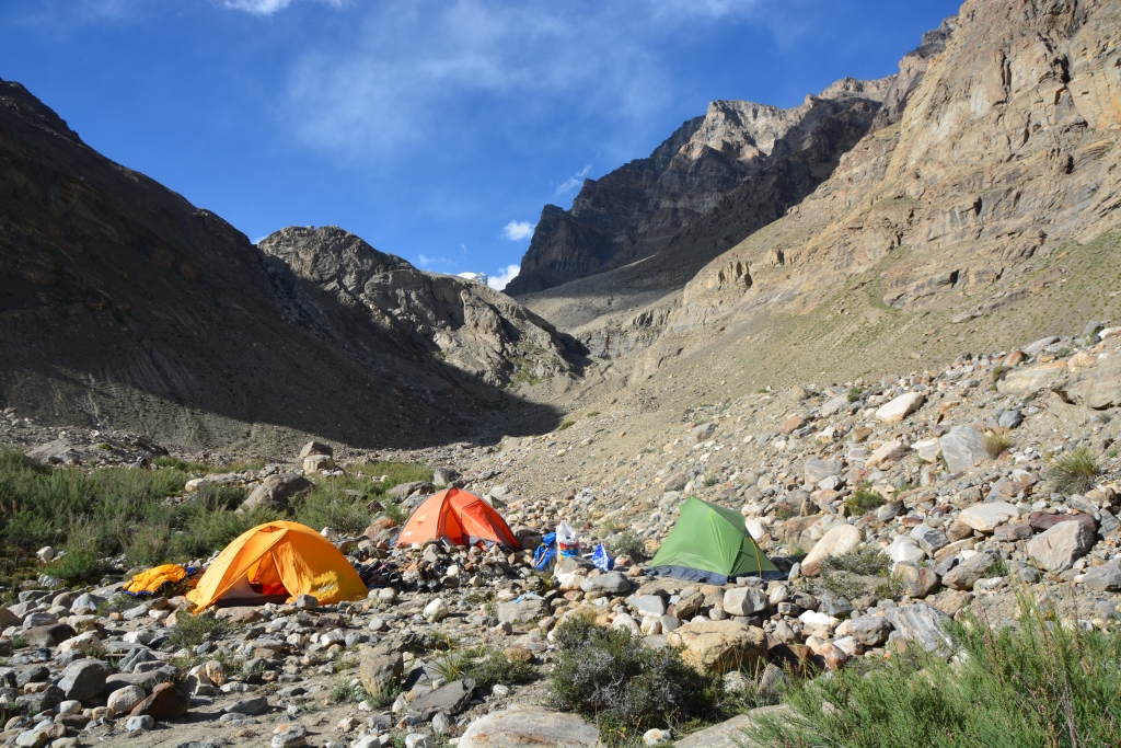
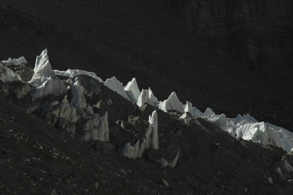
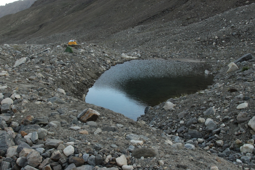
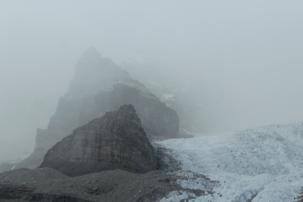
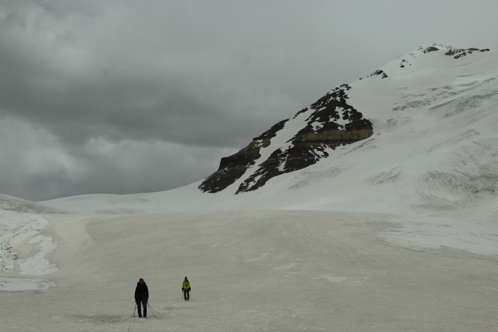
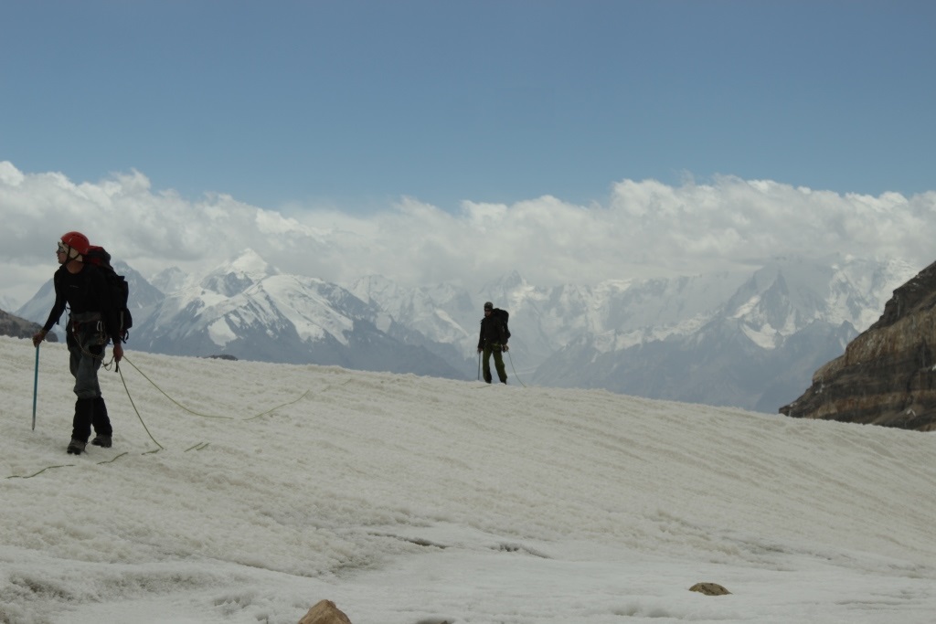
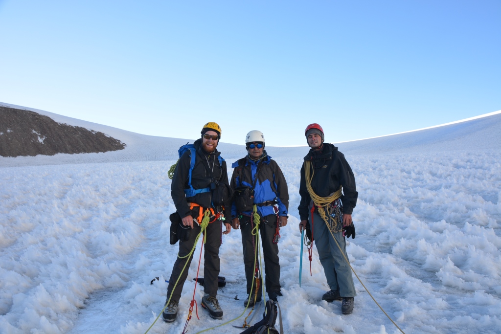
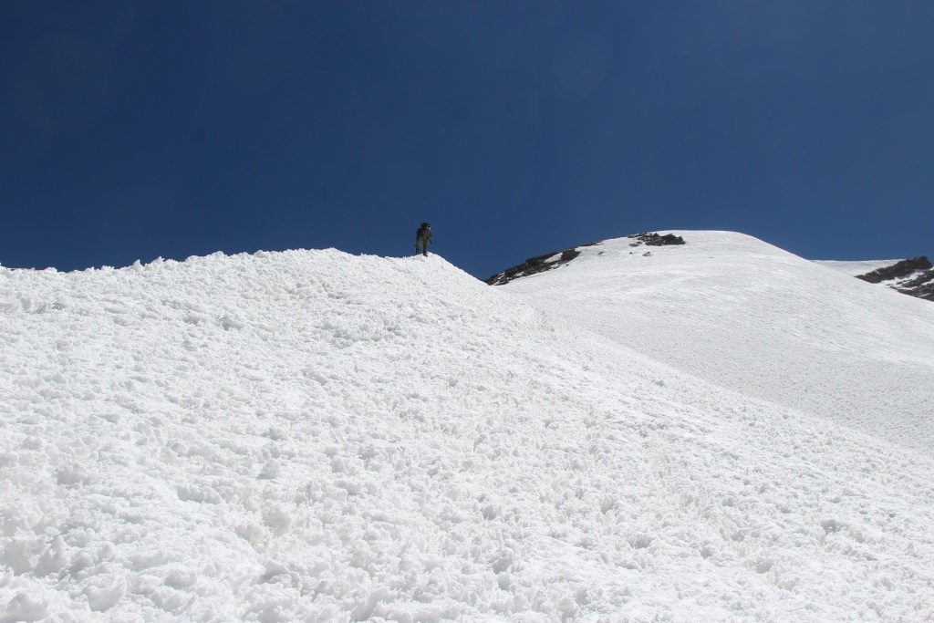
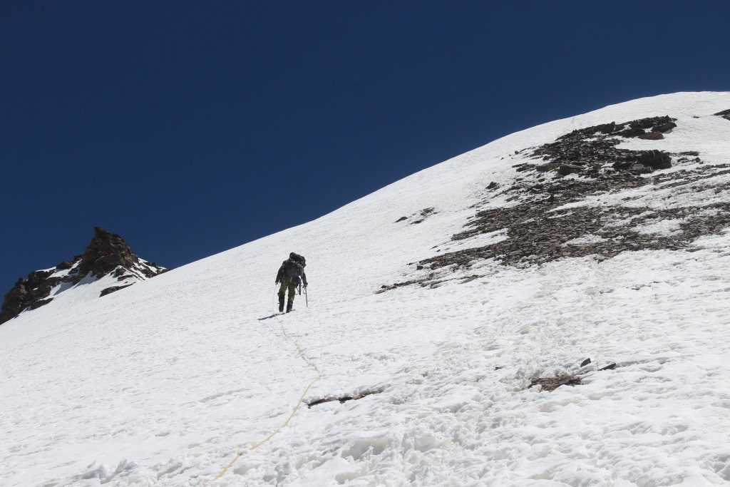
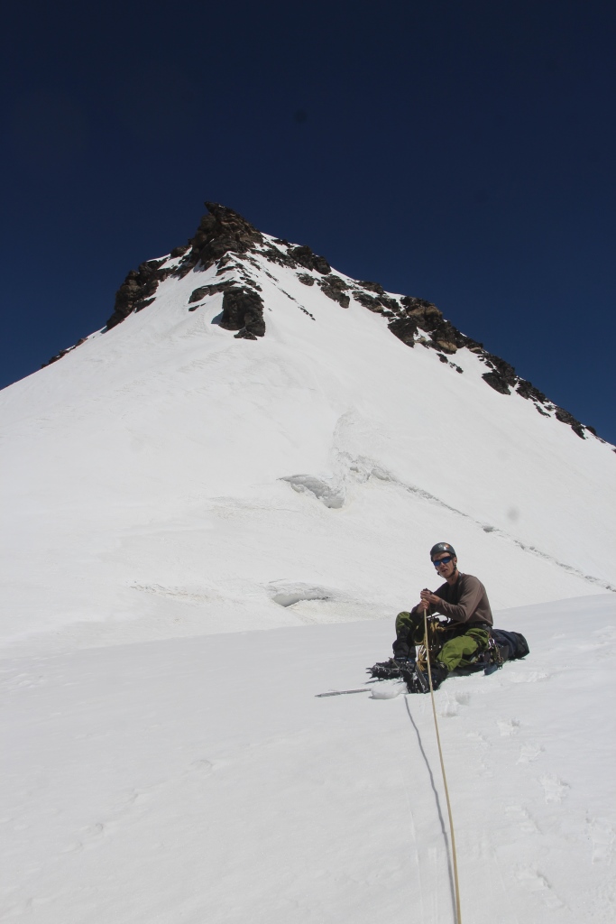
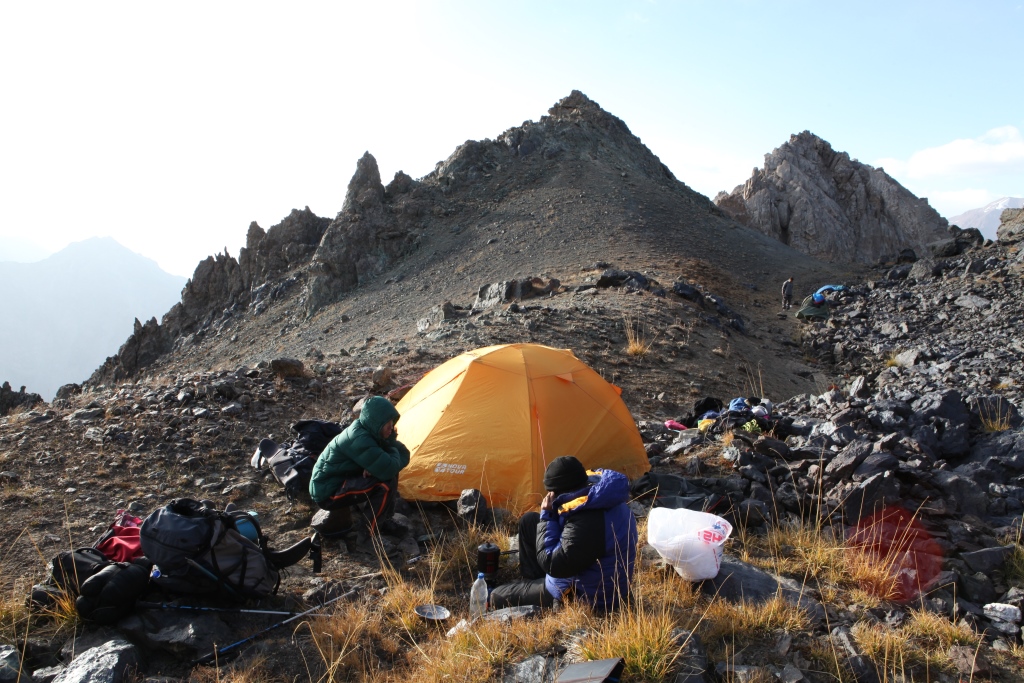
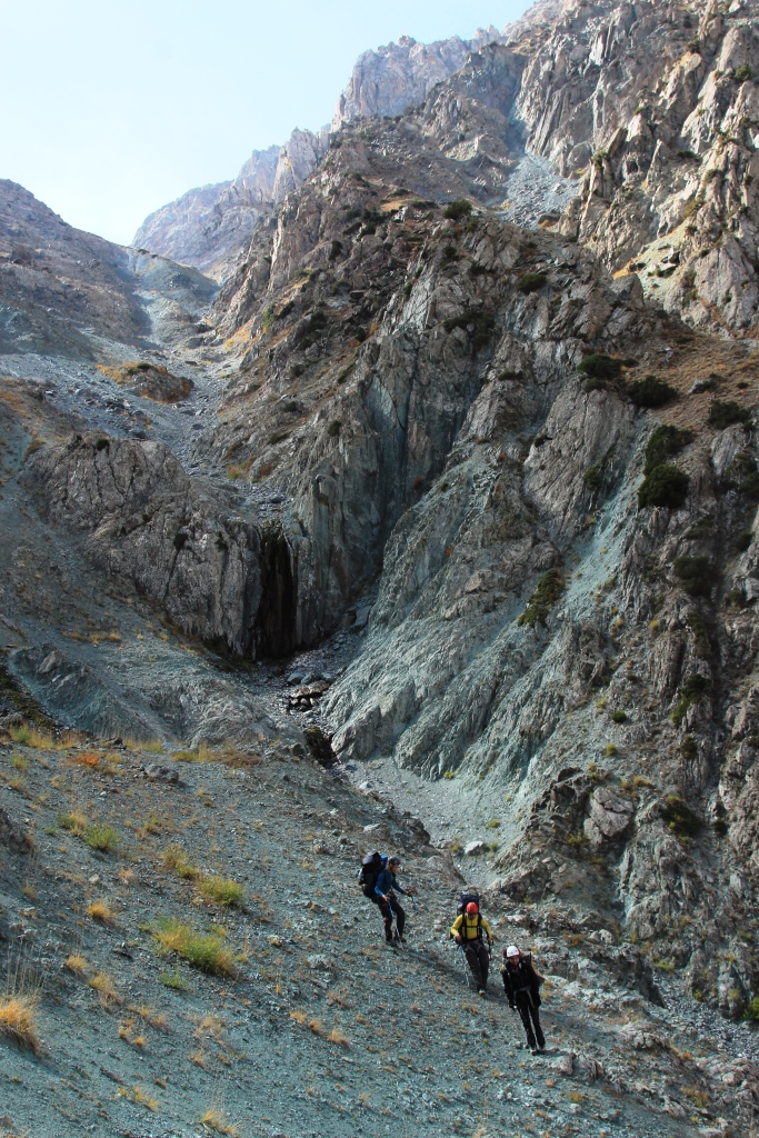
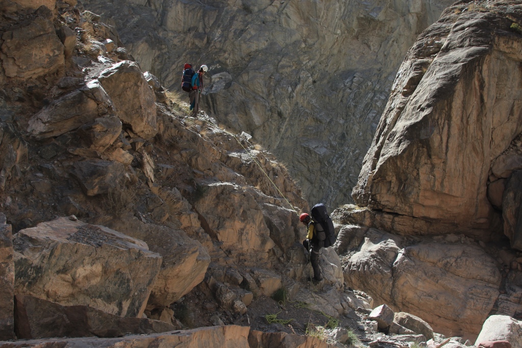
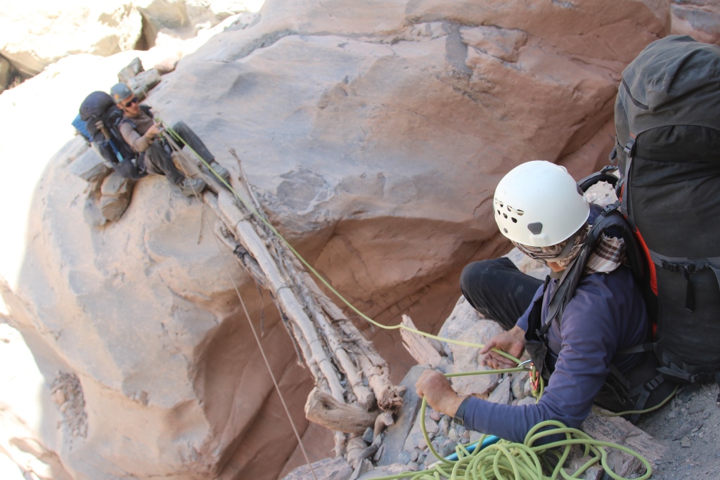
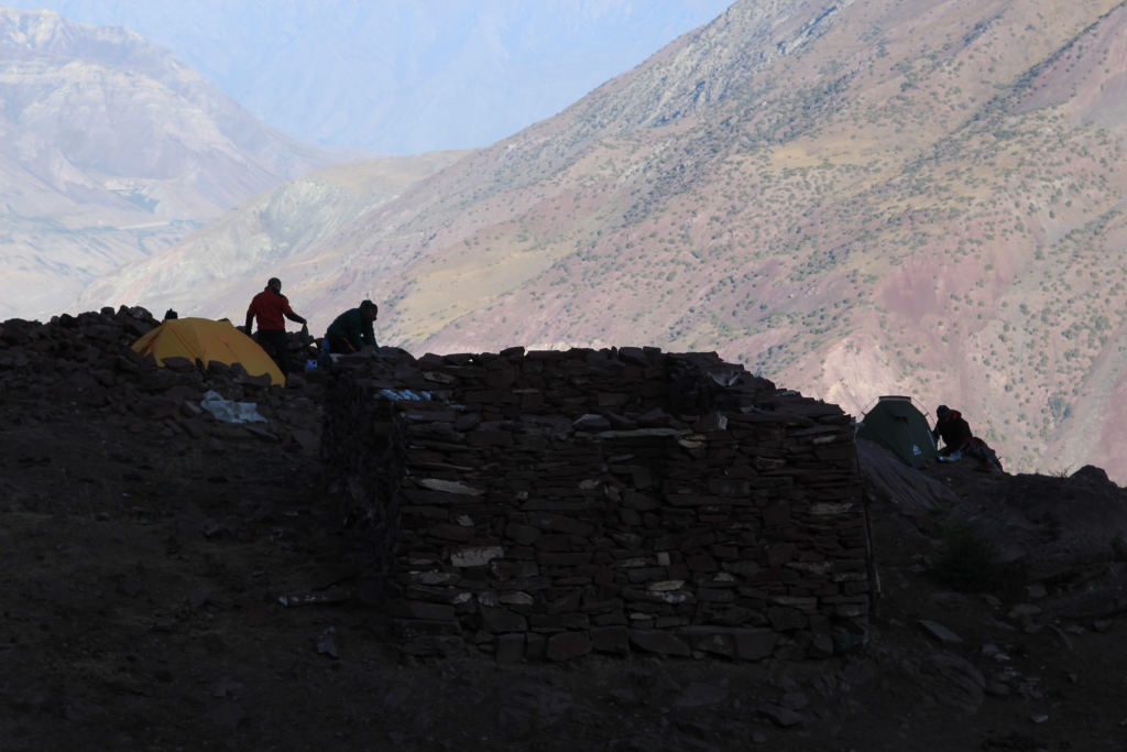
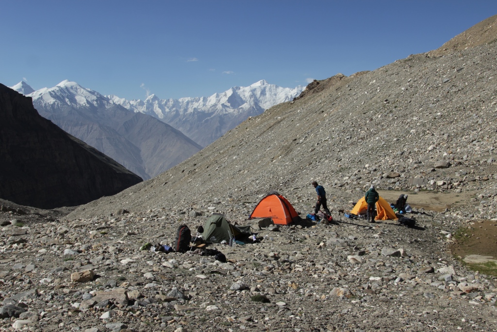
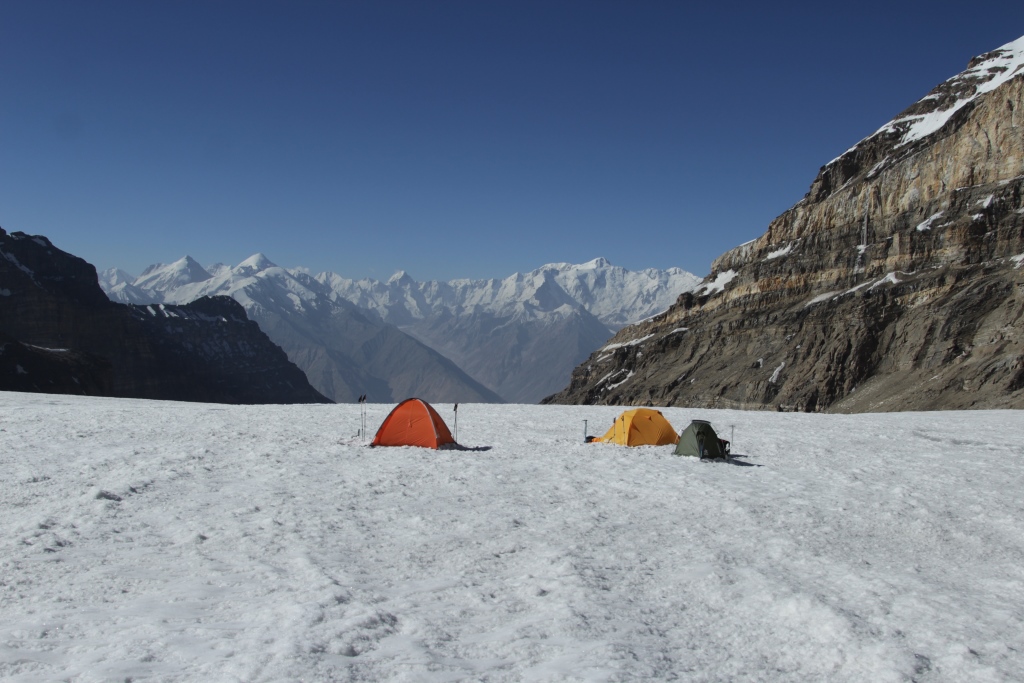
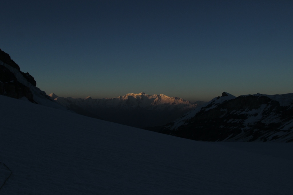
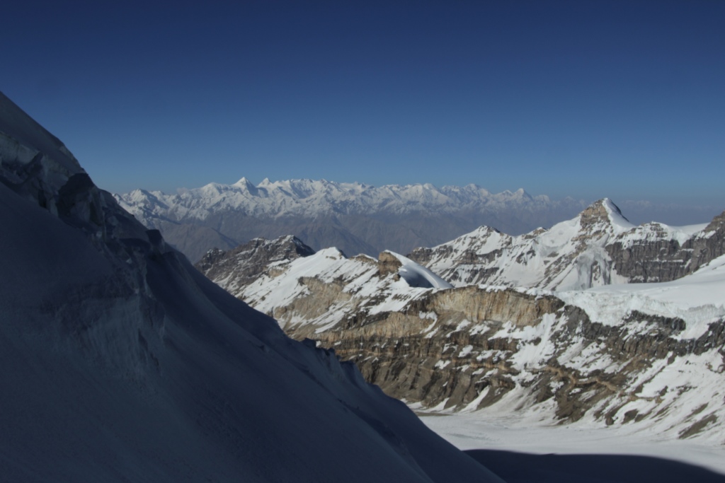
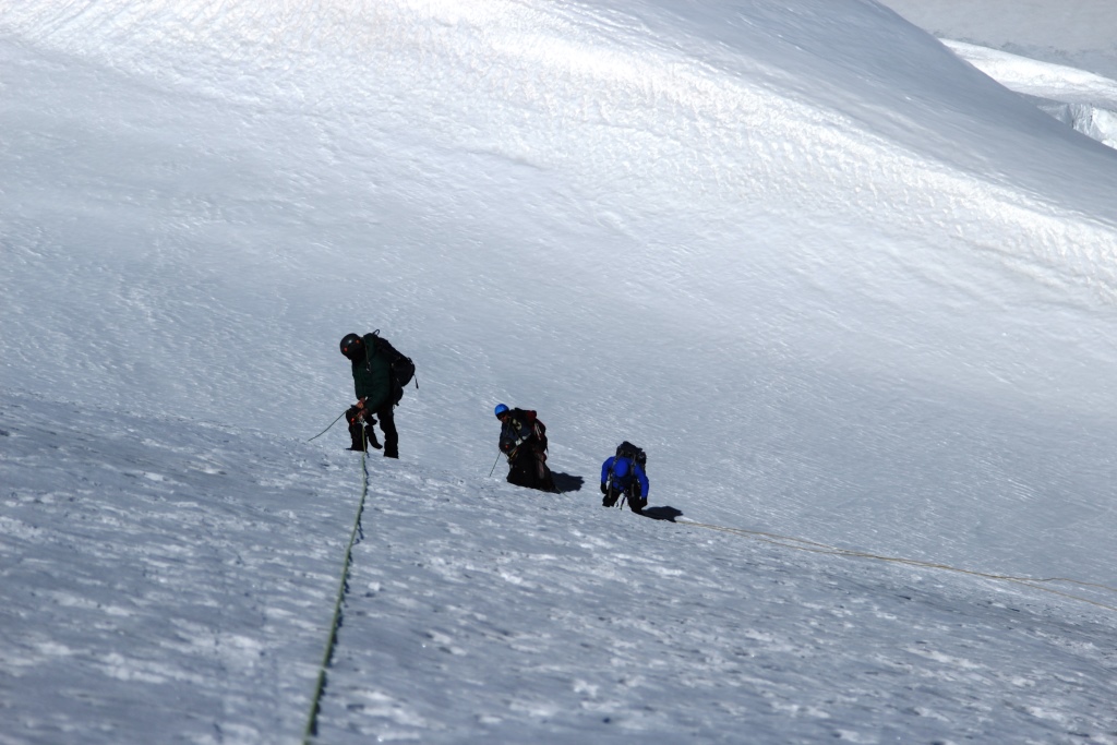
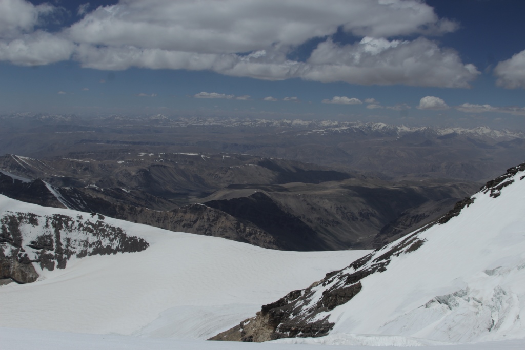
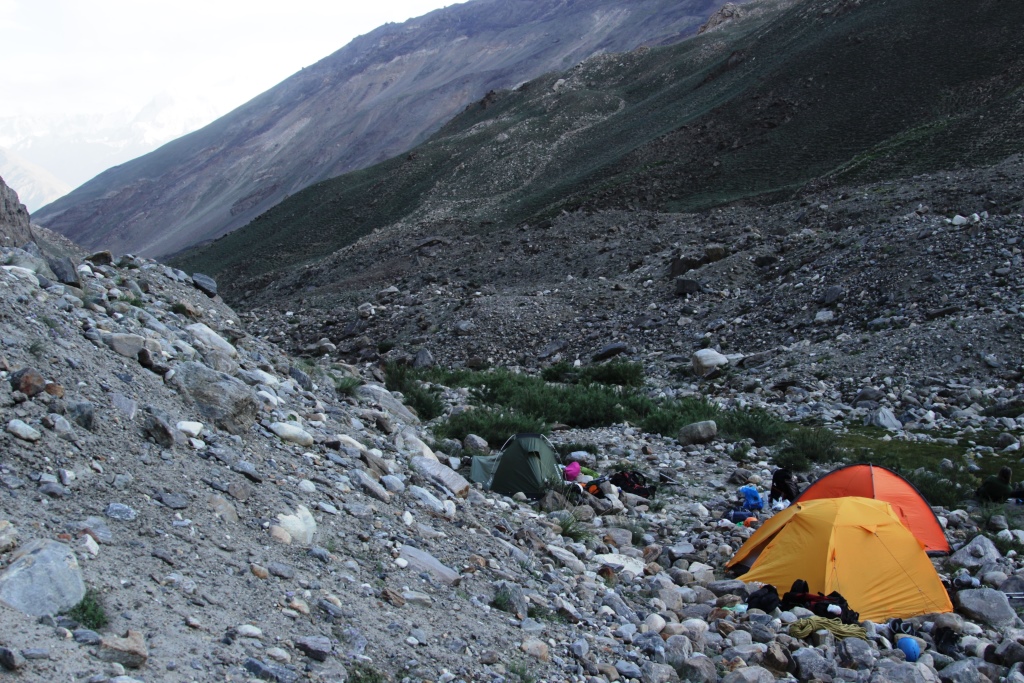
Robert John Climber. Made the ascent to the mountain «PIK Karl Marx» (6700) on the West ridge (route of Ntmscverize) 4B grade of difficulty . Adventures in the Pamirs are always diverse, and mountaineering, of course, is the basis of our expeditions, but he can not always argue with the power of random impressions and circumstances. It all started very difficult. After all, or after the main adventure, a trip along the Pamir highway, 800 km, 32 hours on the road(car breakdowns, posts, unplanned stops) we arrived in Wrang (Ishkashim district of GBAO).Wrang is a very beautiful place, inhabited by nice people. We have a lot of friends there, and there are always people who sincerely want to help. But this people, and here is animals. In one word, when are we all prepared to leave and were ready to go to the mountains, we escaped from the donkey. We ourselves were not ready to carry the entire load to camp 3800 had to delay the start by one day. We decided to explore the Buddhist temple and the surrounding area.We are of course not for the first time. Therefore, not limited to surface inspection. Decided to explore the home of monks of the monastery from the inside. About the construction of the dwellings themselves. To dig such a cave is not difficult. Rock conglomerate, medium-sized boulders in Sandstone. Vykovyrivat easy, you need some type of tool, and let’s pick a hut, can be folded and the outer wall of the removed stones. Throw the surplus down. You can build, but how to live? This I do not know. Mountains without forests, on the banks of the river so shrubs, no firewood, and the winter is not warm. Ah, perhaps, on the they and the monks to tolerate.It’s okay, we had time. And the donkey can be understood, to have fun with friends in the neighboring village or to drag bauls uphill, and what would you choose? It would not be nice to climb monks in the monastery and to swim in the border river, but we had to start. With a delay of one day we went to the first camp 3800. Camp 3800 is located in a very beautiful place, bushes green lawns, only the roar from the waterfalls and glacial streams, which you hear constantly, reminds you that you are already in the highlands. Acclimatization began here.Acclimatization is a serious thing, it is important not to overestimate your strength. We used a tactic called «saw teeth». The meaning of this tactic is that, organizing another high-altitude camp, the first time we go up there only to visit, bring food, equipment, fuel, but do not spend the night, go down to spend the night in the previous camp. This tactic always gives a good result, we almost » ill » once in the camp 5300, and then everything was without problems and in the camp 5900(assault), and above on the mountain we felt quite tolerable. So, we gradually organized four camps on the mountain. 1-3800, 2-4300, 3-5300, 4-5900.Camp 3800Camp 4300
Route itself. We are not the first time on this mountain, so we had the experience and the opportunity to make an analysis and choose the right path.
What’s ‘correct’? The book » school of mountaineering «has a Chapter called»the Beauty and logic of the climbing route.» In this Chapter, much of the focus is on ridge routes, and what it says is, » on the crest, there is little chance of going astray: the General and detailed orientation is relatively simple. There are unlikely to rock falls and avalanches, snow cornices are clearly visible, therefore, less opportunity to get into a dangerous situation. Paths along the ridges have the least steepness, technical difficulties on them are minimal for this mountain. To climb the ridge is interesting — a good overview, the world opens widely, terrain and work on it a variety. Ridge routes attract climbers with a combination of logic, optimality and beauty». Here we chose the route of «Nemsveridze» pass Nishar on the West ridge 4B grade of difficulty. In General, many routes have been laid on this Mountain, mainly along the Northern wall, complex sports lines, all of them were laid during the Soviet times and exhibited at the Union Championships ( a separate topic).
Camp 5300
????????????????????????????????????
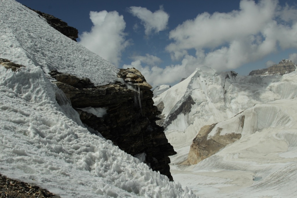
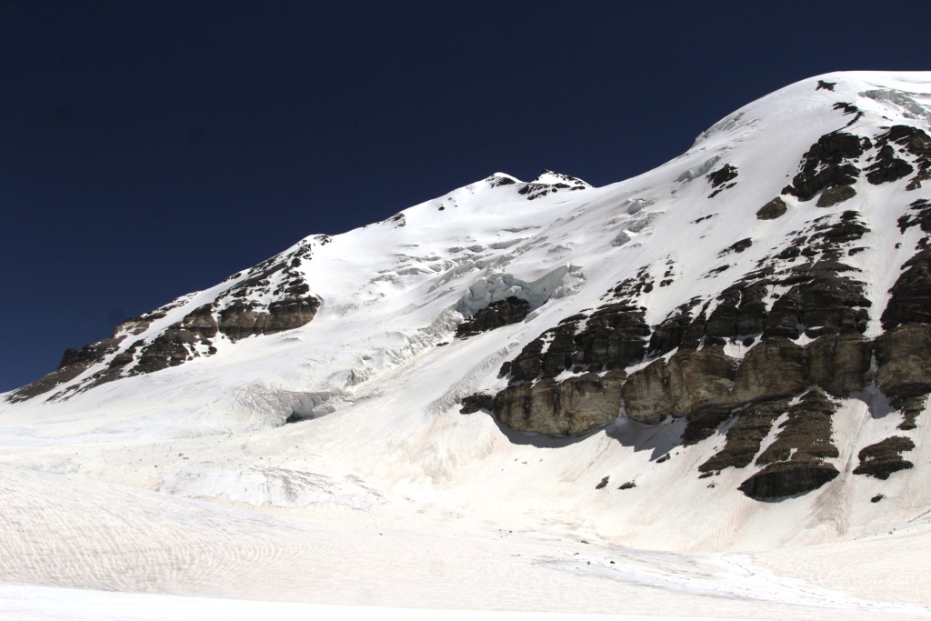
But I want to stay on one «route» on the South –Western slope. This route is often used recently, which is a sin to conceal and we were last year there jerked, well enough mind to turn back. With all the super, simple way. But head over to the long snow slopes with them sticking out of the seracs ready to shoot at any moment the ice collapse or just an avalanche, which is not even audible, a large number of cracks, in the afternoon, the whole soft slope on the sun and becomes even more dangerous. This route still will show themselves (well, if not corpses).
Let’s return to our route. The beginning of the ice wall of about 40 meters and then traverse another ice wall of 60 meters and then traverse again and 5900 camp, after camp road on the ridge, a couple of difficult ice knives, bypass the gendarme and the outlet to the top of the summit tower, a small 35-40 meters bypassing the tower on the right on the shelf and coming out on top. For insurance used ice screws (mostly did eyelets on the descent). Along the ridge there are often traces of those who’ve been here before, sites for tents and other small items.
One finding struck us with its tragedy. Torn tent «Pamirka» tin can with carefully Packed cigarettes and Primus «bumblebee» which has a release date of 1979. It looks like someone’s gone one way. Perhaps, who knows, what’s the matter? I would be grateful for the information.
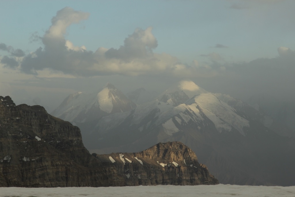
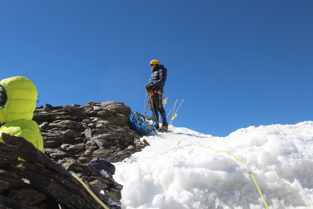
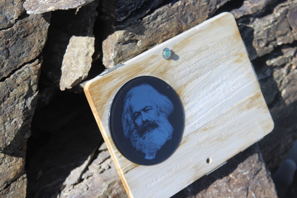
Top. The top is the place where all the paths lead only down. A bronze bust of Marx made in ‘ 69. A plaque with a quote calling to change the world. Five flags on bamboo sticks left by the Iranian expedition were found on the top. Also a package of chocolates with a sticker of the Polish club(www.skpb.lodz.pl ), they came up here in 17 year. Everything is in excellent condition, on top there is no much snow, it takes a strong wind that blows constantly, because the height of almost 7 km. Descent on the way up. The descent of the difficulties is not. Climbing from camp 5900 started at 6 am to the top came out at 15 o’clock, the camp at 5900 returned with lanterns at 21 o’clock, the result of «walking» 15 hours. I don’t know if this world has changed while we were walking on the Mountain, but we have changed a lot, it is always so. Mountain she always makes us better, for this and mountaineering!
In honor of the year of tourism development and traditional national crafts in Tajikistan.
Social organization of Mountain sports Club «AGBA» in the summer of 2018 plans to hold mountaineering expedition to Shakhadra ridge of the Pamir.
The main purpose of the expedition. Climbing the mountain «PIK Karl Marx» 6700м «route on the West ridge» 4B.
Time. Climbing season in this area lasts from July 10 to August 30. The exact dates of the expedition are to be determined.
Members of the expedition. Theoretically take part in the expedition on the rights of the member of team of «AGBA» can any citizen of Tajikistan. But in order to become a member of the team must pass preliminary training in the Club. (we therefore declare for a long time before, to have time to prepare). Foreign nationals can also take part in expeditions on terms that will be adopted in the preparation process.
To learn more about the expedition and about the possibility of your participation you can contact the Club.
E-mail; turakademia@gmail.com
Посвящается году развития туризма и народных ремёсел в Таджикистане.
Общественная организация Горно спортивный Клуб «Агба» летом 2018 года планирует провести альпинистскую экспедицию в Шахдаринском хребте Памира.
Главная цель экспедиции.
Восхождение на гору «Пик Карла Маркса» 6700м «маршрут по западному гребню» 4Б.
Сроки.
10 июля-1 сентября.
Участники экспедиции.
Теоретически принять участие в экспедиции на правах члена команды «Агба» может любой гражданин Таджикистана. Для этого нужно пройти предварительную подготовку в Клубе . Иностранные граждане так же могут принять участие в экспедиции на условиях, которые будут приняты в процессе подготовки.
Узнать больше о экспедиции и о возможности вашего участия вы можете обратившись в Клуб.
E-mail; turakademia@gmail.com
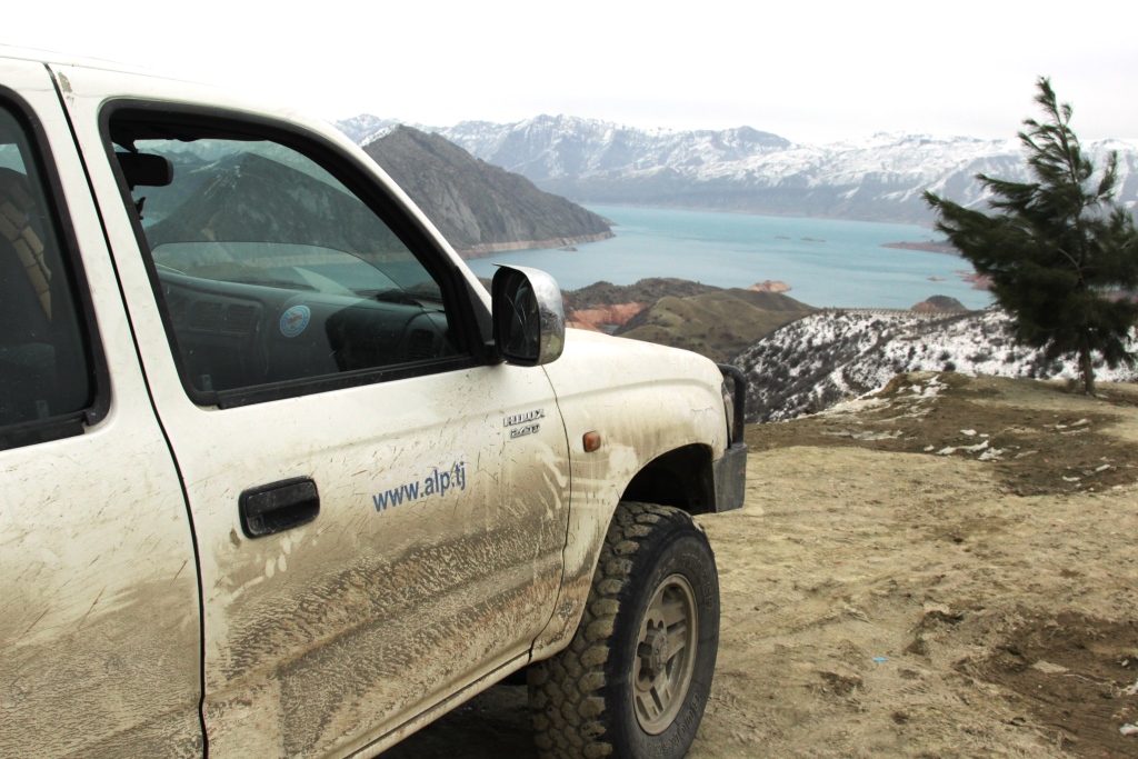
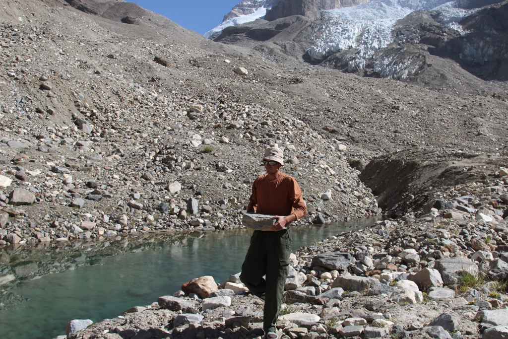
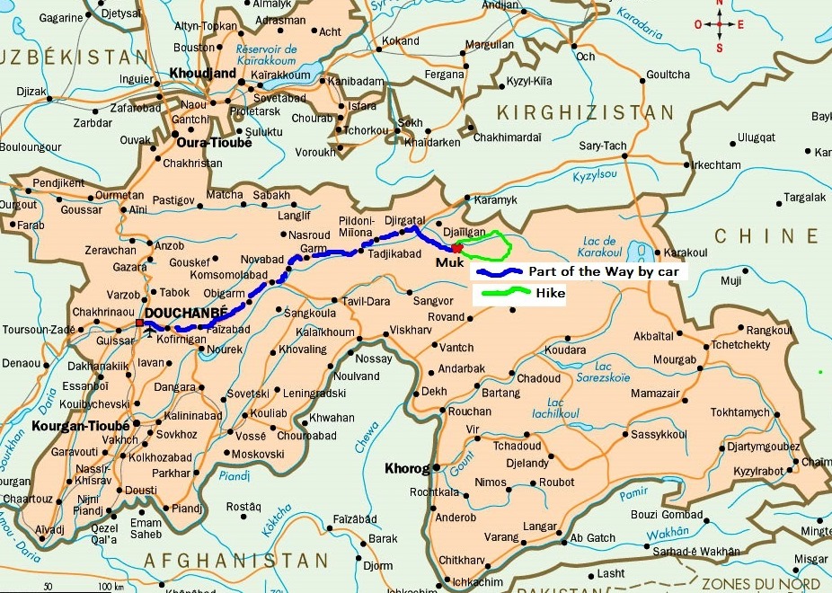
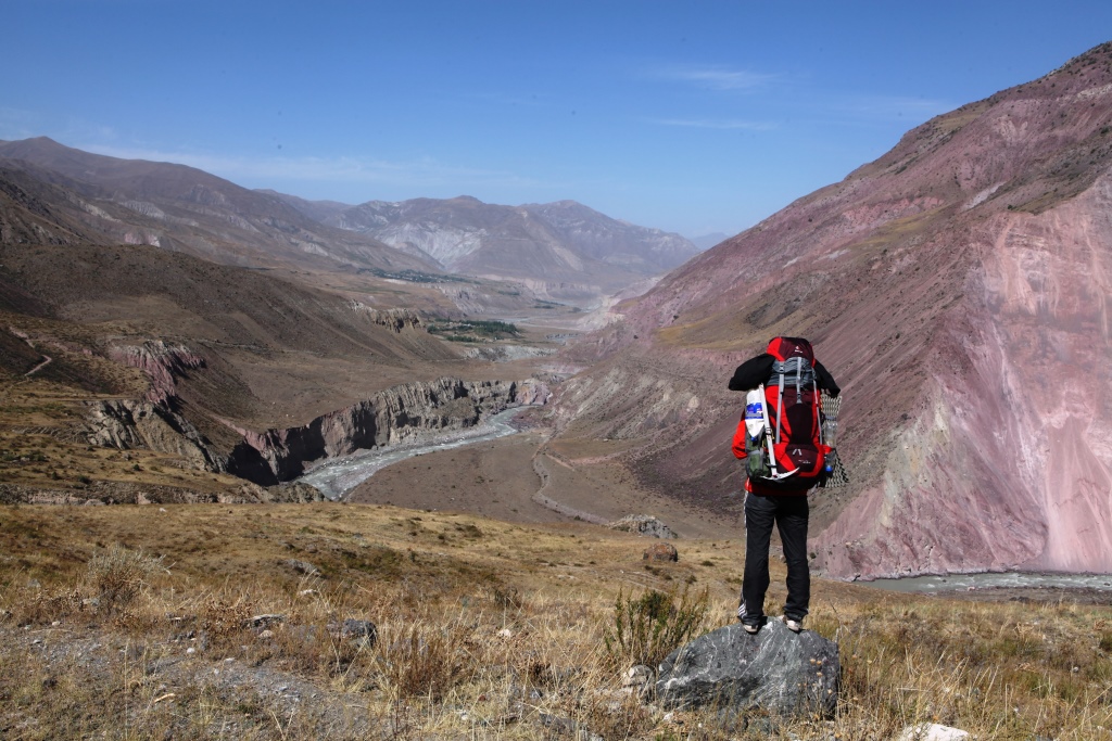
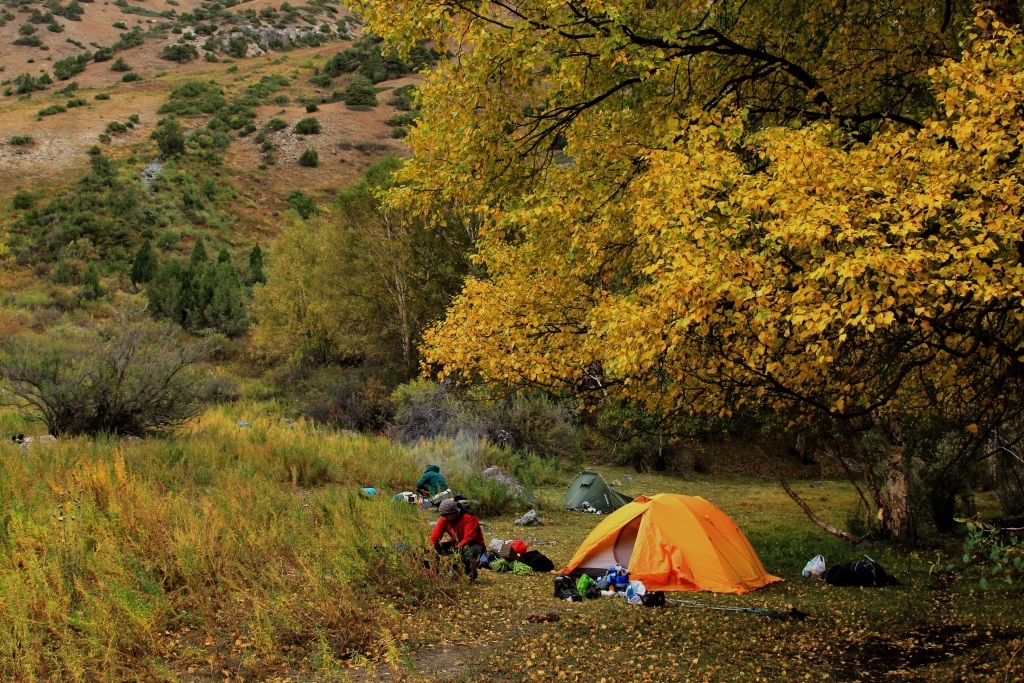
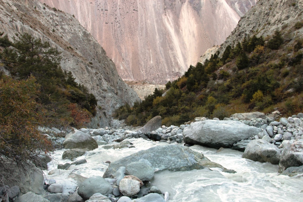
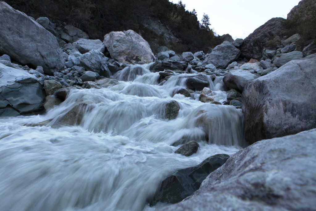
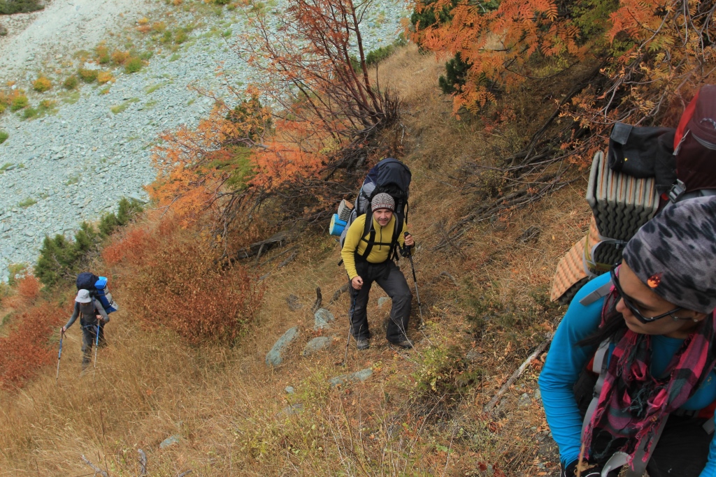
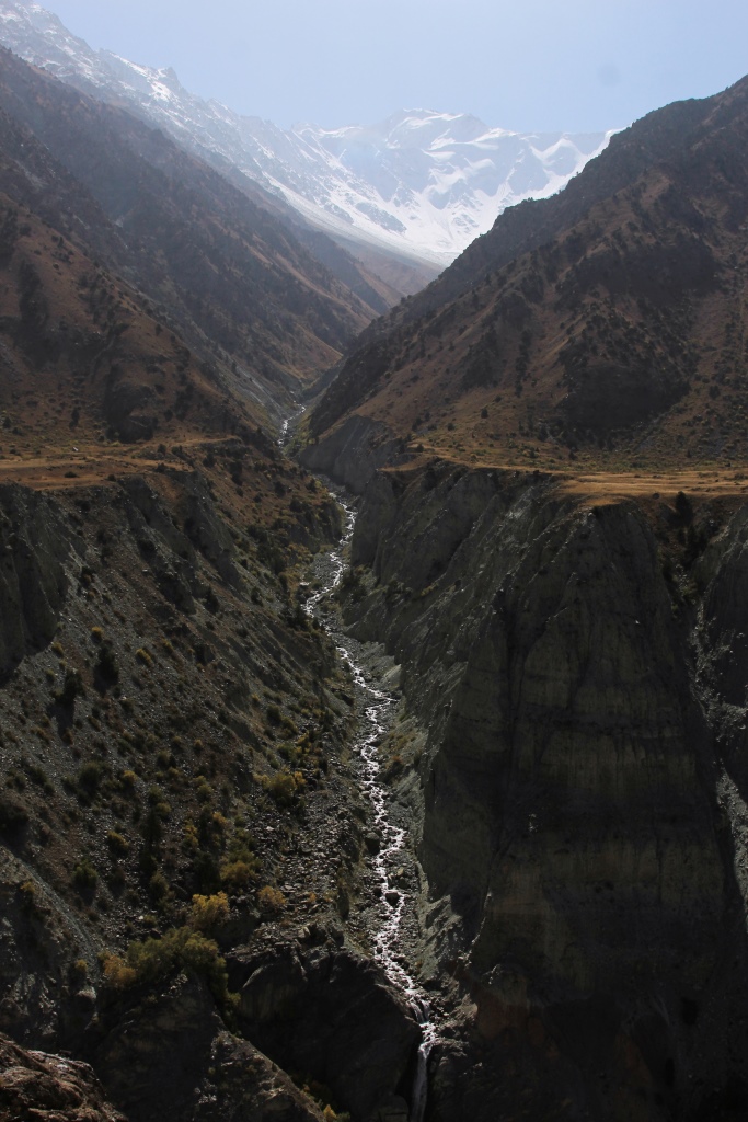
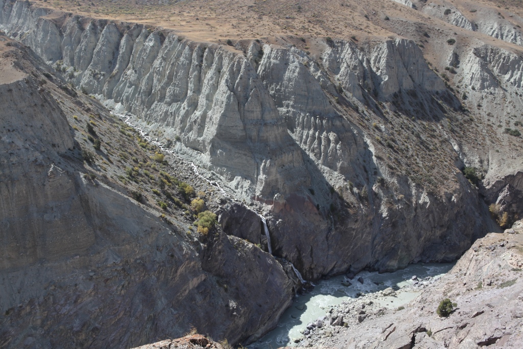
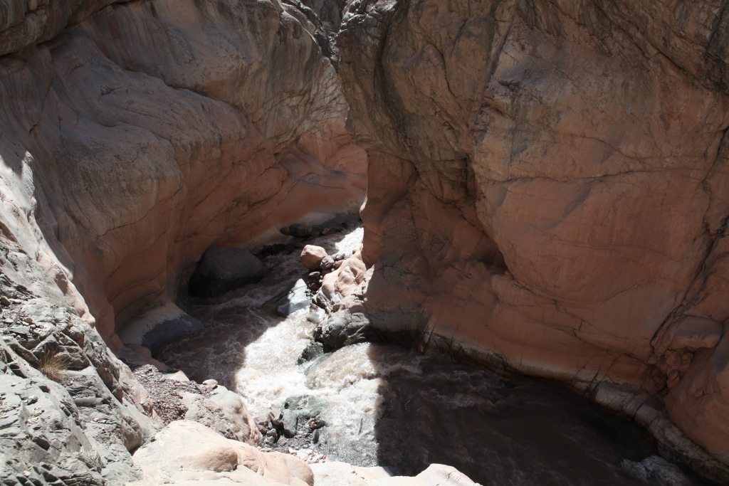
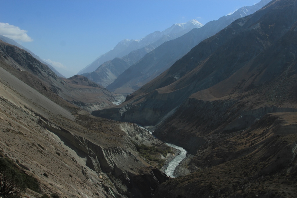
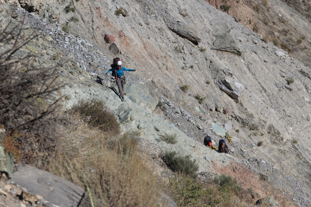
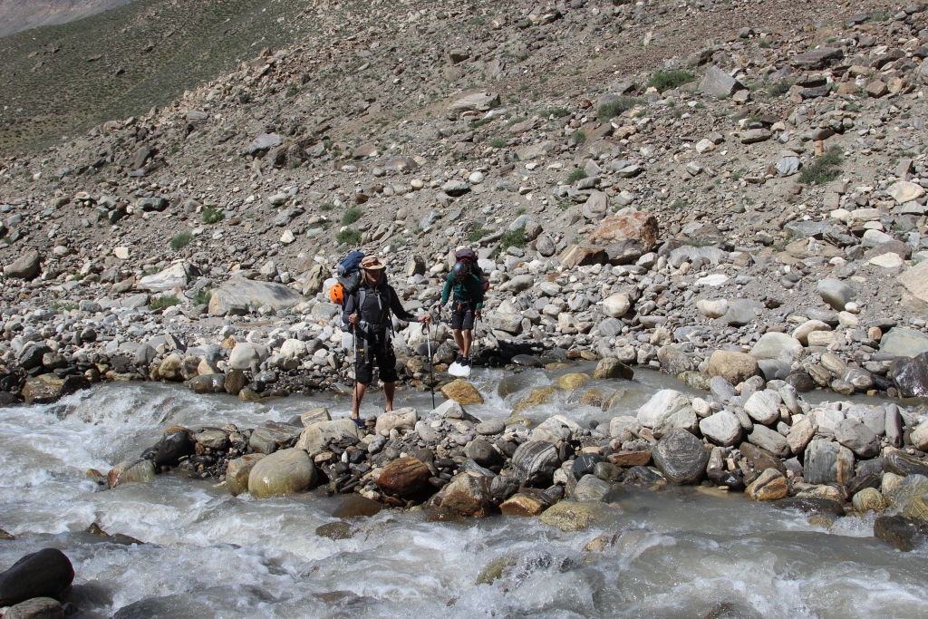
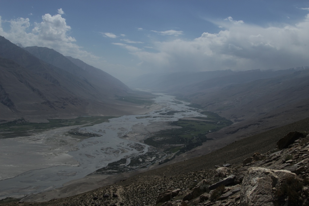
The Muksu river originates from glaciers Fedchenko and Big Saukdara. This is one of those places that are on the «edge of the world». This year our team was fortunate enough to visit in the area. Our journey started in the village Depar, Rajskogo district and then along the Ridge of Peter the great through the pass, Belcando 3339 m, valley Sugran, pass Irget 1B 4400м (Irgy,Redhead,Roundabout) pass Tamasha 3600m, valley Hadarcha. This route is used by climbers to get to the base camp «Moskvin’s glade» under peak I. Somoni. Because of fresh snow on the passes, we returned back along the trail running along the right Bank of the Muksu river, on the road of the gold seekers. Here it is necessary to add! This way objectively dangerous path of constantly falling stones, sometimes the road disappears in the case of bad weather not passable. Obviously when the earlier, the valley was inhabited along the river Muksu often come across almost vanishing traces of human habitations, bridges, and trails. The area is very beautiful and interesting, but accessible only for well prepared tourists.
This tracking was attended by Maryam Sharipova,Anatoliy Sharipov, Nicolai Nomerotsky, Simon Krylov.
Photo; Anatoliy Sharipov, Nicolai Nomerotsky,
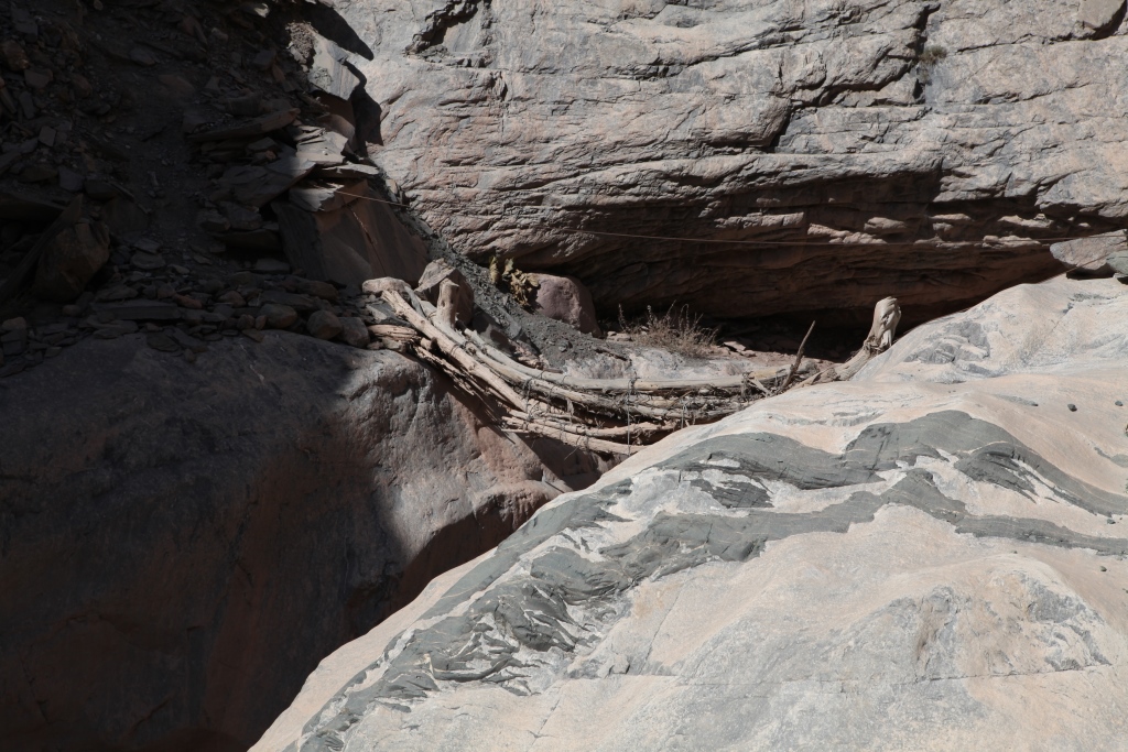
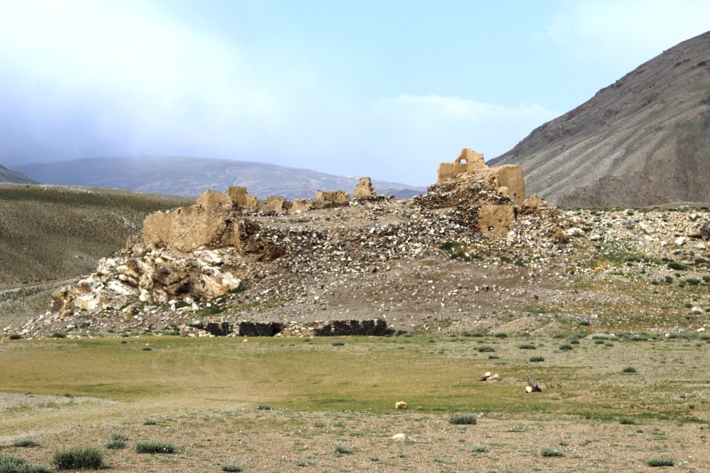
Addition to pictures 27 and 31 House Gursky.
House Gursky. A story with a sad end. In the 80-ies of the last century, the «a» named Nicholas Gursky decided to save humanity or the part coming from the nuclear end of the world new flood and so on. Of divinely Inspired books, he concluded that Sugran is the place where he sailed away on Noah’s ark. He attracted people, especially women with difficult fate. In one of the winters he went to Moscow to write a book, and Sugran left one woman with two boys 6 and 11 years, they had a goat but it ran off. They remained without food. As soon as it became a little warmer, tried to reach out to people, but died during the journey The bodies were discovered by helicopter pilots flying over the pass Belcando. The story of the community «New ark» ended.
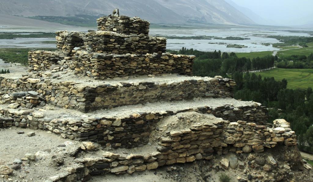
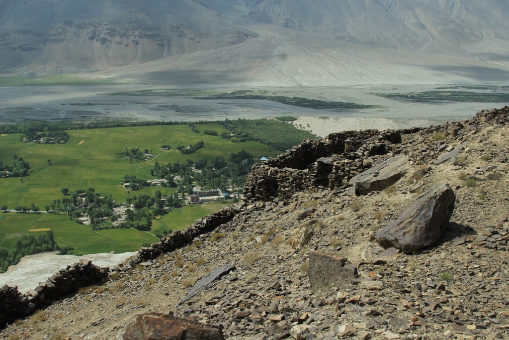
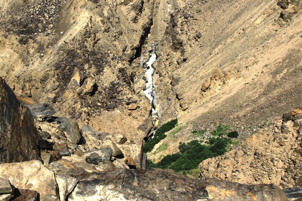
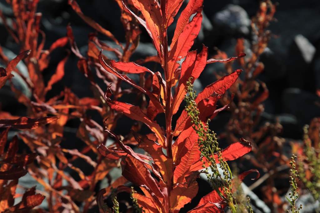
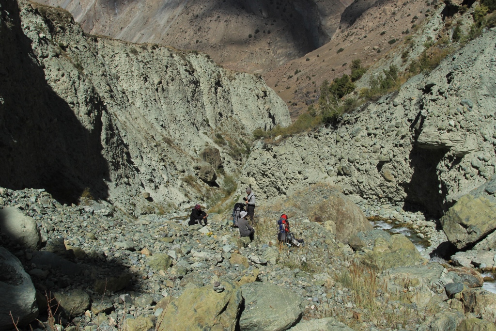
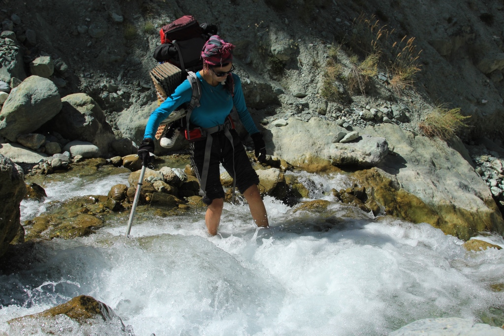
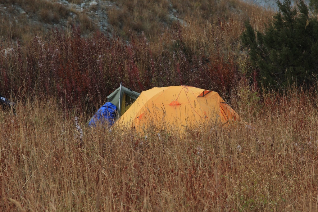
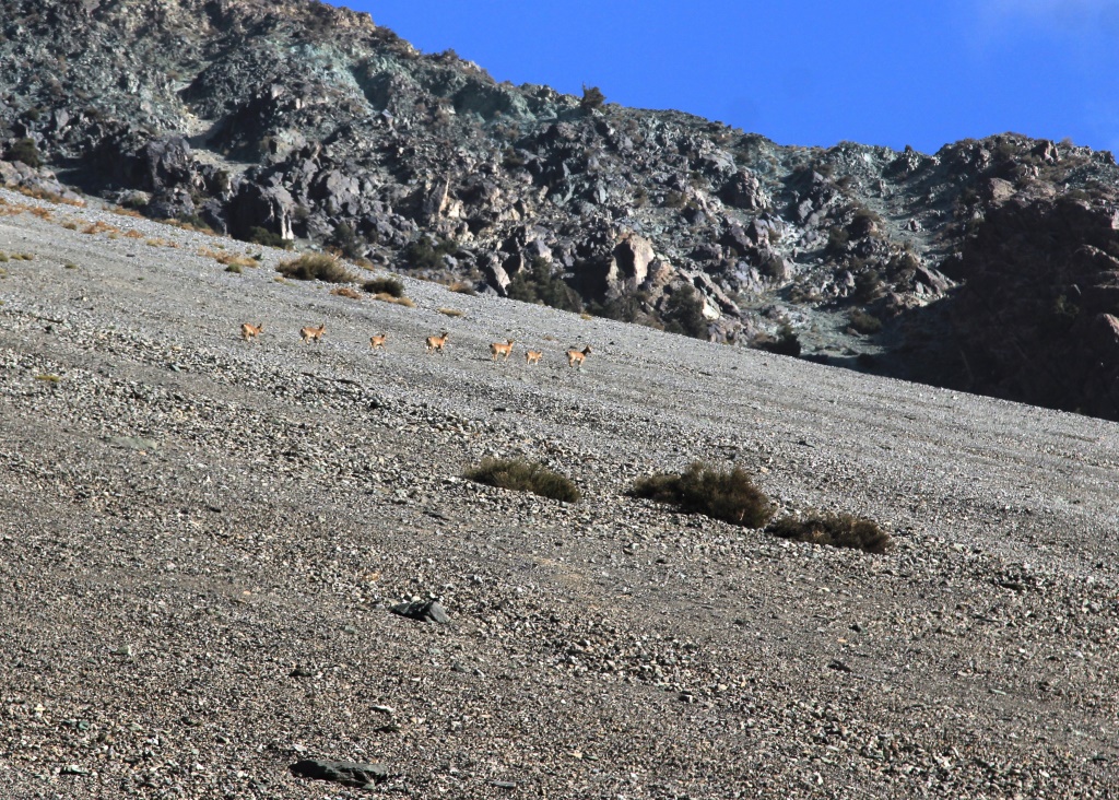
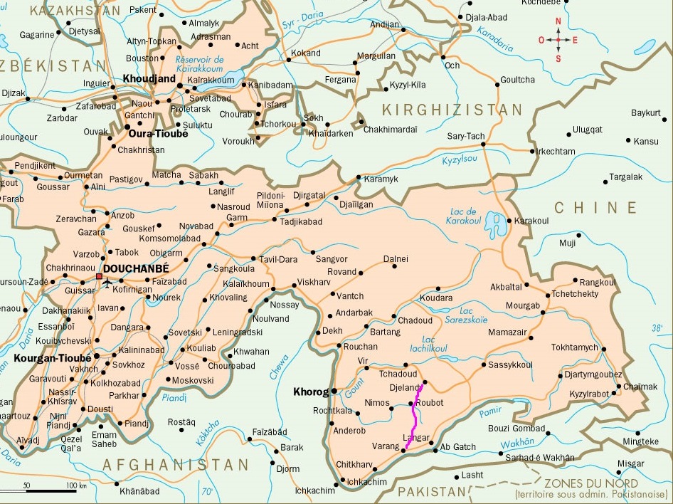
00 Our route on the map of Tajikistan001The road to the East0002The road to the East002The Vakhsh River003Here the confluence of the rivers Kyzylsu and Muksu is born the river Surkhob004Photo before going into the mountains.We escorts Uchkun and his family. Photo before going into the mountains.We say goodbye to the Uchkun and his family.005The valley of the river Muksu006. The Plants Of The Pamirs.008. Gorge Ergay.9. Gorge Ergay10.The Village Of Candou.11. The Plants Of The Pamirs.12.Rest on the way.13. The valley of the river Muksu. The villages of Muk and Depshar.14. The ascent to the pass, Belcandov 3339м.15.Plateau Chоjatau, the view from the pass of Belcandov16. Valley Sugran the view from the pass, Belcandov.17 The descent to the river Sugran18 The descent to the river Sugran19. The bridge over the river Sugran20 . River Sugran view from the bridge.The bridge over river Sugran.22. The bridge over the river Sugran.023 The Plants Of The Pamirs.26.Camp in the valley of Sugran.27 House Gursky28. Almost Nirvana.029Camp in the valley of Sugran030Birch in the valley of Sugran031 House Gursky032The Sky Of The Pamir033 View of the pass Irget with Sugran034 The Plants Of The Pamirs.035 Rest on the way.036 The ascent to the pass Irget037 The view from the pass Irget, the valley of Sugran.038 Camp on the pass Irget 4400m039 Muksu valley views to the South.040 The descent from the pass Irget041 The descent from the pass Irget042The Plants Of The Pamirs.044 Camp by the river Irgiy045 In the canyon of the river Irgiy.046 Crossing the river Irgiy.047 The Plants Of The Pamirs.048 Nikolay Nomerotsky Shelter of a hunter.049 Shelter of a hunter.050 The Plants Of The Pamirs.051 Pass Tamasha. A traditional photo.052 0 River Hadircha.052 1 River Hadircha.054 Backpack ready for the crossing.055Crossing the river Hadircha. We were lucky, a little water.056Crossing the river Hadircha. We were lucky, a little water.057 River Hadircha.058 Maryam Sharipova In the camp on the river Hadircha.059 The weather is getting worse.060The weather is getting worse.061The weather is getting worse.062 The Plants Of The Pamirs.063 Hadircha. There are no roads.064 Camp in the valley Hadircha065 The quest for water.066 A supply of water.067 Mount Shafak 5667m068 In the mountains of new snow.069 The Plants Of The Pamirs070.Lunch071 Anatoliy Sharipov.072 Rope crossing the river Muksu.073 Simon Krilov Rope crossing the river Muksu.074Rope crossing the river Muksu.075Rope crossing the river Muksu.076 Rope crossing the river Muksu.077 Rope crossing the river Muksu.078 Rope crossing the river Muksu.079 Rope crossing the river Muksu.080 Rope crossing the river Muksu.083 Rope crossing the river Muksu.084 Rope crossing the river Muksu.087 On the trail of the gold miners089 1 The Plants Of The Pamirs.089 Camp in the valley of the Muksu.090 On the trail of the gold miners.091On the trail of the gold miners.093 On the trail of the gold miners.094 2 Irgiy river ends with a waterfall094 Irgiy river ends with a waterfall095 The wild goats here are not afraid of people. You can come very close.096 Rest on the way.097 On the trail of the gold miners.098 River Servosa.099 The bridge over the river Servosa101 Lunch on the river Servosa102 Crossing the river Servosa.103 The Muksu river, view from the trail.104 The Muksu river, view from the trail.105 On the trail of the gold miners.107 The monument to the dead prospector.108 Plateau Hadjatou109 Plateau Hadjatou110 Camp on plateau Chоjatau.Plateau HadjatouThe Holy place of Hazrat Sultan.Plateau Chоjatau.The Holy place of Hazrat Sultan.Plateau Chоjatau.The Holy place of Hazrat Sultan.Plateau Chоjatau.The Holy place of Hazrat Sultan.Plateau Chоjatau.Plateau Chоjatau.Plateau Chоjatau.The bridge over the river Muksu.The bridge over the river Muksu.
Река Муксу берёт своё начало из ледников Федченко и Большой Саукдара. Это одно из тех мест которые находятся на «краю света». В этом году нашей команде посчастливилось вновь побывать в этом районе. Наш путь начался в кишлаке Депшар Лахшкого района и далее вдоль Хребта Петра Первого через перевал Белькандоу 3339 м, долина Сугран, перевал Иргет 1Б 4400м (Иргай,Рыжий,Обходной) перевал Тамаша 3600м, долина Хадырша. Этот маршрут используют альпинисты для того чтобы попасть в базовый лагерь «Поляна Москвина» под пиком И.Сомони.По причине свежего снега на перевалах, возвращались обратно мы по тропе идущей по правому берегу реки Муксу, по дороге золото-мойщиков. Здесь обязательно надо добавить! Этот путь объективно опасен, тропа постоянно пробивается камнями, местами исчезает и в случае плохой погоды не проходима. Одним словом не советуем. Очевидно когда то раньше, долина была населена, вдоль реки Муксу часто попадаются почти исчезающие следы человеческого жилья, мостов и троп. Район очень красив и интересен, но доступен только для хорошо подготовленных туристов.
В поход ходили Шарипова М.рук. Номероцкий Н. Крылов С. Шарипов А.
Дополнение к снимкам 27 и 31 Домик Гурского.
Домик Гурского. История с грустным концом. В 80-х годах прошлого века, «некий» по имени Николай Гурский решил спасти человечество или часть от грядущего ядерного конца света нового потопа и тд. Из Боговдохновенных книг он сделал вывод что Сугран именно то место откуда когдато отчалил Ноев ковчег. К нему потянулись люди, особенно женщины с трудной судьбой. В одну из зим он уехал в Москву писать книгу, а на Сугране осталась одна такая женщина с двумя мальчиками 6 и 11 лет, у них была коза но она сбежала. Остались они без продуктов. Как только стало чуть теплее, попытались выйти к людям. Но сил не хватило и они погибли в пути. Трупы обнаружили вертолётчики пролетая над перевалом Белькандоу. На этом история общины «Новый ковчег» закончилась.
Фото; А.Шарипов, Н.Номероцкий.
00 Our route on the map of Tajikistan001The road to the East0002The road to the East002The Vakhsh River003Here the confluence of the rivers Kyzylsu and Muksu is born the river Surkhob004Photo before going into the mountains.We escorts Uchkun and his family. Photo before going into the mountains.We say goodbye to the Uchkun and his family.005The valley of the river Muksu006. The Plants Of The Pamirs.008. Gorge Ergay.9. Gorge Ergay10.The Village Of Candou.11. The Plants Of The Pamirs.12.Rest on the way.13. The valley of the river Muksu. The villages of Muk and Depshar.14. The ascent to the pass, Belcandov 3339м.15.Plateau Chоjatau, the view from the pass of Belcandov16. Valley Sugran the view from the pass, Belcandov.17 The descent to the river Sugran18 The descent to the river Sugran19. The bridge over the river Sugran20 . River Sugran view from the bridge.The bridge over river Sugran.22. The bridge over the river Sugran.023 The Plants Of The Pamirs.26.Camp in the valley of Sugran.27 House Gursky28. Almost Nirvana.029Camp in the valley of Sugran030Birch in the valley of Sugran031 House Gursky032The Sky Of The Pamir033 View of the pass Irget with Sugran034 The Plants Of The Pamirs.035 Rest on the way.036 The ascent to the pass Irget037 The view from the pass Irget, the valley of Sugran.038 Camp on the pass Irget 4400m039 Muksu valley views to the South.040 The descent from the pass Irget041 The descent from the pass Irget042The Plants Of The Pamirs.044 Camp by the river Irgiy045 In the canyon of the river Irgiy.046 Crossing the river Irgiy.047 The Plants Of The Pamirs.048 Nikolay Nomerotsky Shelter of a hunter.049 Shelter of a hunter.050 The Plants Of The Pamirs.051 Pass Tamasha. A traditional photo.052 0 River Hadircha.052 1 River Hadircha.054 Backpack ready for the crossing.055Crossing the river Hadircha. We were lucky, a little water.056Crossing the river Hadircha. We were lucky, a little water.057 River Hadircha.058 Maryam Sharipova In the camp on the river Hadircha.059 The weather is getting worse.060The weather is getting worse.061The weather is getting worse.062 The Plants Of The Pamirs.063 Hadircha. There are no roads.064 Camp in the valley Hadircha065 The quest for water.066 A supply of water.067 Mount Shafak 5667m068 In the mountains of new snow.069 The Plants Of The Pamirs070.Lunch071 Anatoliy Sharipov.072 Rope crossing the river Muksu.073 Simon Krilov Rope crossing the river Muksu.074Rope crossing the river Muksu.075Rope crossing the river Muksu.076 Rope crossing the river Muksu.077 Rope crossing the river Muksu.078 Rope crossing the river Muksu.079 Rope crossing the river Muksu.080 Rope crossing the river Muksu.083 Rope crossing the river Muksu.084 Rope crossing the river Muksu.087 On the trail of the gold miners089 1 The Plants Of The Pamirs.089 Camp in the valley of the Muksu.090 On the trail of the gold miners.091On the trail of the gold miners.093 On the trail of the gold miners.094 2 Irgiy river ends with a waterfall094 Irgiy river ends with a waterfall095 The wild goats here are not afraid of people. You can come very close.096 Rest on the way.097 On the trail of the gold miners.098 River Servosa.099 The bridge over the river Servosa101 Lunch on the river Servosa102 Crossing the river Servosa.103 The Muksu river, view from the trail.104 The Muksu river, view from the trail.105 On the trail of the gold miners.107 The monument to the dead prospector.108 Plateau Hadjatou109 Plateau Hadjatou110 Camp on plateau Chоjatau.Plateau HadjatouThe Holy place of Hazrat Sultan.Plateau Chоjatau.The Holy place of Hazrat Sultan.Plateau Chоjatau.The Holy place of Hazrat Sultan.Plateau Chоjatau.The Holy place of Hazrat Sultan.Plateau Chоjatau.Plateau Chоjatau.Plateau Chоjatau.The bridge over the river Muksu.The bridge over the river Muksu.
In early July of 2017 Club Team «AGBA» in the Anatoly Sharipov, Simon Krylov , Ramit Senjapov passed on the route.
Jelondy, valley Tuzumtaykul.( The numbers correspond to the days on the route)
2.3.Pass 4291 M. lake Turumtaykul 4202 m. (day of Rest)
4.River valley Duzakhdara South.
5.The valley of the river Shahdara , Javshangoz.
6.7.River valley Wiring.
Pass Wrang 5067м river valley Wnucut.
9.The valley of the Panj river (Wakhan) the village Vrang.
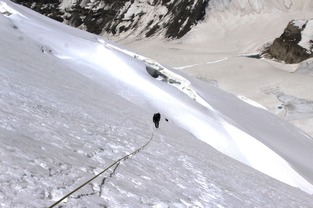
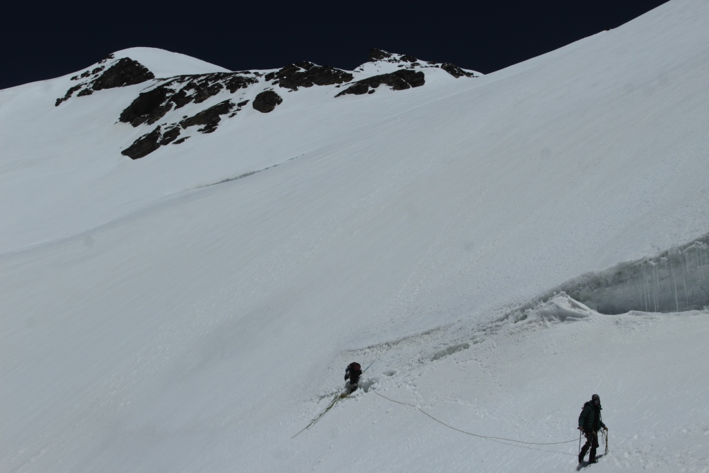
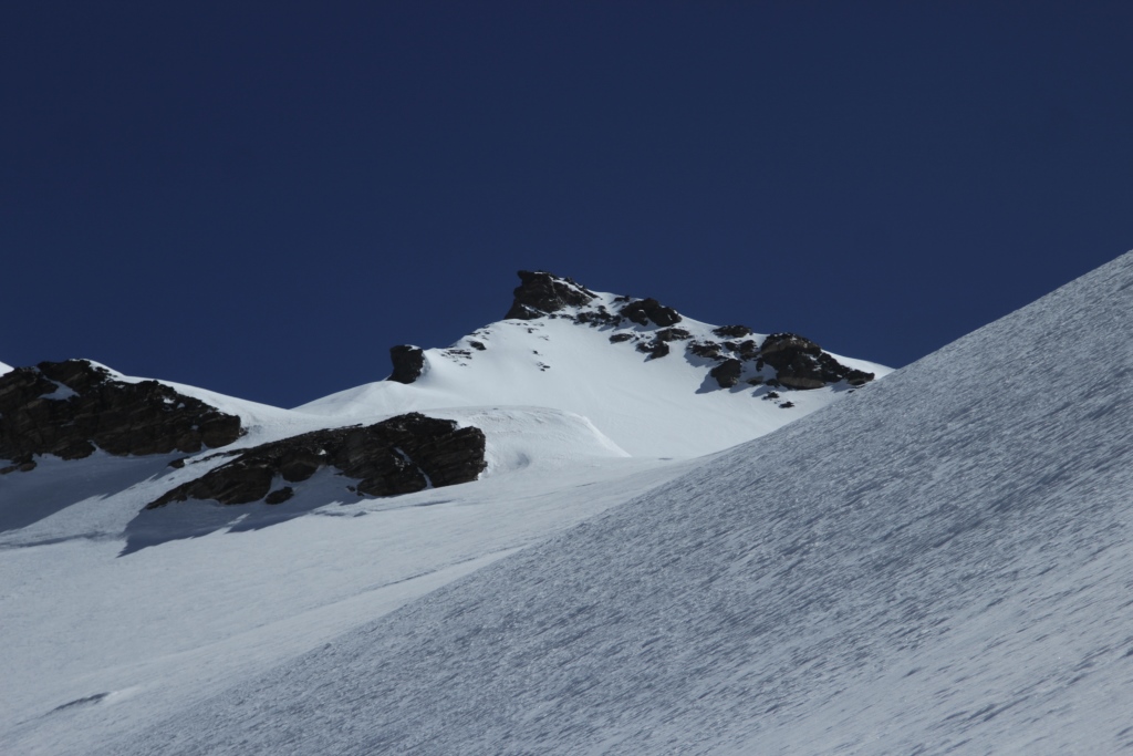
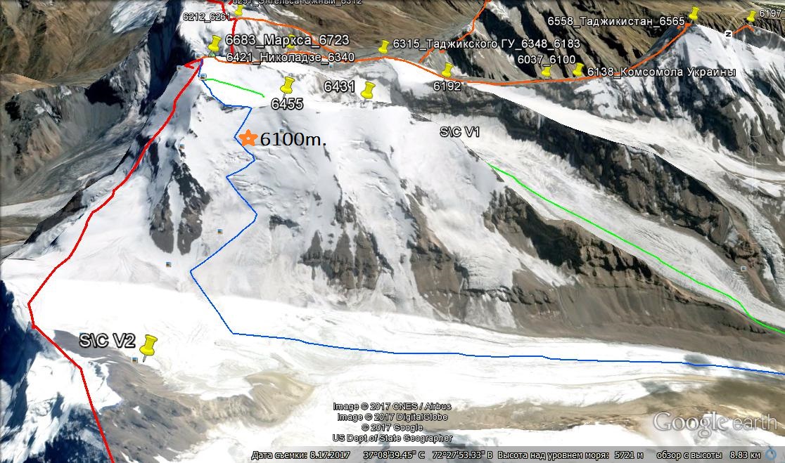
The trekking program was conceived as acclimatization. The route passed without incident for 9 days.. At the end of the campaign was an attempt to climb PIK Karl Marx 6700м with glacier Nishgar. Unfortunately, climbing, for objective reasons, had to interrupt.. the Team reached an altitude of 6100m.
Outcome: passed the tracking interesting and made a deep exploration of the route of ascent to the peak of Karl Marx.
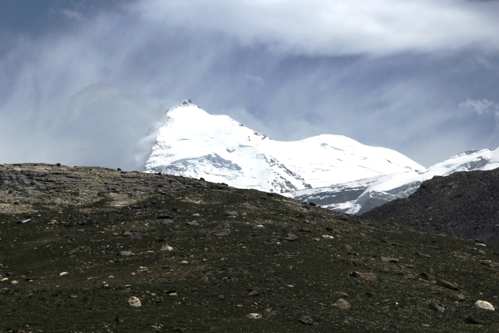
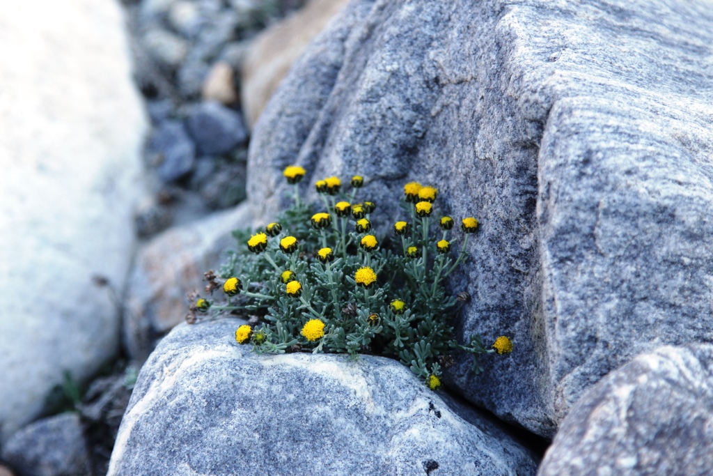
Our route on the map of Tajikistan.Jelondy. The beginning of the path.2. Camp in the valley Tuzumtaykul.The Plants Of The Pamirs. Растения Памира.Pamir.Camp in the valley Tuzumtaykul. Not far away the homes of local residents on summer pastures. Лагерь в долине Тузумтайкуль. Неподалеку летовка -жилище памирцев на летних пастбищах.Pass 4291м. The valley Tuzumtaykul. Перевал 4291м.Долина Тузумтайкуль.7. Lake Turumtaykul 4202 m.The view from the pass 4291м.Camp on the shore of lake TurumtaykulThe Plants Of The Pamirs.Lake TurumtaykulThe Plants Of The Pamirs.Camp on the shore of lake Turumtaykul.Lake TurumtaykulThe Plants Of The Pamirs.Lake TurumtaykulCamp in the valley of the river Duzakhdara South.In the way.The Plants Of The Pamirs.So we saw the peaks of Marx and Engels for the first timeThe ruins of the fortress Javshangoz.The Plants Of The Pamirs.A modern inscription in the fortress.Valley WirangPIK Karl Marx view of the valley Wirang.The Plants Of The Pamirs.Camp before the pass Wrang.The ascent to the pass Wrong.The ascent to the pass Wrong.Pass Wrang 5067м.The descent from the pass Wrang.The descent from the pass Wrang.The descent from the pass Wrang.The Plants Of The Pamirs.The descent from the pass Wrang.In the valley of Wnucut.In the valley of Wnucut.The Plants Of The Pamirs.In the valley of Wnucut.In the valley of Wnucut.Our friend Zarbali.In the valley of Wnucut.The valley of the Panj river (Wakhan) Wrang.The valley of the Panj river (Wakhan) Wrang.Buddhist temple.Pamir gems.The path to the top of the valley Nishar.The path to the top of the valley Nishar.The path to the top of the valley Nishar.Camp on the way to glacier Nishgar.The Plants Of The Pamirs.Camp on the way to glacier Nishgar.Ramit.Camp on the glacier Nishgar 5100 m.View of the summit from the camp.In the camp.Morning, ascent.Morning, ascent.Morning, ascent.During the ascent.During the ascent.Peak Karl Marx and pass Nishgar Central 6370м.Peak Karl Marx and pass Nishgar Central 6370м.The route of ascent.Pass Nishgar from the South 5650m..Simon and Ramit.The last camp of the expedition 2017.The Plants Of The Pamirs.Pamir gems.The descent into the valley.Elements of the Mountain civilizationThe Wakhan valley.
Данный трекинг задумывался как акклиматизационный. Маршрут пройден без происшествий за 9 дней. В конце похода была предпринята попытка восхождения на пик Карла Маркса 6700м с ледника Нишгар. К сожалению, восхождение по объективным причинам пришлось прервать.. Команда достигла высоты 6100м. Итог: пройден интересный трекинг и сделана глубокая разведка маршрута восхождения на пик Карла Маркса.
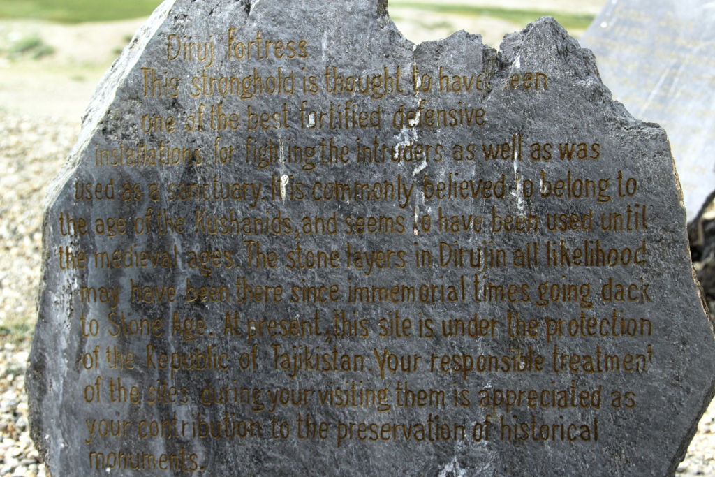
Our route on the map of Tajikistan. Наш путь на карте Таджикистана.Jelondy. The beginning of the path. Джеланды. Начало пути.Camp in the valley Tuzumtaykul. Лагерь в долине Тузумтайкуль.The Plants Of The Pamirs. Растения Памира.4. Pamir.Camp in the valley Tuzumtaykul. Not far away the homes of local residents on summer pastures. Лагерь в долине Тузумтайкуль. Неподалеку летовка -жилище памирцев на летних пастбищах.Pass 4291м. The valley Tuzumtaykul. Перевал 4291м.Долина Тузумтайкуль.Lake Turumtaykul 4202 m.The view from the pass 4291м..Озеро Турумтайкуль 4202м с перевала 4291м.Camp on the shore of lake Turumtaykul.Лагерь на берегу озера Турумтайкуль.The Plants Of The Pamirs. Растения Памира.Lake Turumtaykul На озере Турумтайкуль.The Plants Of The Pamirs. Растения Памира.Camp on the shore of lake Turumtaykul.Лагерь на берегу озера Турумтайкуль.Lake Turumtaykul На озере Турумтайкуль.The Plants Of The Pamirs. Растения Памира.Lake Turumtaykul На озере Турумтайкуль.Camp in the valley of the river Duzakhdara South.Лагерь в долине реки Дузахдара Южная.In the way. В пути.The Plants Of The Pamirs. Растения Памира.So we saw the peaks of Marx and Engels for the first time.Такими мы увидели пики Маркса и Энгельса первый раз.The ruins of the fortress Javshangoz.Развалины крепости Джавшангоз.The Plants Of The Pamirs. Растения Памира.22. A modern inscription in the fortress. Современная надпись в крепости.Valley Wirang. Долина Виранг.PIK Karl Marx view of the valley Wirang.Пик Карла Маркса вид из долины Виранг.The Plants Of The Pamirs. Растения Памира.Camp before the pass Wrang. Лагерь перед перевалом Вранг.The ascent to the pass Wrong. Подъём на перевал Вранг.The ascent to the pass Wrong. Подъём на перевал Вранг.Pass Wrang 5067м.Перевал Вранг 5067м.The descent from the pass Wrang. Спуск с перевала Вранг.The descent from the pass Wrang. Спуск с перевала Вранг.The descent from the pass Wrang. Спуск с перевала Вранг.The Plants Of The Pamirs. Растения Памира.
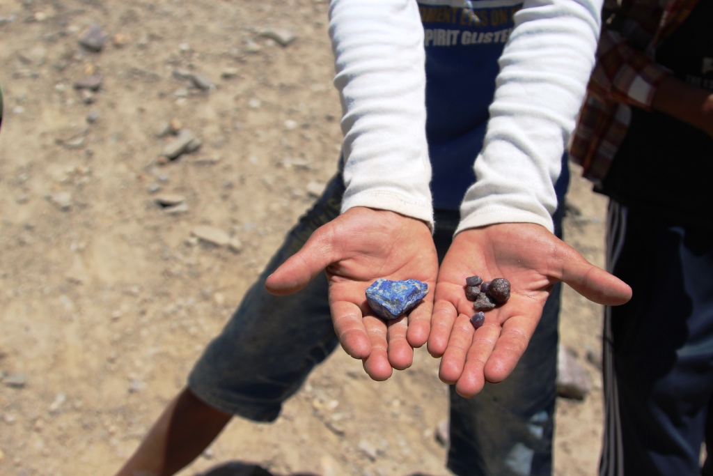
The descent from the pass Wrang. Спуск с перевала Вранг.In the valley of Wnucut.В долине Внукут.In the valley of Wnucut.В долине Внукут.The Plants Of The Pamirs. Растения Памира.In the valley of Wnucut.В долине Внукут.In the valley of Wnucut.В долине Внукут.Our friend Zarbali. Наш друг Зарбали.In the valley of Wnucut.В долине Внукут.The valley of the Panj river (Wakhan) Wrang. Долина реки Пяндж (Вахан)The valley of the Panj river (Wakhan) Wrang. Долина реки Пяндж (Вахан)Buddhist temple. Буддийский храм.Pamir gems. Памирские камни.The path to the top of the valley Nishar.Путь в верх по долине Нишгар.The path to the top of the valley Nishar.Путь в верх по долине Нишгар.The path to the top of the valley Nishar.Путь в верх по долине Нишгар.Camp on the way to glacier Nishgar. Лагерь на пути к леднику Нишгар.The Plants Of The Pamirs. Растения Памира.Camp on the way to glacier Nishgar. Лагерь на пути к леднику Нишгар.Ramit. Рамит.Camp on the glacier Nishgar 5100 m. Лагерь на леднике Нишгар 5100 м.View of the summit from the camp.Вид на вершину из лагеря.In the camp. В лагере.Morning, ascent. Утро, восхождение.Morning, ascent. Утро, восхождение.Morning, ascent. Утро, восхождение.During the ascent.Во время восхождения.During the ascent.Во время восхождения.Peak Karl Marx and pass Nishgar Central 6370м. Вершина пика Карла Маркса и перевал Нишгар Центральный 6370м.Peak Karl Marx and pass Nishgar Central 6370м. Вершина пика Карла Маркса и перевал Нишгар Центральный 6370м.The route of ascent.Маршрут восхождения.Pass Nishgar from the South 5650m.. Перевал Нишгар с юга 5650.Simon and Ramit. Семён и Рамит .The last camp of the expedition 17.Последний лагерь экспедиции 17.The Plants Of The Pamirs. Растения Памира.Pamir gems. Памирские камни.The descent into the valley.Спуск в долину.Elements of the Mountain civilization.. Элементы горной цивилизации.The Wakhan valley. Ваханская долина.
Альпинизм скалолазание горный туризм в Таджикистане