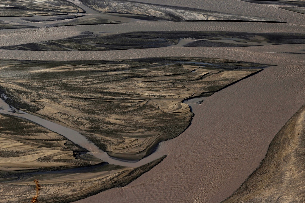
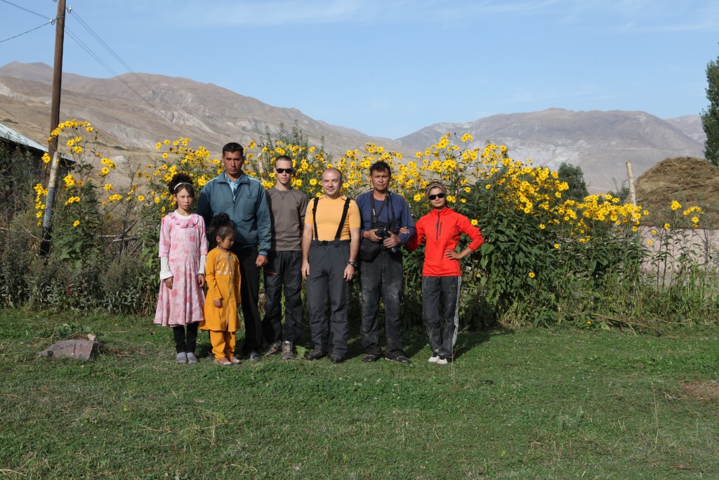
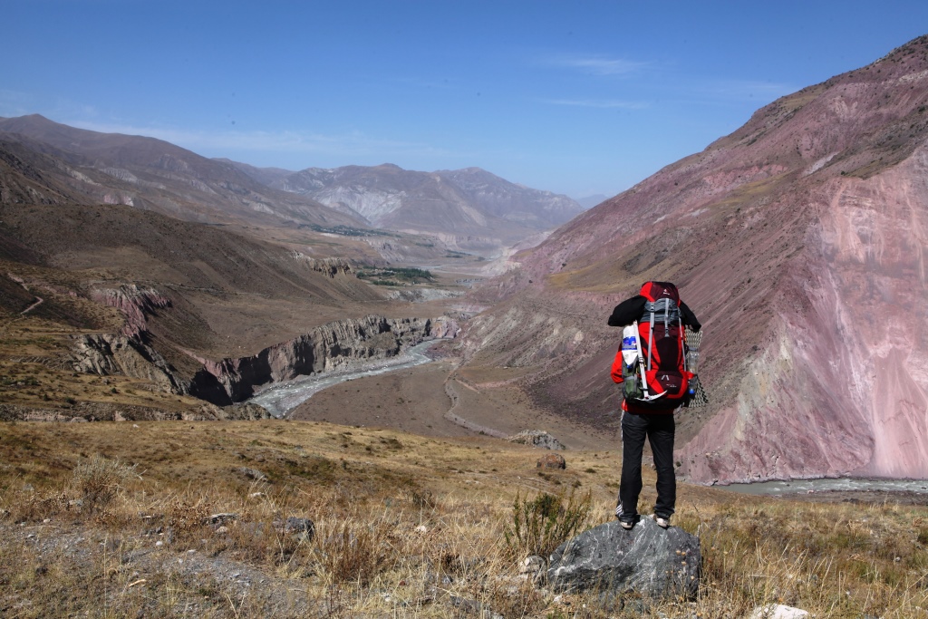
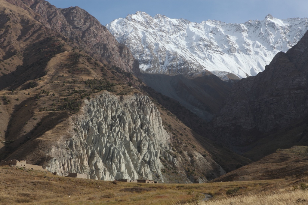
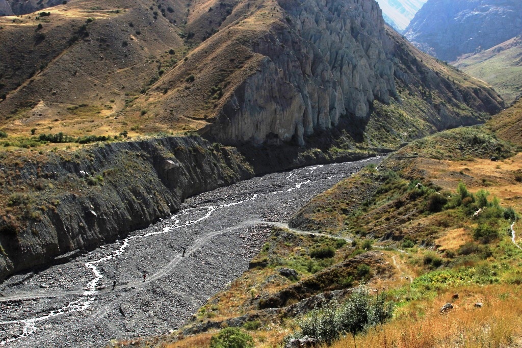
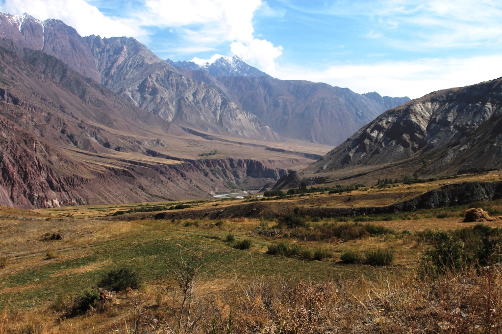
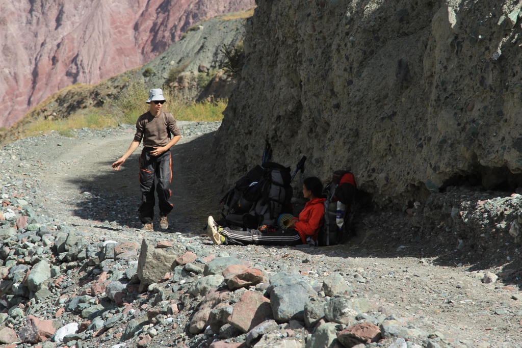
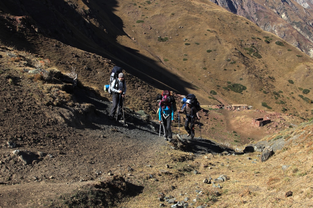
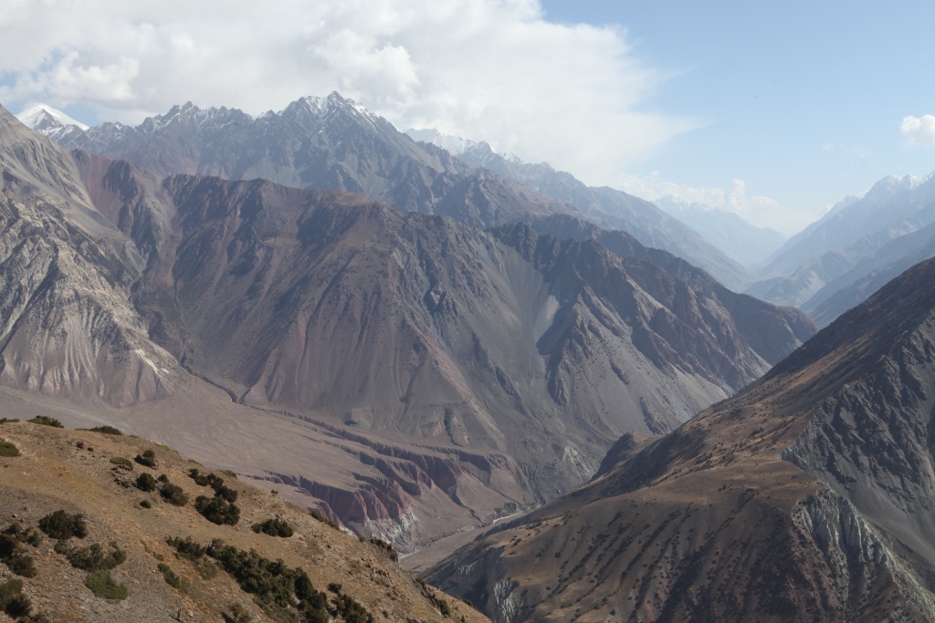
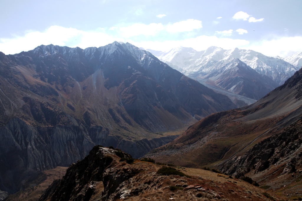
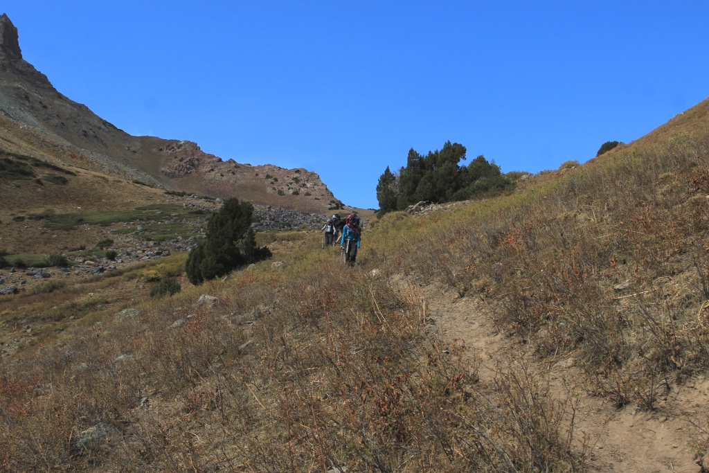
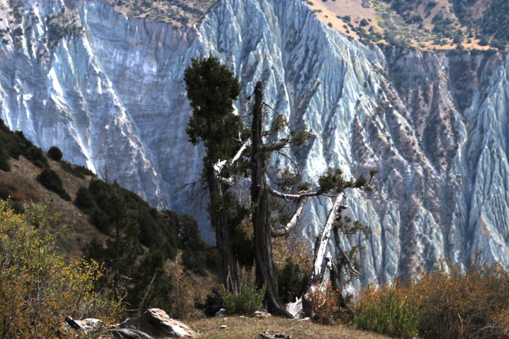
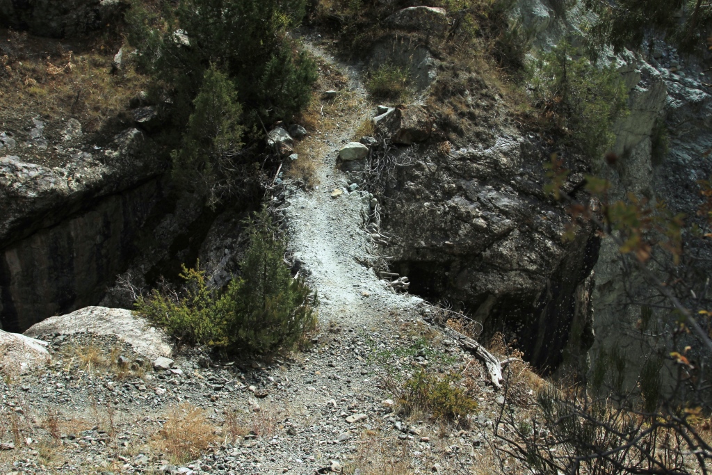
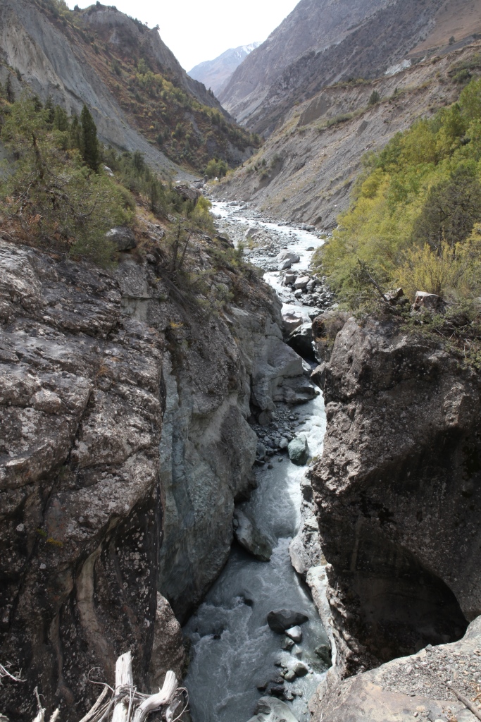
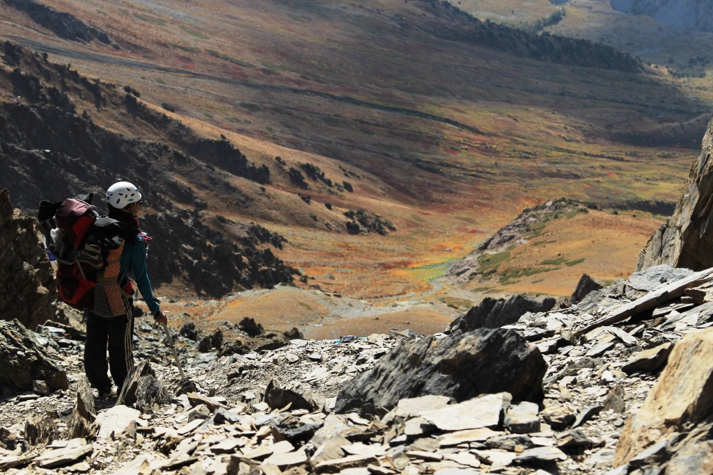
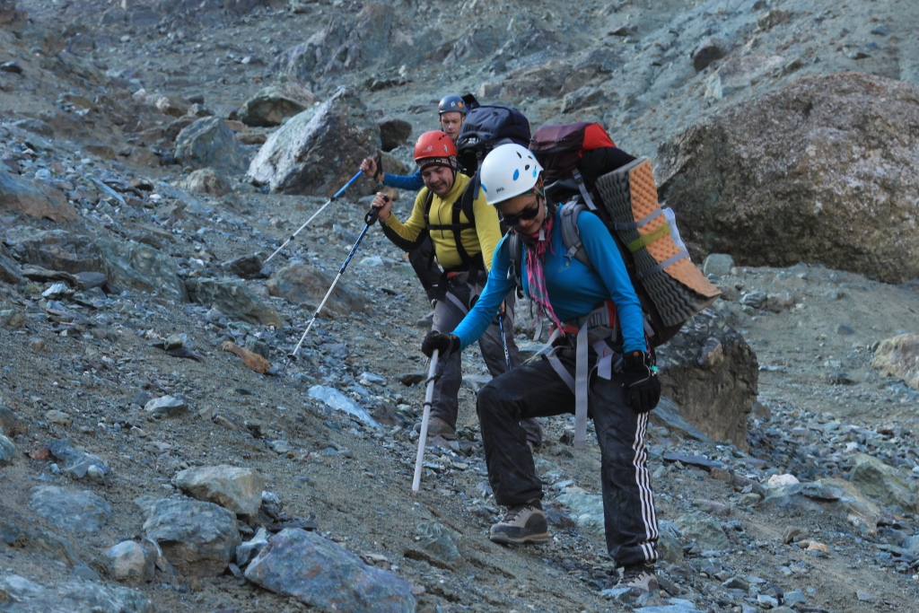
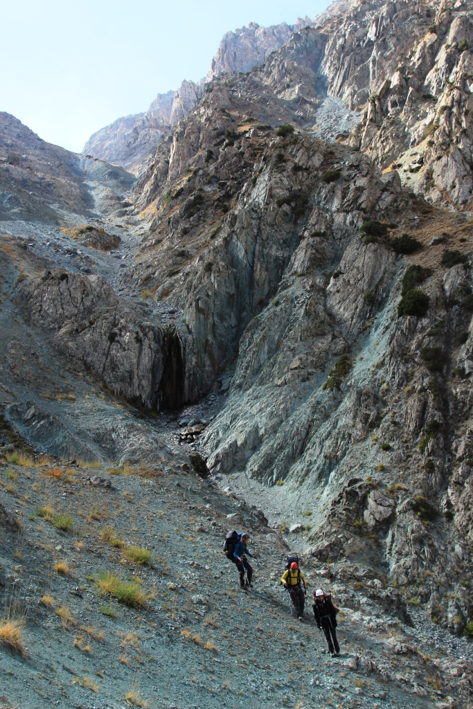
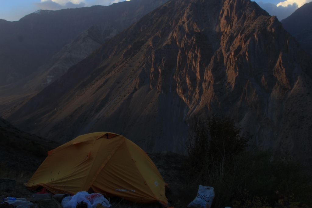
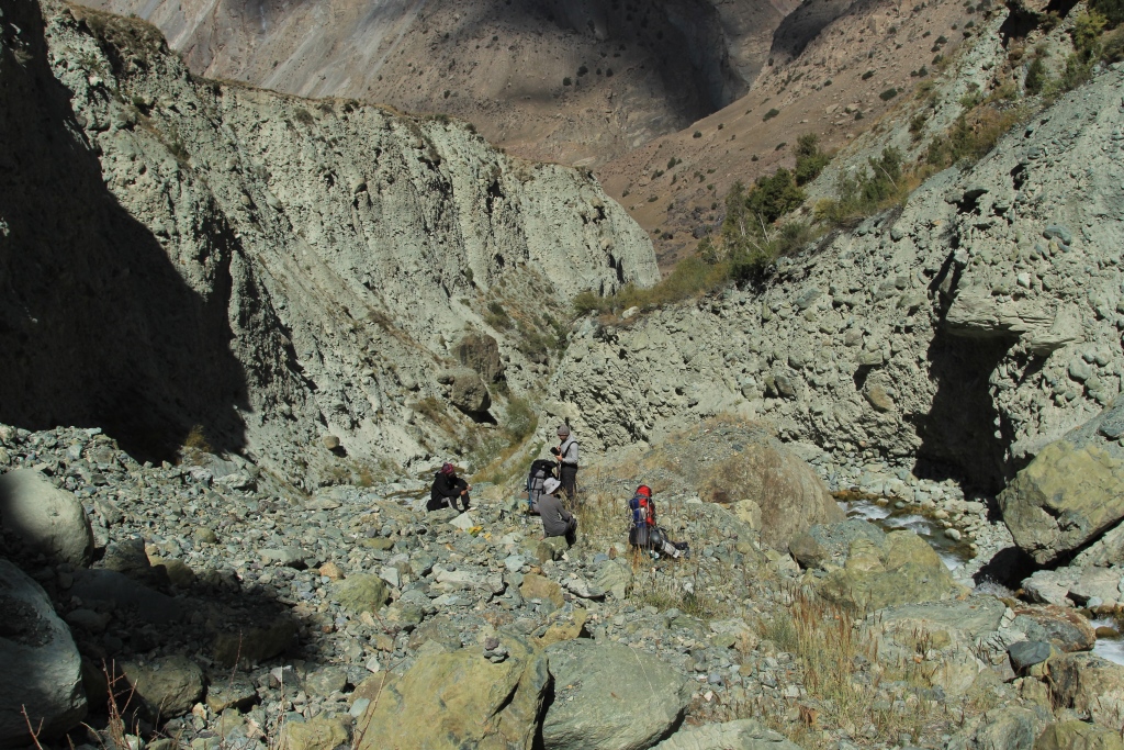
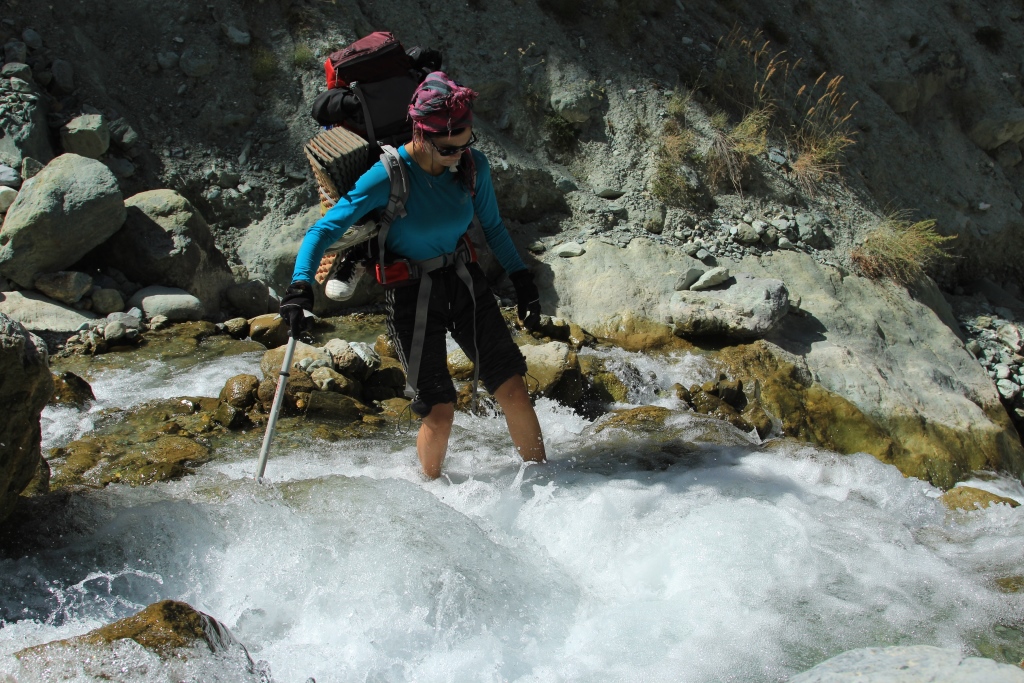
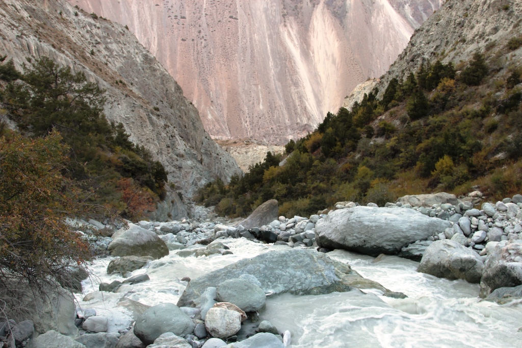
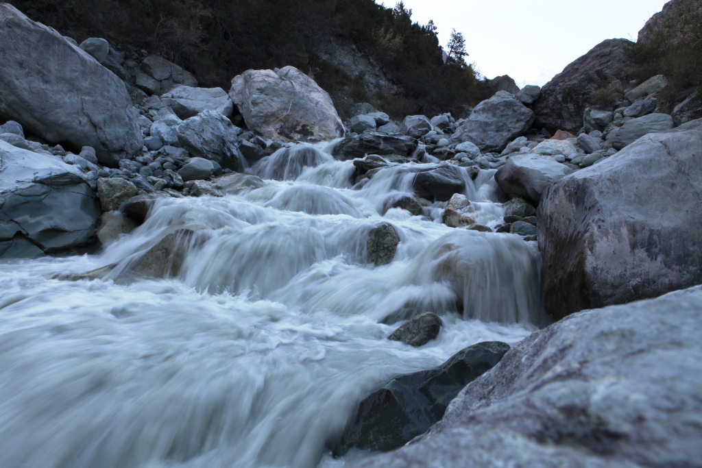
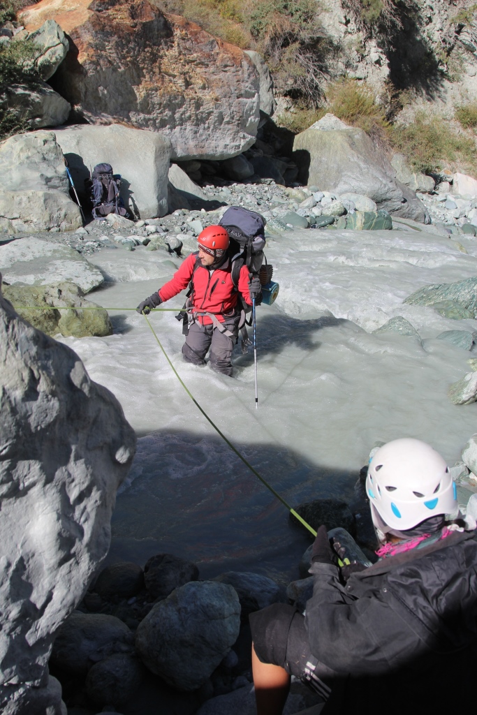
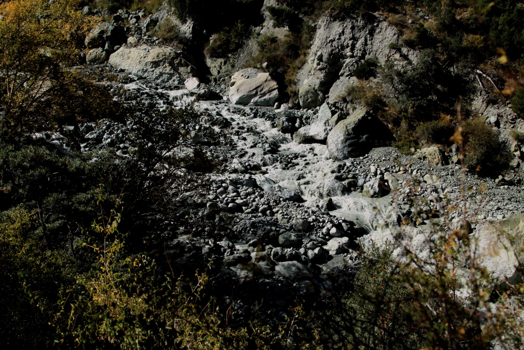
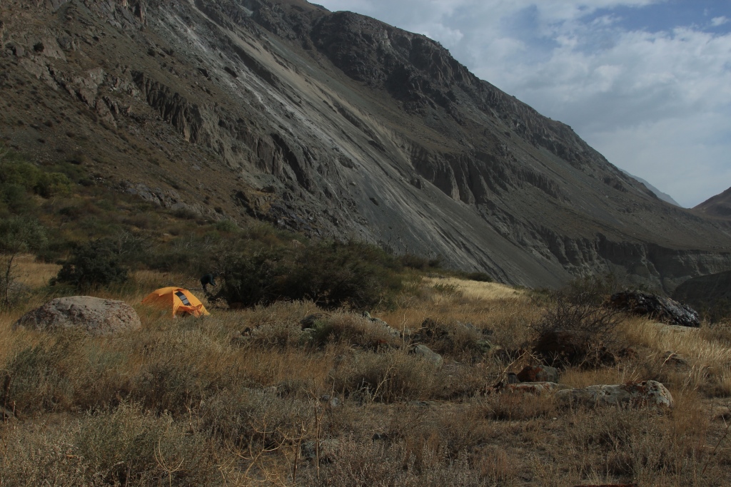
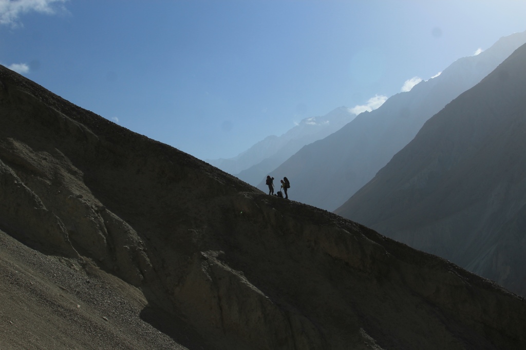
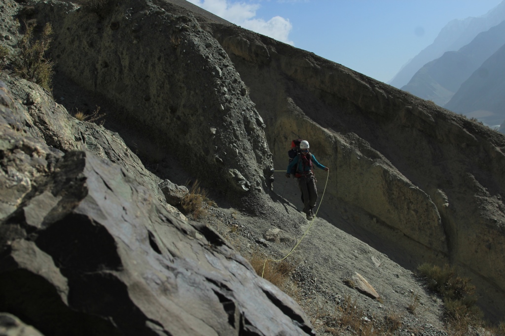
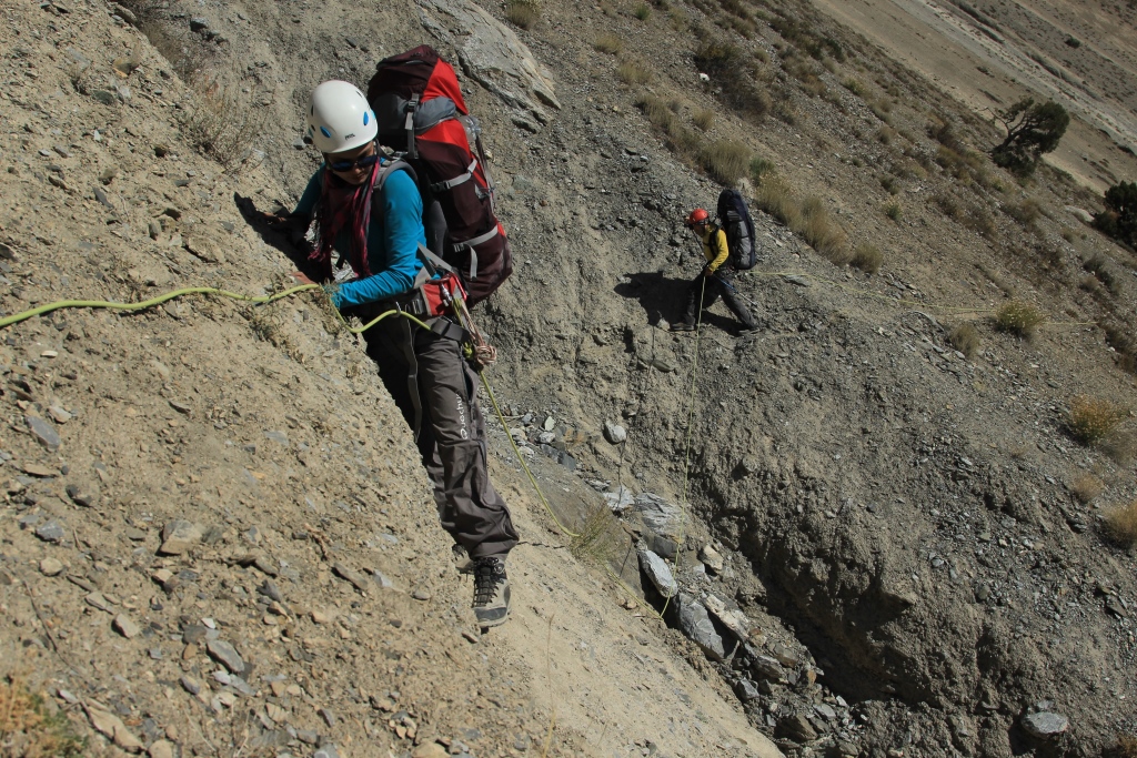
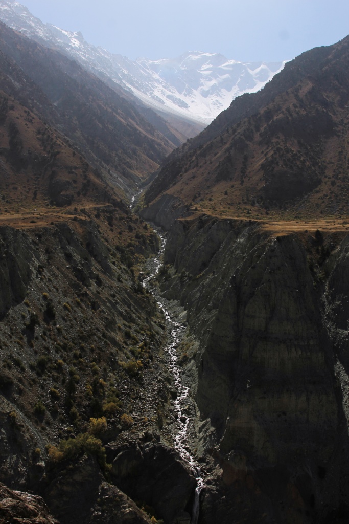
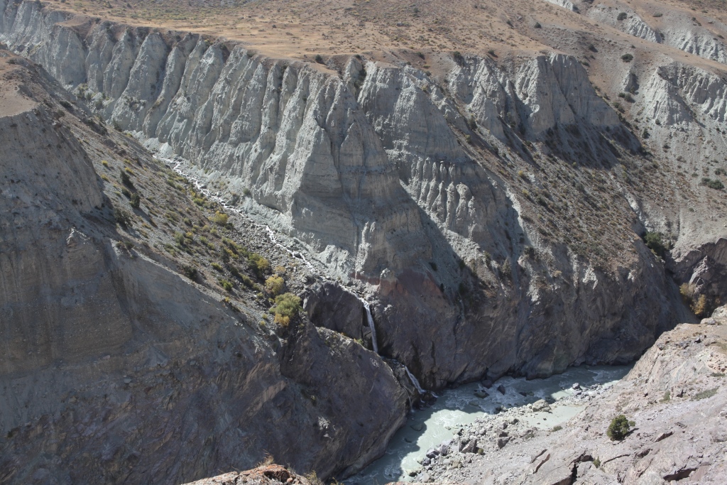
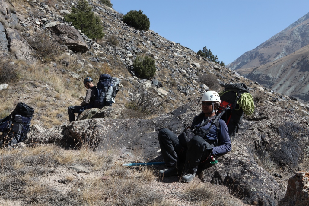
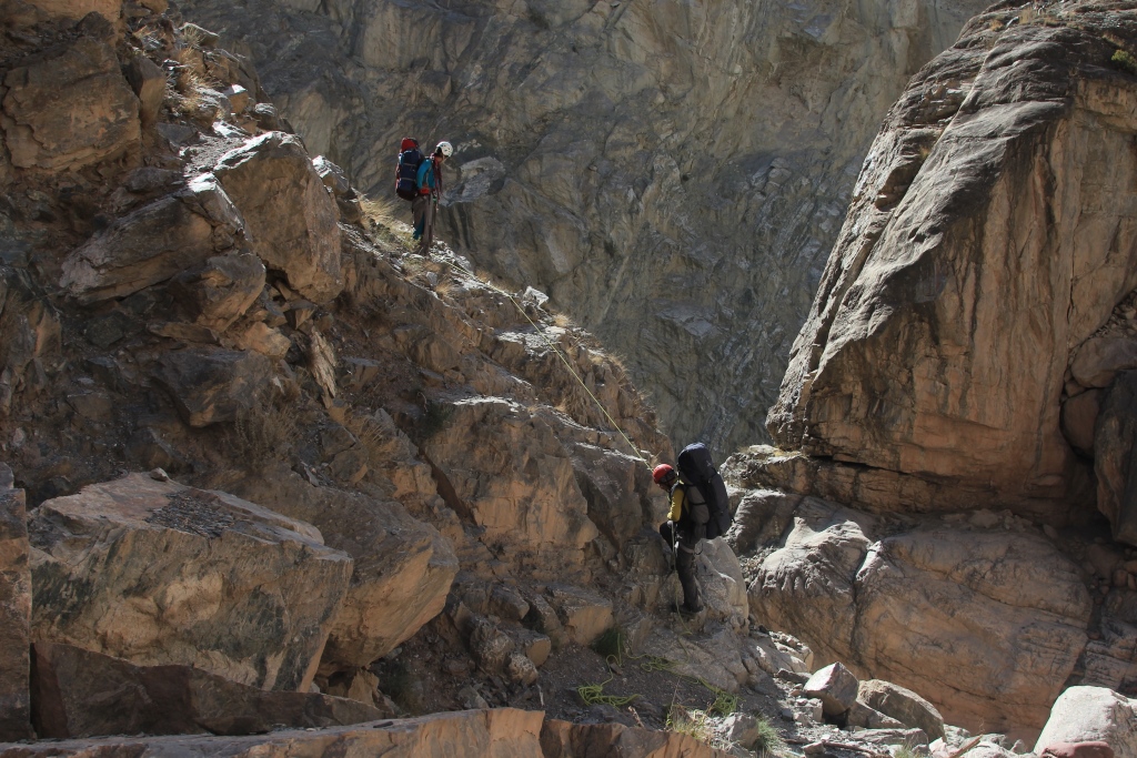
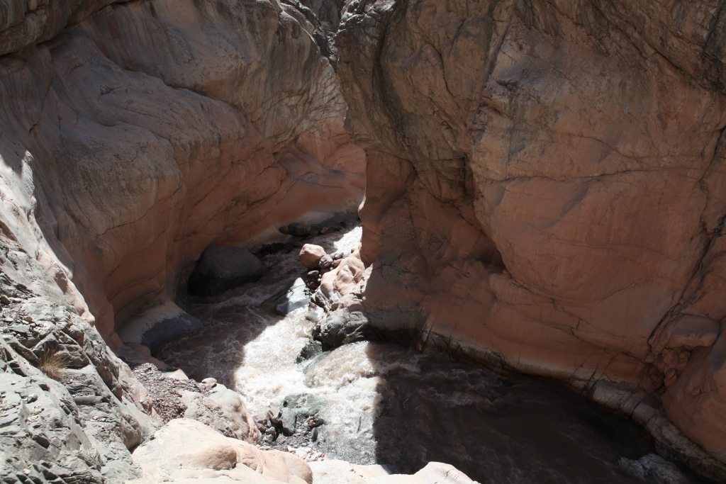
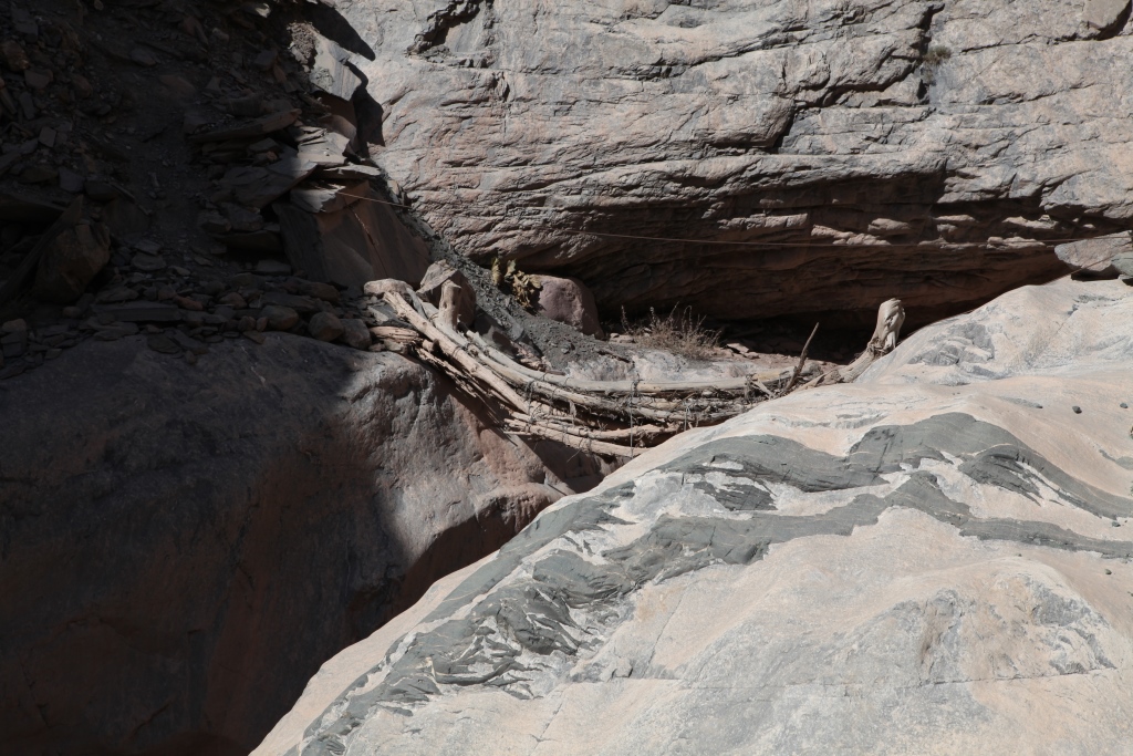
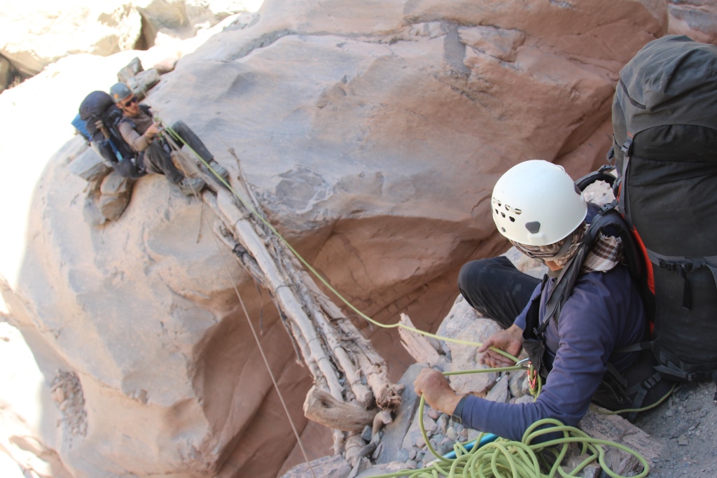
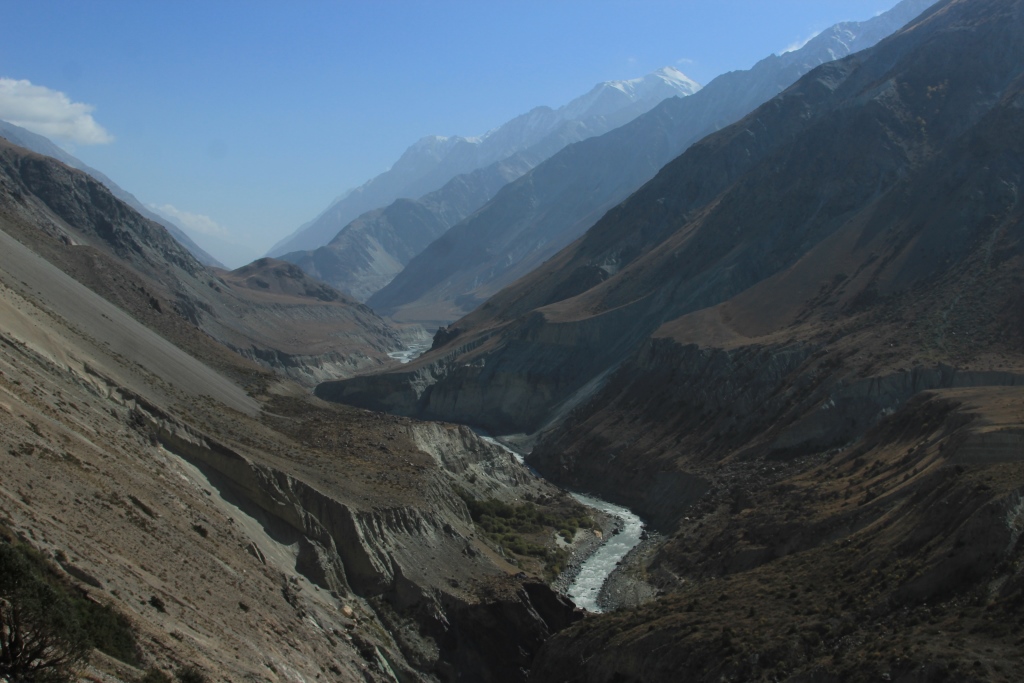
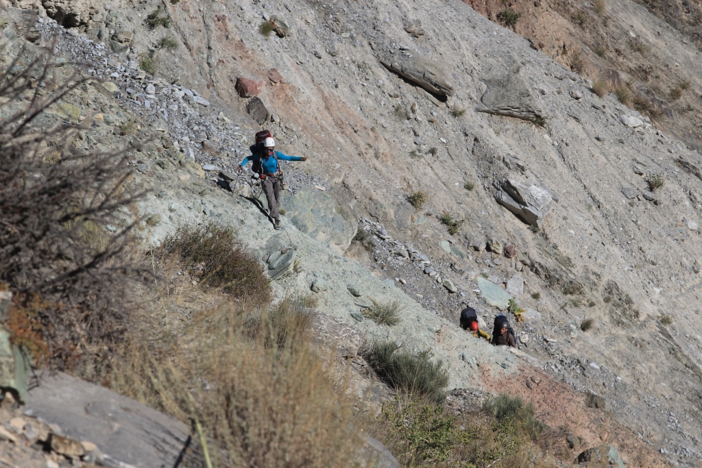
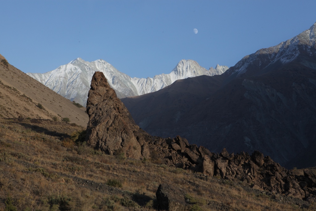
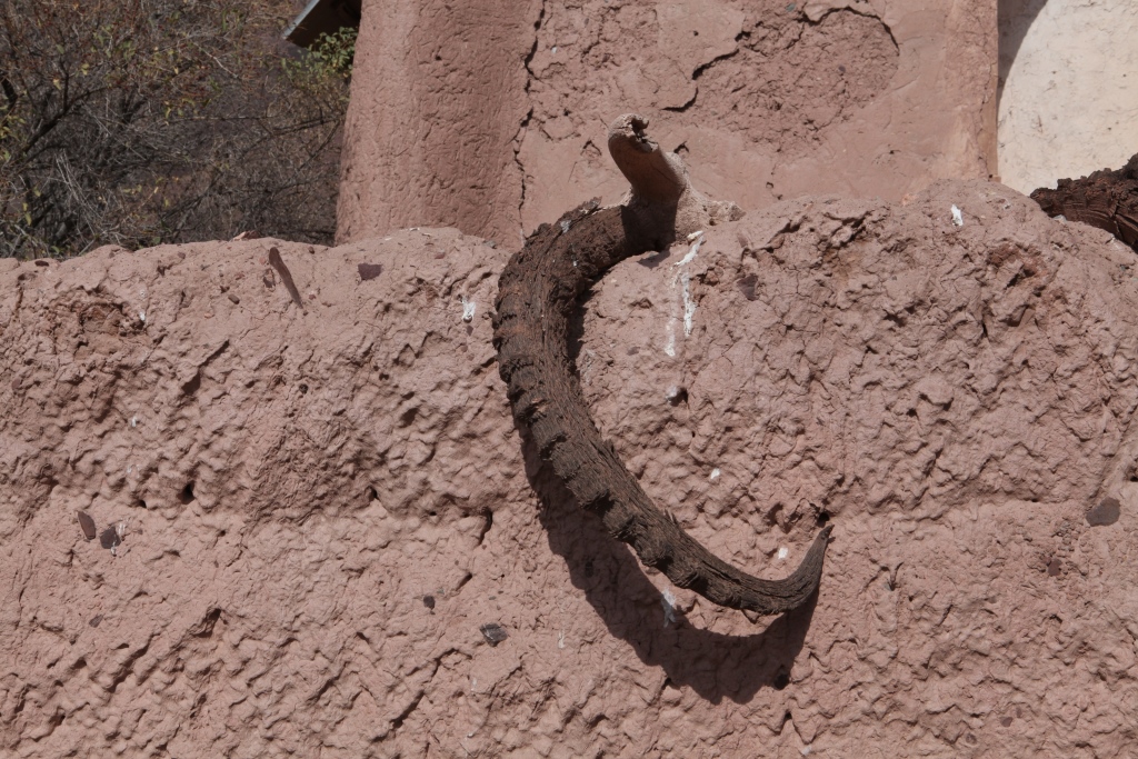
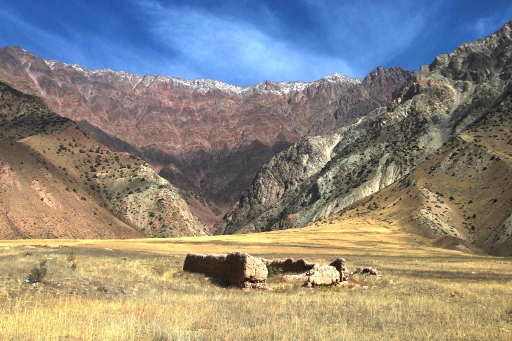
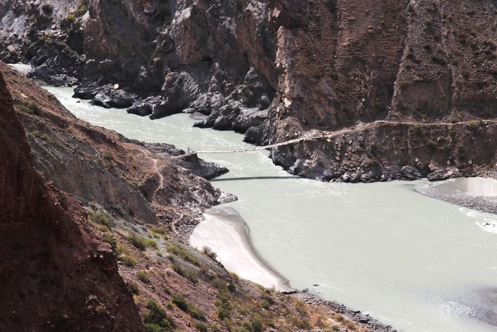
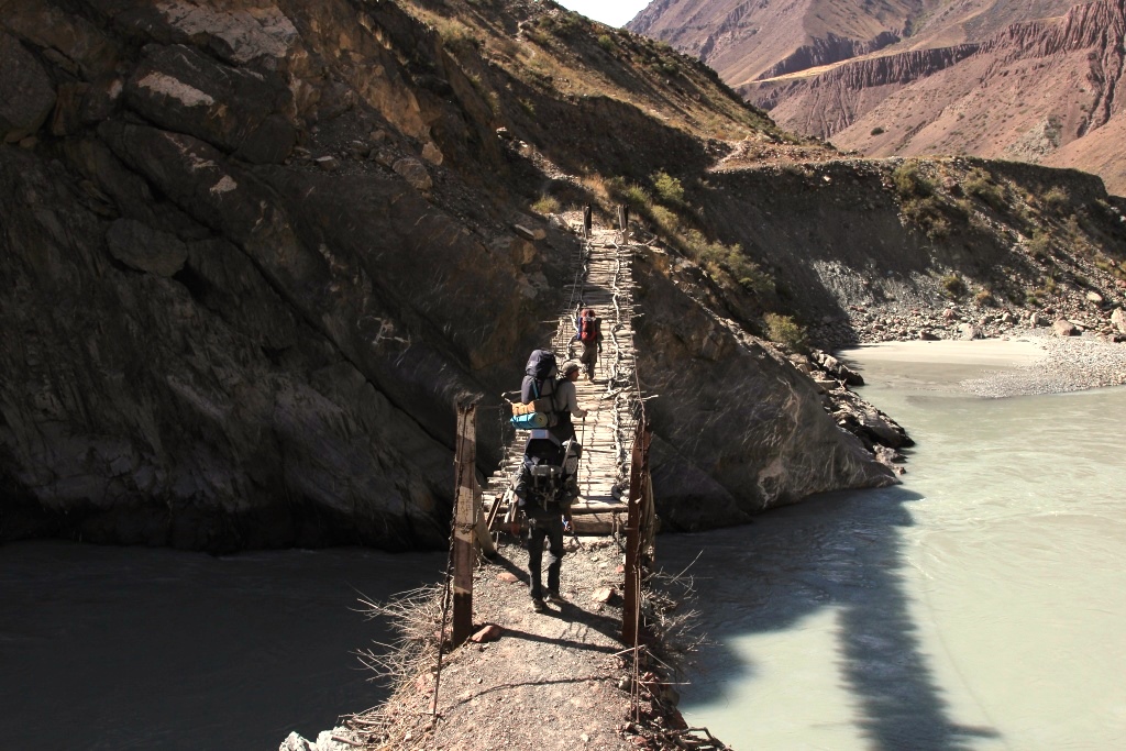
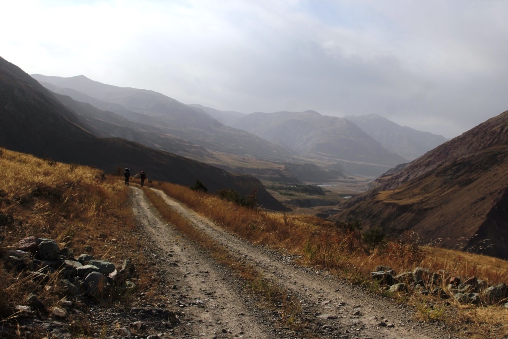
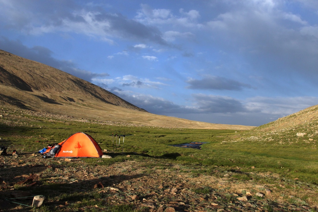
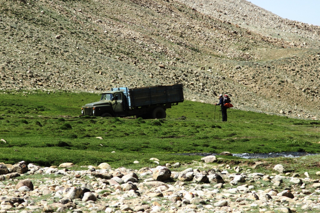
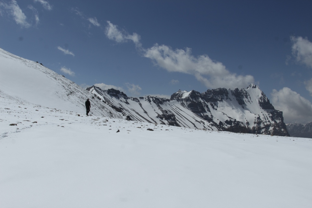
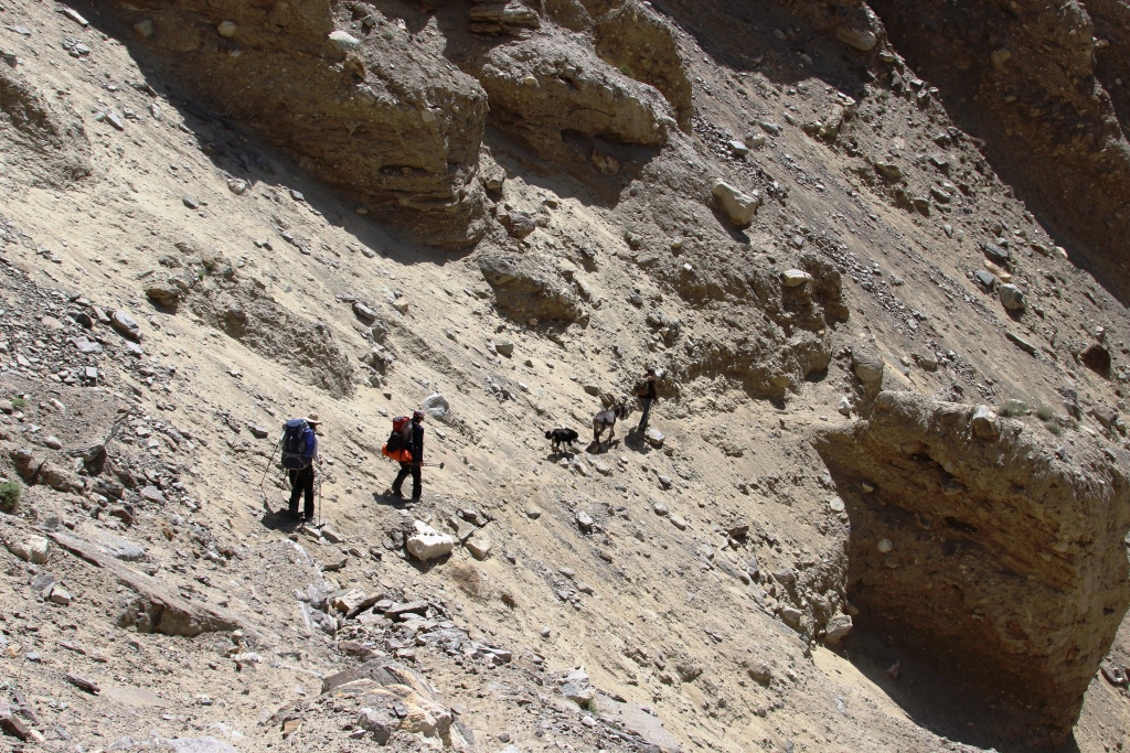
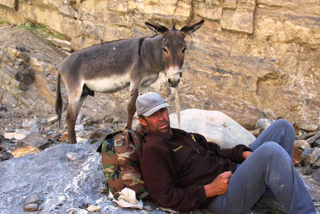
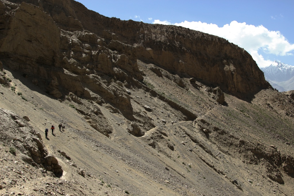
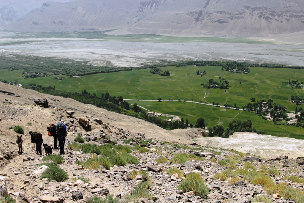
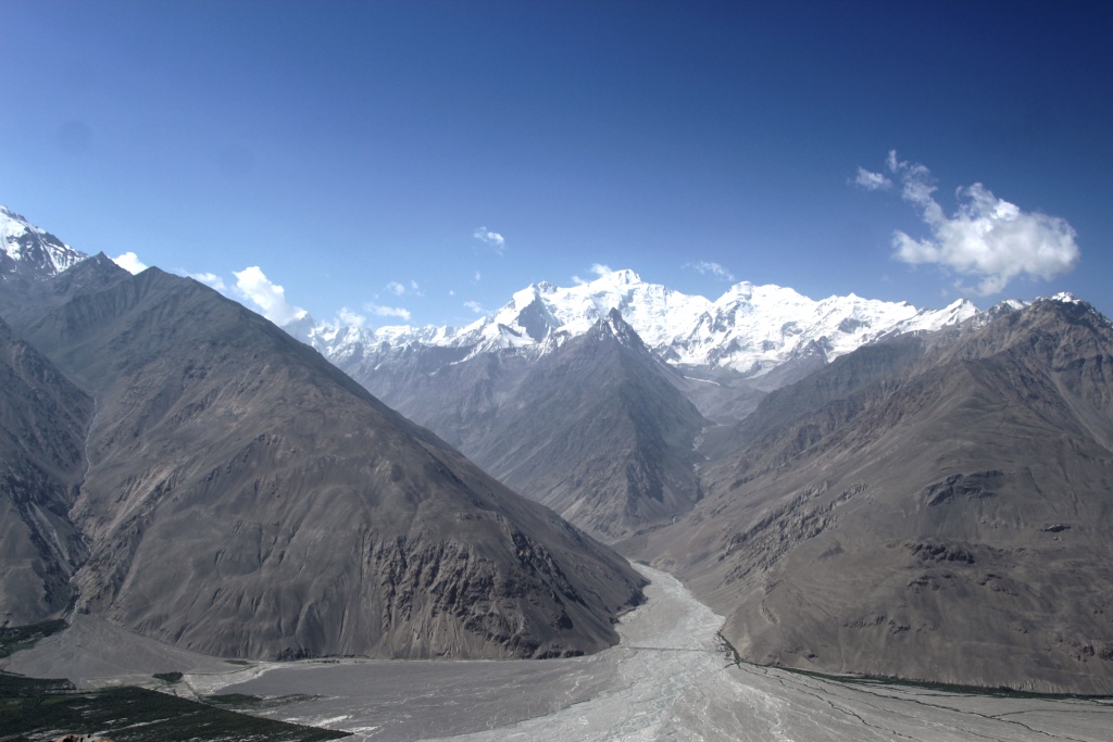
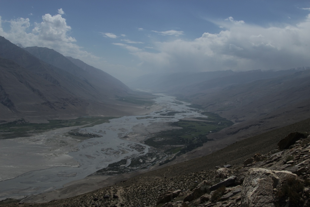
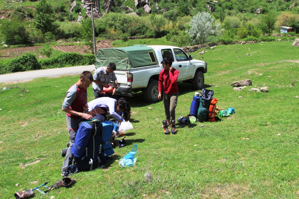
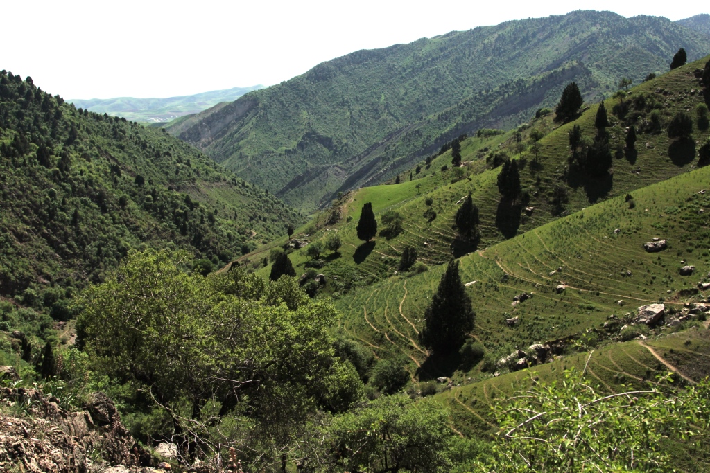
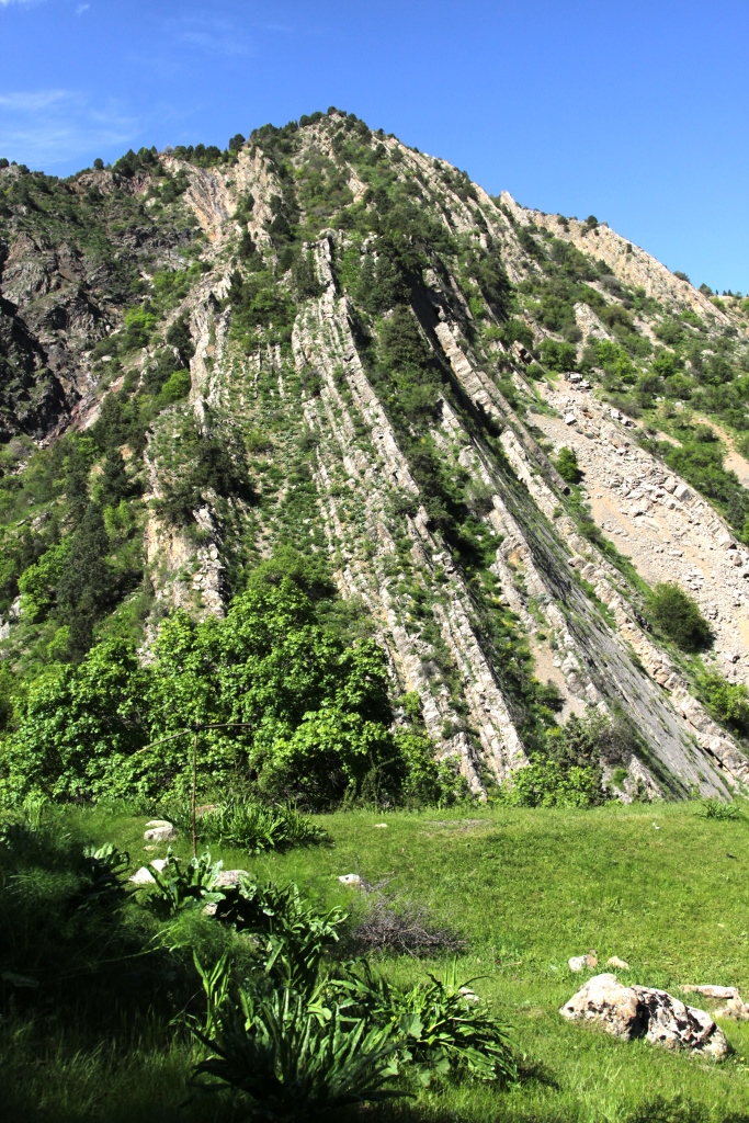
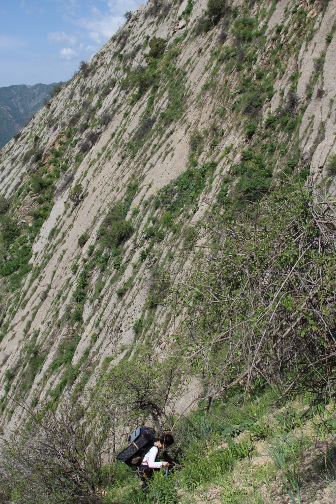
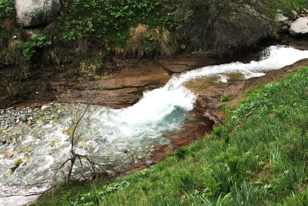
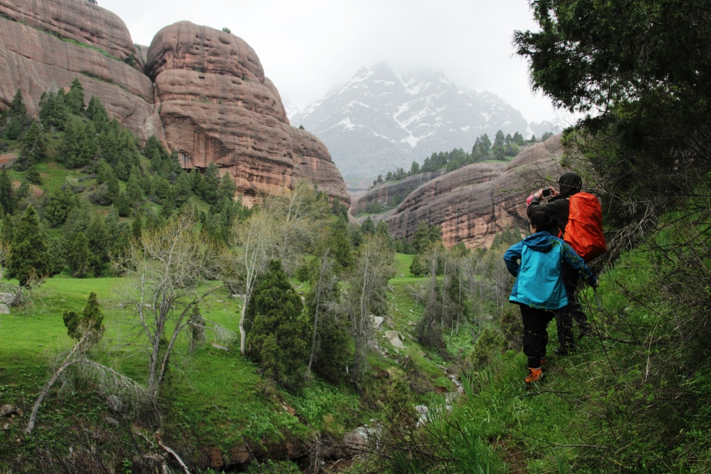
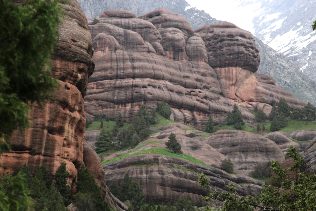
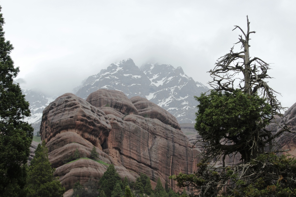
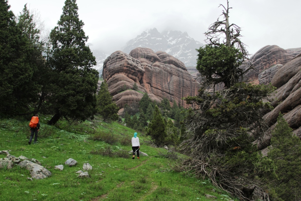
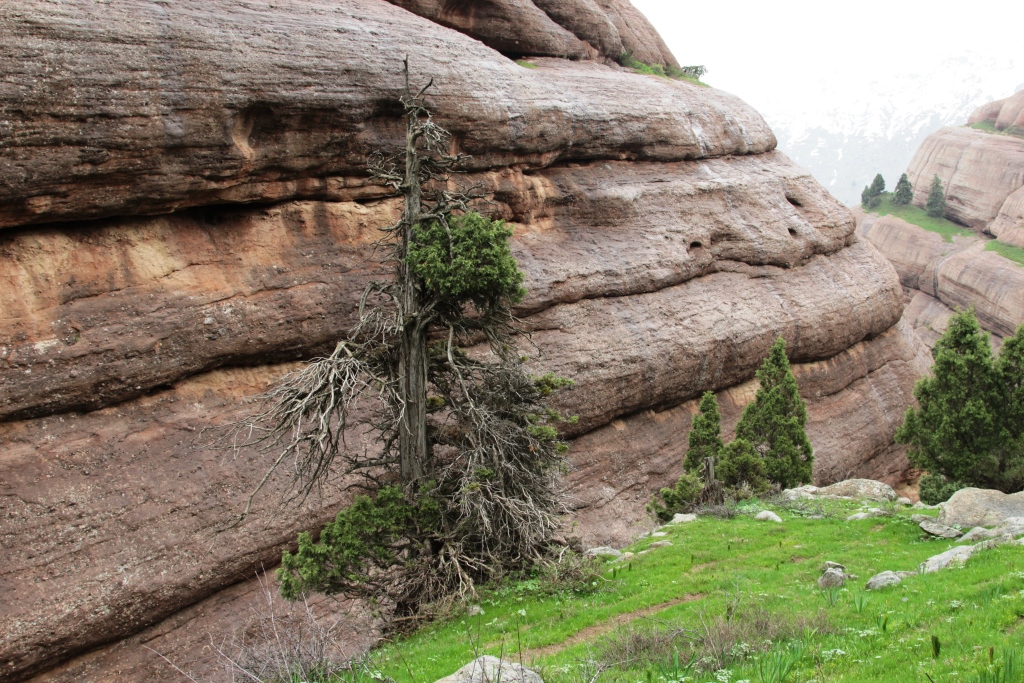
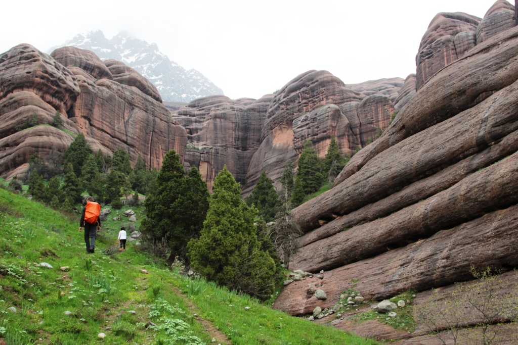
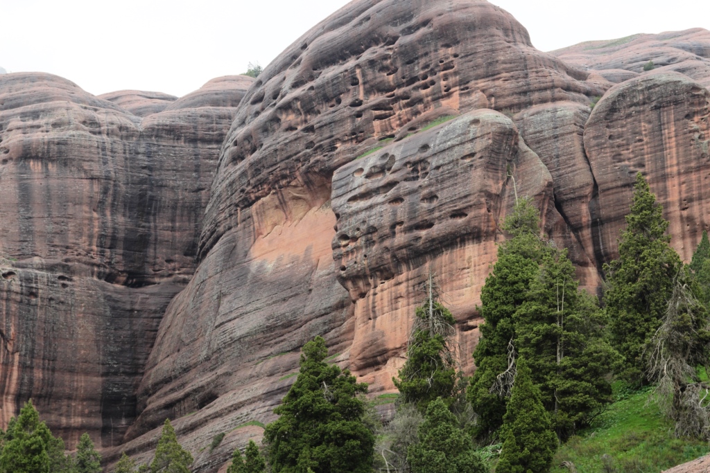
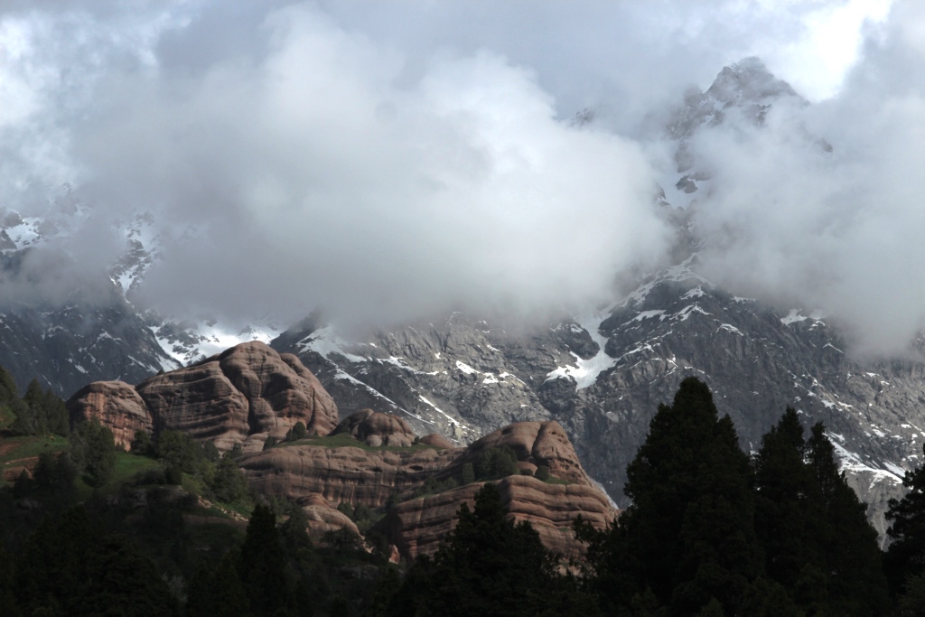
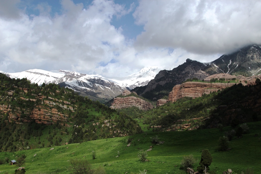
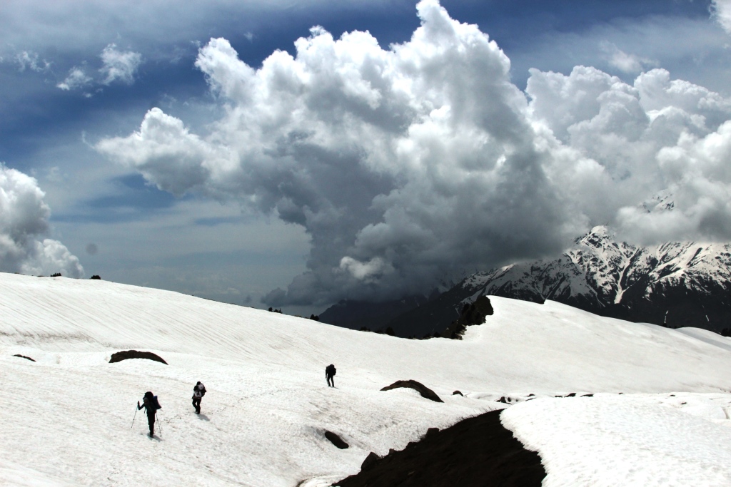
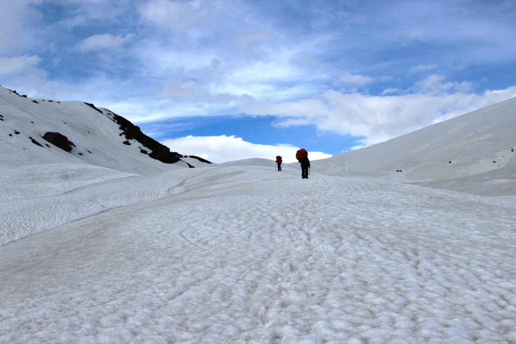
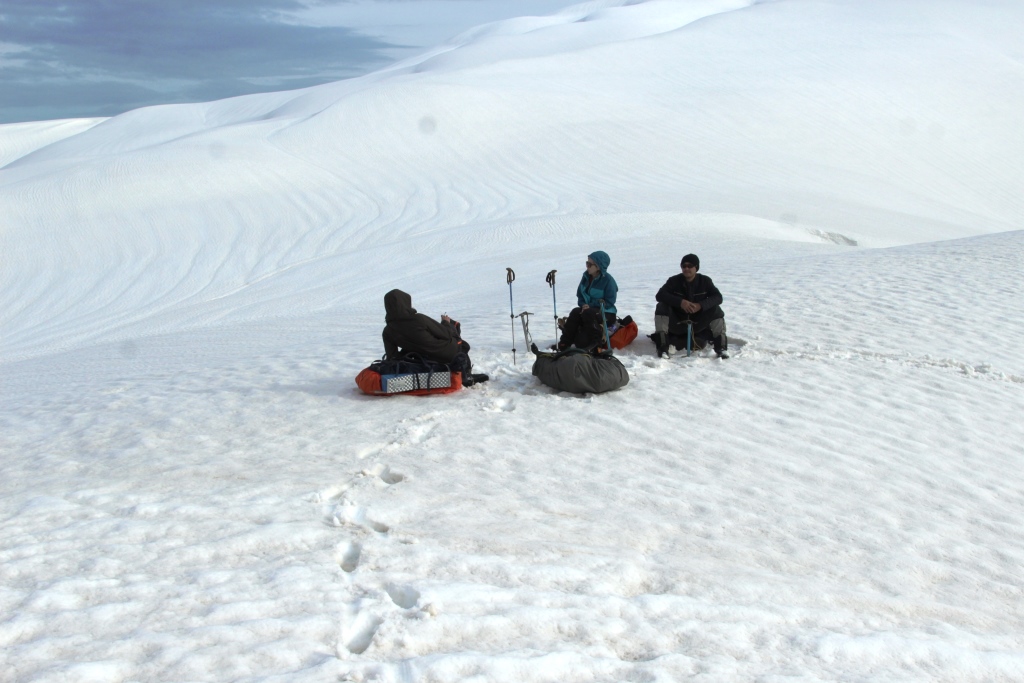
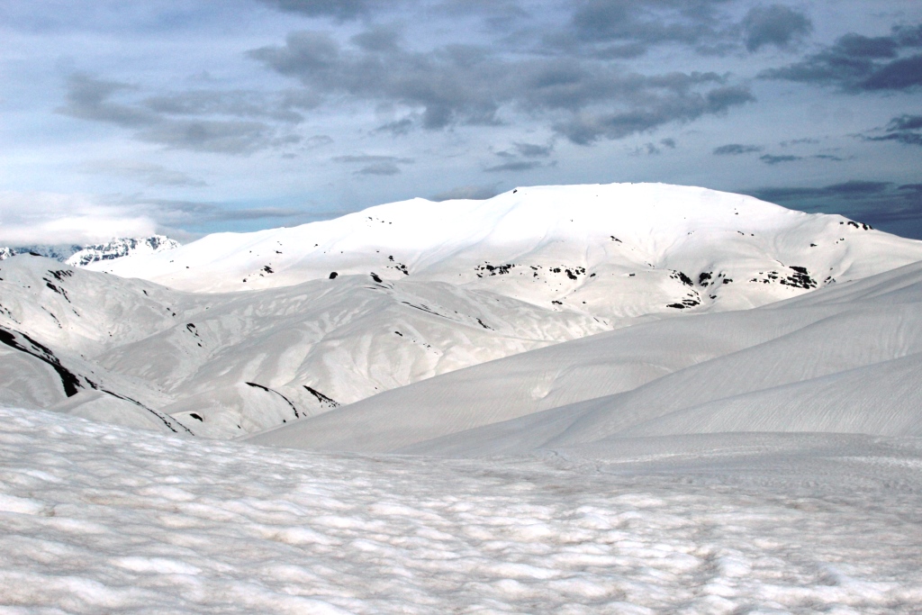
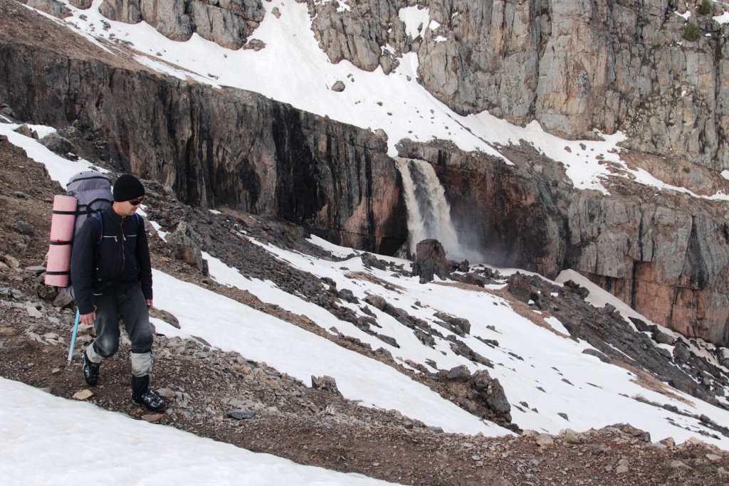
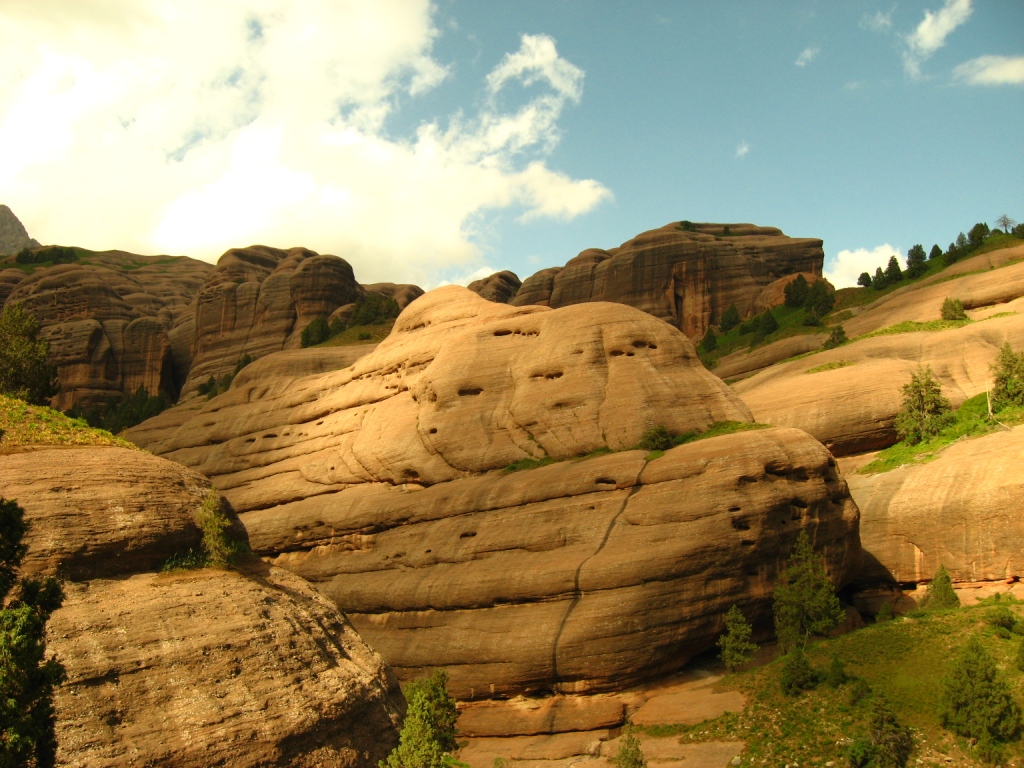
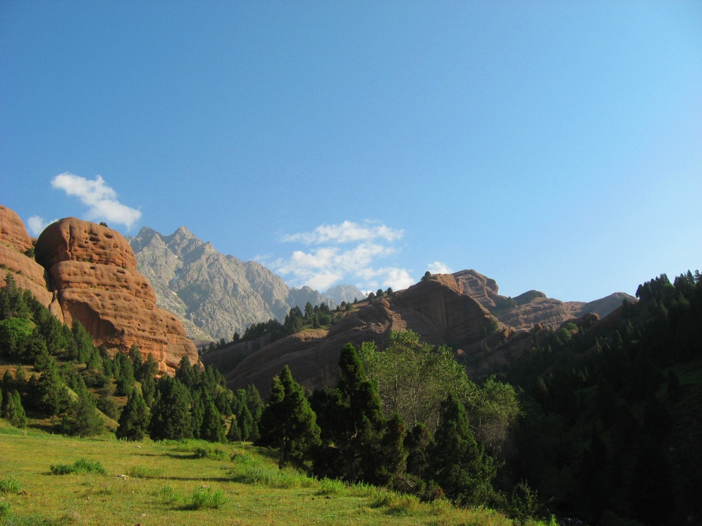
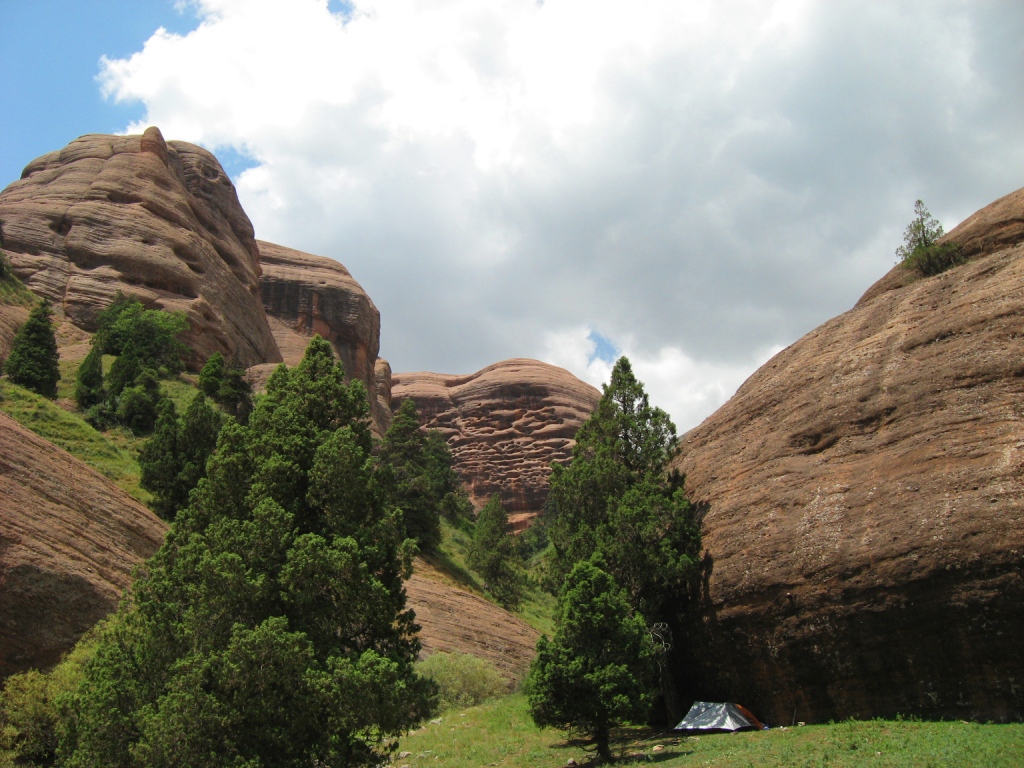
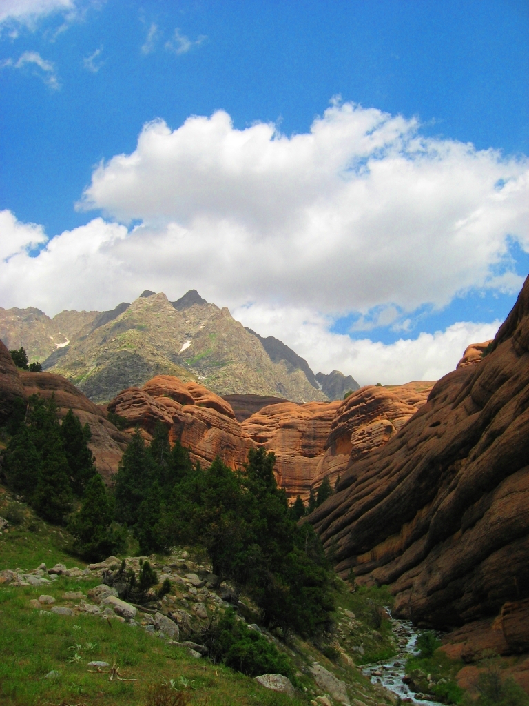
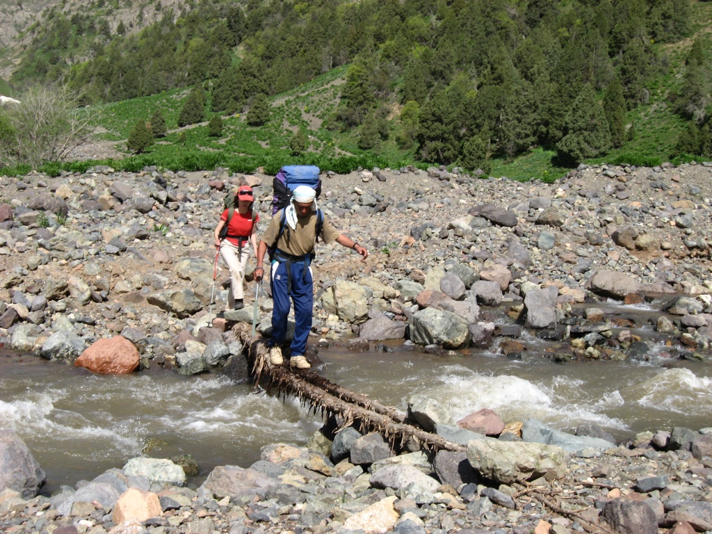
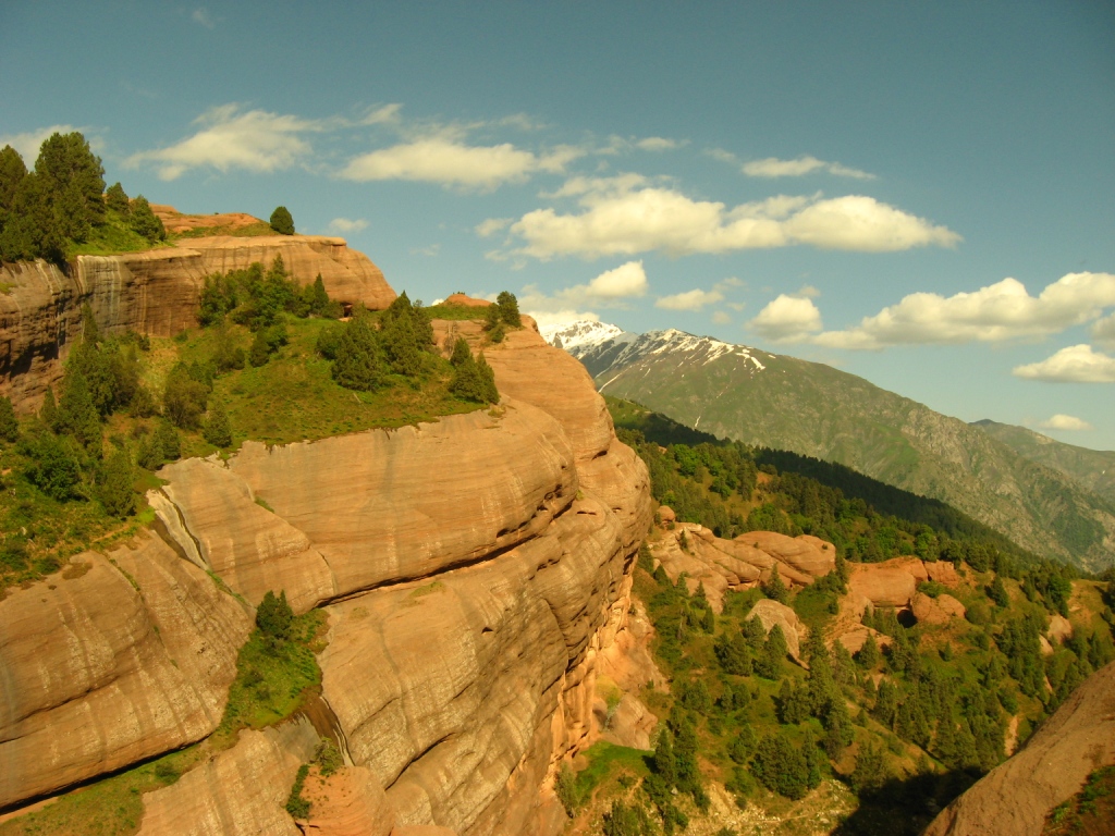
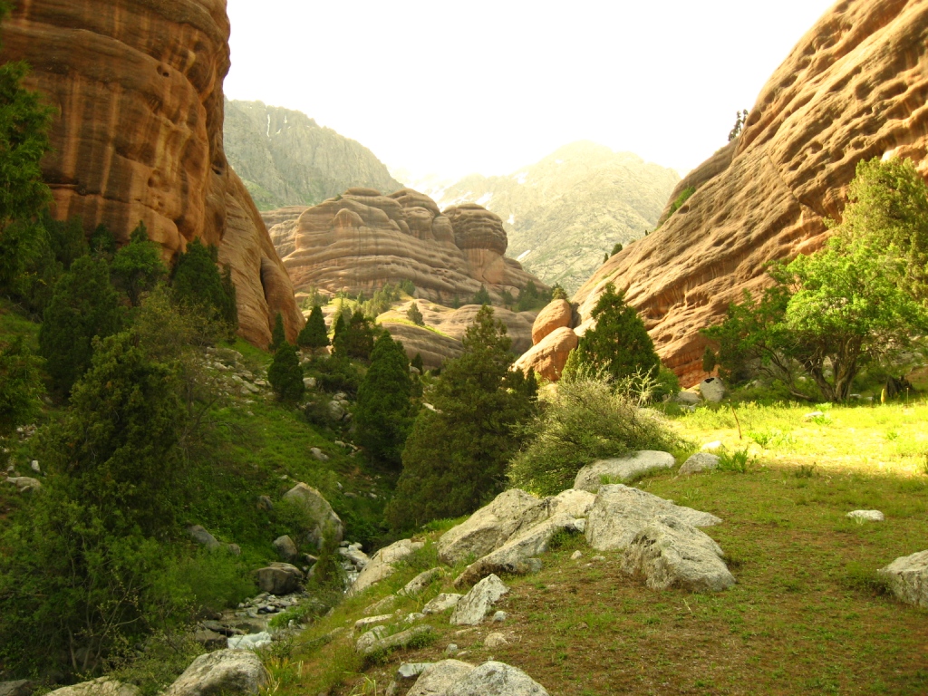
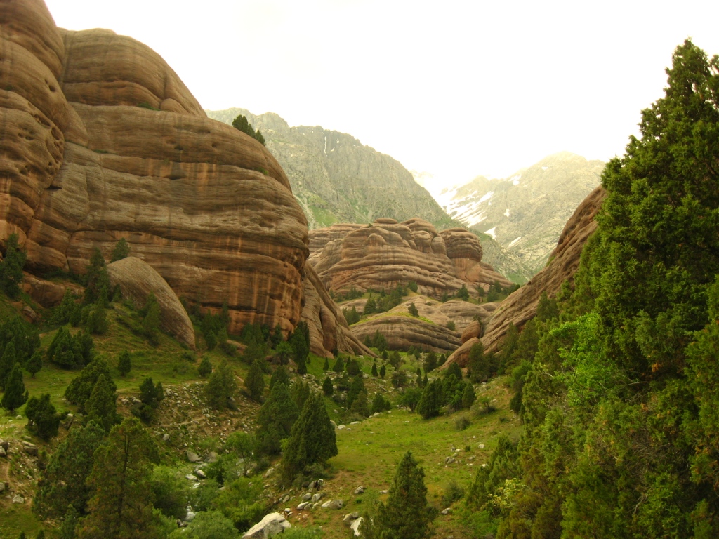
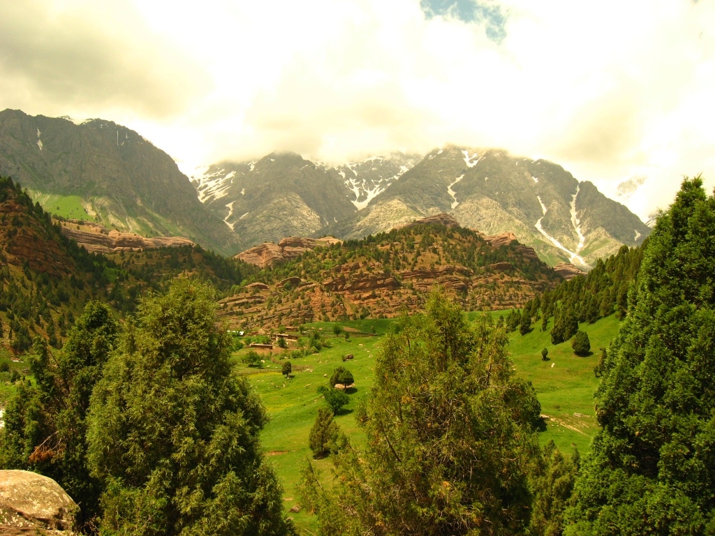
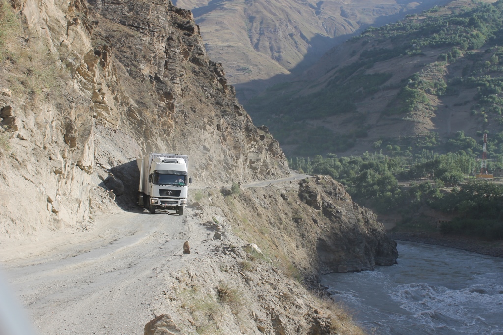
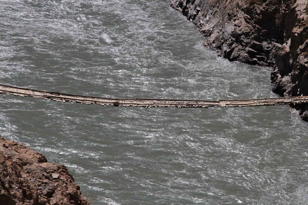
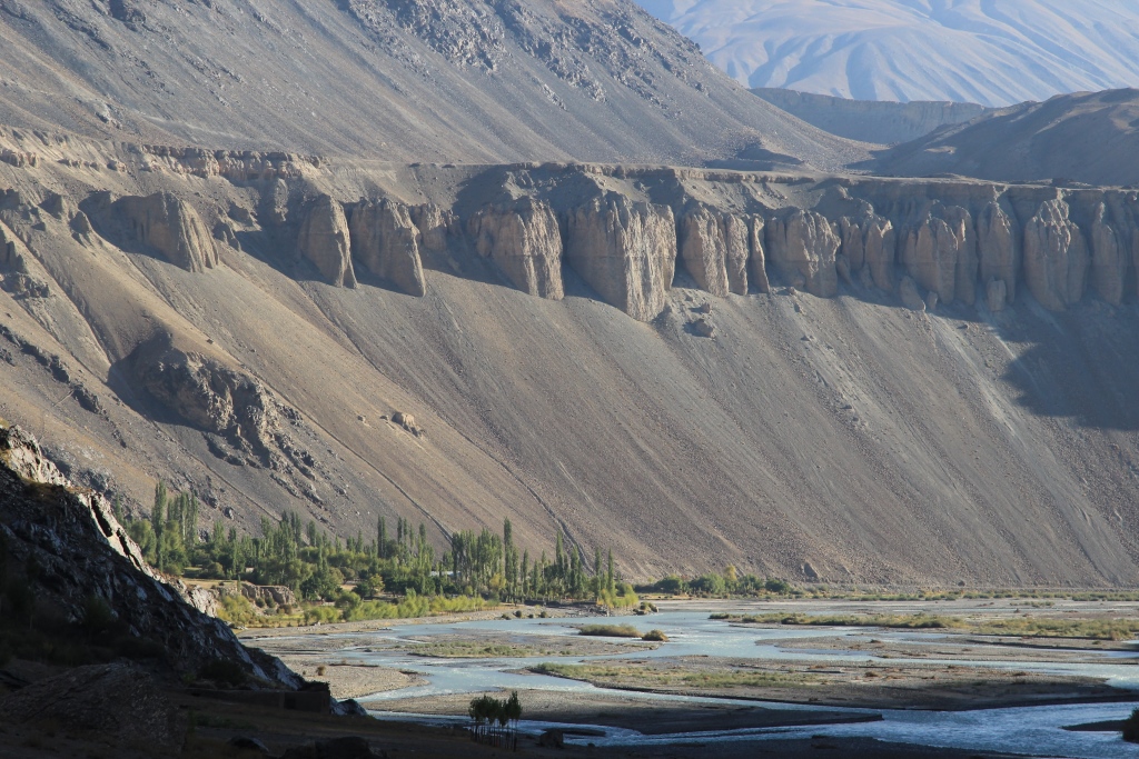
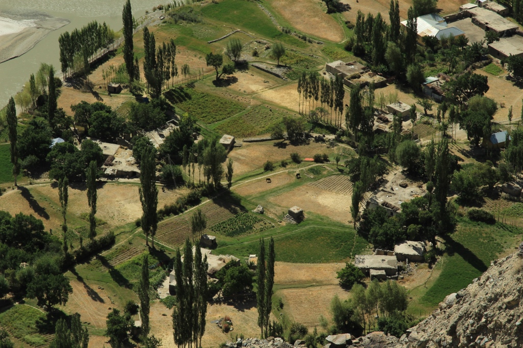
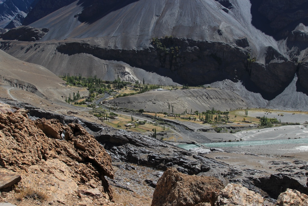
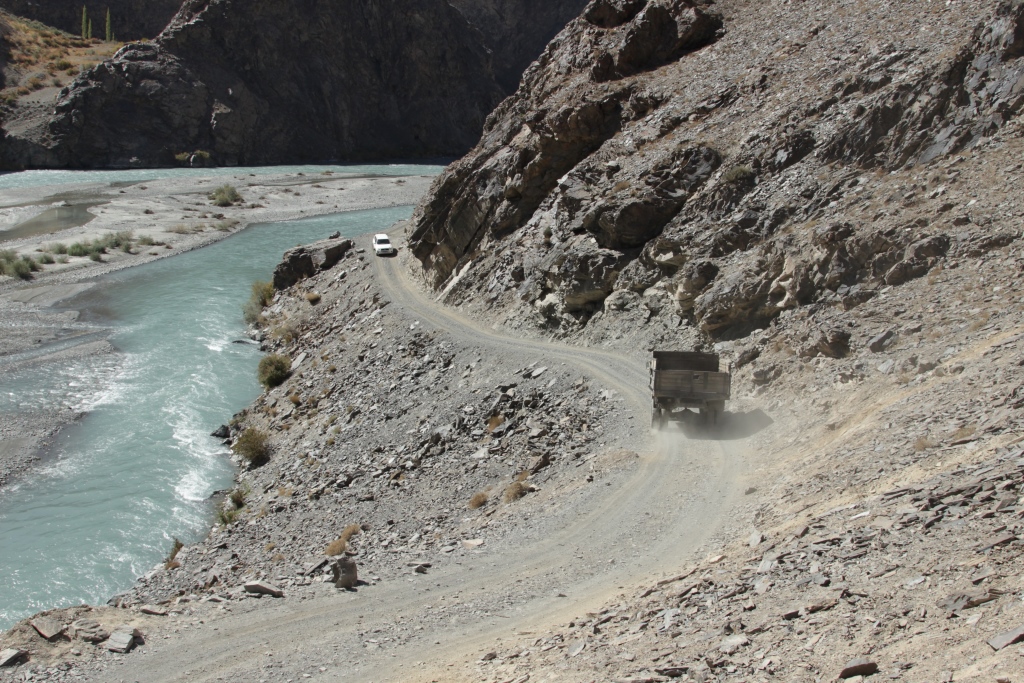
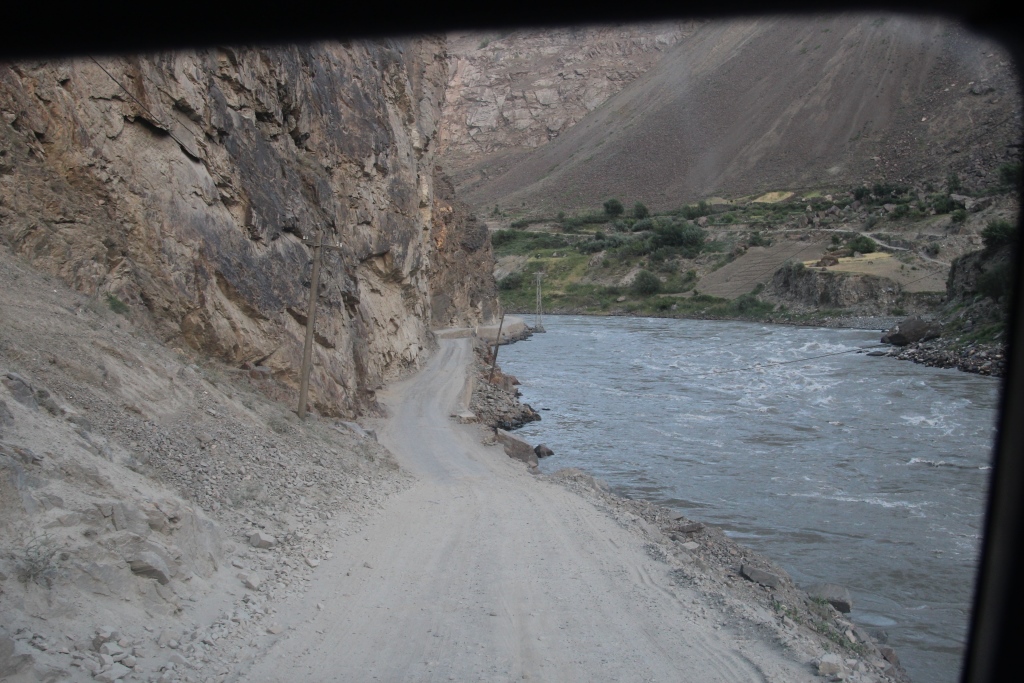
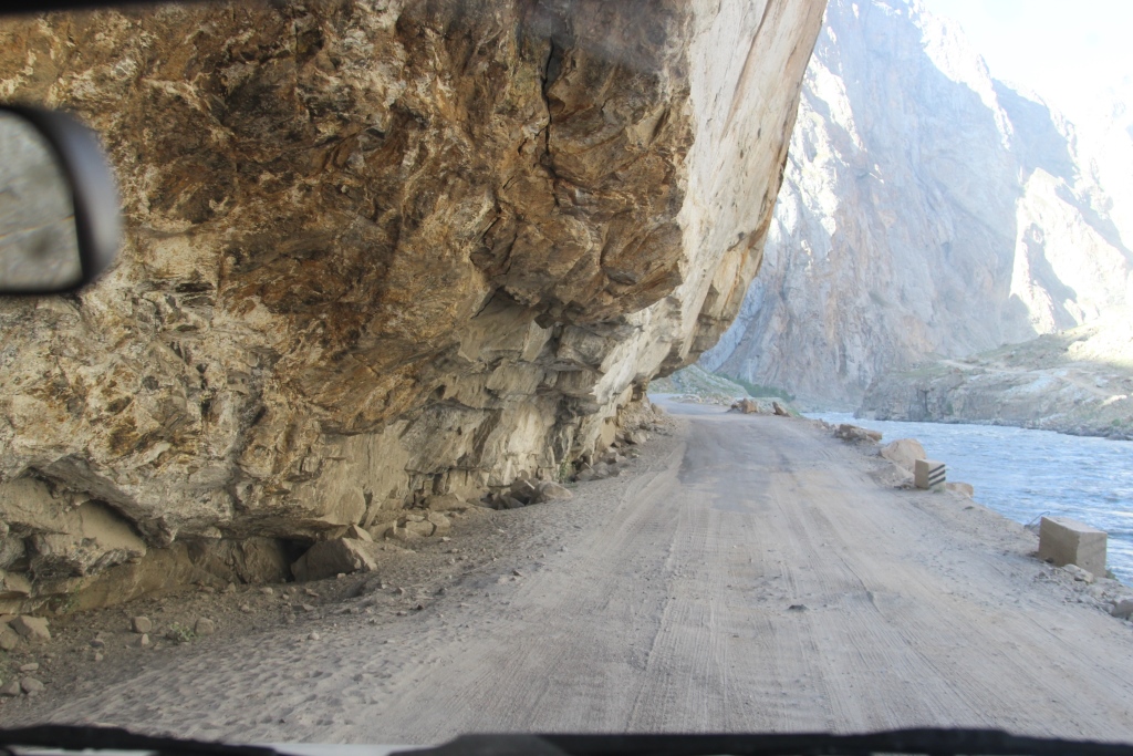
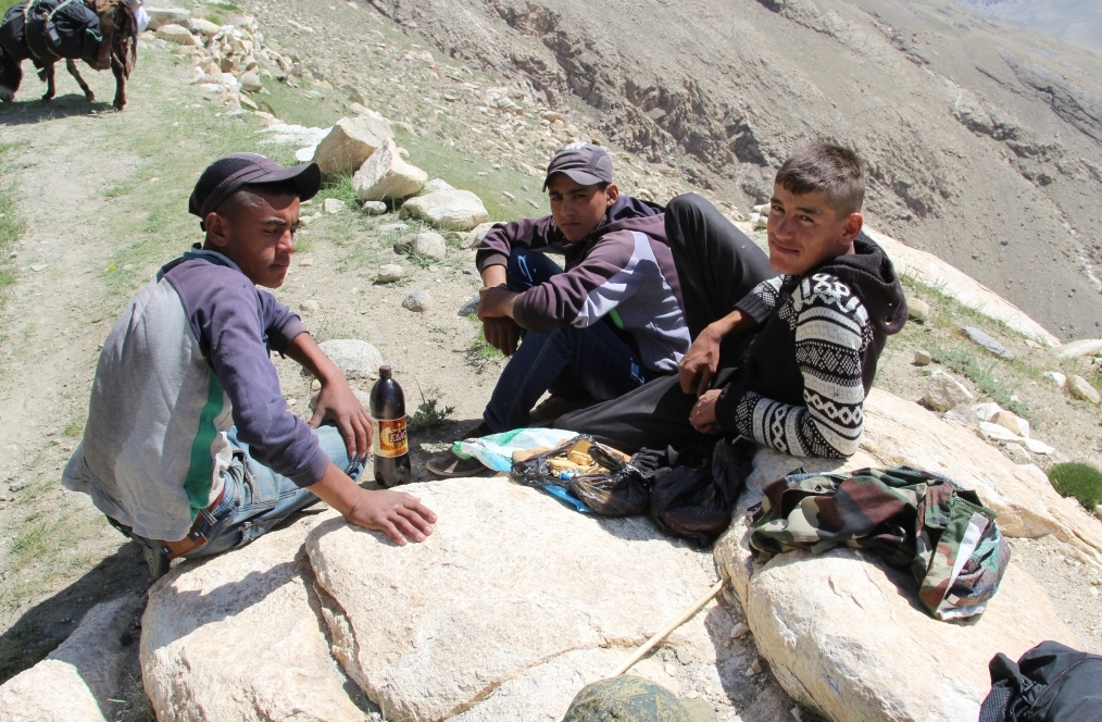
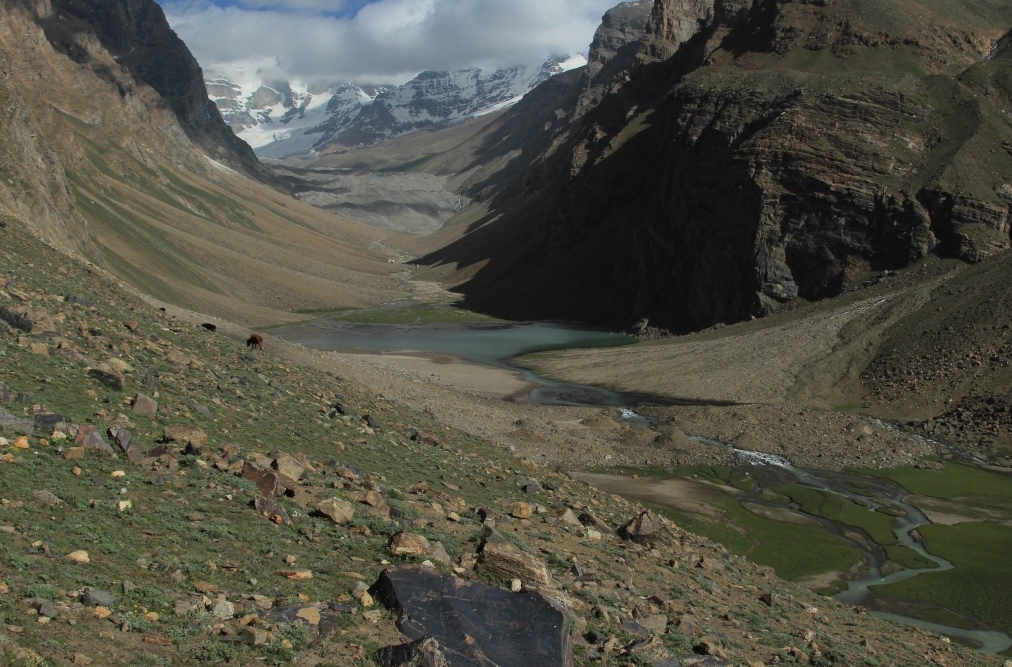
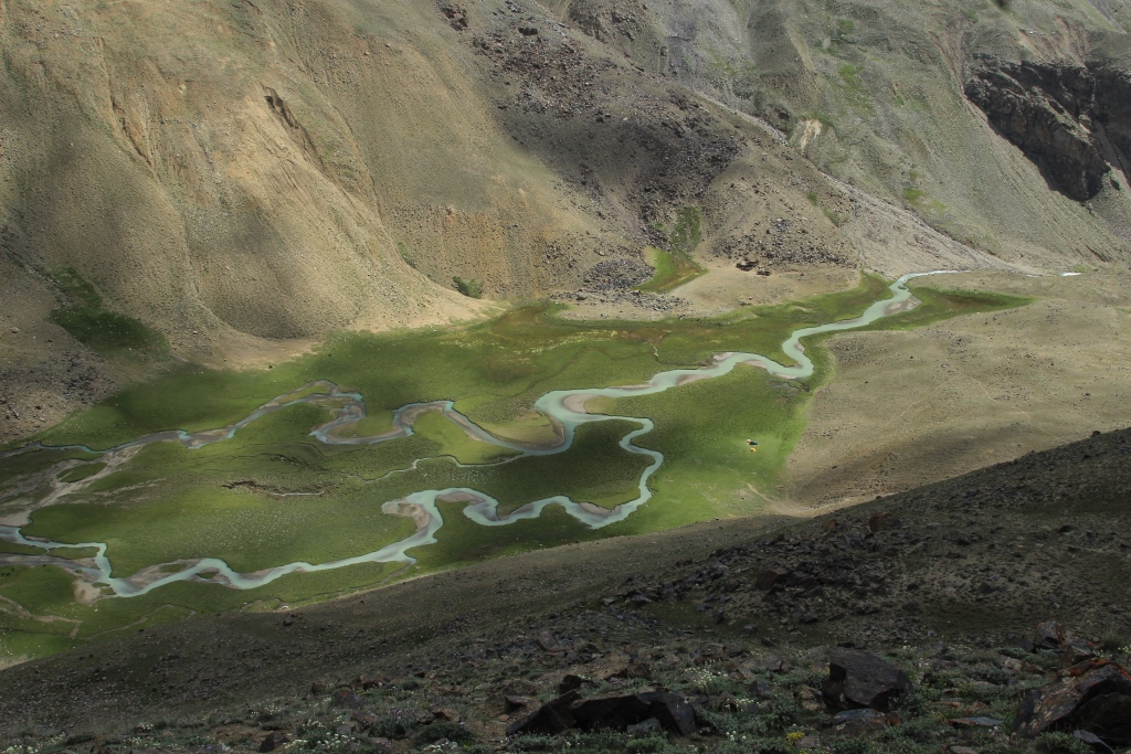
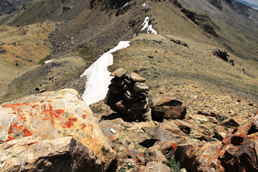
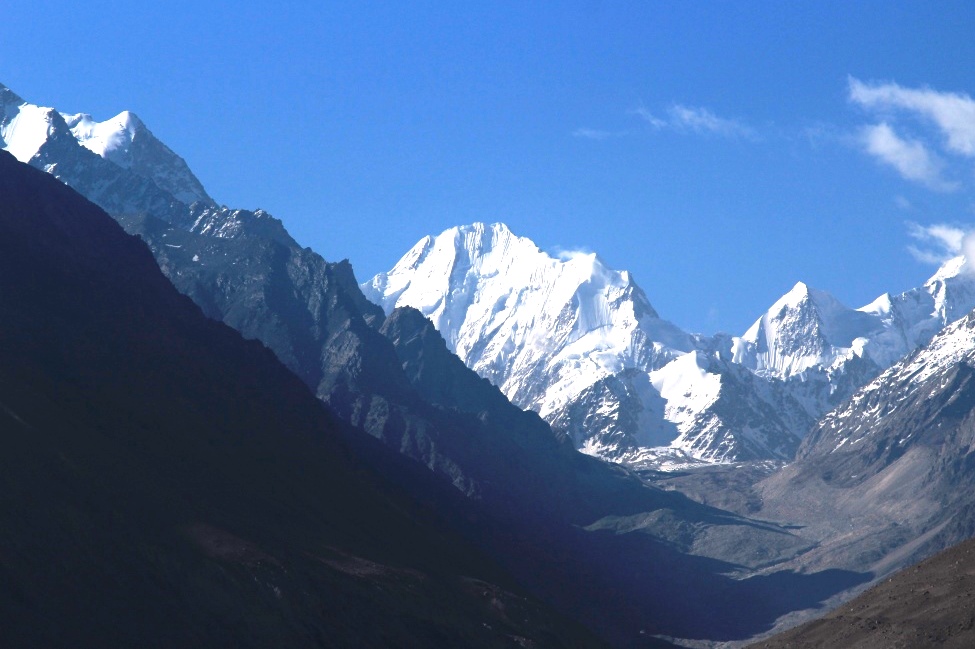
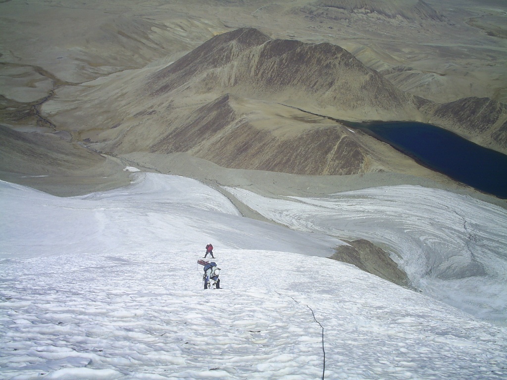
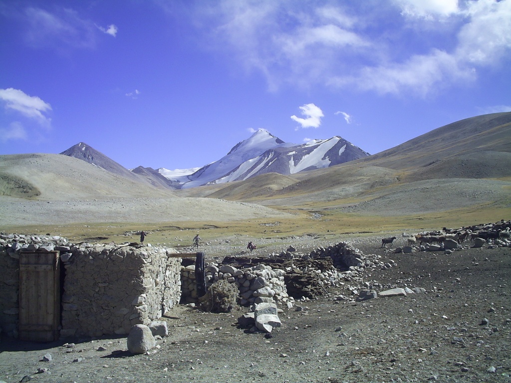
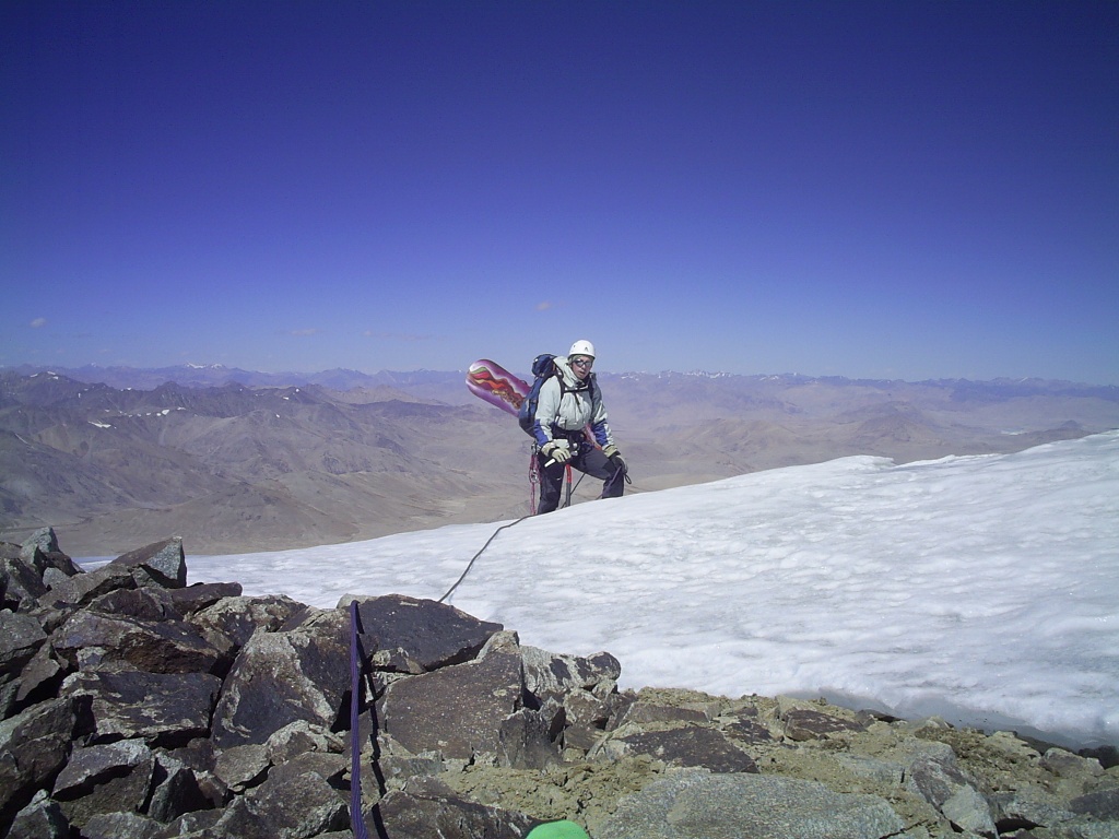
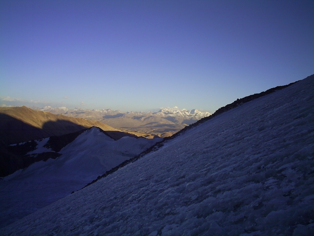
The Muksu river originates from glaciers Fedchenko and Big Saukdara. This is one of those places that are on the «edge of the world». This year our team was fortunate enough to visit in the area. Our journey started in the village Depar, Rajskogo district and then along the Ridge of Peter the great through the pass, Belcando 3339 m, valley Sugran, pass Irget 1B 4400м (Irgy,Redhead,Roundabout) pass Tamasha 3600m, valley Hadarcha. This route is used by climbers to get to the base camp «Moskvin’s glade» under peak I. Somoni. Because of fresh snow on the passes, we returned back along the trail running along the right Bank of the Muksu river, on the road of the gold seekers. Here it is necessary to add! This way objectively dangerous path of constantly falling stones, sometimes the road disappears in the case of bad weather not passable. Obviously when the earlier, the valley was inhabited along the river Muksu often come across almost vanishing traces of human habitations, bridges, and trails. The area is very beautiful and interesting, but accessible only for well prepared tourists.
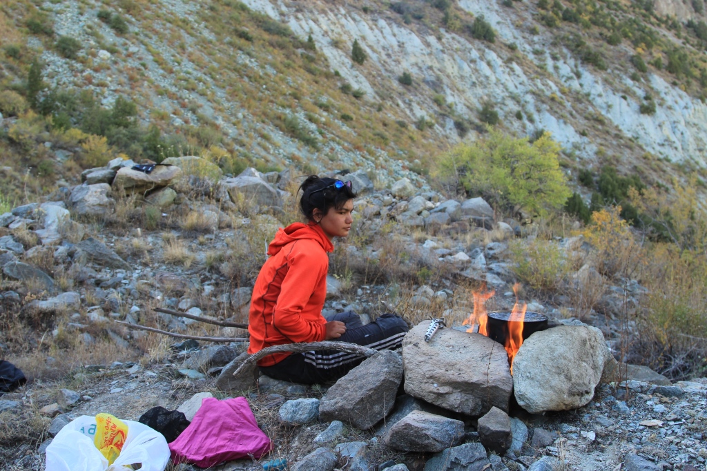
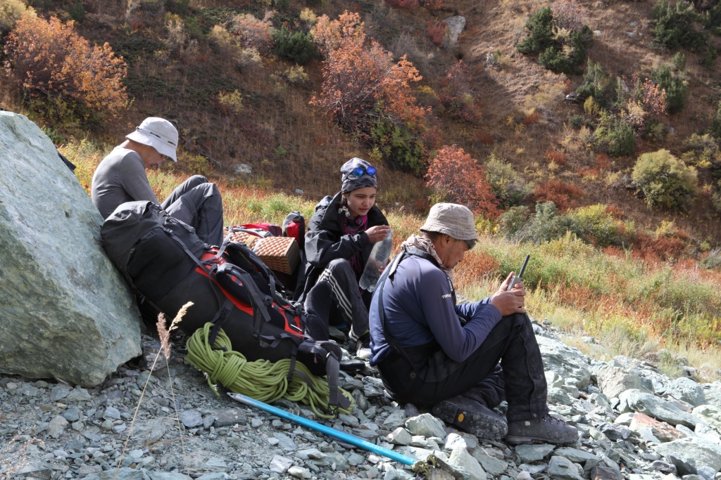
This tracking was attended by Maryam Sharipova,Anatoliy Sharipov, Nicolai Nomerotsky, Simon Krylov.
Photo; Anatoliy Sharipov, Nicolai Nomerotsky,
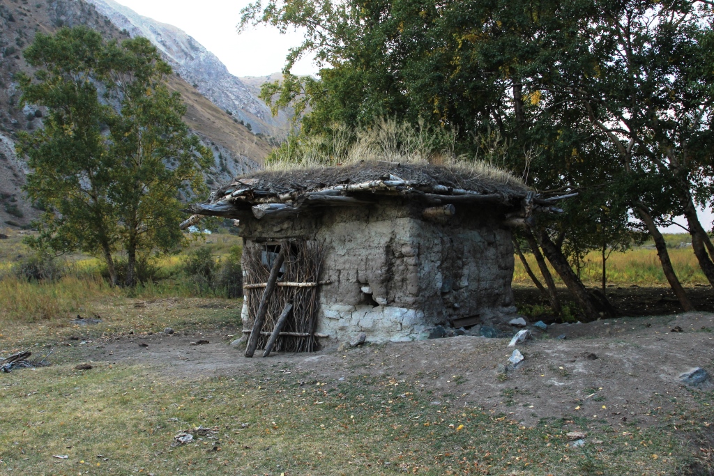
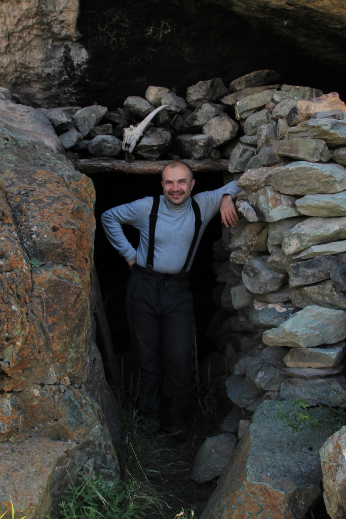
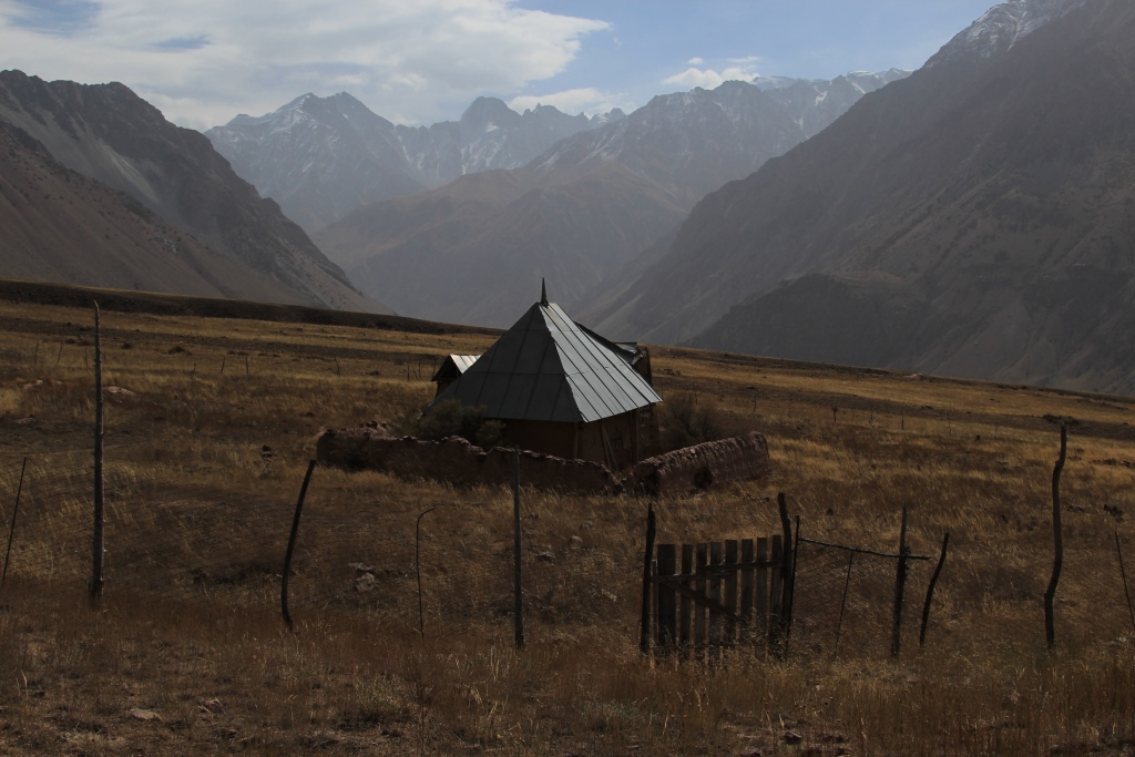
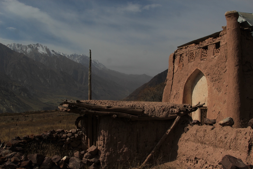
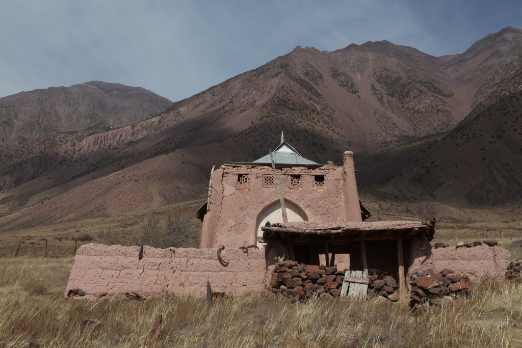
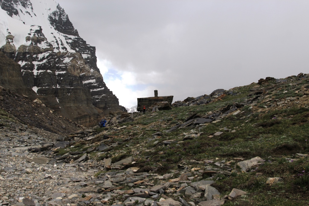
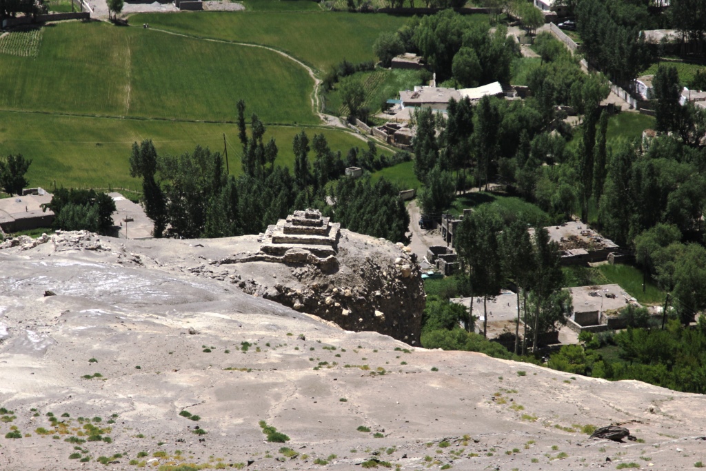
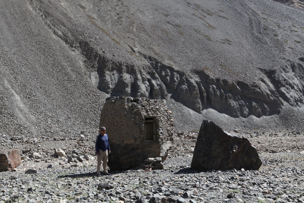
Addition to pictures 27 and 31 House Gursky.
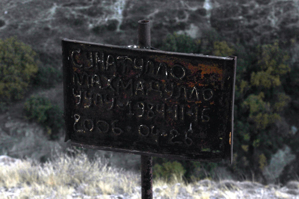
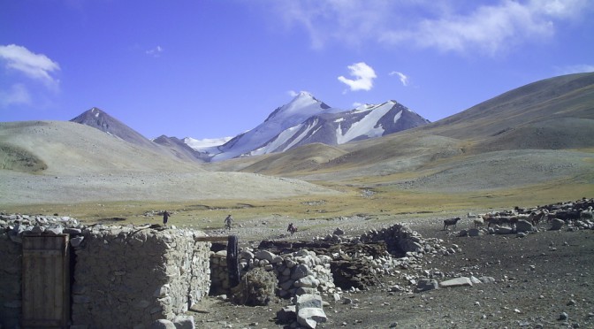
House Gursky. A story with a sad end. In the 80-ies of the last century, the «a» named Nicholas Gursky decided to save humanity or the part coming from the nuclear end of the world new flood and so on. Of divinely Inspired books, he concluded that Sugran is the place where he sailed away on Noah’s ark. He attracted people, especially women with difficult fate. In one of the winters he went to Moscow to write a book, and Sugran left one woman with two boys 6 and 11 years, they had a goat but it ran off. They remained without food. As soon as it became a little warmer, tried to reach out to people, but died during the journey The bodies were discovered by helicopter pilots flying over the pass Belcando. The story of the community «New ark» ended.
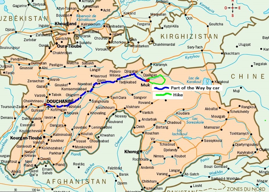
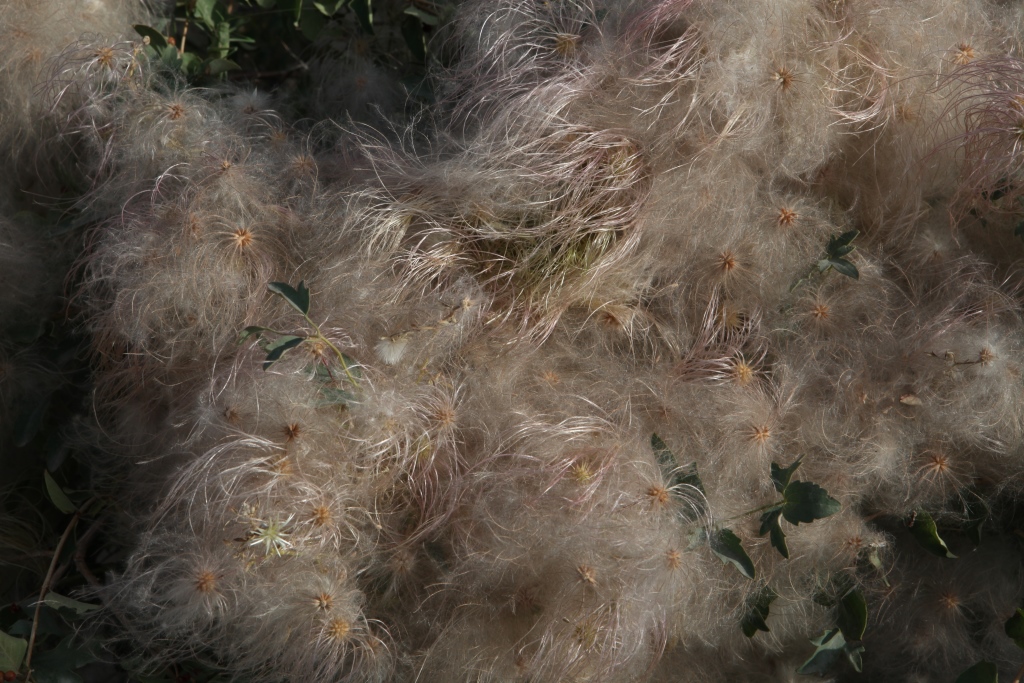
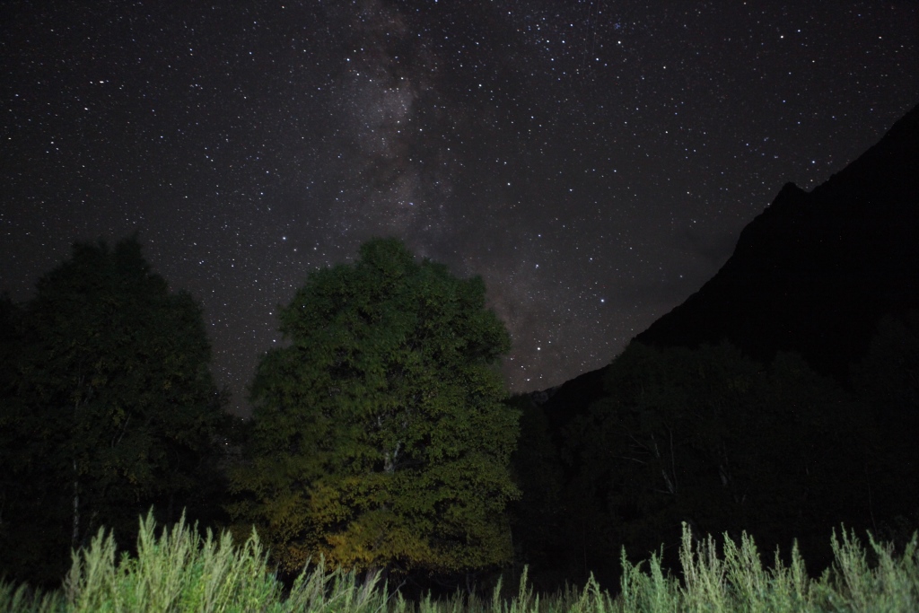
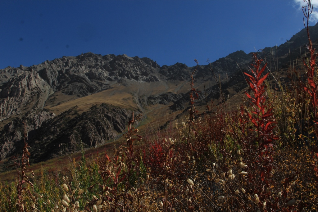
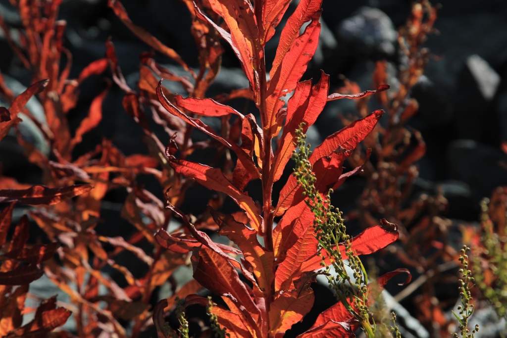
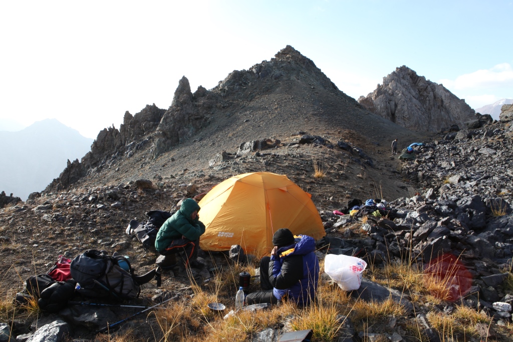
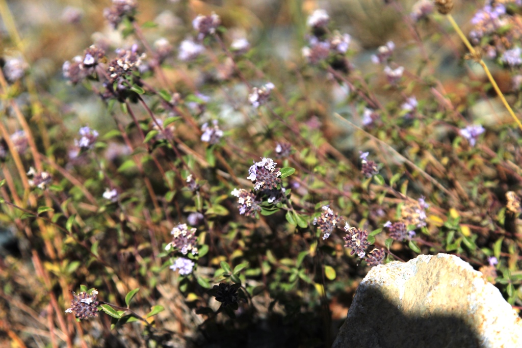
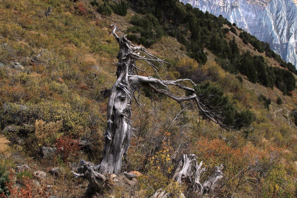
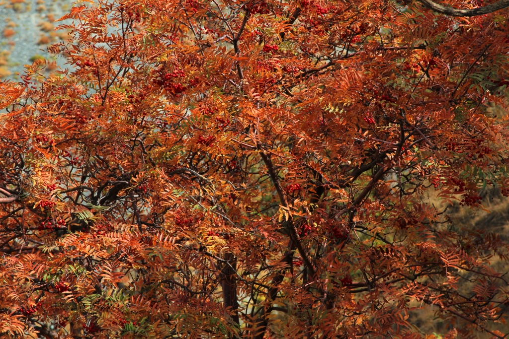
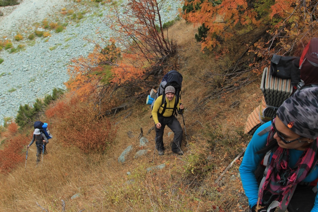
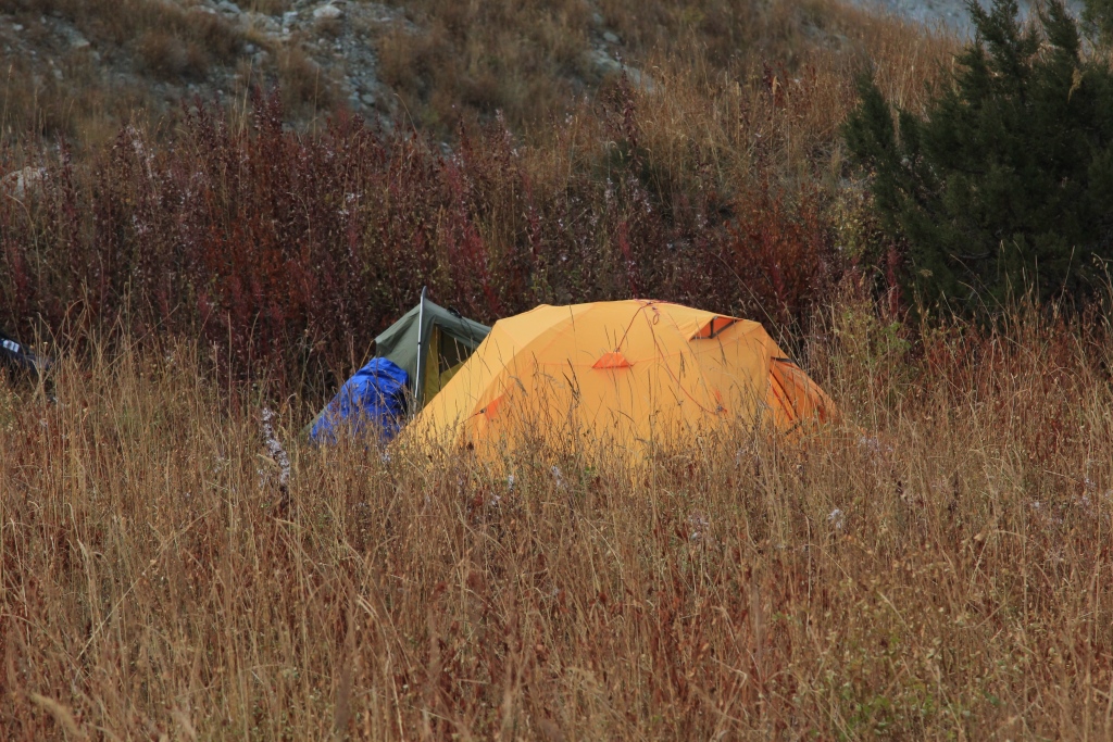
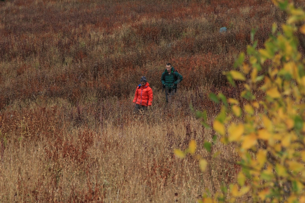
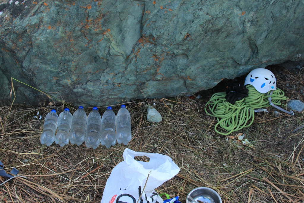
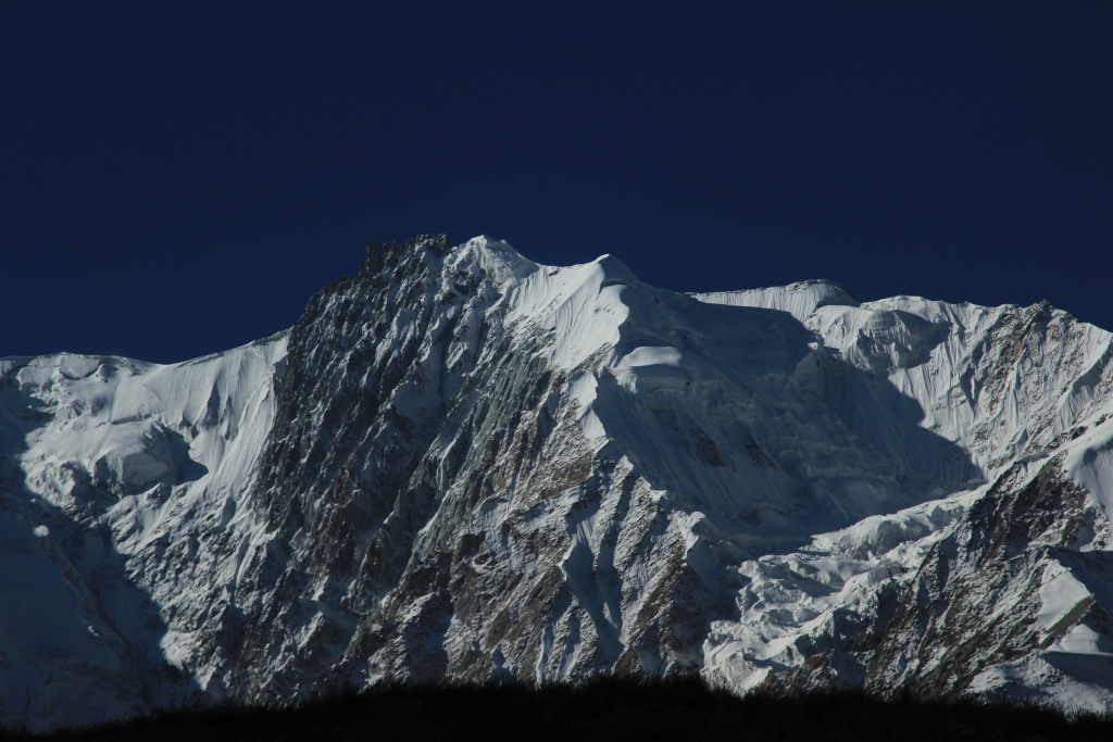
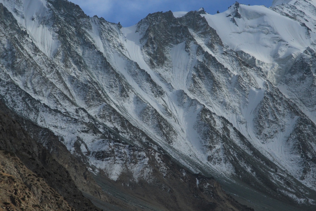
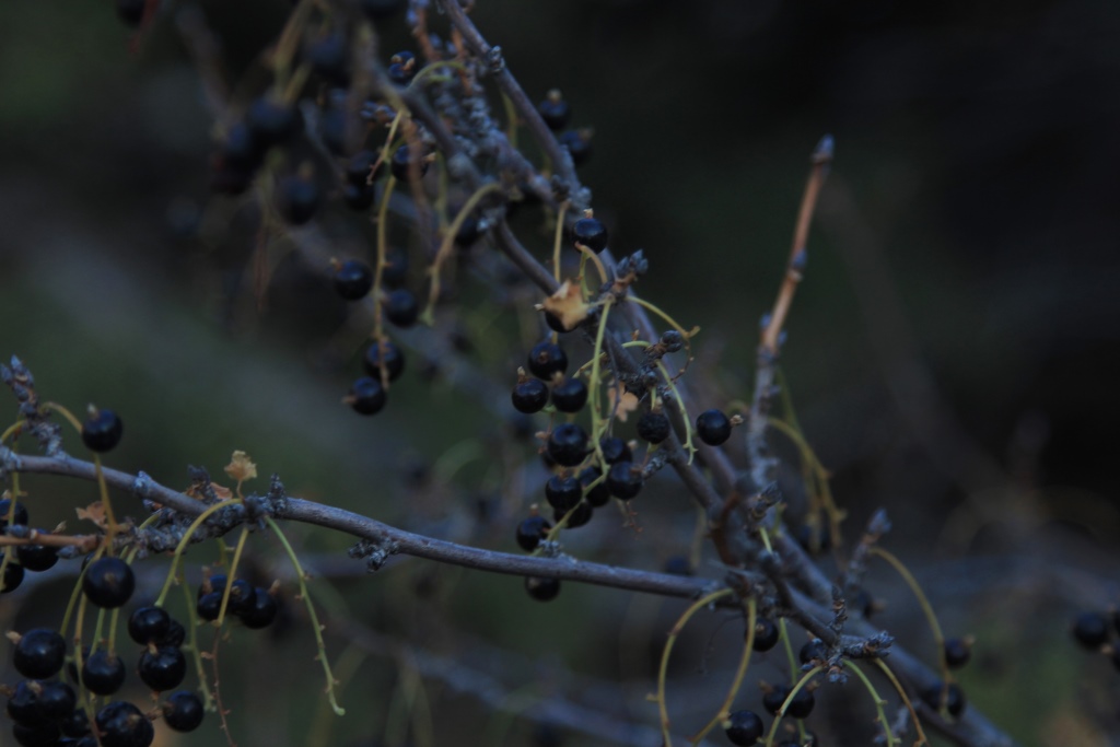
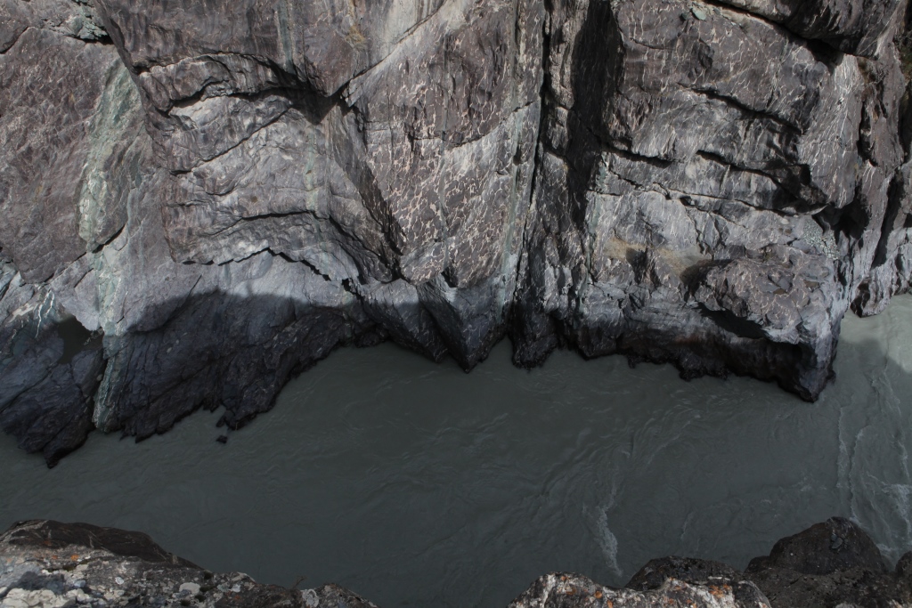
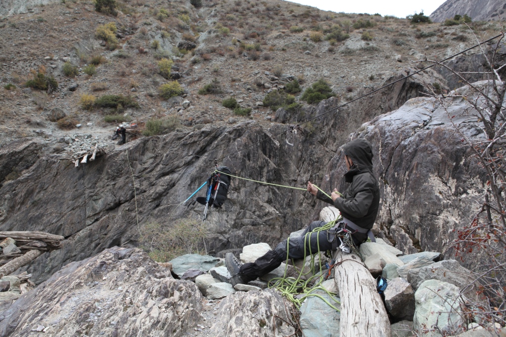
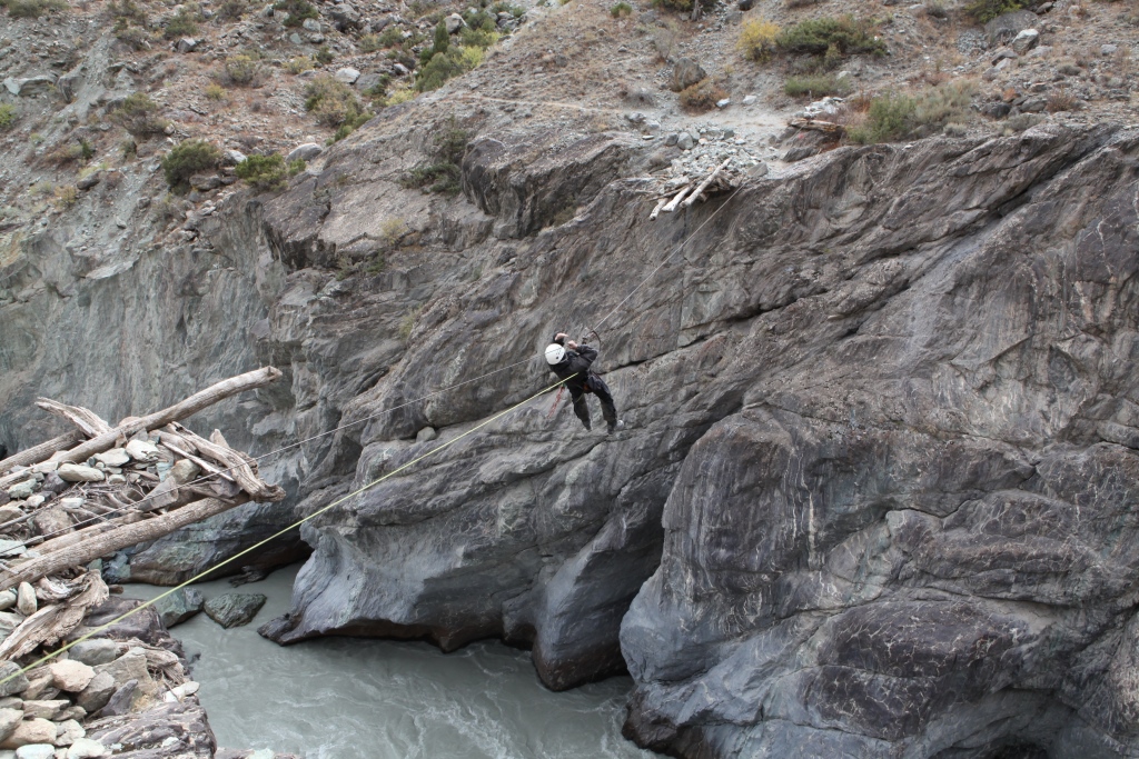
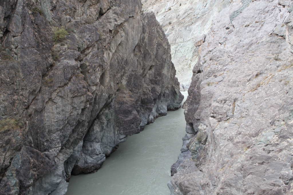
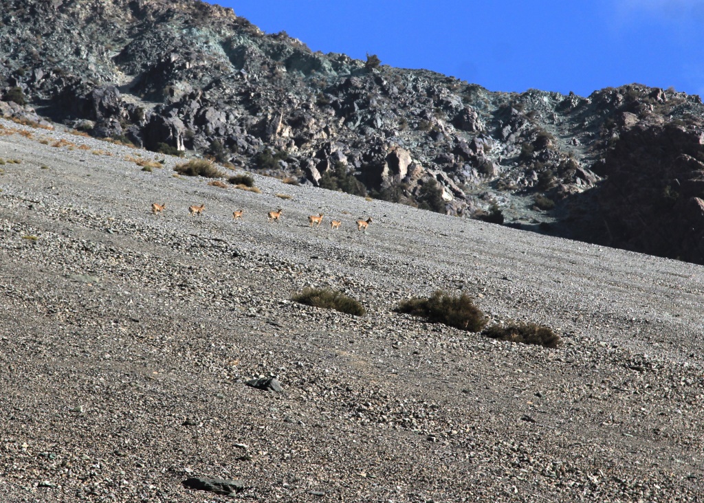
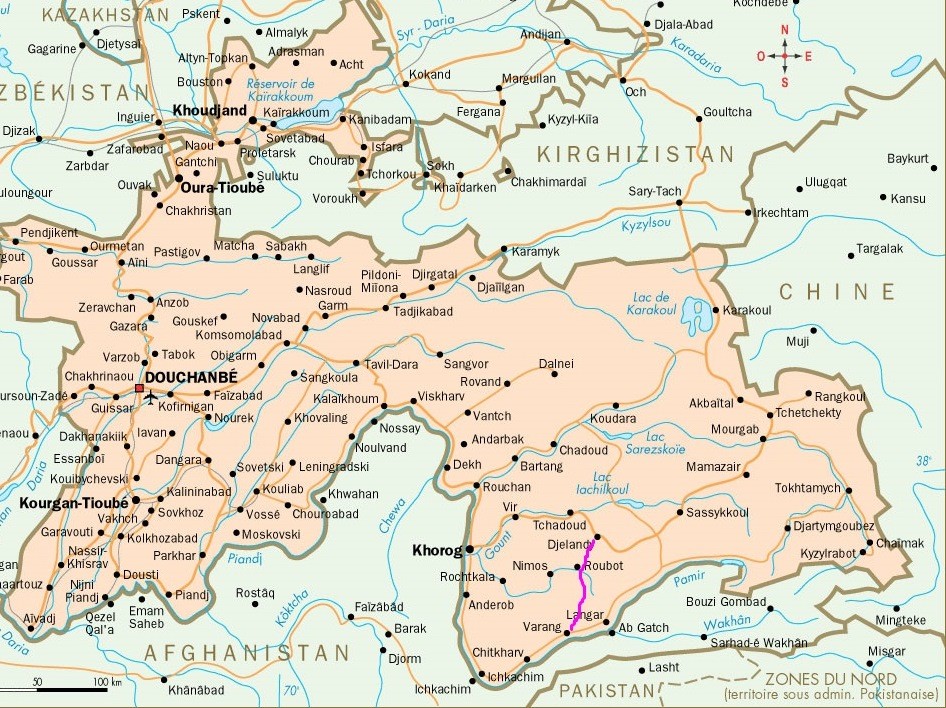
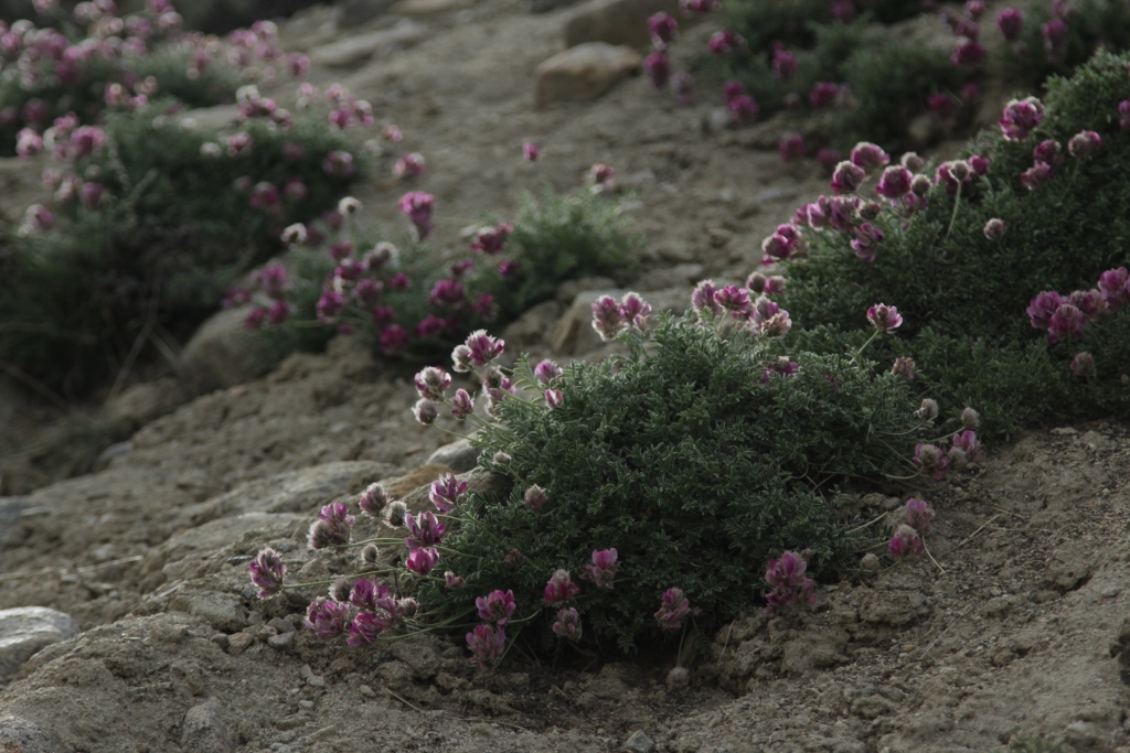
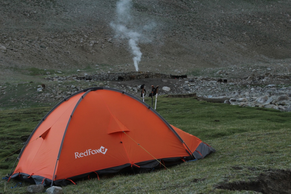
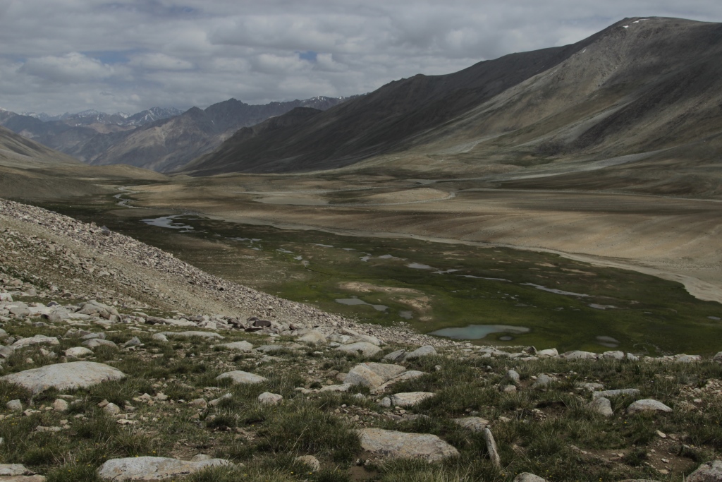
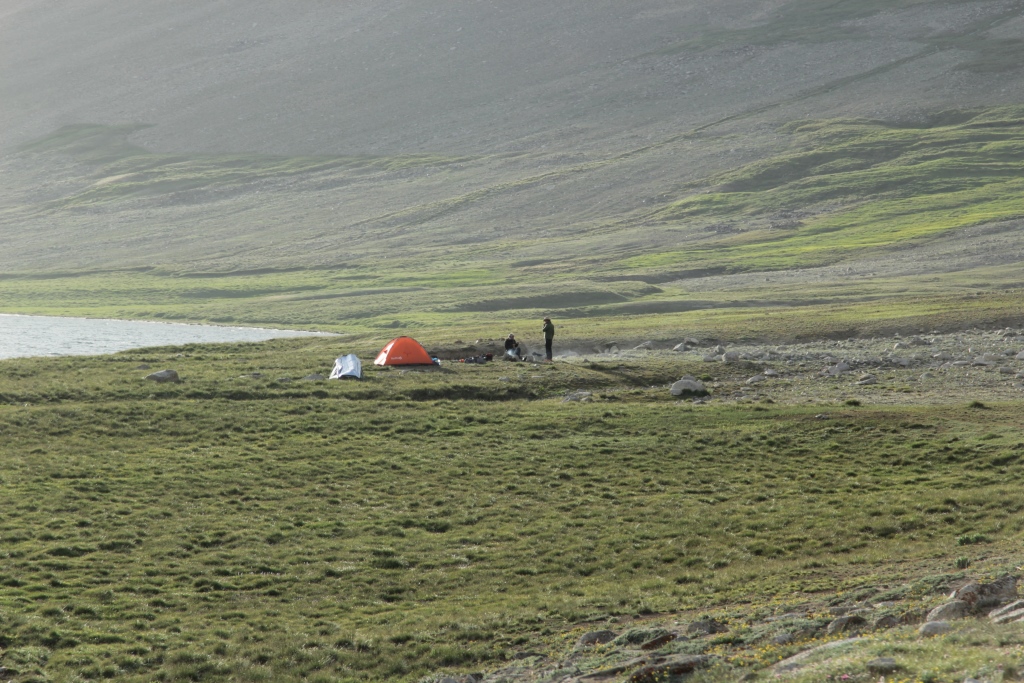
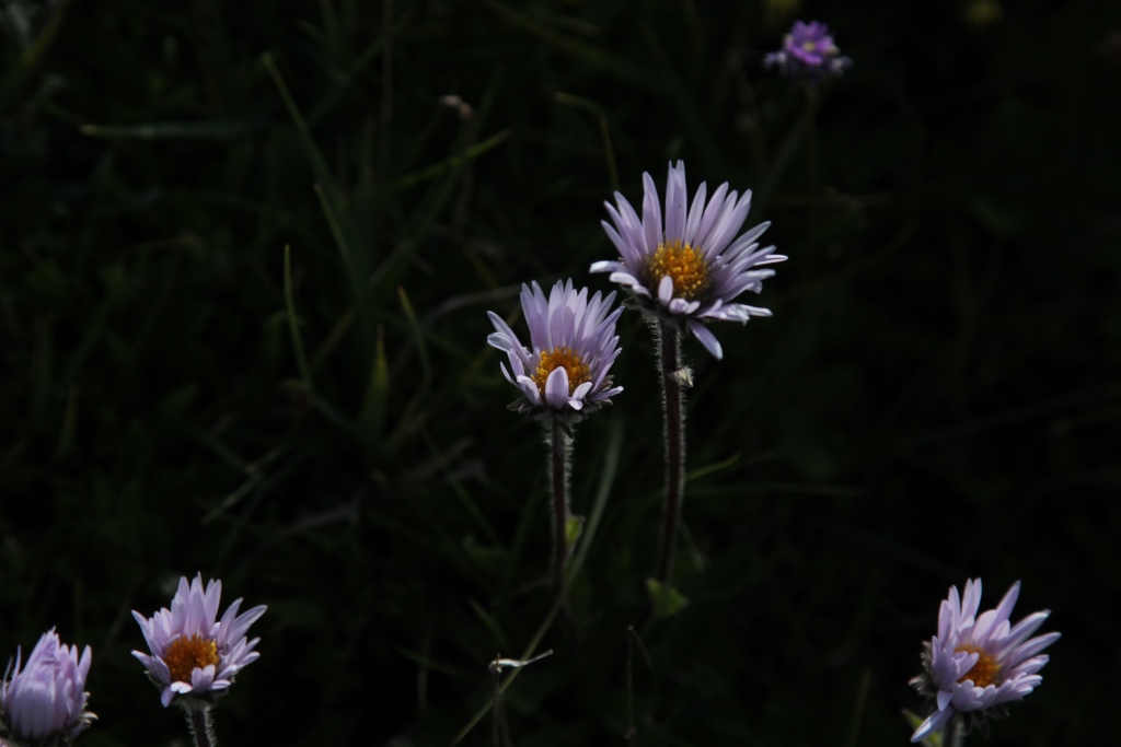
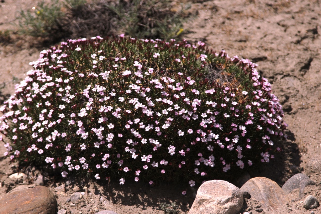
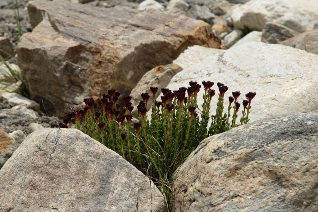
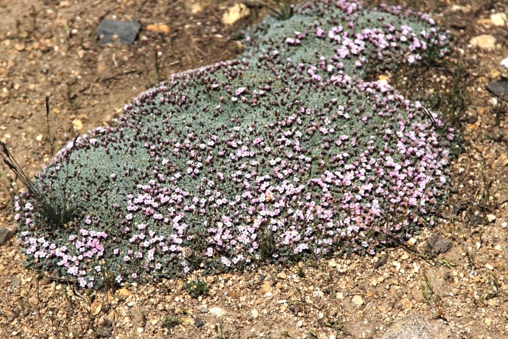
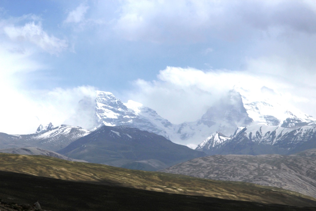
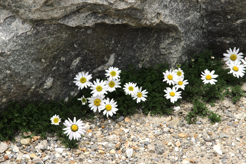
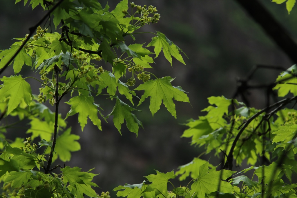
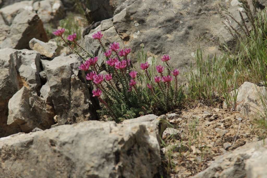
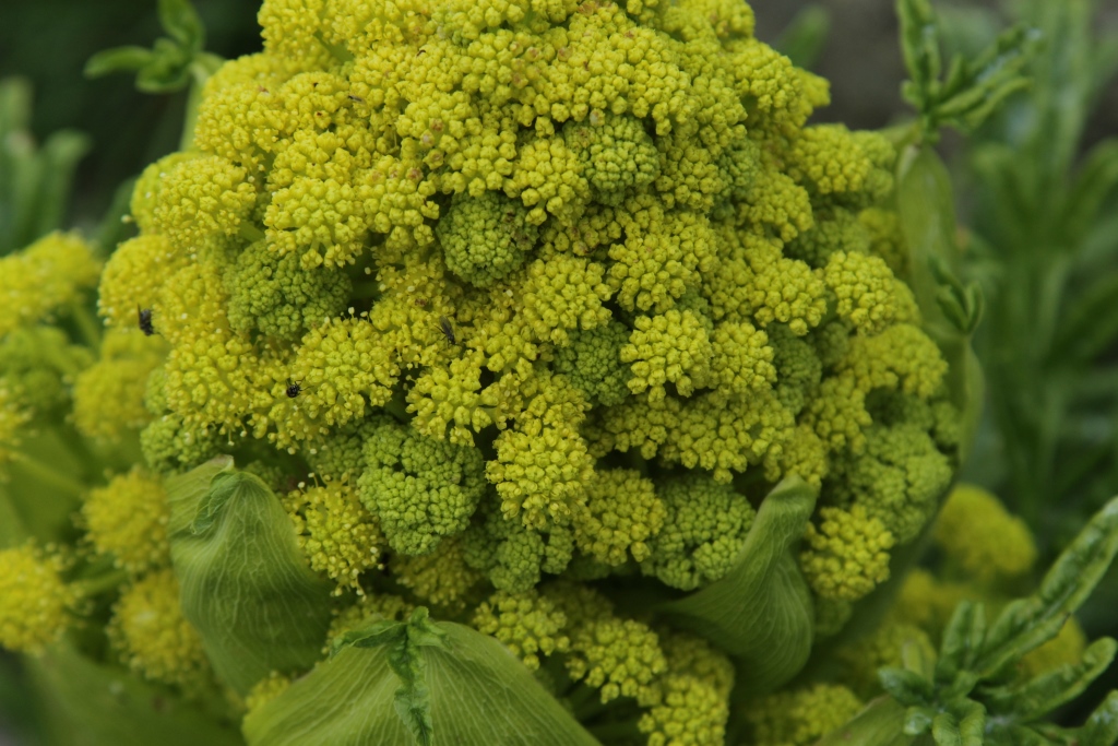
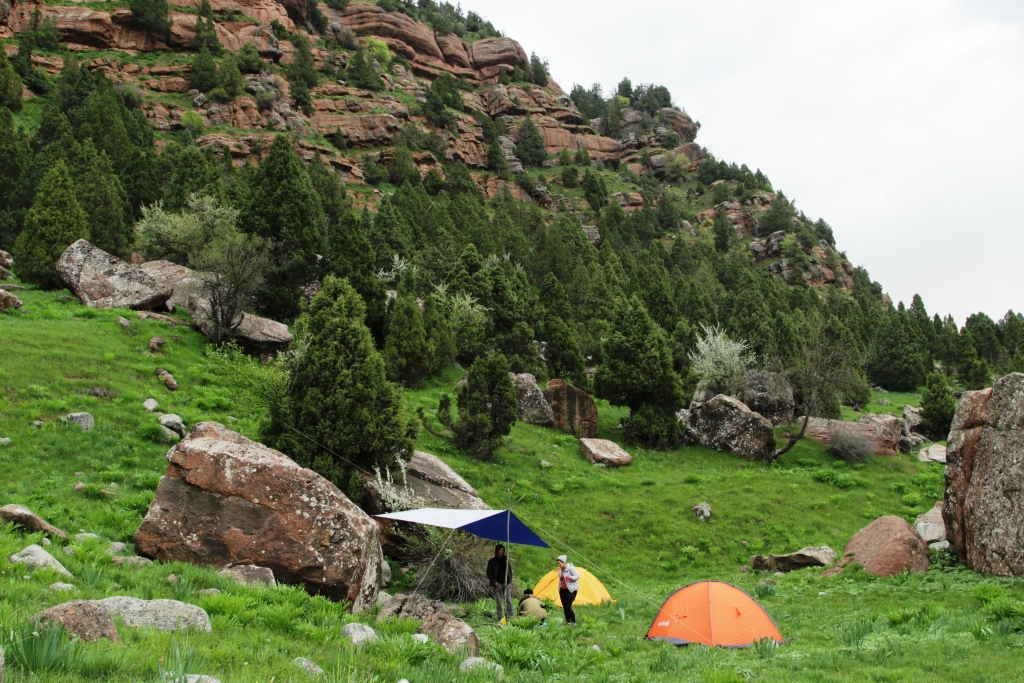
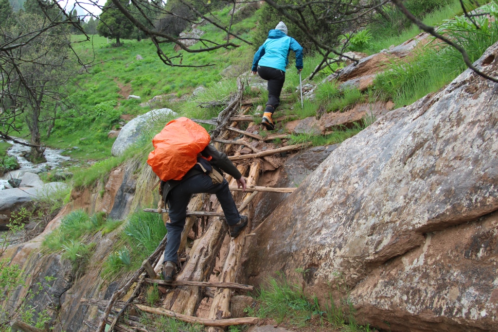
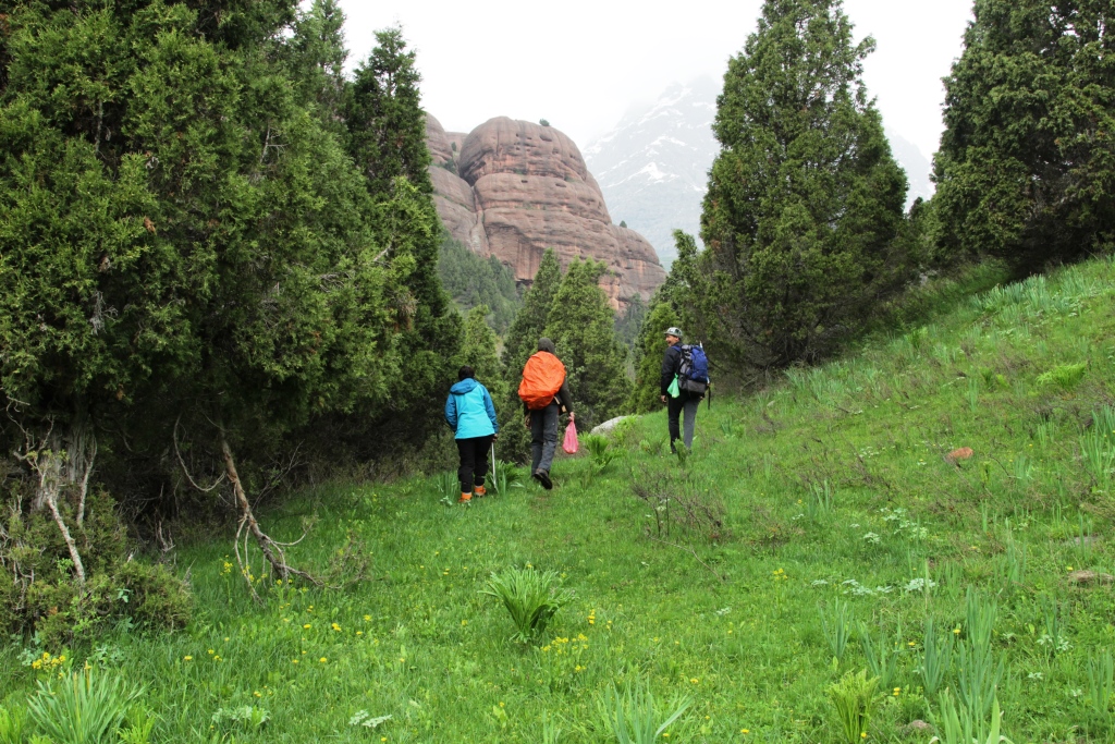
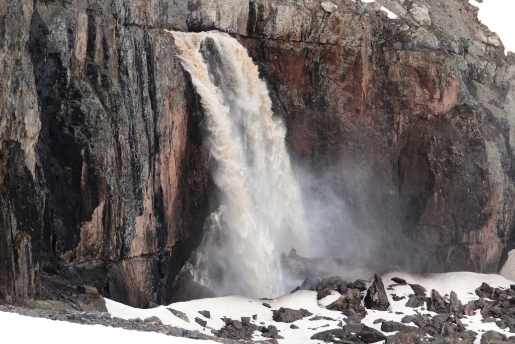
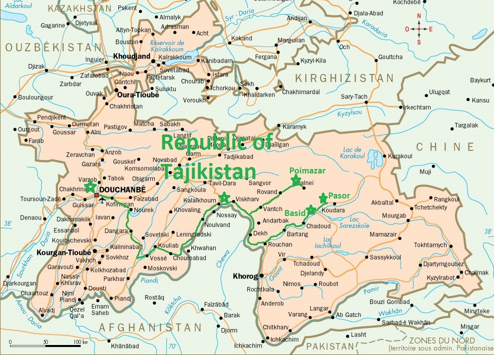
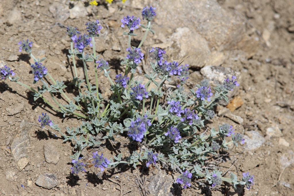
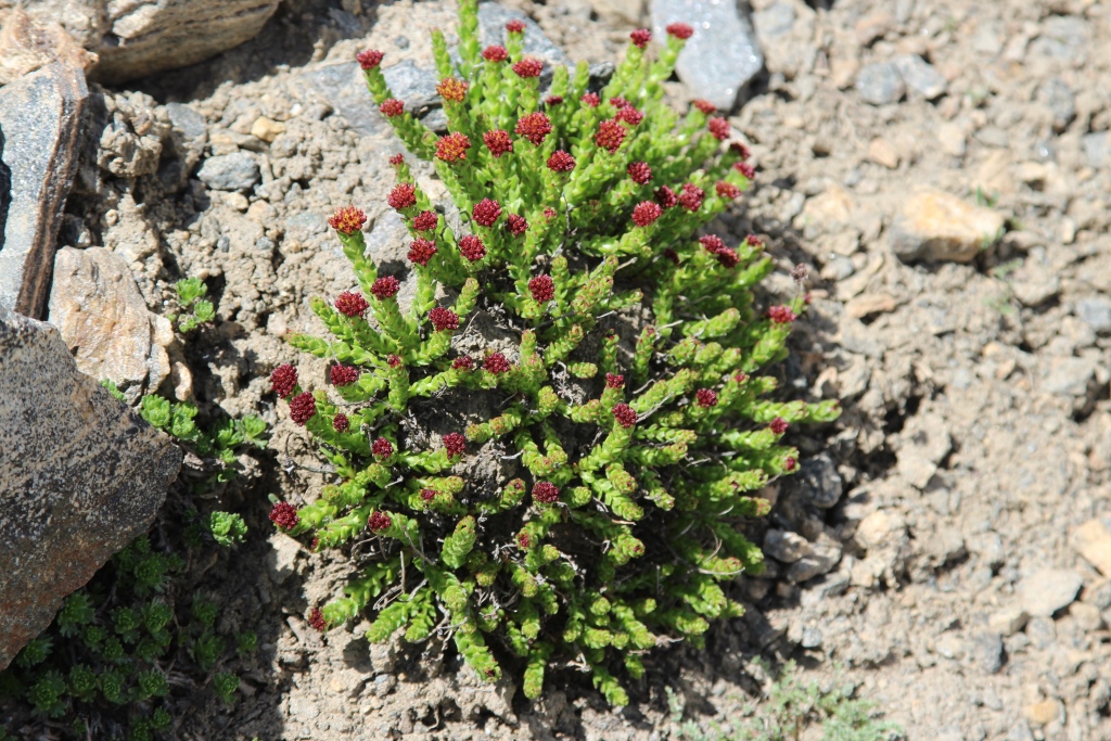
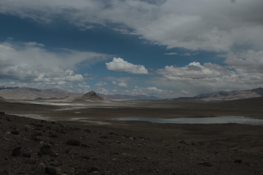
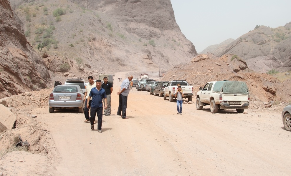
00 Our route on the map of Tajikistan001The road to the East0002The road to the East002The Vakhsh River003Here the confluence of the rivers Kyzylsu and Muksu is born the river Surkhob004Photo before going into the mountains.We escorts Uchkun and his family. Photo before going into the mountains.We say goodbye to the Uchkun and his family.005The valley of the river Muksu006. The Plants Of The Pamirs.008. Gorge Ergay.9. Gorge Ergay10.The Village Of Candou.11. The Plants Of The Pamirs.12.Rest on the way.13. The valley of the river Muksu. The villages of Muk and Depshar.14. The ascent to the pass, Belcandov 3339м.15.Plateau Chоjatau, the view from the pass of Belcandov16. Valley Sugran the view from the pass, Belcandov.17 The descent to the river Sugran18 The descent to the river Sugran19. The bridge over the river Sugran20 . River Sugran view from the bridge.The bridge over river Sugran.22. The bridge over the river Sugran.023 The Plants Of The Pamirs.26.Camp in the valley of Sugran.27 House Gursky28. Almost Nirvana.029Camp in the valley of Sugran030Birch in the valley of Sugran031 House Gursky032The Sky Of The Pamir033 View of the pass Irget with Sugran034 The Plants Of The Pamirs.035 Rest on the way.036 The ascent to the pass Irget037 The view from the pass Irget, the valley of Sugran.038 Camp on the pass Irget 4400m039 Muksu valley views to the South.040 The descent from the pass Irget041 The descent from the pass Irget042The Plants Of The Pamirs.044 Camp by the river Irgiy045 In the canyon of the river Irgiy.046 Crossing the river Irgiy.047 The Plants Of The Pamirs.048 Nikolay Nomerotsky Shelter of a hunter.049 Shelter of a hunter.050 The Plants Of The Pamirs.051 Pass Tamasha. A traditional photo.052 0 River Hadircha.052 1 River Hadircha.054 Backpack ready for the crossing.055Crossing the river Hadircha. We were lucky, a little water.056Crossing the river Hadircha. We were lucky, a little water.057 River Hadircha.058 Maryam Sharipova In the camp on the river Hadircha.059 The weather is getting worse.060The weather is getting worse.061The weather is getting worse.062 The Plants Of The Pamirs.063 Hadircha. There are no roads.064 Camp in the valley Hadircha065 The quest for water.066 A supply of water.067 Mount Shafak 5667m068 In the mountains of new snow.069 The Plants Of The Pamirs070.Lunch071 Anatoliy Sharipov.072 Rope crossing the river Muksu.073 Simon Krilov Rope crossing the river Muksu.074Rope crossing the river Muksu.075Rope crossing the river Muksu.076 Rope crossing the river Muksu.077 Rope crossing the river Muksu.078 Rope crossing the river Muksu.079 Rope crossing the river Muksu.080 Rope crossing the river Muksu.083 Rope crossing the river Muksu.084 Rope crossing the river Muksu.087 On the trail of the gold miners089 1 The Plants Of The Pamirs.089 Camp in the valley of the Muksu.090 On the trail of the gold miners.091On the trail of the gold miners.093 On the trail of the gold miners.094 2 Irgiy river ends with a waterfall094 Irgiy river ends with a waterfall095 The wild goats here are not afraid of people. You can come very close.096 Rest on the way.097 On the trail of the gold miners.098 River Servosa.099 The bridge over the river Servosa101 Lunch on the river Servosa102 Crossing the river Servosa.103 The Muksu river, view from the trail.104 The Muksu river, view from the trail.105 On the trail of the gold miners.107 The monument to the dead prospector.108 Plateau Hadjatou109 Plateau Hadjatou110 Camp on plateau Chоjatau.Plateau HadjatouThe Holy place of Hazrat Sultan.Plateau Chоjatau.The Holy place of Hazrat Sultan.Plateau Chоjatau.The Holy place of Hazrat Sultan.Plateau Chоjatau.The Holy place of Hazrat Sultan.Plateau Chоjatau.Plateau Chоjatau.Plateau Chоjatau.The bridge over the river Muksu.The bridge over the river Muksu.
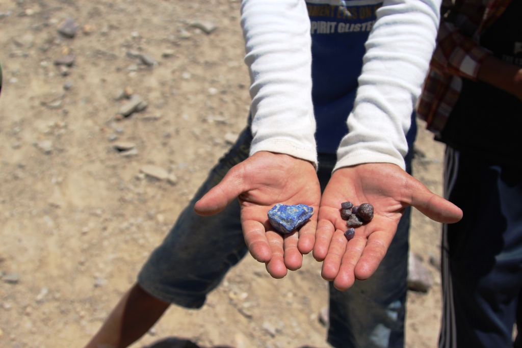
In early July of 2017 Club Team «AGBA» in the Anatoly Sharipov, Simon Krylov , Ramit Senjapov passed on the route.
Jelondy, valley Tuzumtaykul.( The numbers correspond to the days on the route)
2.3.Pass 4291 M. lake Turumtaykul 4202 m. (day of Rest)
4.River valley Duzakhdara South.
5.The valley of the river Shahdara , Javshangoz.
6.7.River valley Wiring.
Pass Wrang 5067м river valley Wnucut.
9.The valley of the Panj river (Wakhan) the village Vrang.
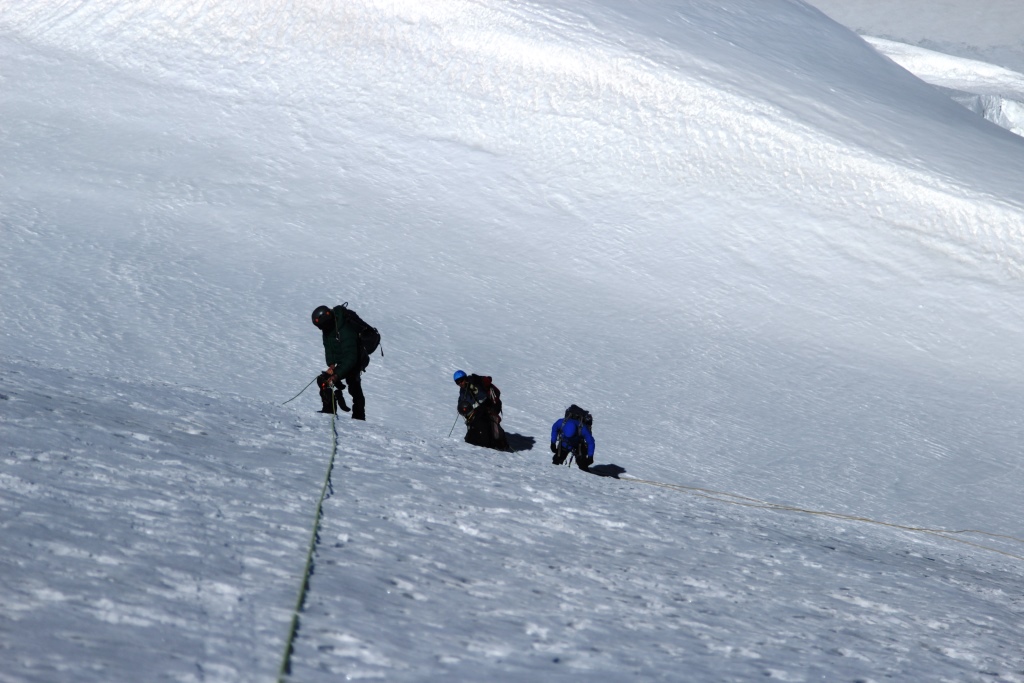
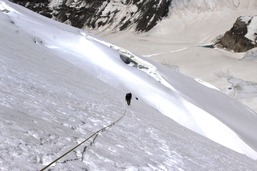
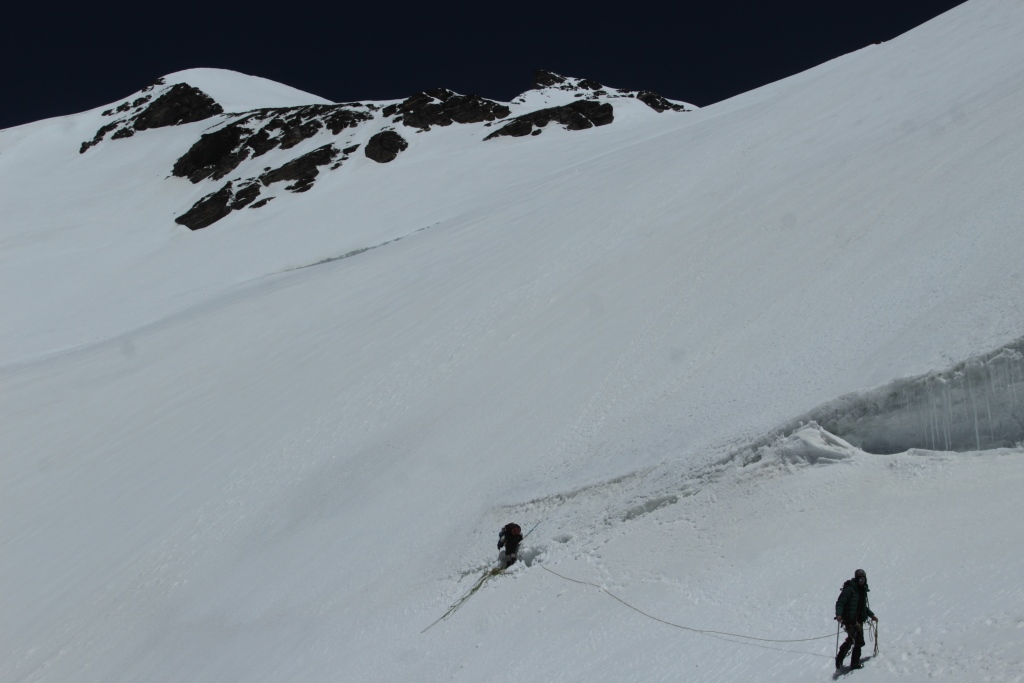
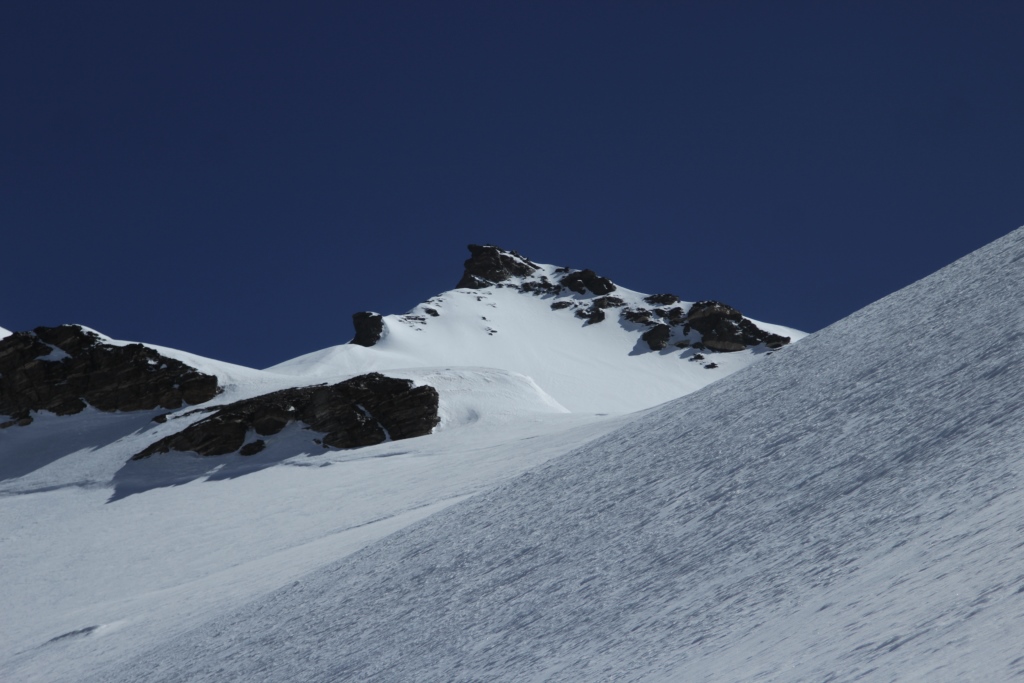
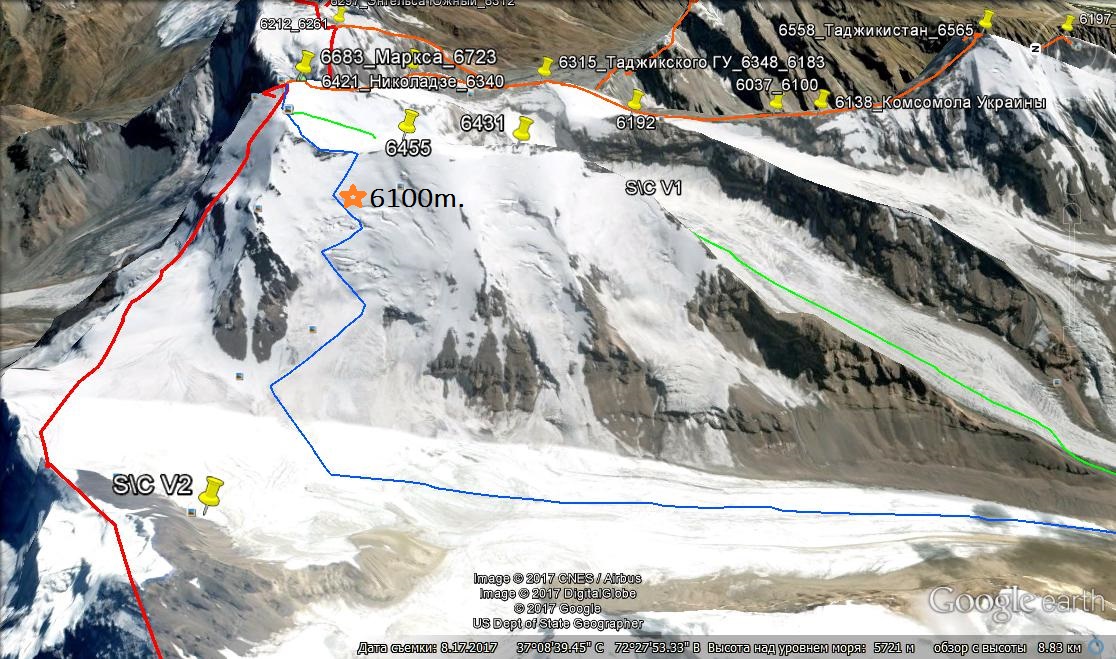
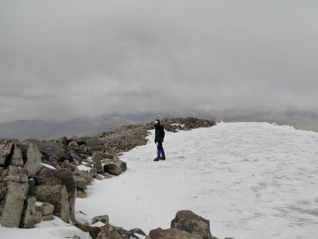
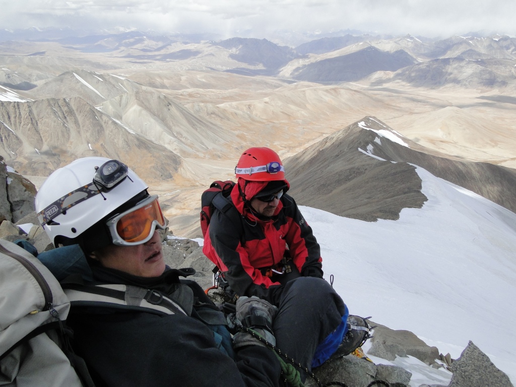
The trekking program was conceived as acclimatization. The route passed without incident for 9 days.. At the end of the campaign was an attempt to climb PIK Karl Marx 6700м with glacier Nishgar. Unfortunately, climbing, for objective reasons, had to interrupt.. the Team reached an altitude of 6100m.
Outcome: passed the tracking interesting and made a deep exploration of the route of ascent to the peak of Karl Marx.
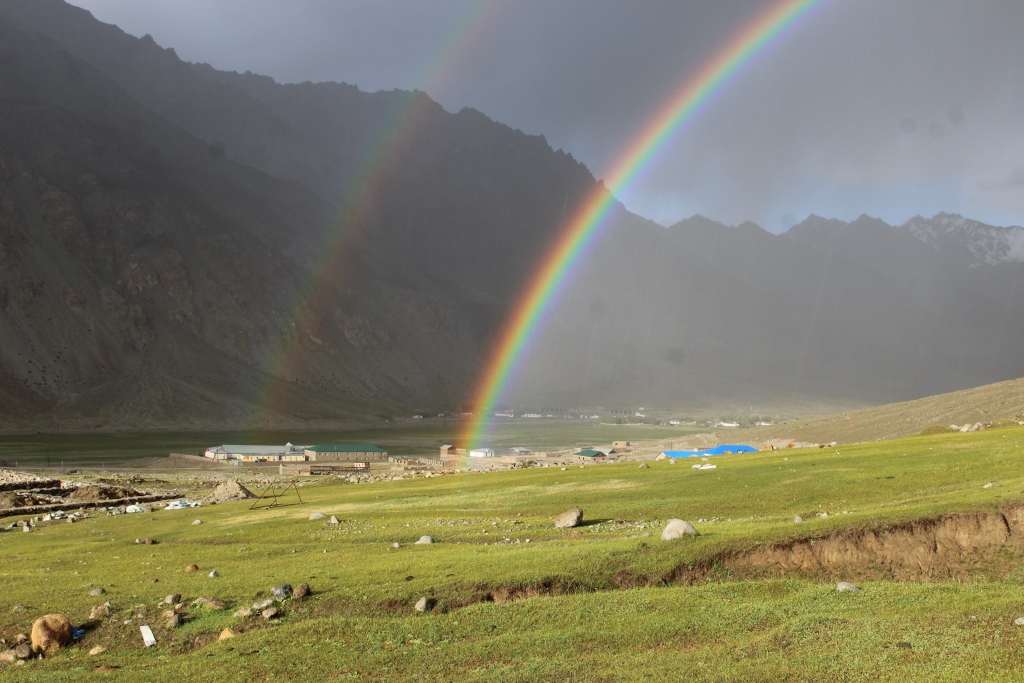
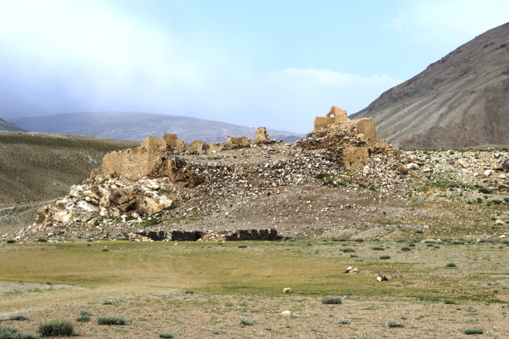
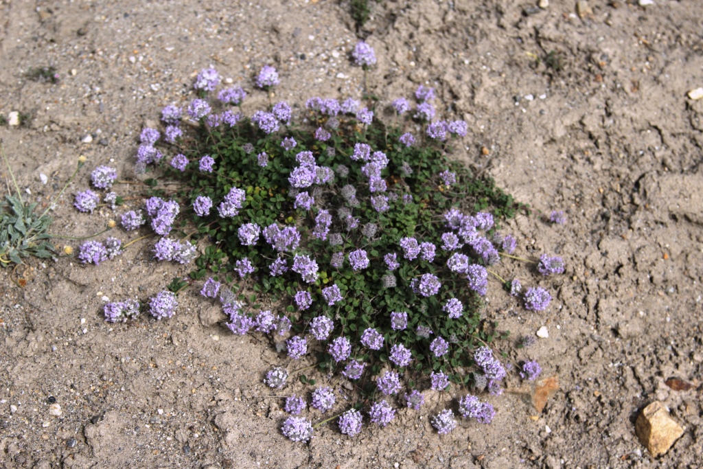
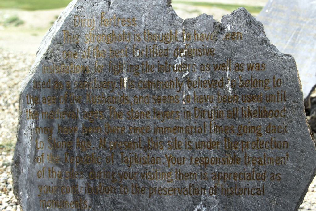
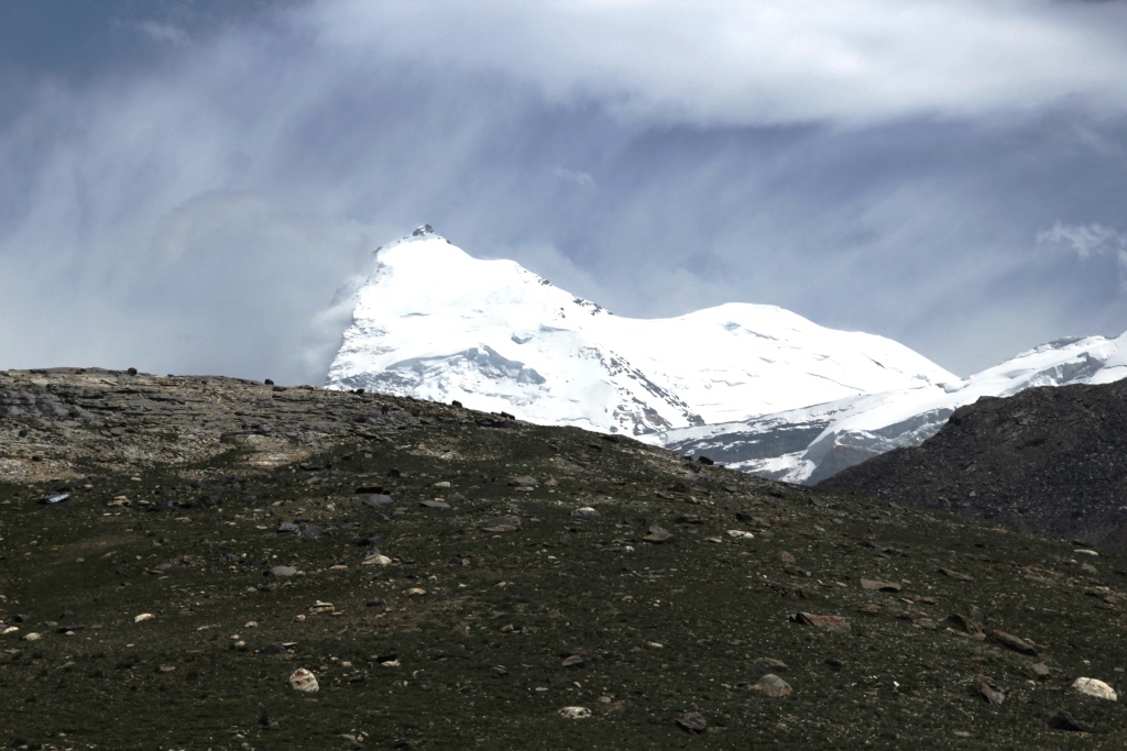
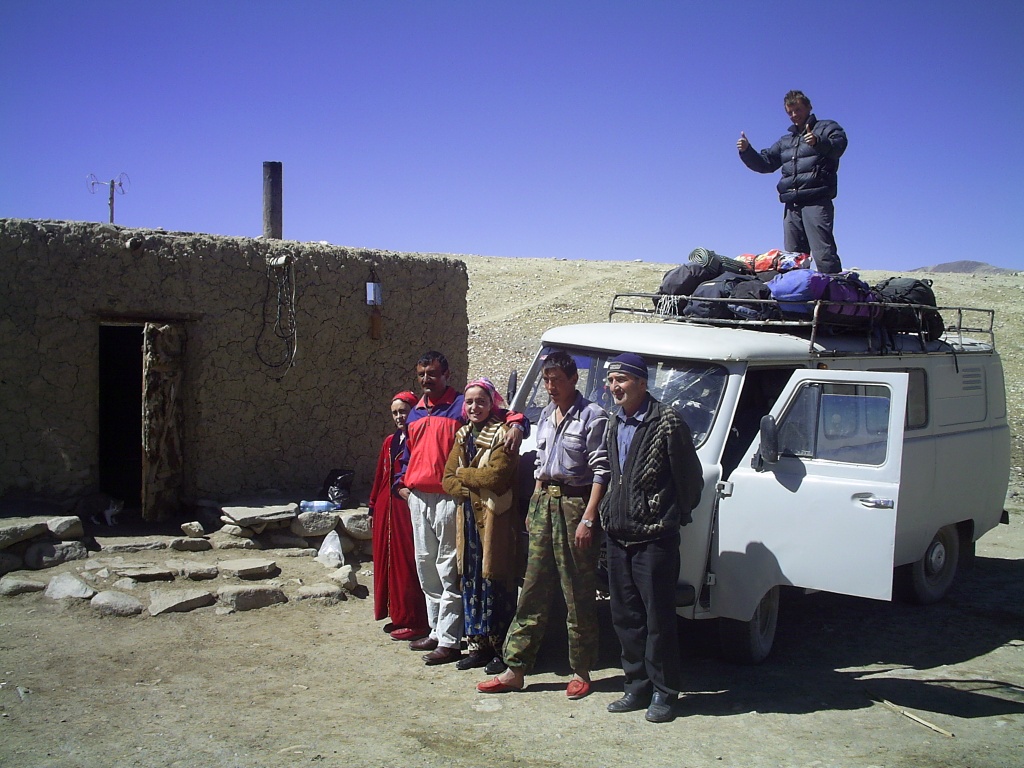
Our route on the map of Tajikistan.Jelondy. The beginning of the path.2. Camp in the valley Tuzumtaykul.The Plants Of The Pamirs. Растения Памира.Pamir.Camp in the valley Tuzumtaykul. Not far away the homes of local residents on summer pastures. Лагерь в долине Тузумтайкуль. Неподалеку летовка -жилище памирцев на летних пастбищах.Pass 4291м. The valley Tuzumtaykul. Перевал 4291м.Долина Тузумтайкуль.7. Lake Turumtaykul 4202 m.The view from the pass 4291м.Camp on the shore of lake TurumtaykulThe Plants Of The Pamirs.Lake TurumtaykulThe Plants Of The Pamirs.Camp on the shore of lake Turumtaykul.Lake TurumtaykulThe Plants Of The Pamirs.Lake TurumtaykulCamp in the valley of the river Duzakhdara South.In the way.The Plants Of The Pamirs.So we saw the peaks of Marx and Engels for the first timeThe ruins of the fortress Javshangoz.The Plants Of The Pamirs.A modern inscription in the fortress.Valley WirangPIK Karl Marx view of the valley Wirang.The Plants Of The Pamirs.Camp before the pass Wrang.The ascent to the pass Wrong.The ascent to the pass Wrong.Pass Wrang 5067м.The descent from the pass Wrang.The descent from the pass Wrang.The descent from the pass Wrang.The Plants Of The Pamirs.The descent from the pass Wrang.In the valley of Wnucut.In the valley of Wnucut.The Plants Of The Pamirs.In the valley of Wnucut.In the valley of Wnucut.Our friend Zarbali.In the valley of Wnucut.The valley of the Panj river (Wakhan) Wrang.The valley of the Panj river (Wakhan) Wrang.Buddhist temple.Pamir gems.The path to the top of the valley Nishar.The path to the top of the valley Nishar.The path to the top of the valley Nishar.Camp on the way to glacier Nishgar.The Plants Of The Pamirs.Camp on the way to glacier Nishgar.Ramit.Camp on the glacier Nishgar 5100 m.View of the summit from the camp.In the camp.Morning, ascent.Morning, ascent.Morning, ascent.During the ascent.During the ascent.Peak Karl Marx and pass Nishgar Central 6370м.Peak Karl Marx and pass Nishgar Central 6370м.The route of ascent.Pass Nishgar from the South 5650m..Simon and Ramit.The last camp of the expedition 2017.The Plants Of The Pamirs.Pamir gems.The descent into the valley.Elements of the Mountain civilizationThe Wakhan valley.
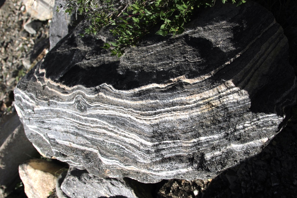
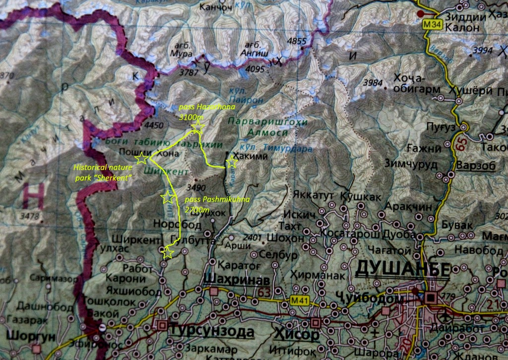
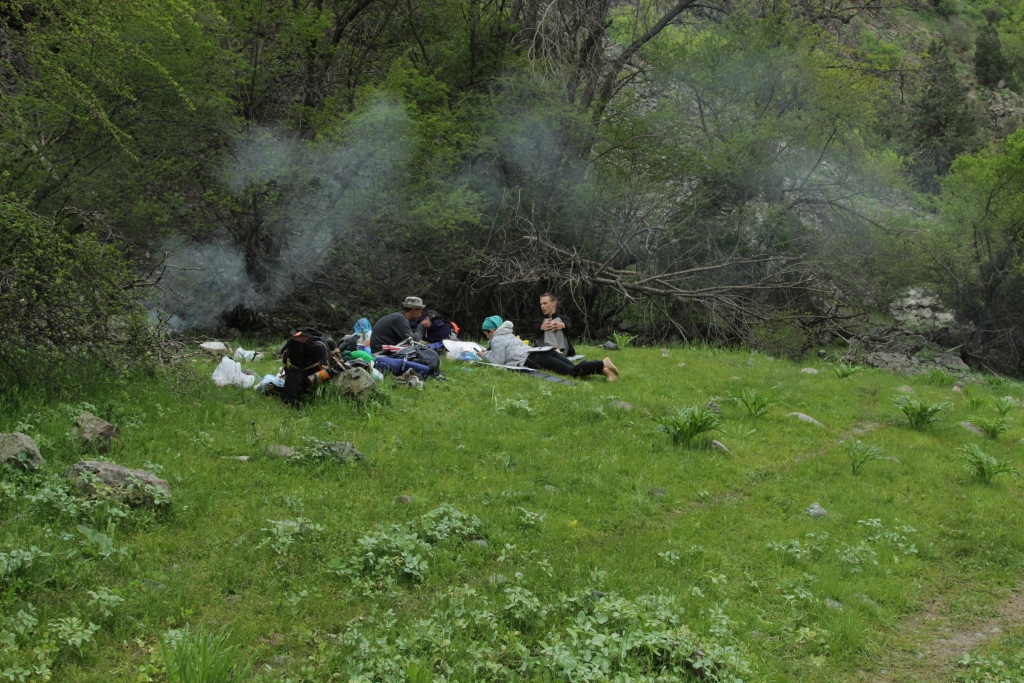
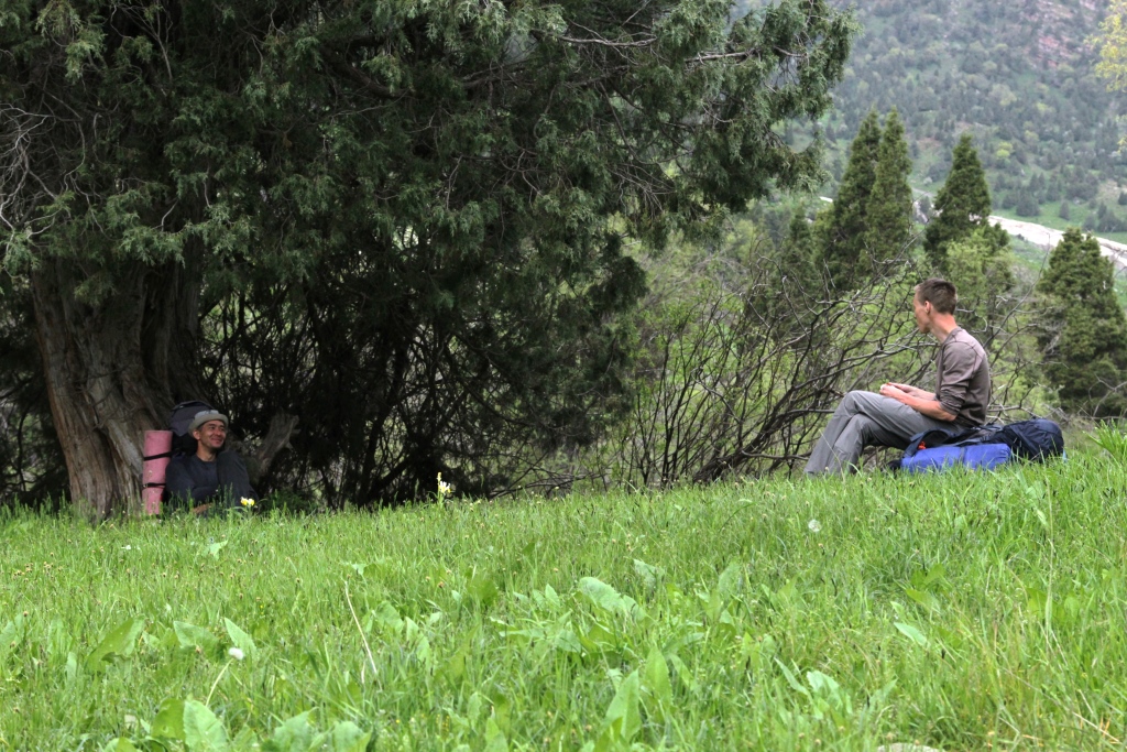
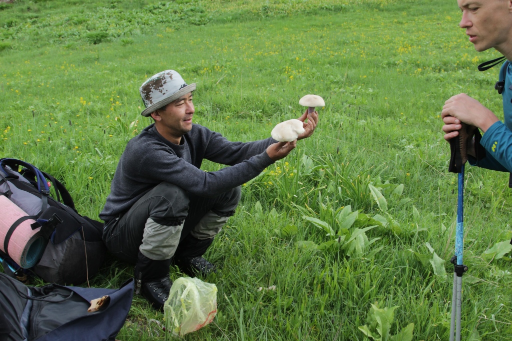
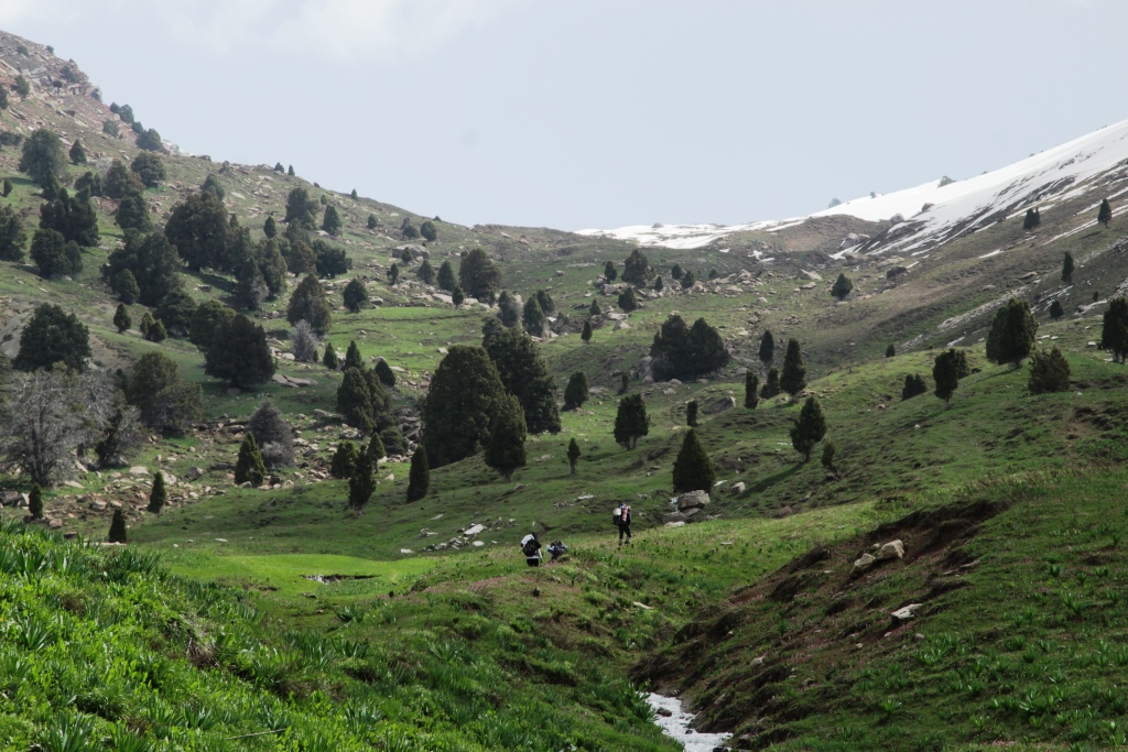
3-9 may 2017, the Club team held an event -a Mountain hike in the southern spurs of the Gissar range. The route connected the valleys of the rivers Shirkent, and Karatag . The main objective of sports is preparing for the summer climbing season. Carry heavy backpacks to get used to the new shoes to workout in overcoming various obstacles (crossing rivers, steep mountain slopes, long ascents and descents). And of course for the soul is Serkent barrier, a uniquely beautiful place. I want to say more but words are not enough, you can see photos
In the tracking went: Anatoli Sharipov. Mahbuba Aslanova. Simon Krilov. Ramit Senjapov.
……
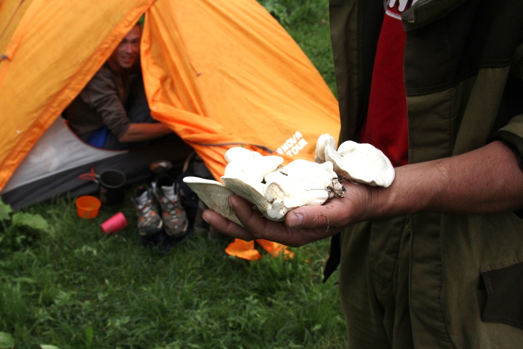
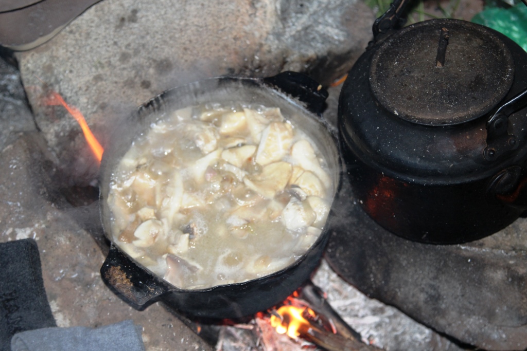
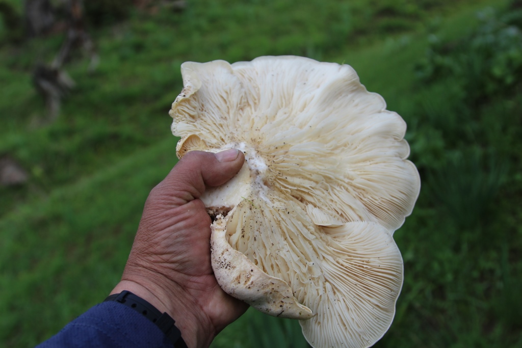
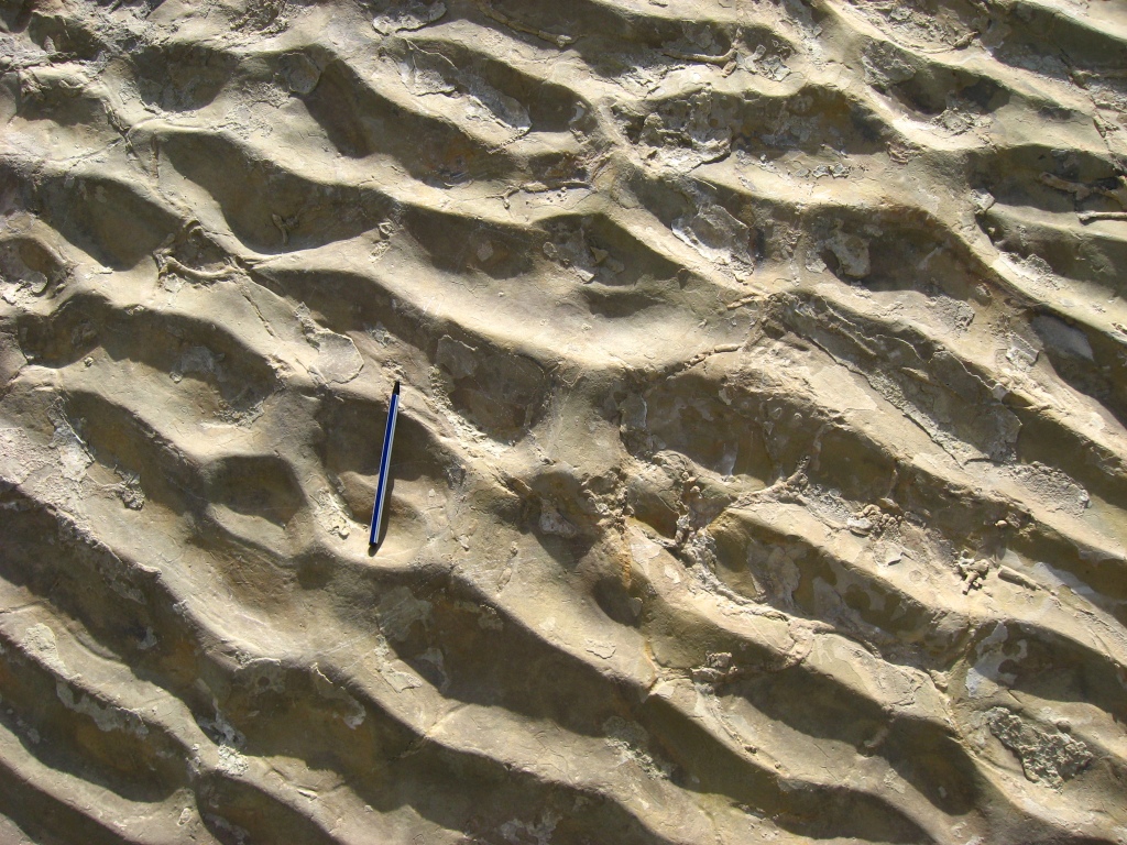
Walking part of the wayThe hike begins on may 3Sherkent ValleySherkent ValleySherkent Valley. Cliff dinosaur footprints.Sherkent Valley. First camp.Sherkent ValleySherkent ValleySherkent ValleyMhbuba.SherkentValleySimon Sherkent Valley.Rhodíola rósea LSherkent Valley.Sherkent Valley.To the pass Pasichmikuhnapass PasichmikuhnaCamp 2.Pass Pasichmikuhna«Sherkent barrier»Crossing the river ObijirCrossing the river ObijirThe Tract Zagargo The descent into the valley Sherkent..Lunch on the way Sherkent.Rest on the way.Sherkent ValleyVillage PashmikuhnaThe bridge over the river HazorhonaTajik MushroomsTajik MushroomsFerula assa-foetida LCamp 3 on the shore of the river SandaldaryaIn the gorge SandaldaryaHistorical nature park “Sherkent”Historical nature park “Sherkent”Historical nature park “Sherkent”Historical nature park “Sherkent”Historical nature park “Sherkent”Historical nature park “Sherkent”Historical nature park “Sherkent”Historical nature park “Sherkent”Historical nature park “Sherkent”Historical nature park “Sherkent”Historical nature park “Sherkent”Historical nature park “Sherkent”Historical nature park “Sherkent”Historical nature park “Sherkent”Tajik MushroomsHistorical nature park “Sherkent”Historical nature park “Sherkent”Historical nature park “Sherkent”Historical nature park “Sherkent”Historical nature park “Sherkent”Tajik MushroomsTajik MushroomsThe tract ChelpursoyThe tract ChelpursoyCamp 3 The tract ChelpursoyBearsThe tract ChelpursoyThe tract ChelpursoyThe tract ChelpursoyThe tract JahobTo pass HazorhonaPass HazorhonaValley Katta-KadjouWaterfall on the river Katta-KadjouWaterfall on the river Katta-KadjouPlateau Parmin.Plateau ParminPlateau ParminIn the gorge KaratagIn the gorge Karatag
The park is characterized by unique historical geological monuments, the number of which overises over 40 units. Among them there are: geomorphological, lithological, paleontological, tectonic, hydrological, glaciological and historical.
The most considerable in this Park are 3 of different ages dinosaur’s trades locations with the total imprint amount more than 400. Historical monuments include over 50 archeological objects and a few ethnic monuments. Stone age monuments unit ten stay places of primeval people from middle paleolith to neolith.
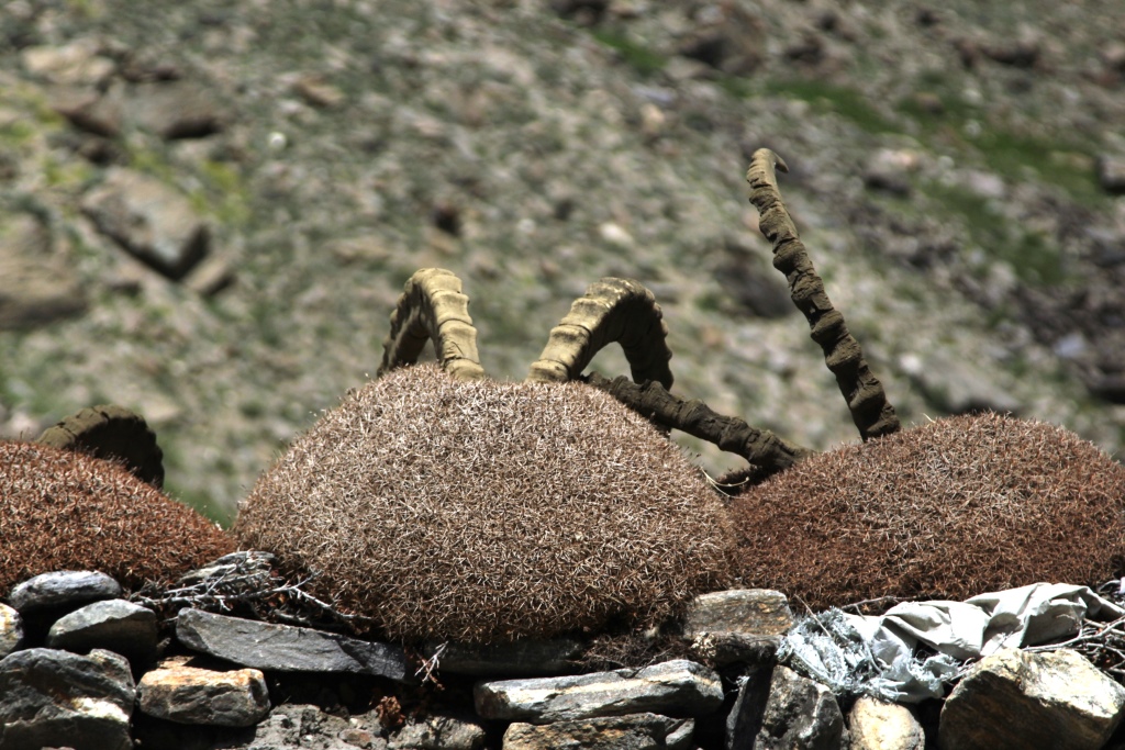
Animal world of Sherkent park is represented by a great variety of species. More than 30 mammal species including snow leopard, Tian Shan brown bear, stoat, weugel, Siberian goat and others inhabit this area. Ornithological fauna structure of Sherkent Park comprises over 40 species of settled and more than 55 migrates birds. The river is rich with trout
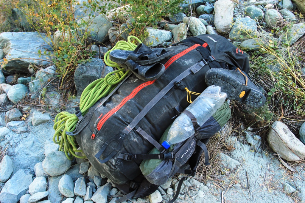
In the description reference is made to specific models, you can choose things to your taste, it is important to have the same characteristics as the samples.
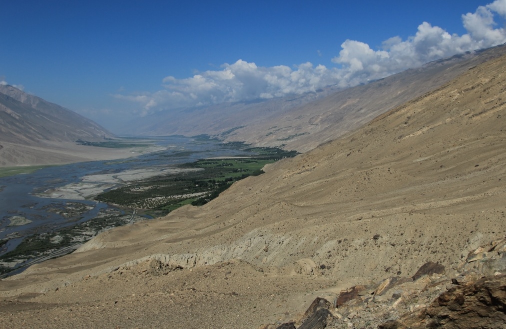
A car trip(road А384,R44,M41) runs through Kulob Kalai-Khumb, Rushan, and then to the top of the Bartang river to the village of Pachora. The way back to Dushanbe through the valley of river Vanj. The road is very challenging and interesting. Includes visits to historical and natural monuments located along the way. Possible option only on the road, M41. The Toyota «Land Cruiser», «Hilux».
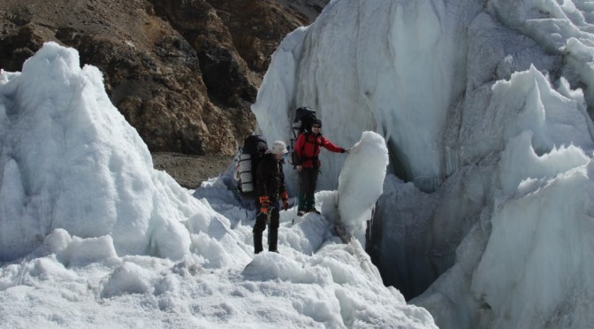
The pedestrian part of the route starts in Bartang, it is the most remote valley of the Pamirs. Held by the largest glacier, Fedchenko and Musculak (Grum-Grzhimailo), in the way you will see the peaks Somoni (Communism) and Garmo, then visit the weather station «Fedchenko» . The route ends in the valley of river Vanj.
Date.
Days.on the route.
Description.
Overnight,
No. camps (C №) altitude camps.
3.09.17.
1.
Dushanbe-Kalai-Khumb.
Overnight in Kalai-Khumb. 1260m.
4.09.17.
2.
Kalai-Khumb -Basit.
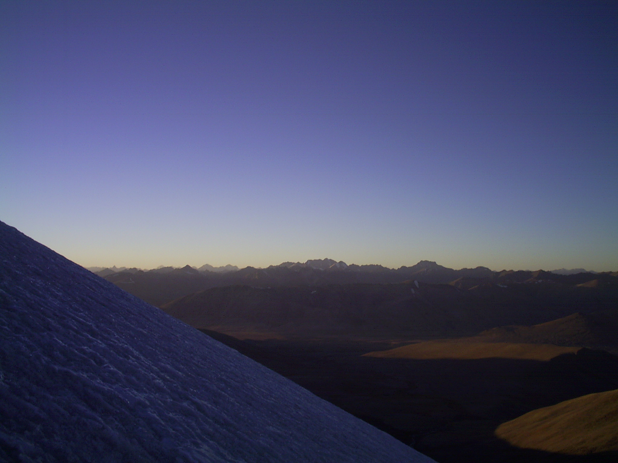
Overnight in Basit. 2349m.
5.09.17.
3.
Basit— Pasor
camp-C 1(hereinafter, all the nights in a tent camp).3030m.
Reserve day. Reserve days needed for the preparation of the group prior to technically difficult sections of the route, rest and in case of bad weather.
C 8. 3686m.
14.09.17.
12.
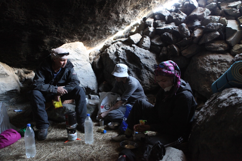
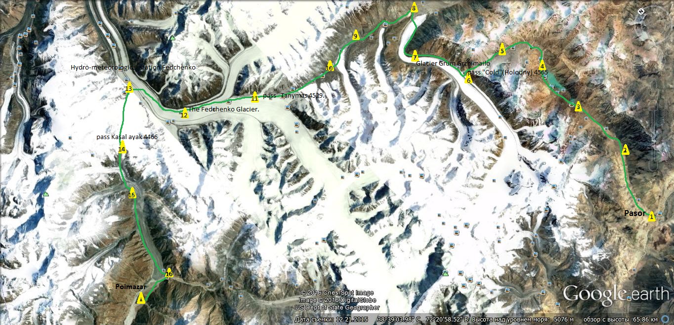
Glacier Tanymas 2. Crossing the river Tanymas.
C 9. 3894m.
15.09.17.
13.
Glacier Tanymas 3.
C 10. 4321m.
16.09.17.
14.
Pass Tanymas 4529.
C 11. 4529m.
17.09.17.
15.
Pass Tanymas . The Fedchenko Glacier.
C 12. 4299m.
18.09.17.
16.
The Fedchenko Glacier. Hydro-meteorological station Fedchenko
C 13. 4217m.
19.09.17.
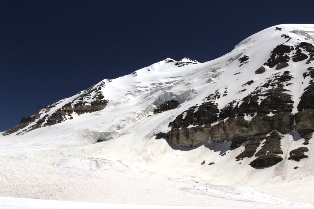
17.
Reserve day. Reserve days needed for the preparation of the group prior to technically difficult sections of the route, rest and in case of bad weather.
C 13. 4217m.
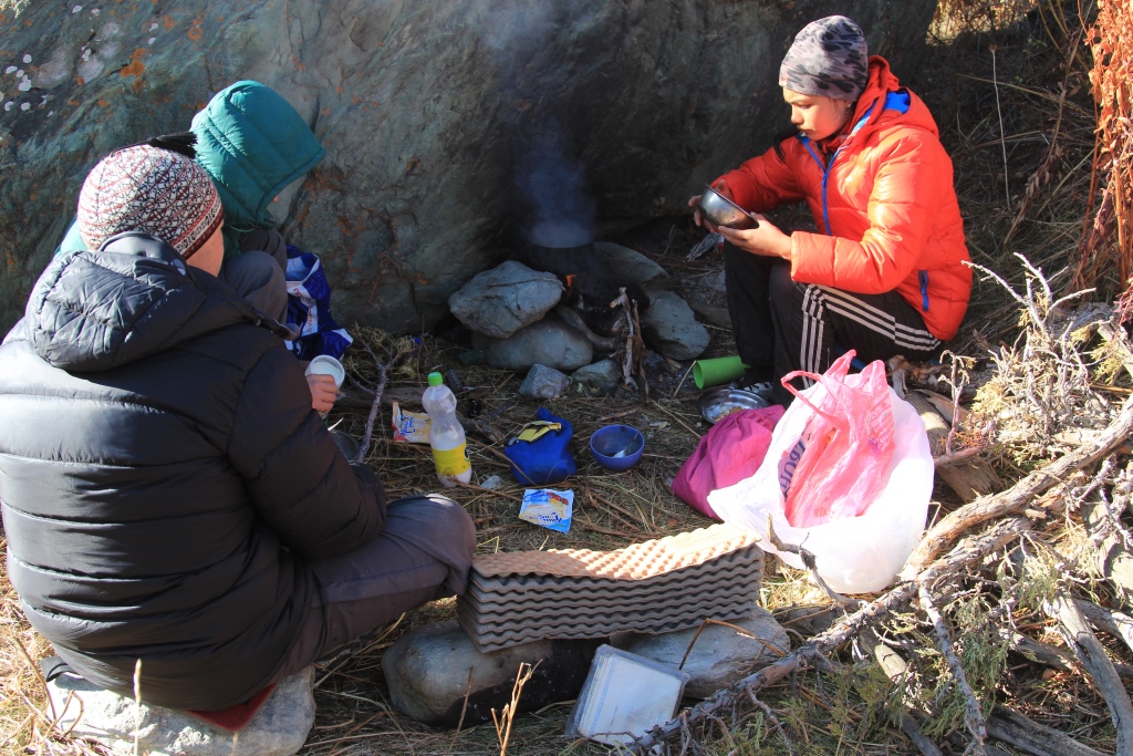
20.09.17.
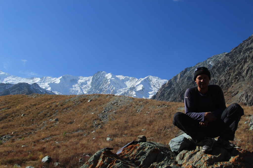
18.
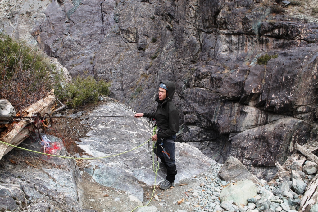
Hydro-meteorological station Fedchenko pass Kasal ayak 4466.
C 14. 4080m.
21.09.17.
19.
pass Kashal ayak . The Glacier Of The Russian Geographic Society (RGO).
C 15. 3406m.
22.09.17.
20.
The Glacier Of The Russian Geographic Society (RGO). River Abdukagor.
C 16. 2628m.
23.09.17.
21.
Reserve day. Reserve days needed for the preparation of the group prior to technically difficult sections of the route, rest and in case of bad weather.
C 17
24.09.17.
22.
Crossing the river Abdukagor .The Village Poimazor. Vanch.
Overnight in Vanjch.
25.90.17.
23.
Vanch .Dushanbe.
Requirements for tourists.
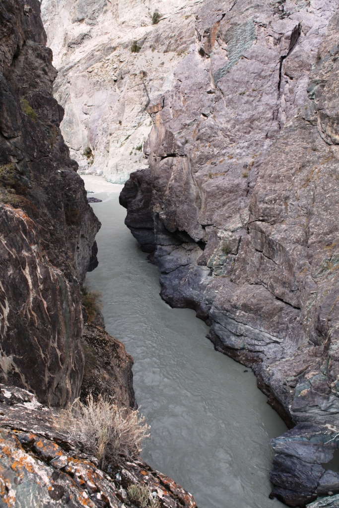
Absence of medical contra-indications to occupations by mountain sports and high-altitude mountaineering. Age limit — not below the age of 20. Good physical preparation. The availability of the necessary equipment. Personal items bedding and personal gear of the tourists themselves.
The staff on the route.
Guide. Allows the passage of the route and the safety of tourists.
Assistant guide. The safety of tourists.
Porters. Carrying food, fuel and equipment for intermediate camps.
The equipment group.
The guides have the necessary safety equipment to ensure the safety of the group during the passage of glaciers and difficult parts of the route.
Intermediate camp, overnight on the route.
Accommodation in tents for 2 person.
Food on the mountain part of the route.
Food along the route consists of the products do not require cooking. Every tourist for Breakfast lunch and dinner will be provided one liter of boiling water ,in which it will be able to cook any dish from a set of products.
№
Position.
assortment
1
warm drink
Tea in assortment. Coffee natural soluble. The dry milk.
Car part of the way. The main pointsDushanbe-Kalai-KhumbKalai-KhumbKalai-KhumbKalai Khumb — RushanBartangBartang YapshorvBartang YapshorvBartang RoshorvBartangBartang NisurBartangBartang SavnobBartang Savnob FortressBartangBartangBartang PasorVanch PoimazarVanch
Photo report of the Club’s team of «AGBA» about the expedition in Shadra ridge with a visit to the base camp under the peaks of Karl Marx and Friedrich Engels.
Task — familiarity with the district, exploration roads, trails, sites for camps. Contacts with the local population, providing services of guest houses and the delivery of goods to base camp.
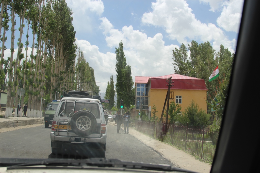
Automotive part was held in the following paragraphs. Dushanbe, Khorog, kalaihumb, Ishkashim, Vrang, Langar lane, Khargush, Bulunkul, Yashilkul, Dzhelandy, Khorog, Dushanbe (Pamir the small ring).
The pedestrian part. Langar, base camp(3967м) peak Engels, Wrang, Iniv, base camp(3870 m) peak of Karl Marx.
The tasks carried out.
Dear fellow hikers-climbers, just travelers!
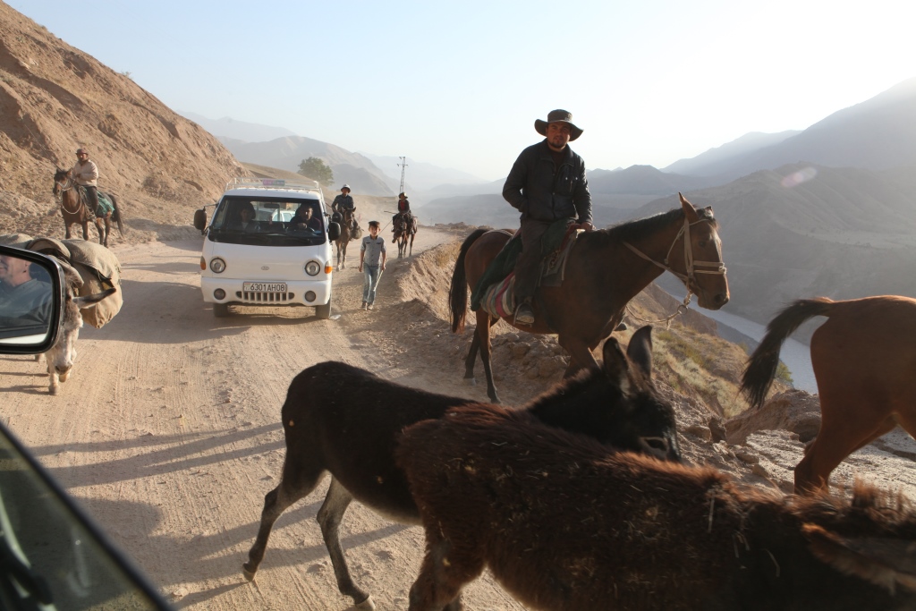
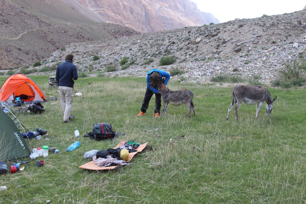
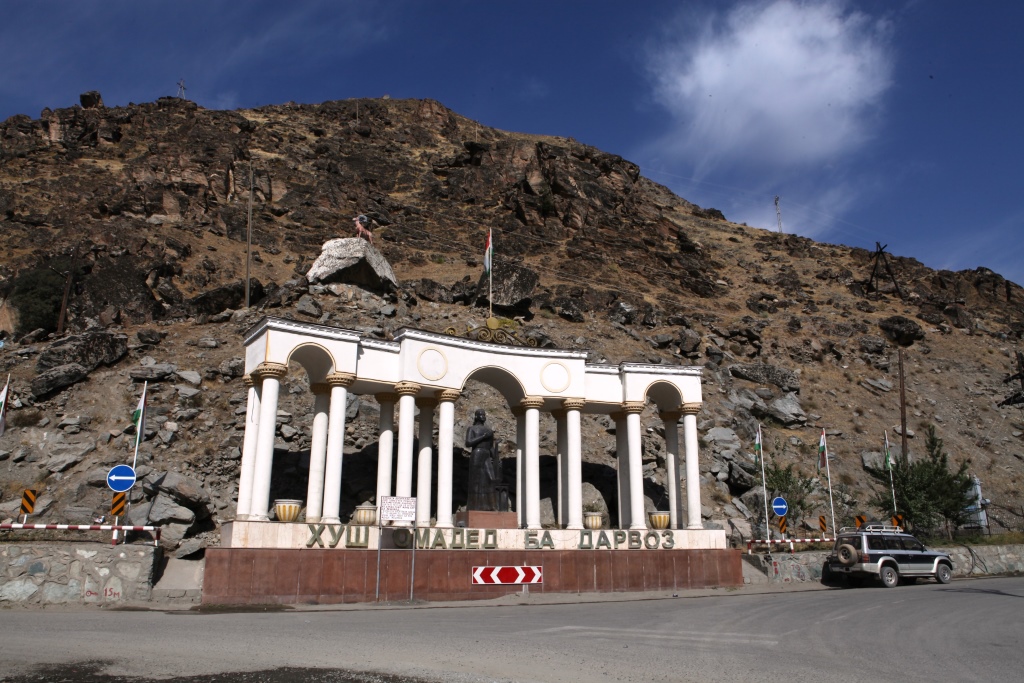
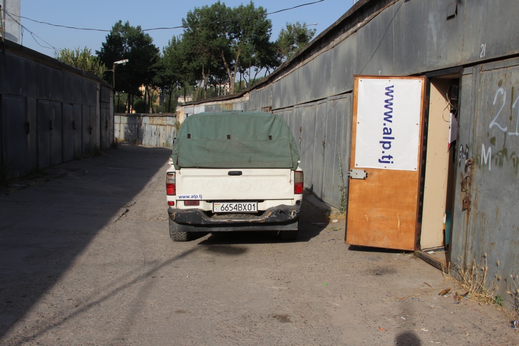
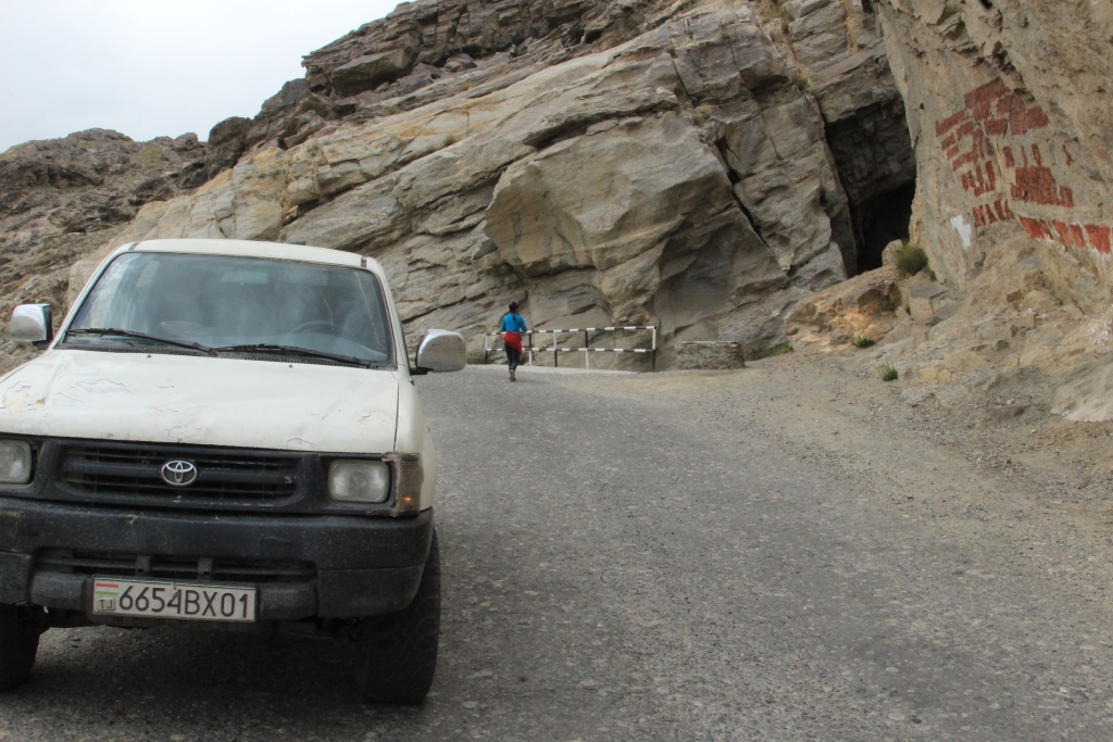
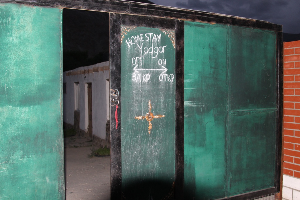
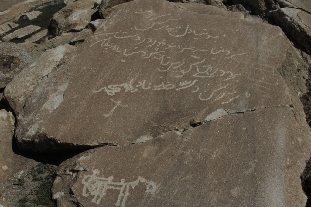
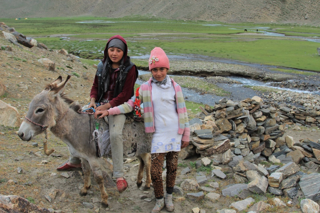
Garage No. 21 Start 24 June 2016.The gates of the city of Kulyab.Waterfall . Highway M 41.Rubob.Darvaz. The Gate Of The Pamir.Highway M 41.Highway M 41.Highway M 41.Highway M 41.Highway M 41.Highway M 41.Highway M 41.Highway M 41.Highway M 41.Highway M 41.Holiday «Vahdat» (Day of reconciliation) Khorog.Holiday «Vahdat» (Day of reconciliation) Khorog.Классический памирский интерьер.Beauty gathered on the holiday.Ishkashim travel.Ishkashim –Langar.Ishkashim –Langar.Ishkashim –Langar.Ishkashim -Langar.The source of mineral water.Guest house. Yadgar. Langar.Guest house. Yadgar. Langar.Guest house. Yadgar. Langar.Langar.The petroglyphs.Langar.The petroglyphs.Langar.The petroglyphs.Drovers of donkeys.Base camp under the southern slopes of the peak Engels.The Afghan pressure cooker, an essential thing in high-altitude base camp.Work in the kitchen.And on the horizon the Hindu KushAt night the wolves feastedEngels peak.Engels peak.Engels peak.The mountains of the peak district EngelsThe mountains of the peak district EngelsThe mountains of the peak district EngelsThe mountains of the peak district EngelsThe mountain flowers.The mountain flowers.The mountain flowers.The mountain flowers.The mountain flowers.Madina. Strong personality.The lake in the vicinity of the base camp.The lake in the vicinity of the base camp.The lake in the vicinity of the base camp.Meadow and base camp under the peak of Engels.Meadow and base camp under the peak of Engels.Pass (4750 m).Pass (4750 m).At the peak of Engels bad weather.At the peak of Engels bad weather.Girls from the summer pastures.Girls from the summer pastures.Girls from the summer pastures.Girls from the summer pastures.The Village Inew.The Village Inew.The Hindu KushThe Hindu KushThe valley of the river Panj.Wrang.In base camp under the peak of Karl Marx.In base camp under the peak of Karl Marx.In base camp under the peak of Karl Marx.In base camp under the peak of Karl Marx.I The first time Karl Marx peak, we saw this.Karl Marx peak to the South.Karl Marx peak to the South.Karl Marx peak to the South.Edelweiss.A sacred place.Teresken.Room. Summer pasture.People from the summer pastures.People from the summer pastures.People from the summer pastures.People from the summer pastures. Bek.People from the summer pastures.People from the summer pastures.People from the summer pastures.People from the summer pastures.Evening riding on a donkey.Evening riding on a donkey.Evening meeting.The plans for tomorrow.The Pamir path.The Wakhan people.The Wakhan people.The Wakhan people. Zarbash.The Wakhan people. Bahtovar.The Wakhan people. Nazri.To the East.The Afghan Bank of the river Pamir.On the Khargush pass.Khargush Pass.4344 M.The lake.Khargush Pass.4344 M.Bulunkul.Bulunkul.Bulunkul.Bulunkul.Bulunkul.Bulunkul.Bulunkul.Bulunkul.Bulunkul.Bulunkul.Yashilkul.Yashilkul.Alichur.On the way home.On the way home.On the way home.On the way home.On the way home.The last day of the trip.17.07.2016.
Anyone interested who wants to visit the area. I am pleased to share the information collected.
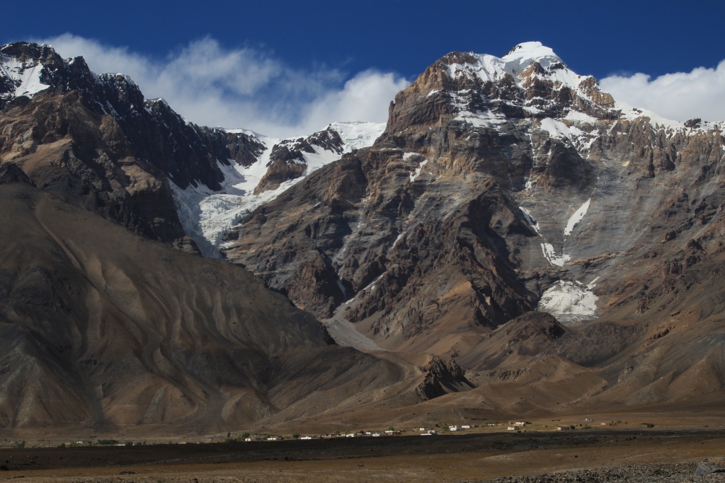
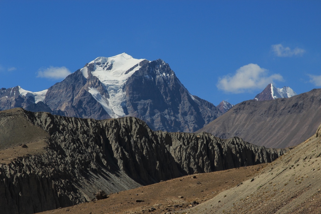
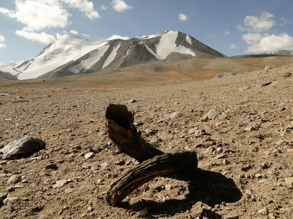
4 South Alichur ridge is situated on the South of Pamir, on the left share of the river Alichur. The total length is about 150km. The river adjoins 3 km to Sharhdarian ridge. The highest pick is Kisildangr mountain (5706m). Significant spurs adjoin to Bakchigir ridge (35km) and to Bachor ridge (25km). The slope is covered with highland desert plans. There is a nival (relating to regions of perpetual snow). Landscape on the altitude 4200-4500m. Snow line on the north is on the altitude 4900-5150m, on the south-4900-5300m. Total area of glaciers is 68 square km. There areabout to passes with automobile lines and routes in this ridge and in its spurs. Main route of camping lies from north (Pamir track), from South (Pamir Valley).
Kisldangi Mountain.
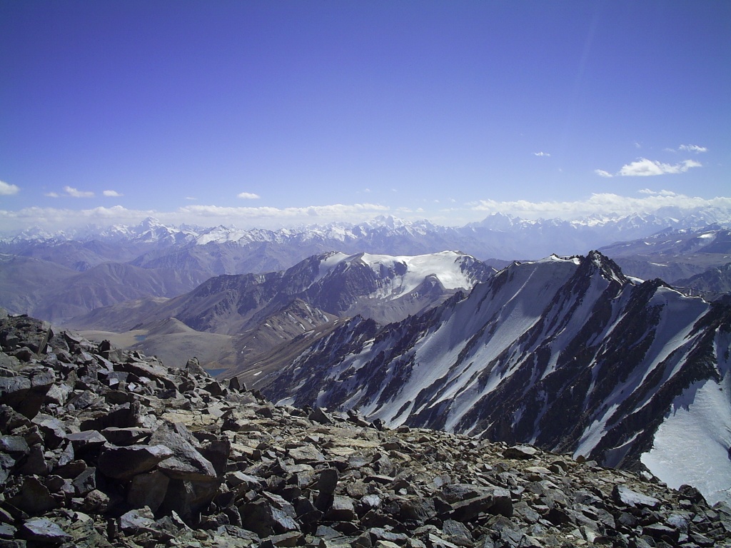
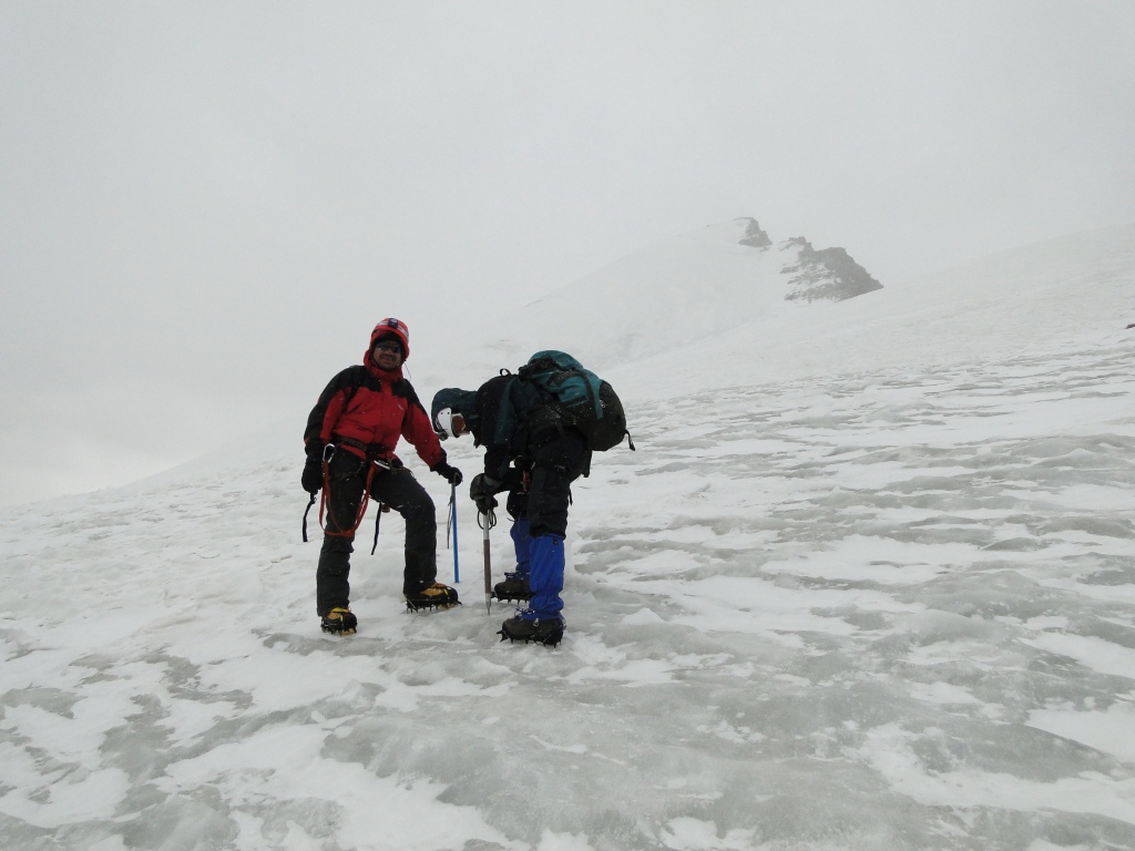
We climbed from the north side of koiytezek pass. One can drive to the mountain. The simplest route is through south ridge. The route is not difficult 2a-2b, snowy glacier. It will take one luminary day. Splendid sight of Eastern Pamir, Shakhdarian ridge is seen from the pick.
Альпинизм скалолазание горный туризм в Таджикистане