Горный поход команды Клуба «Агба» в южных отрогах Гиссарского хребта.
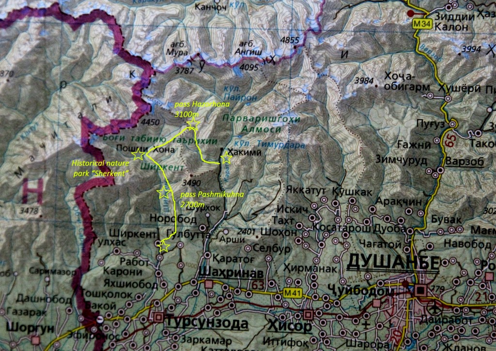
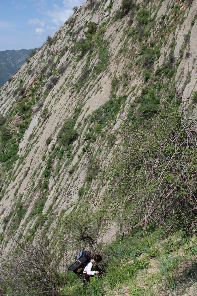
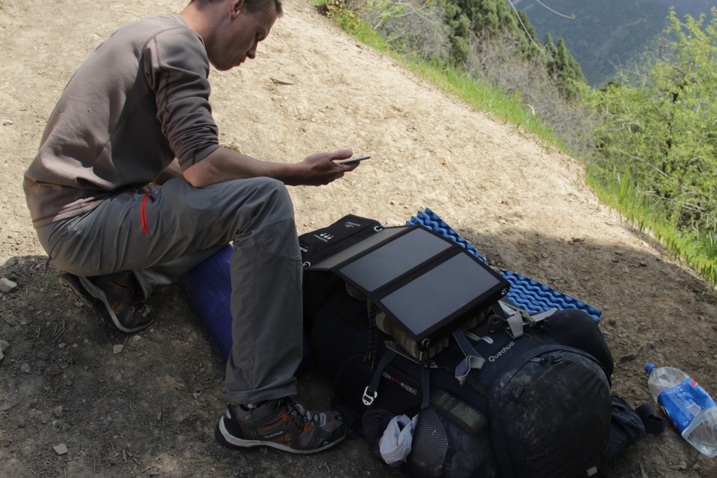
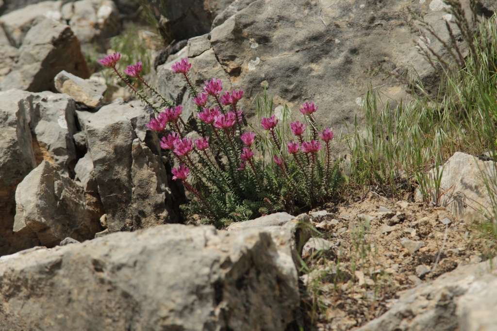
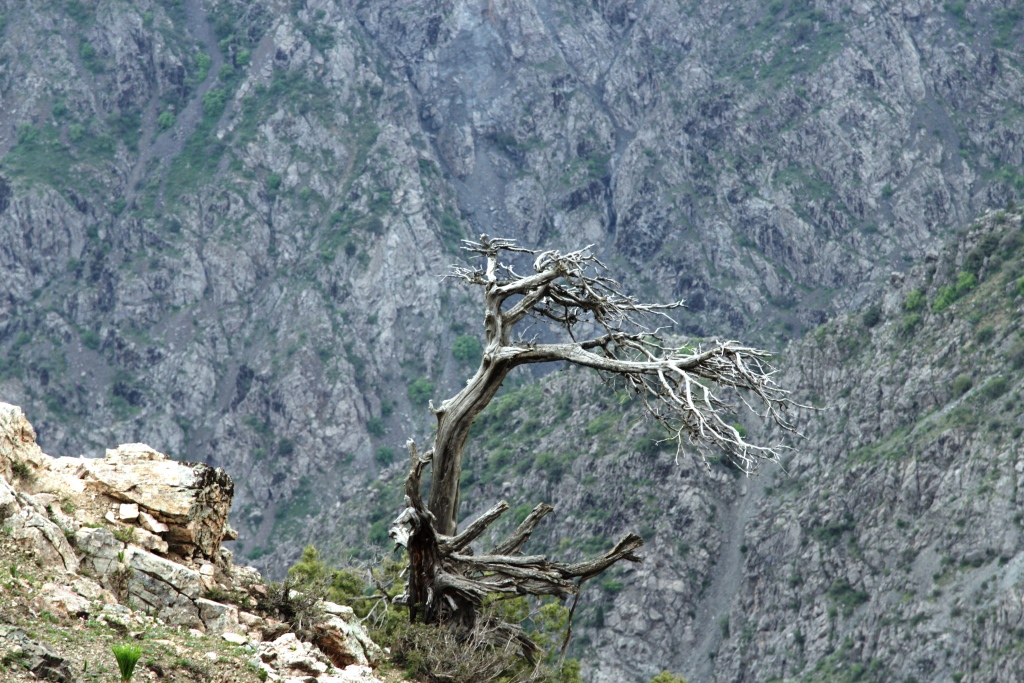
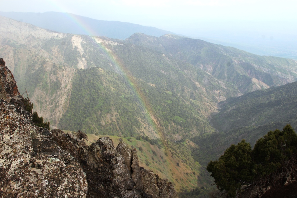
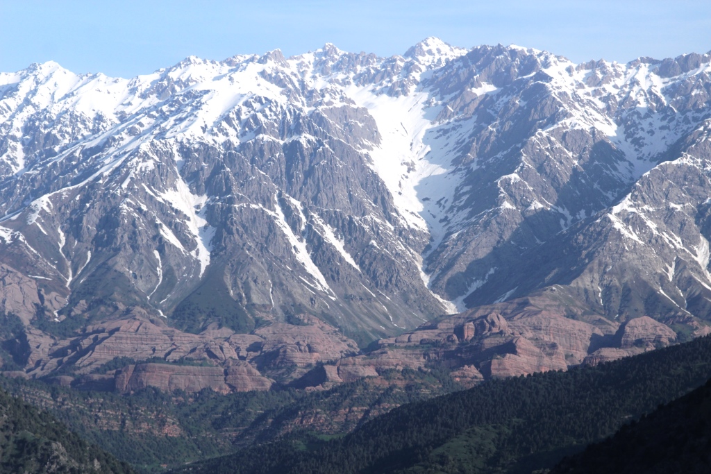
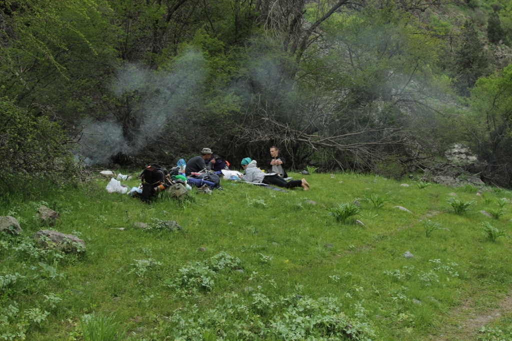
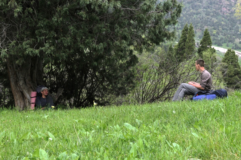
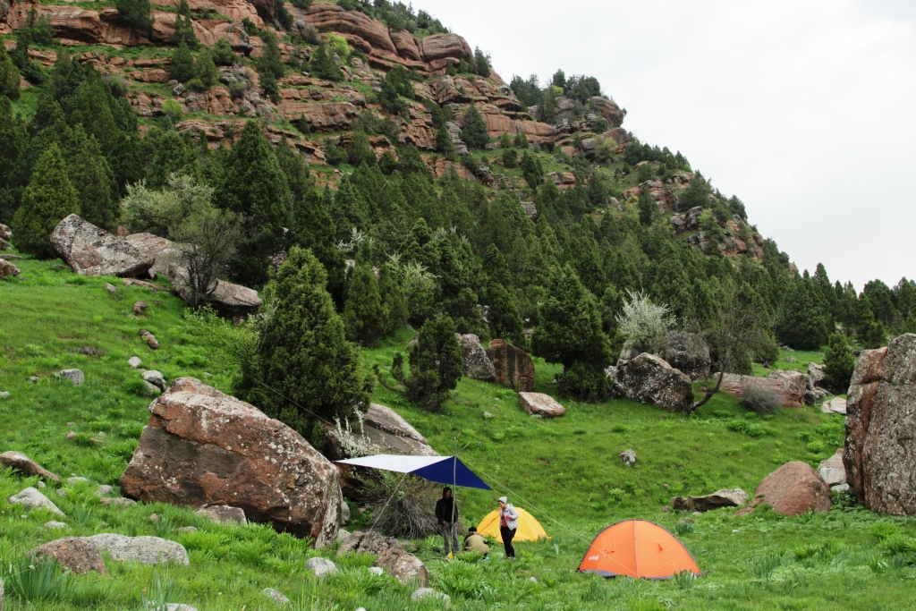
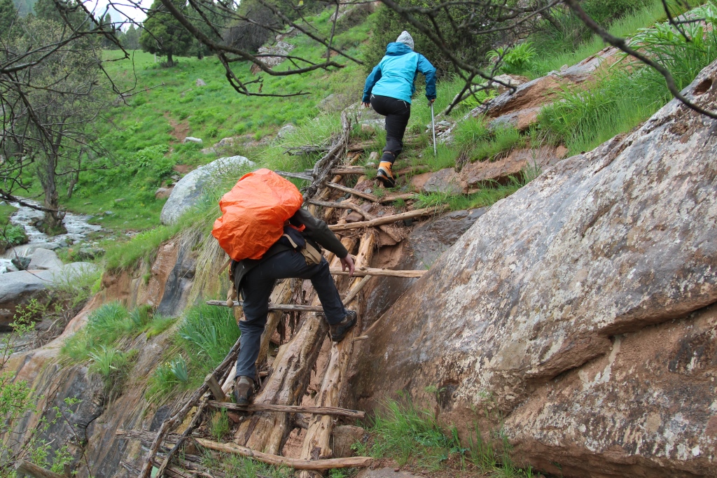
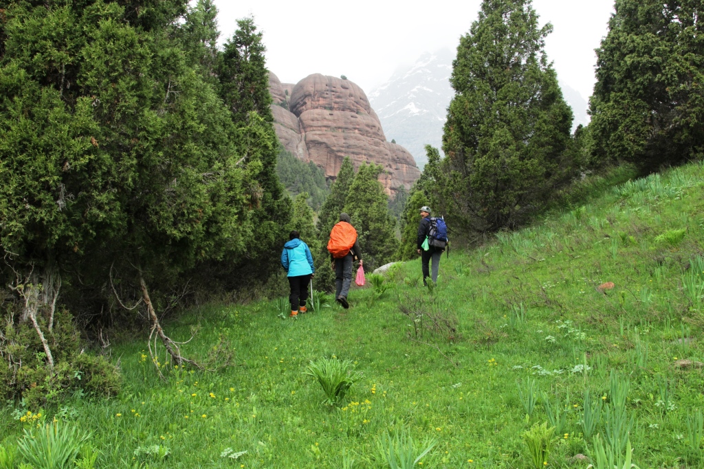
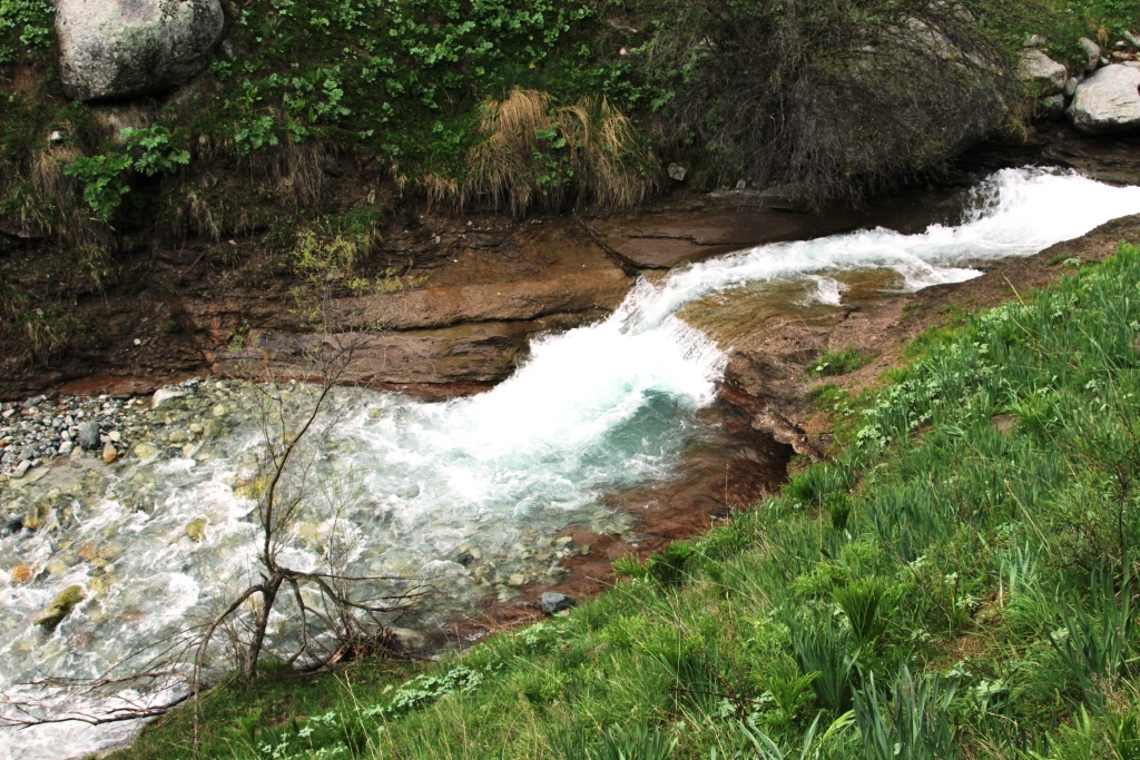
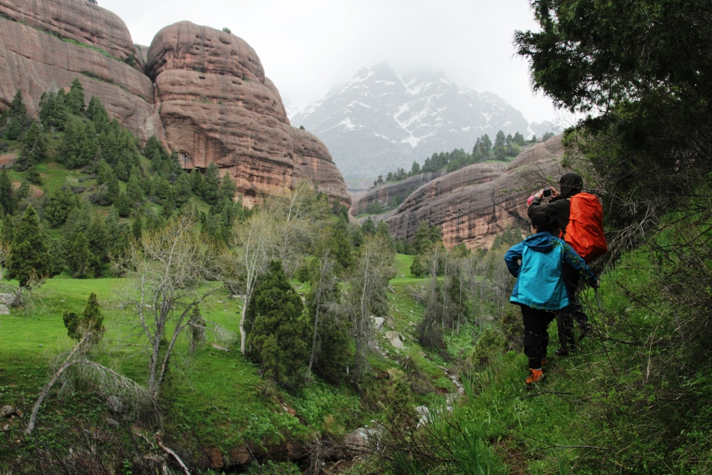
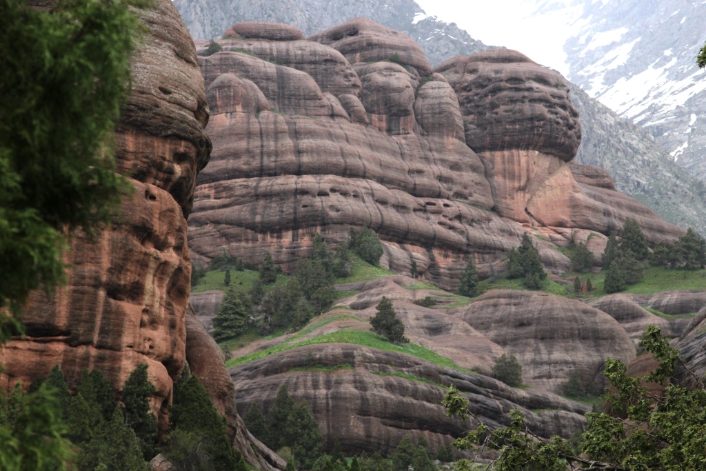
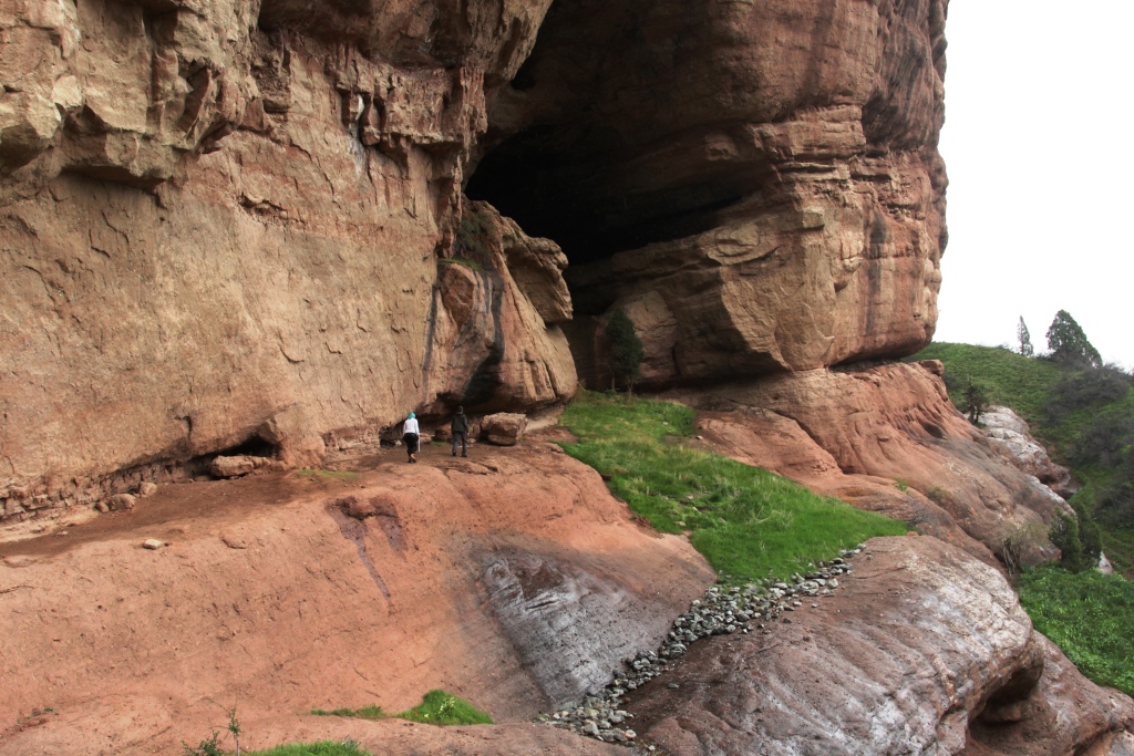
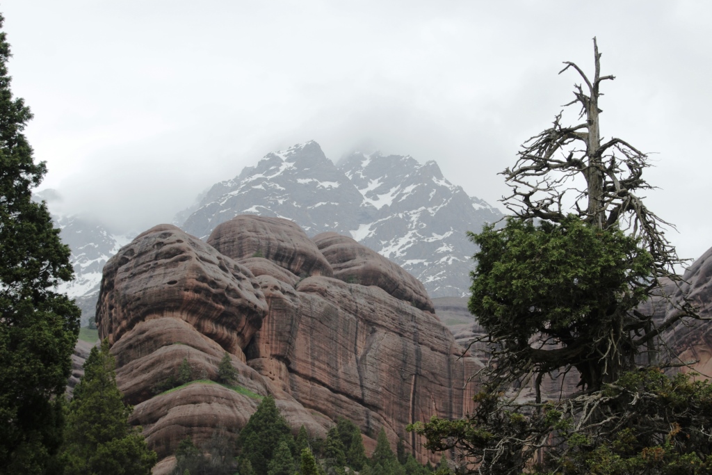
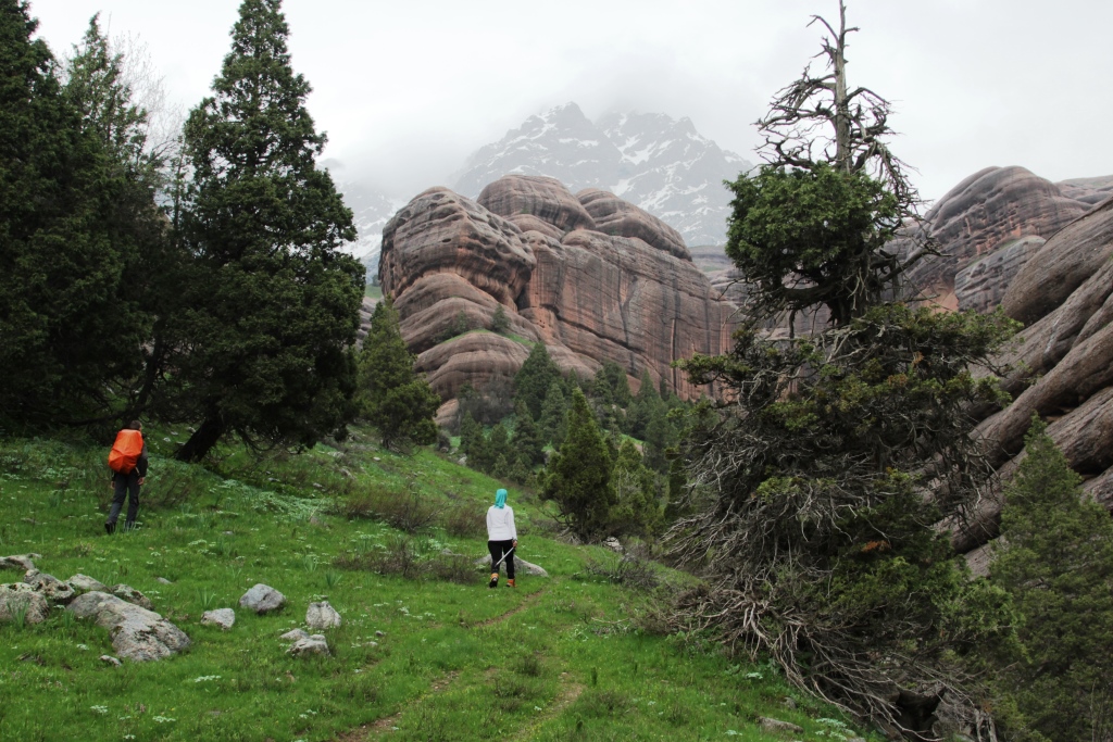
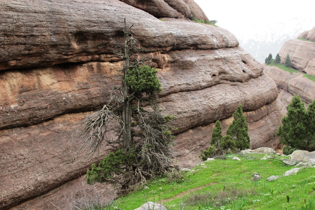
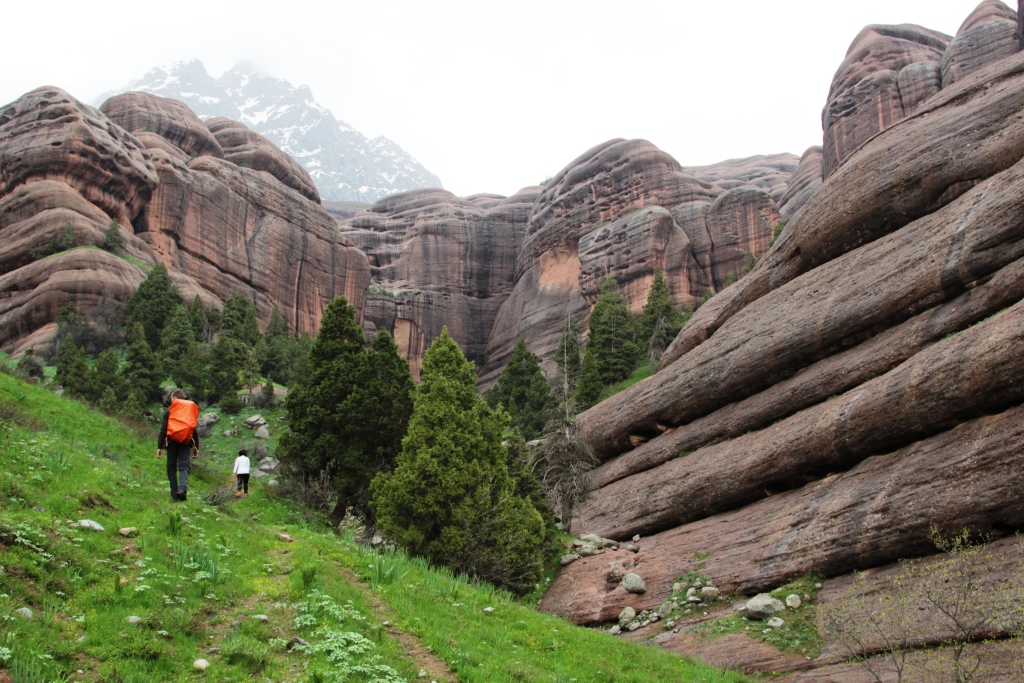
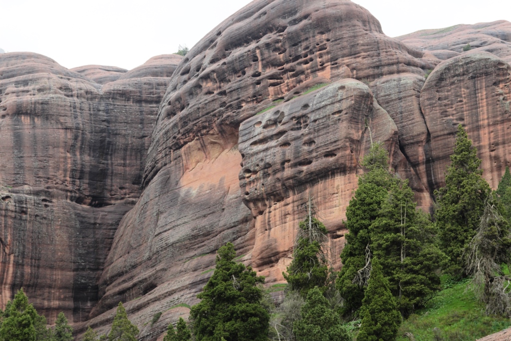
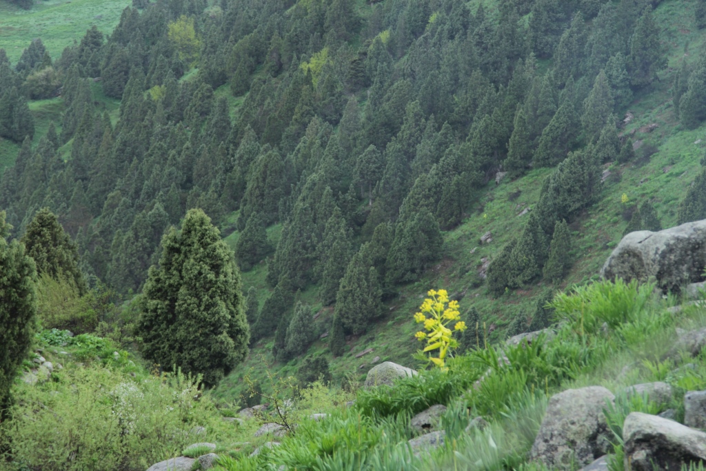
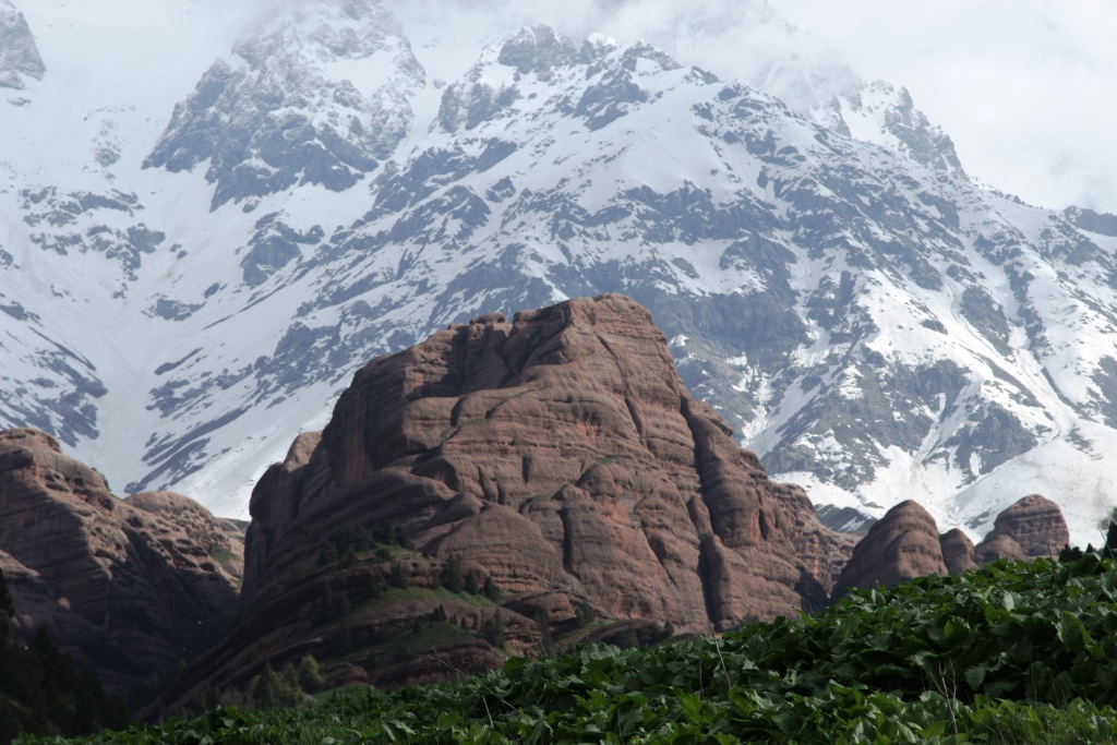
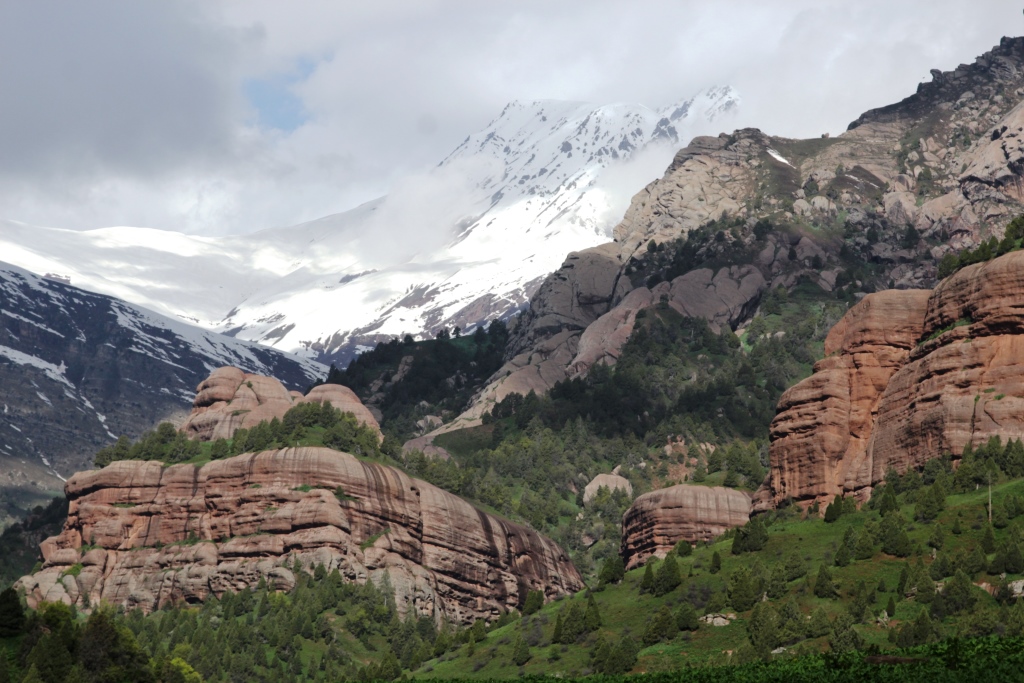
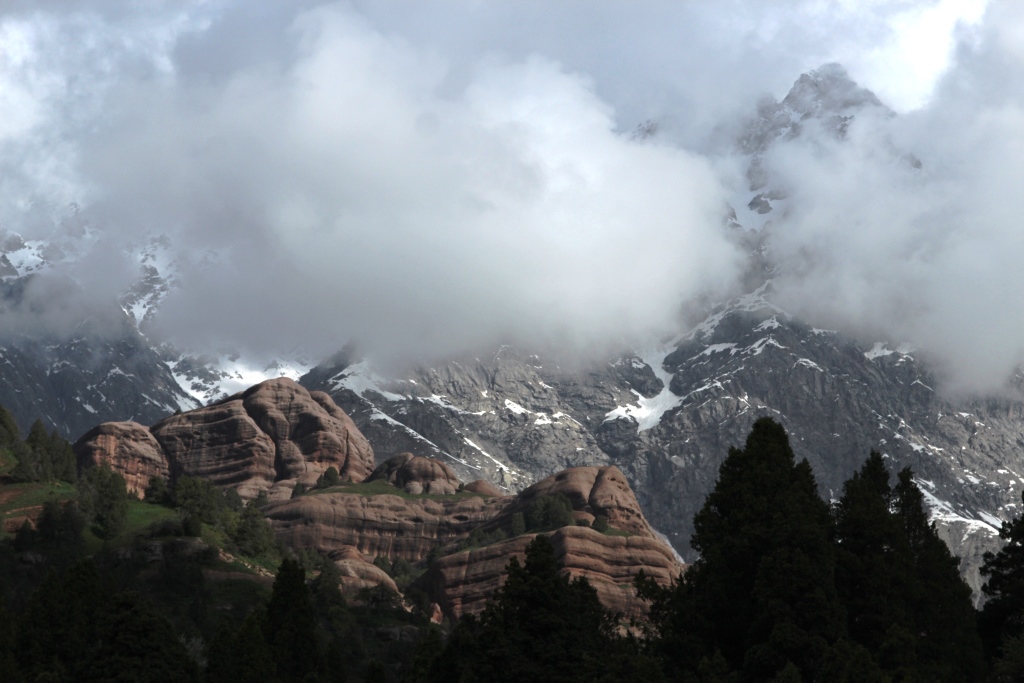
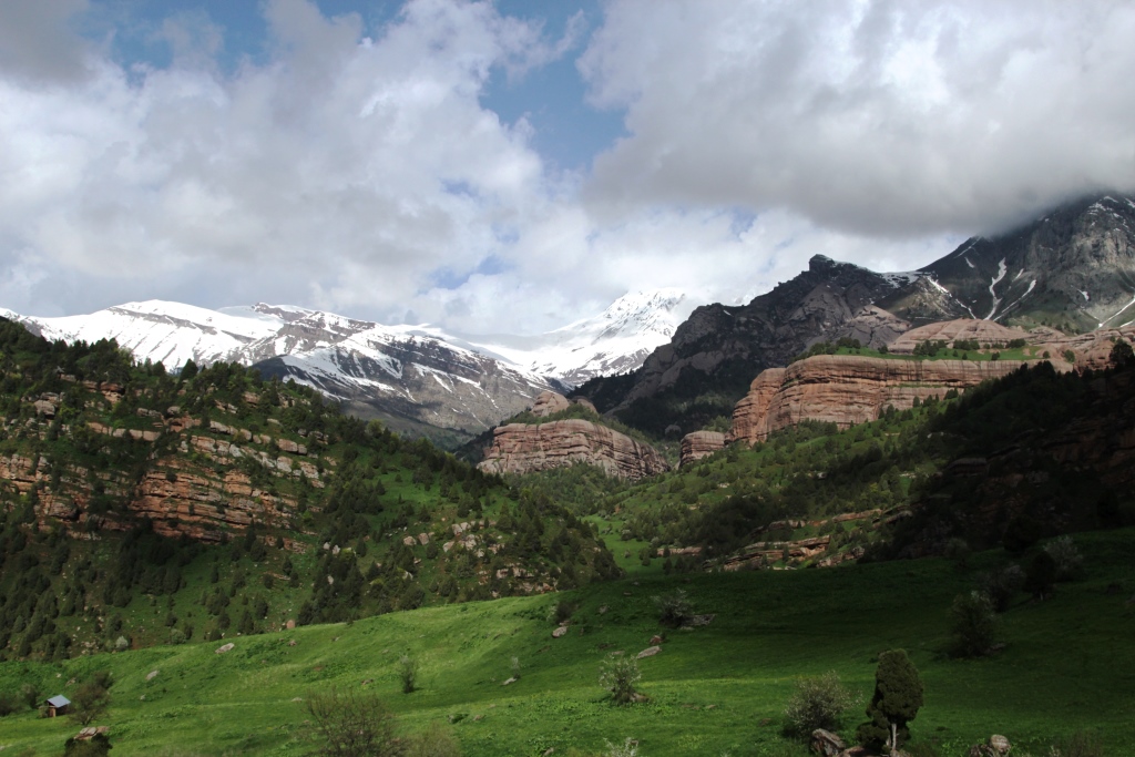
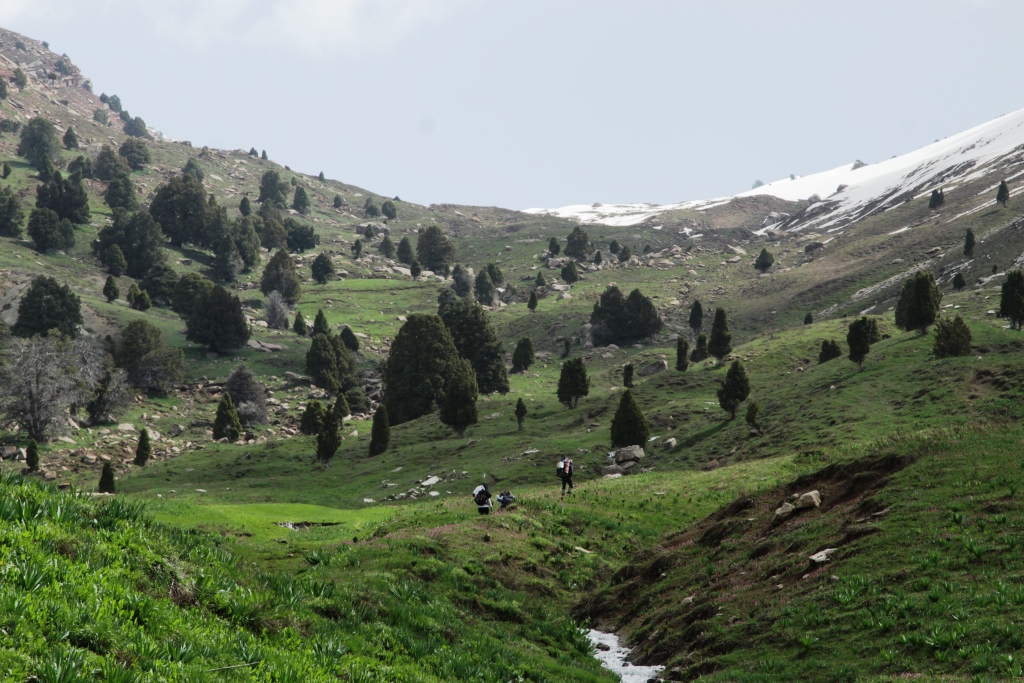
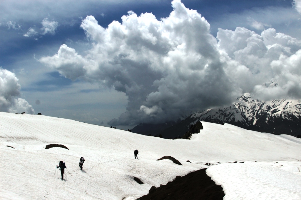
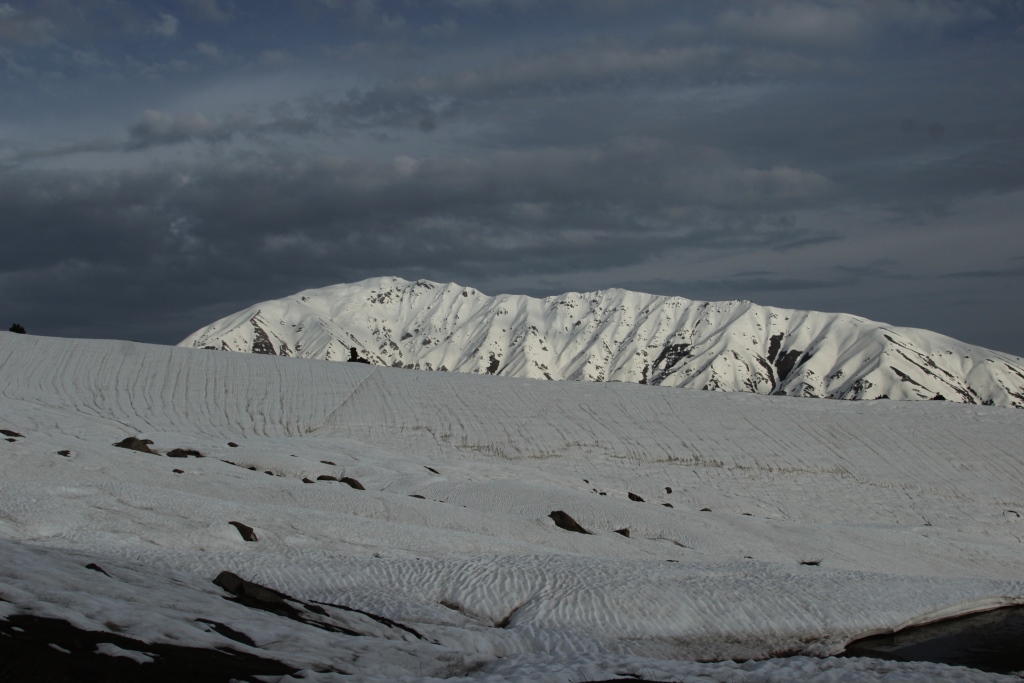
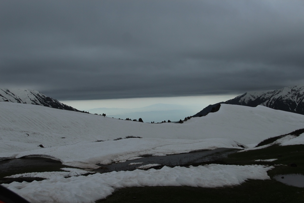
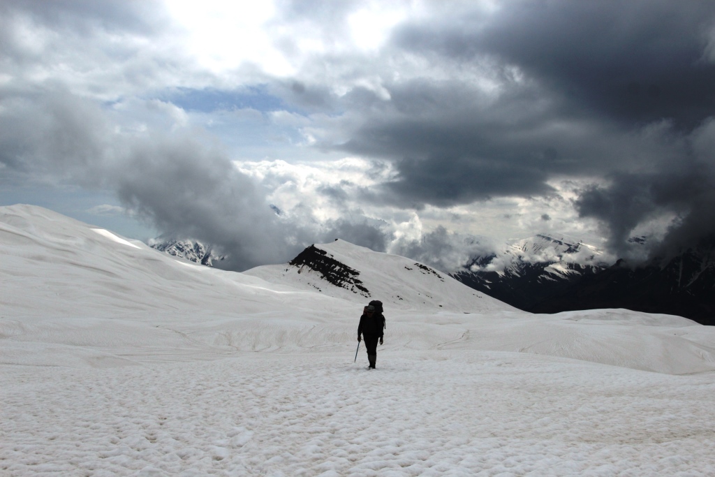
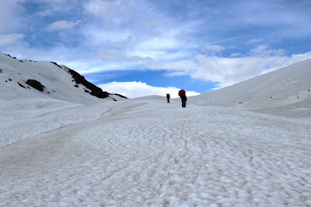
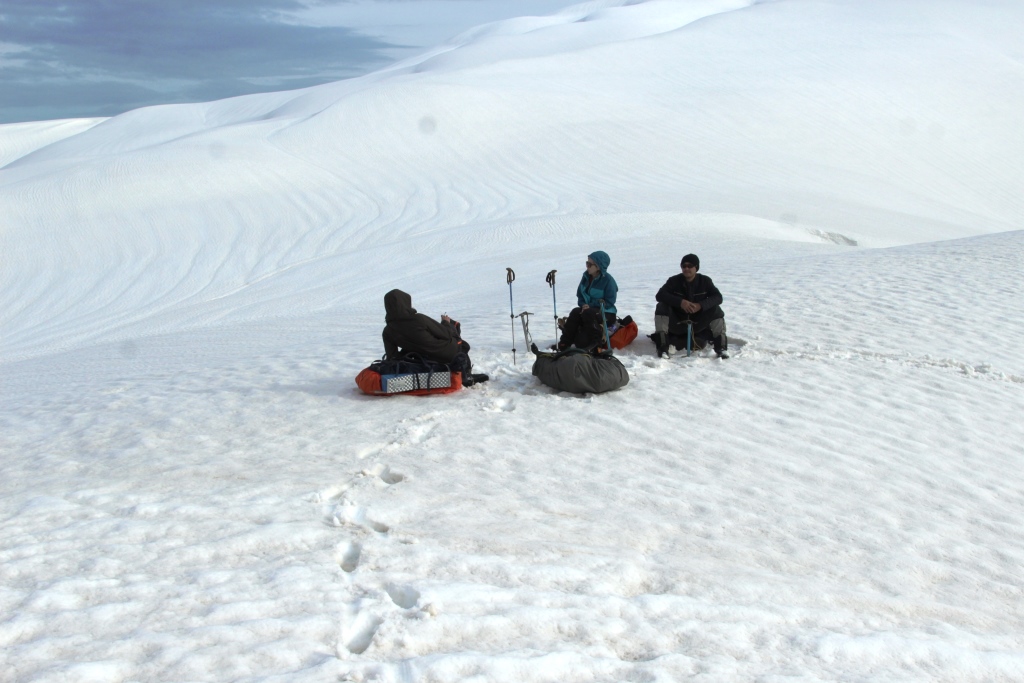
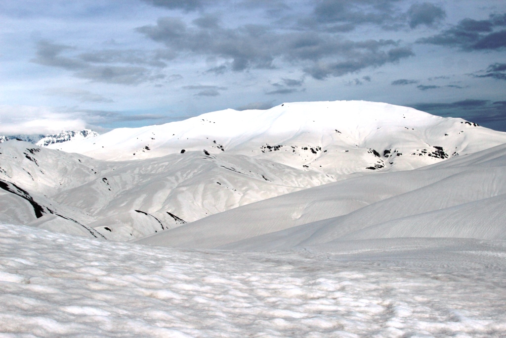
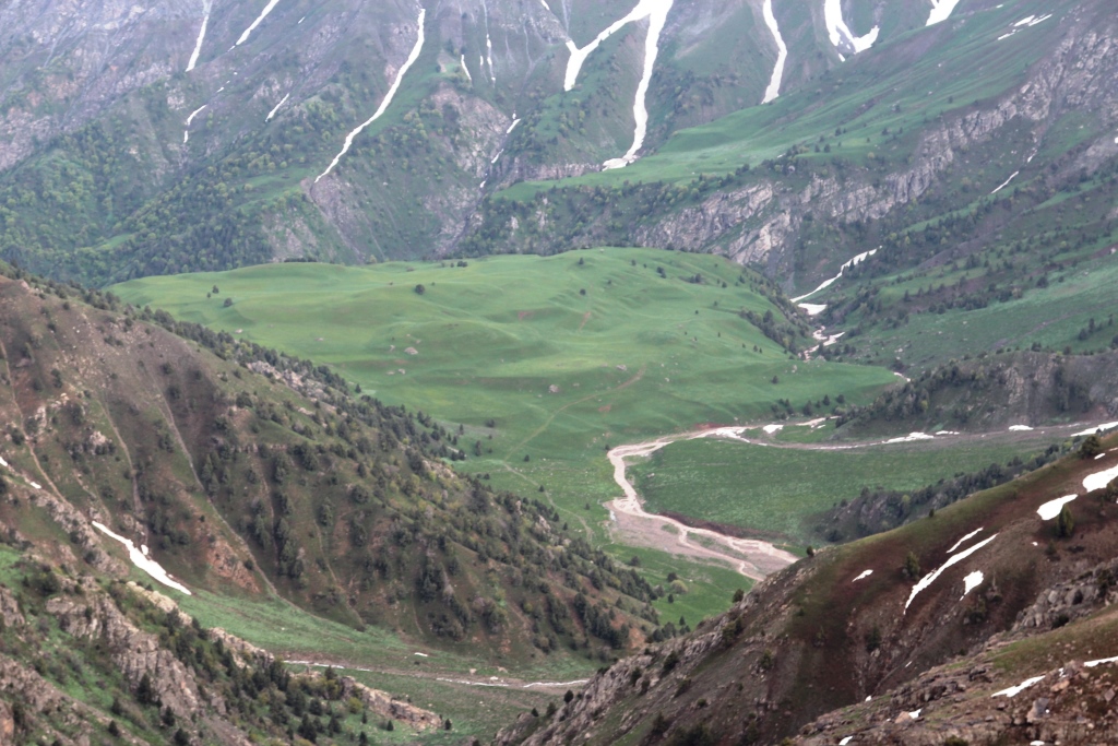
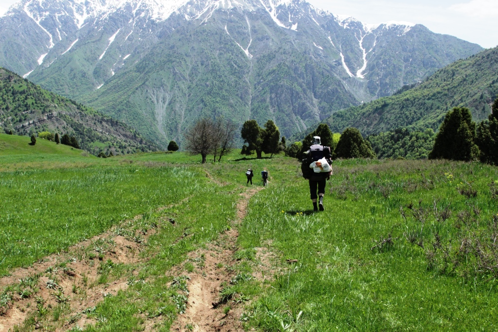
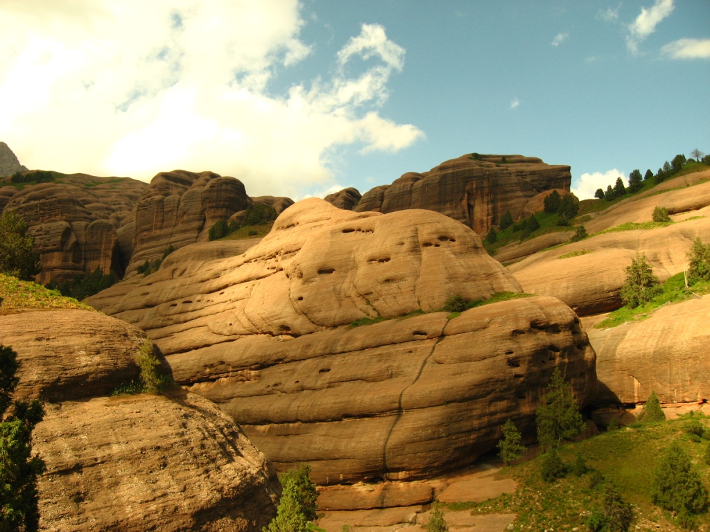
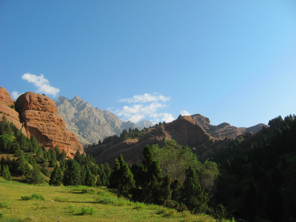
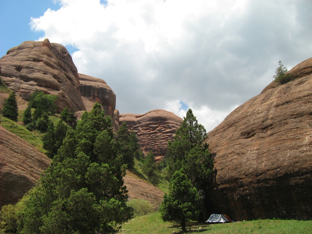
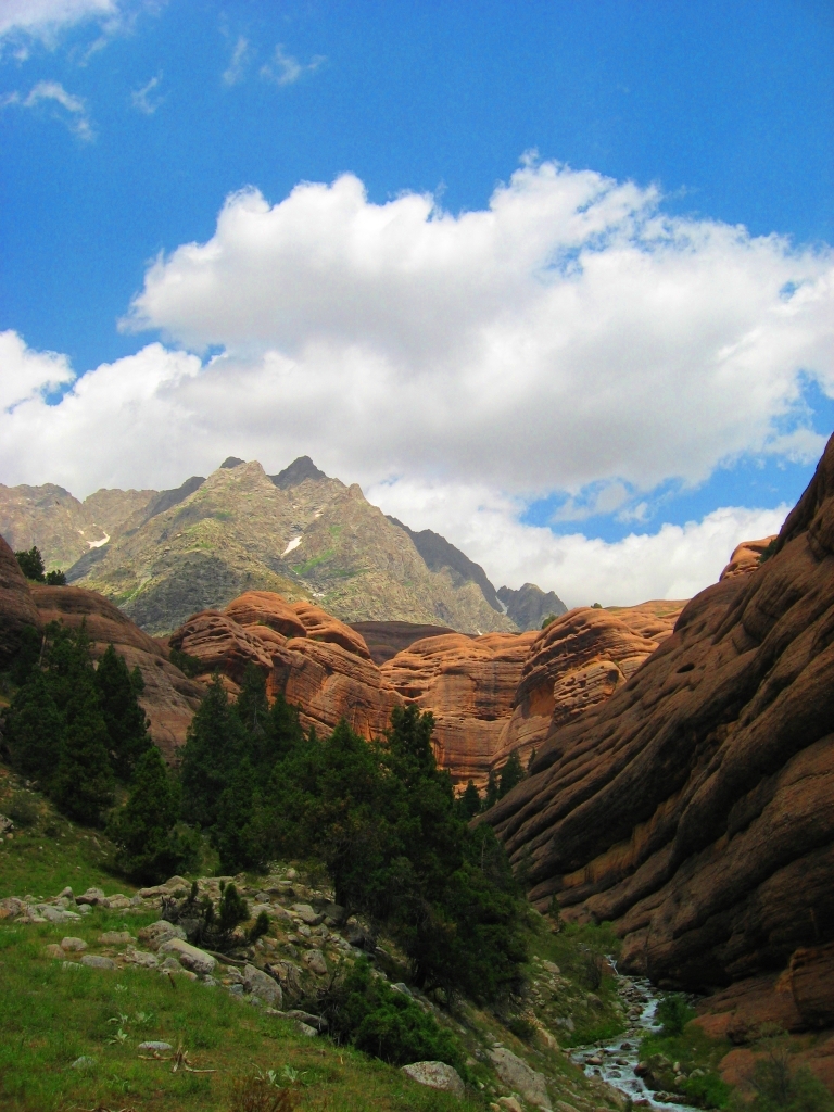
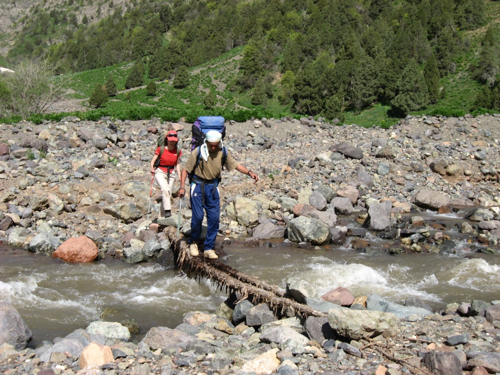
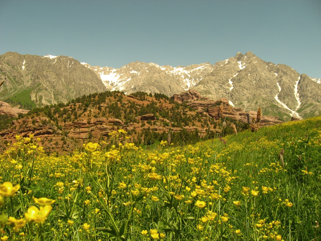
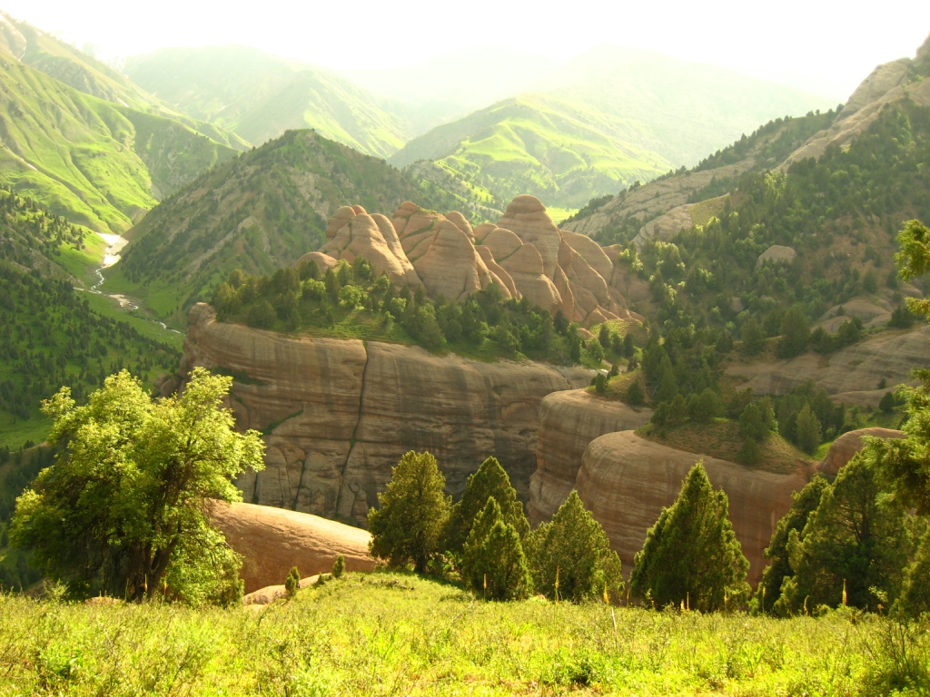
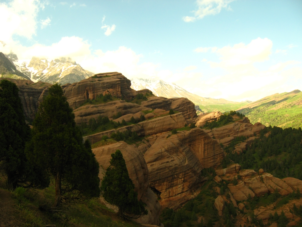
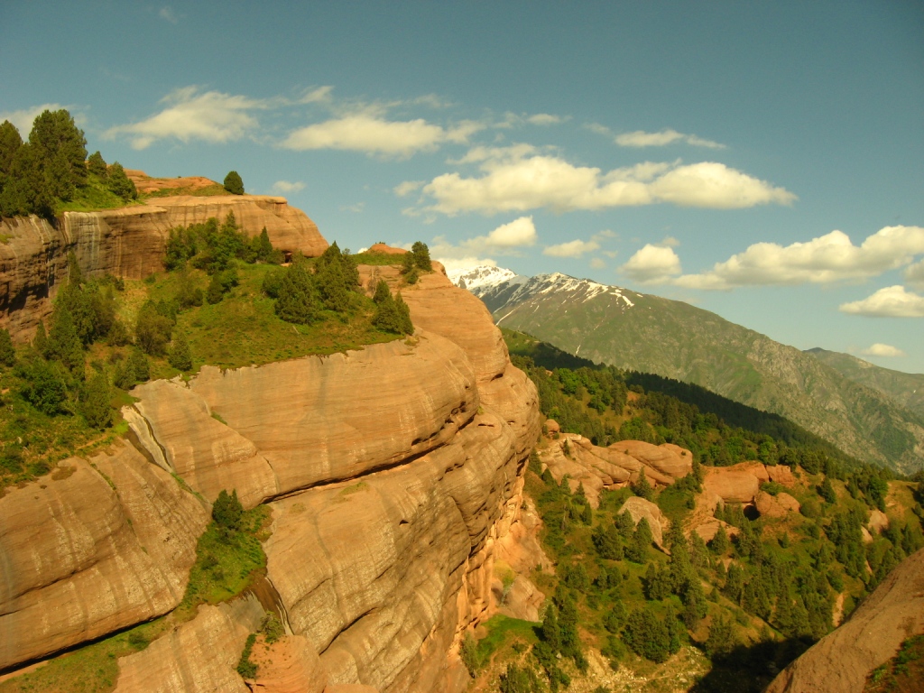
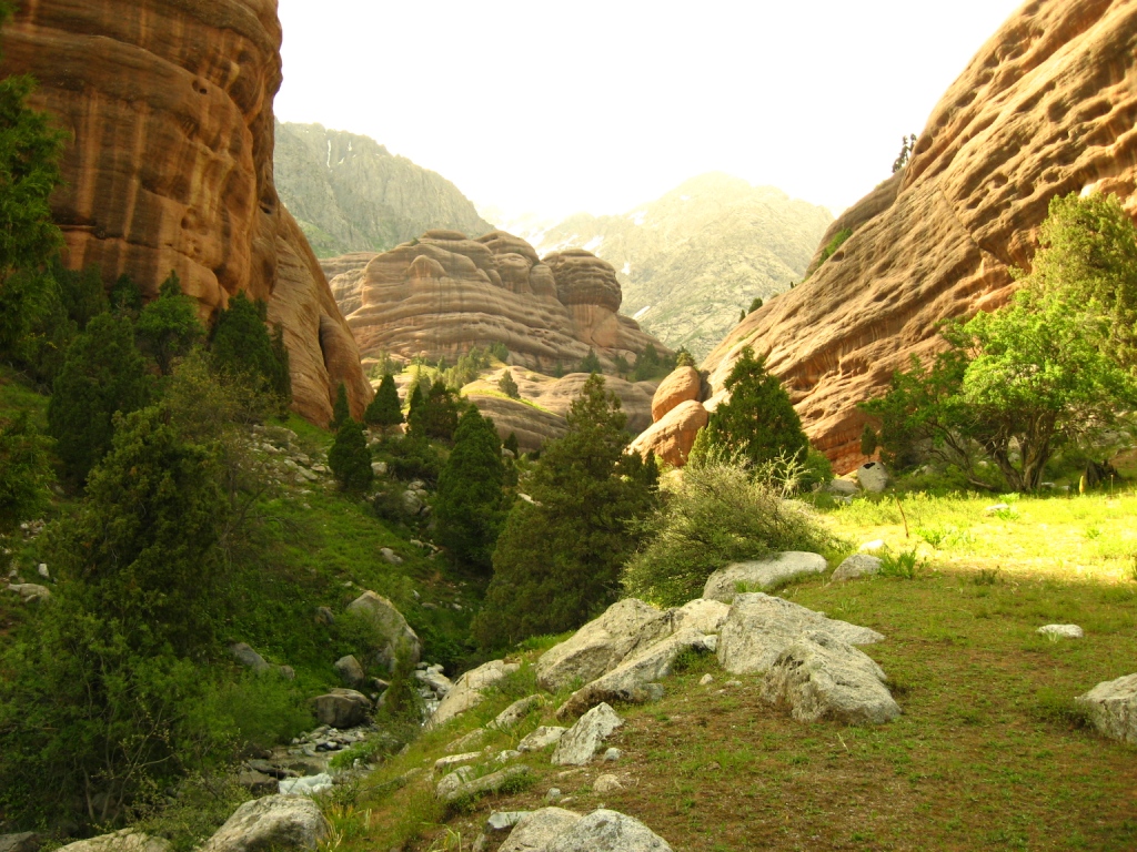
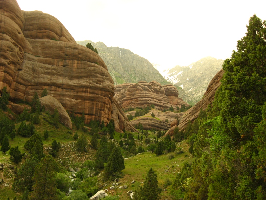
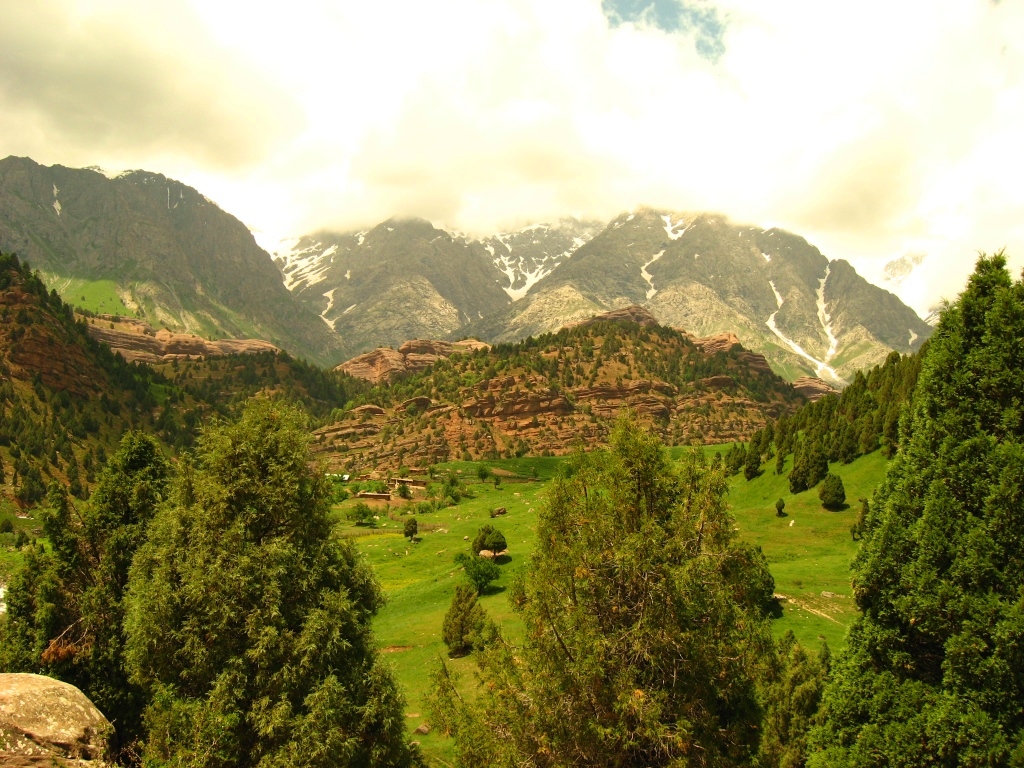
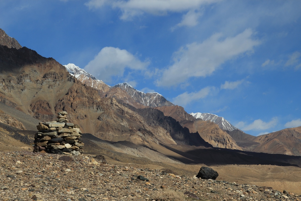
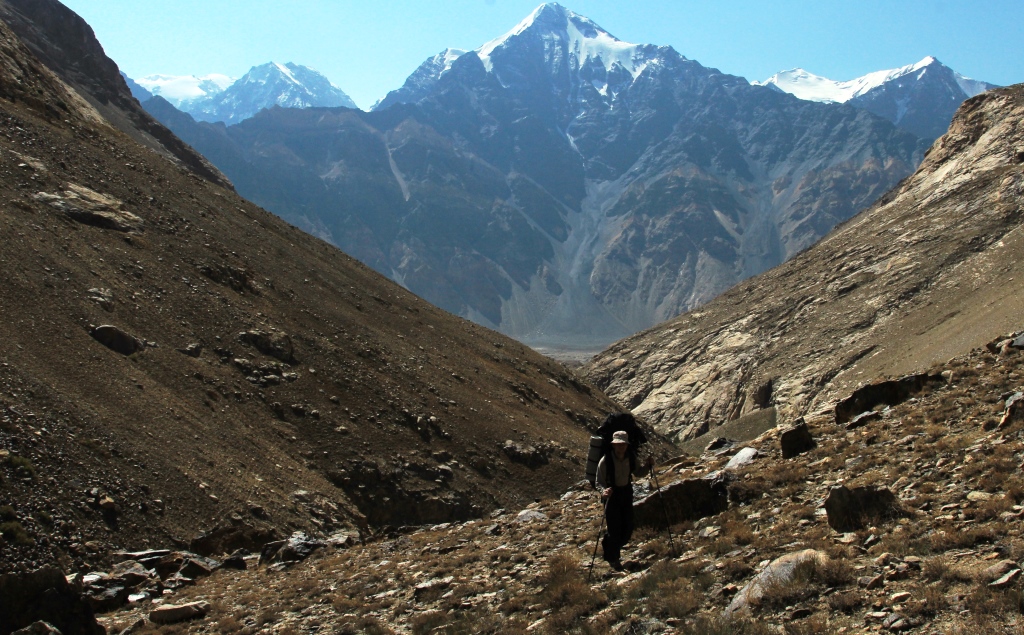
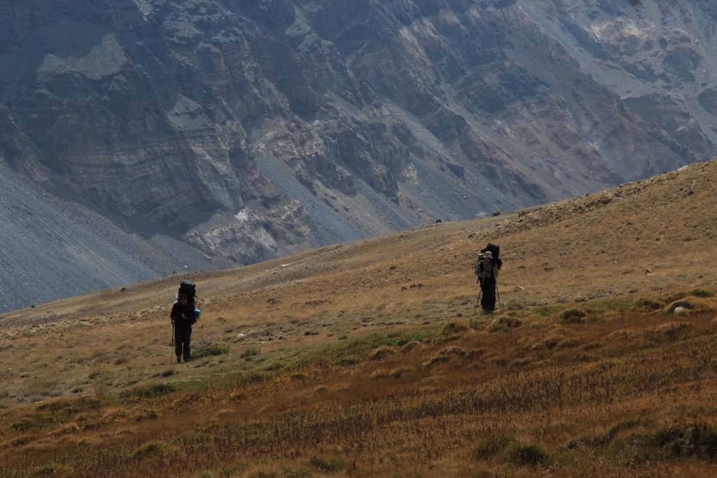
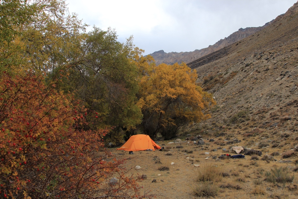
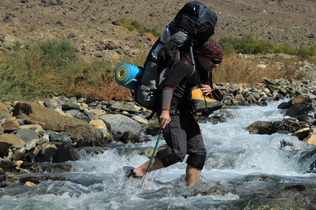
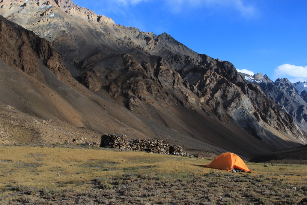
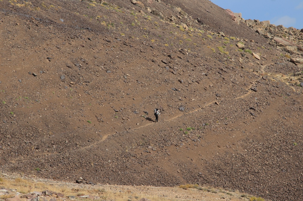
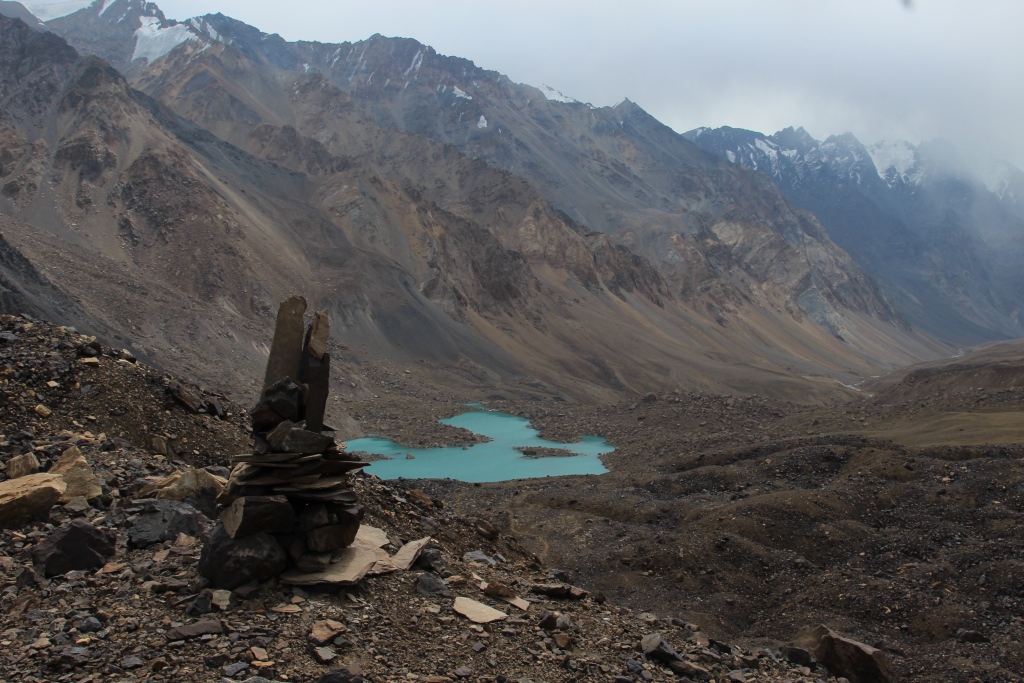
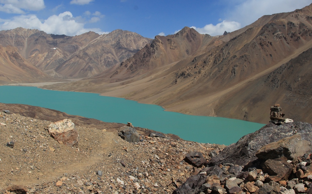
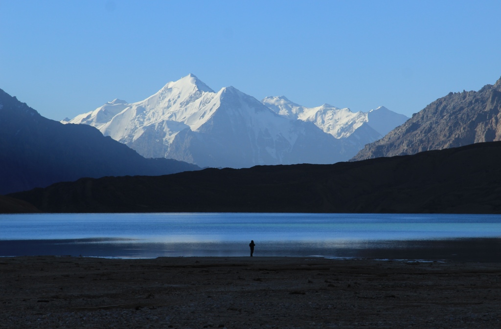
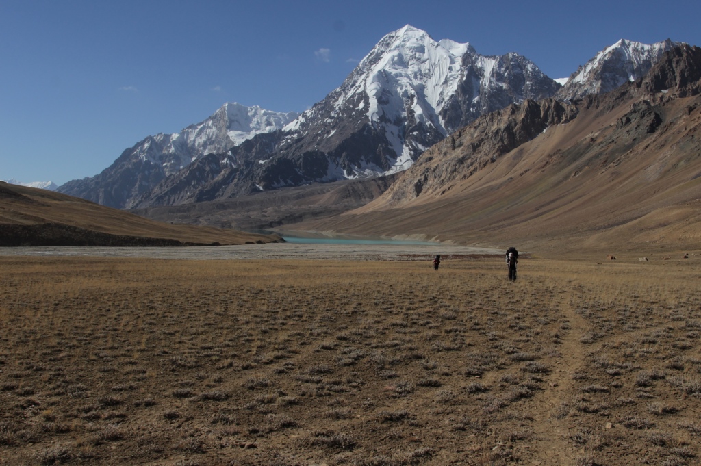
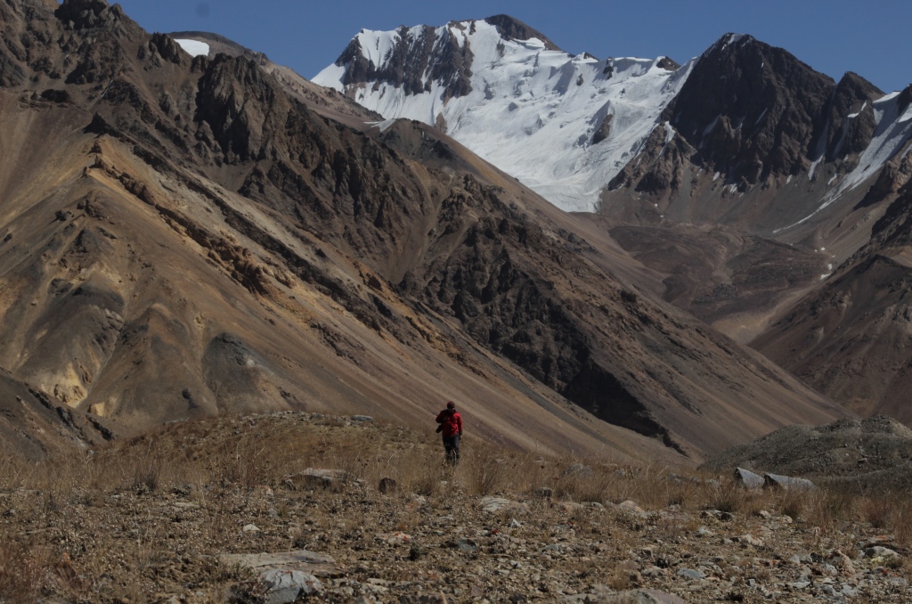
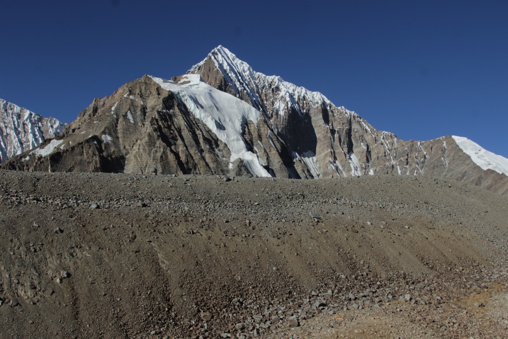
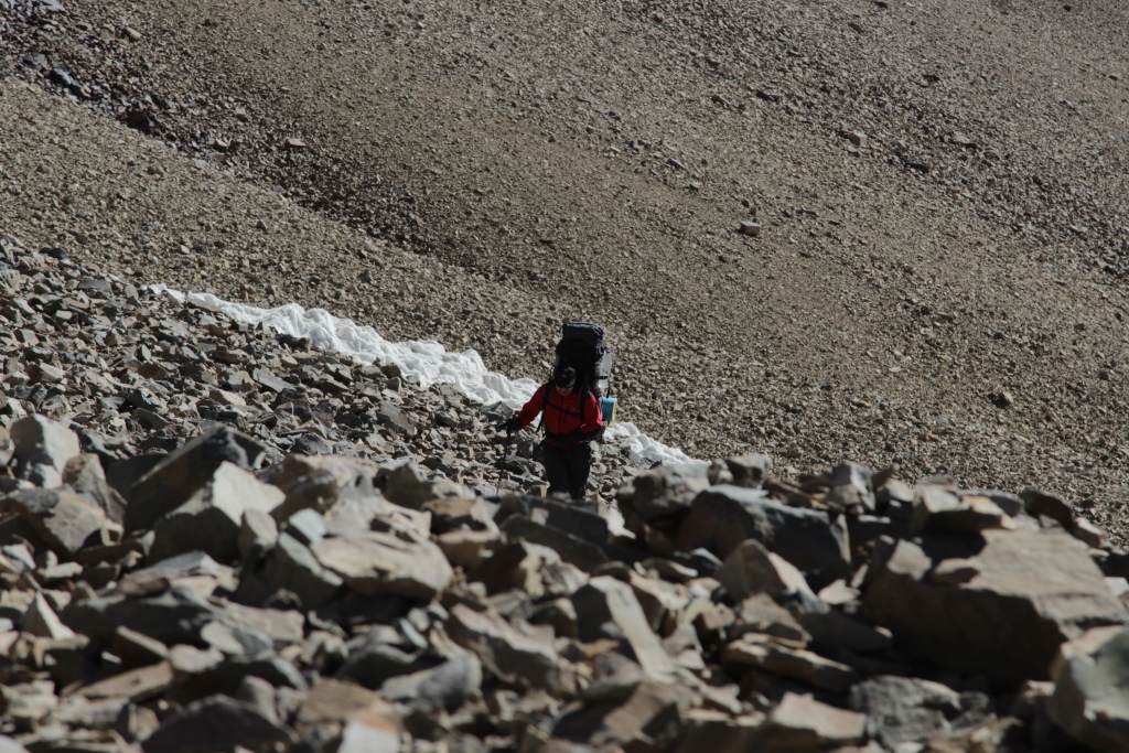
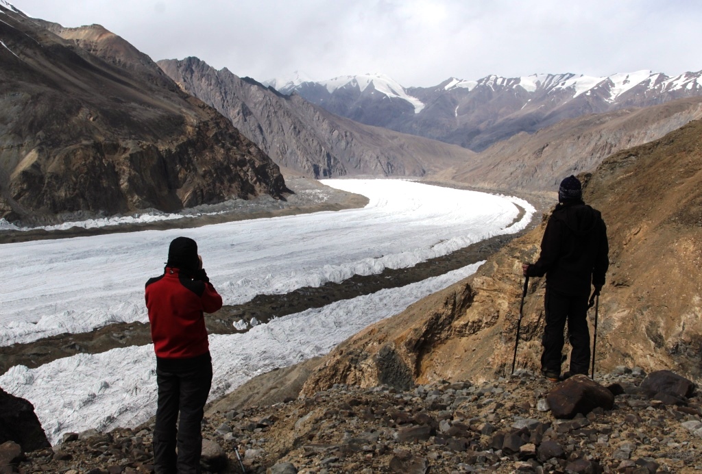
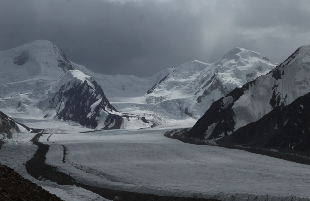
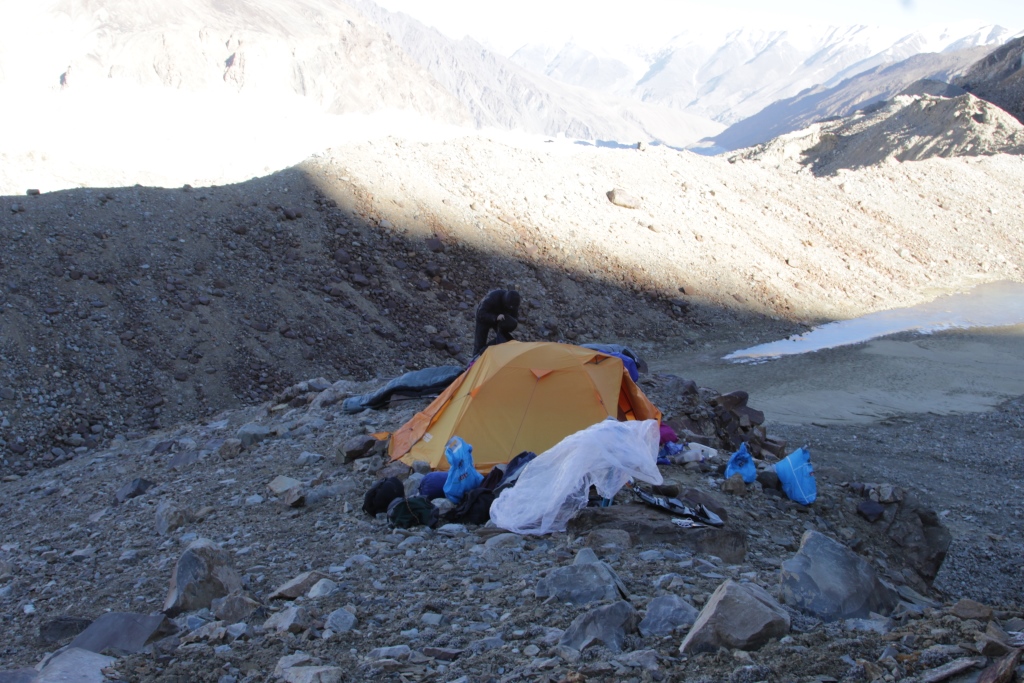
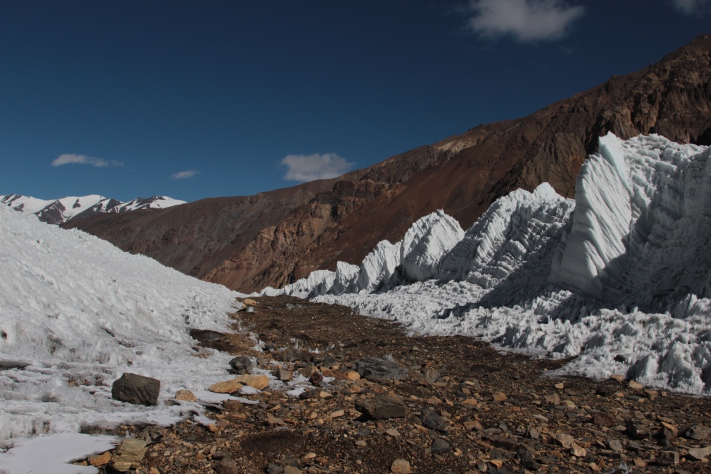
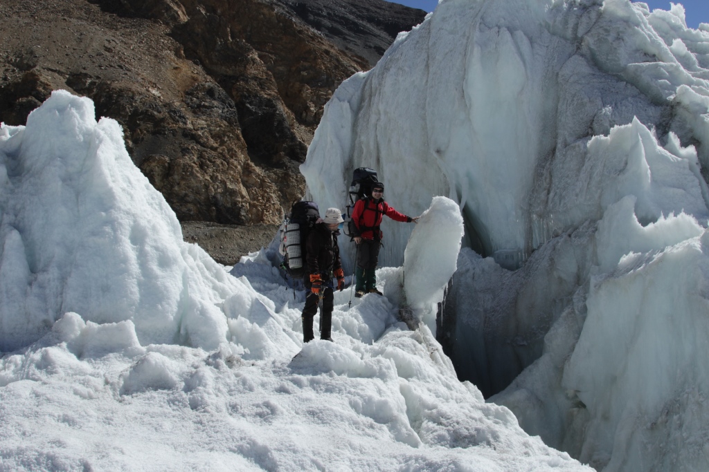
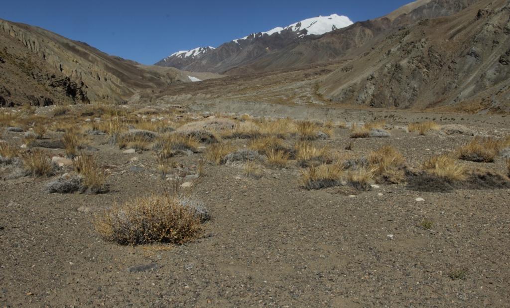
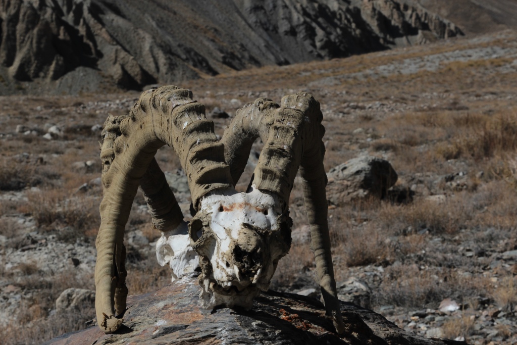
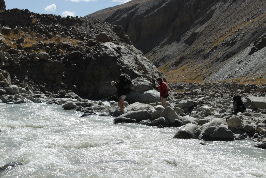
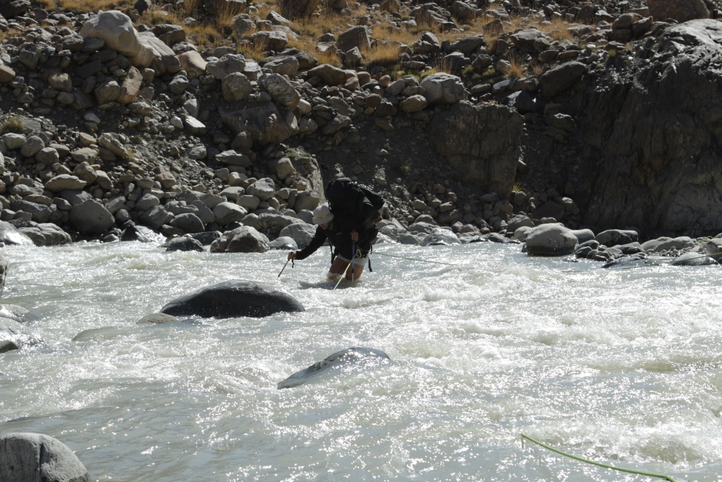
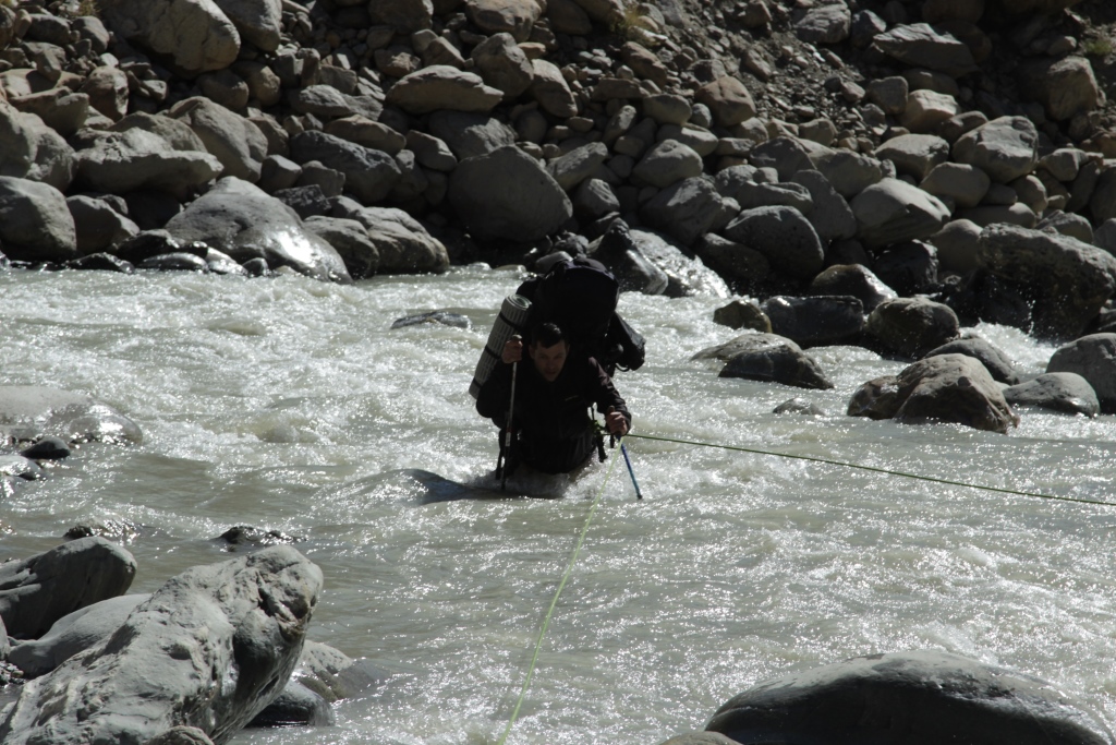
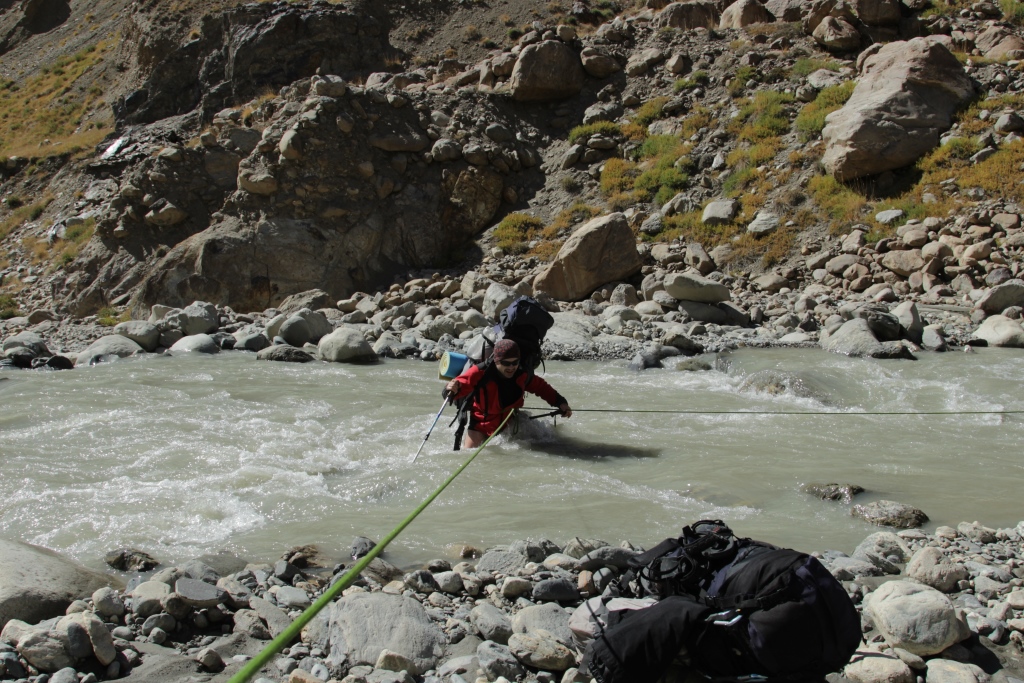
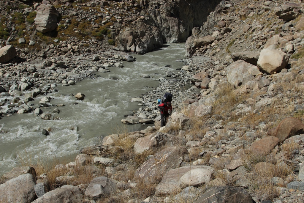
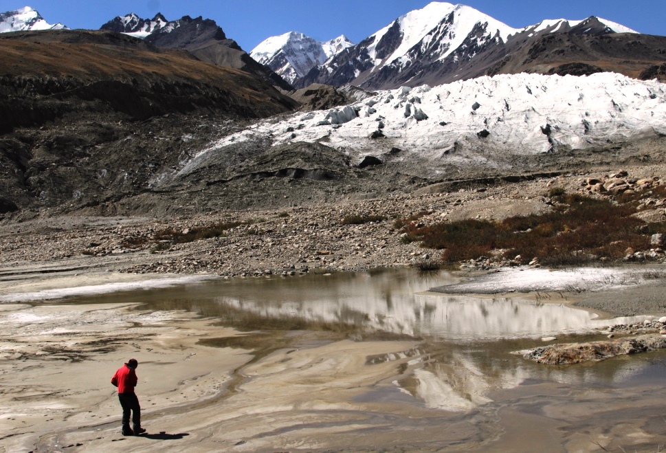
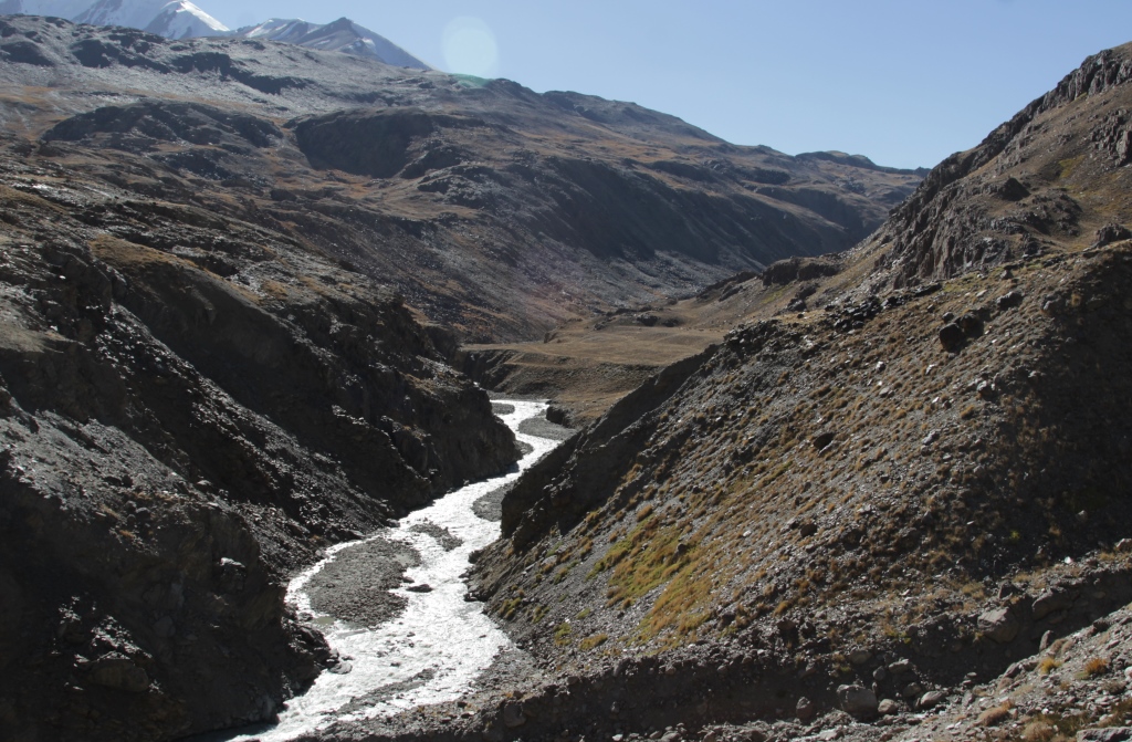
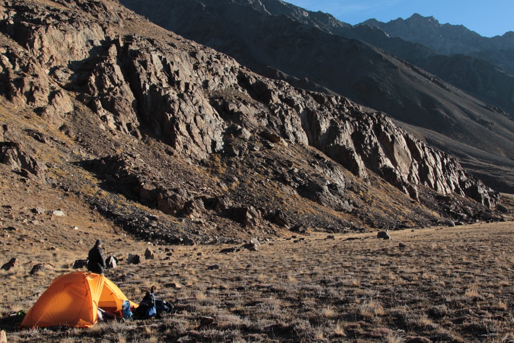
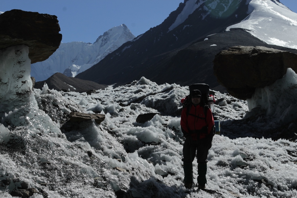
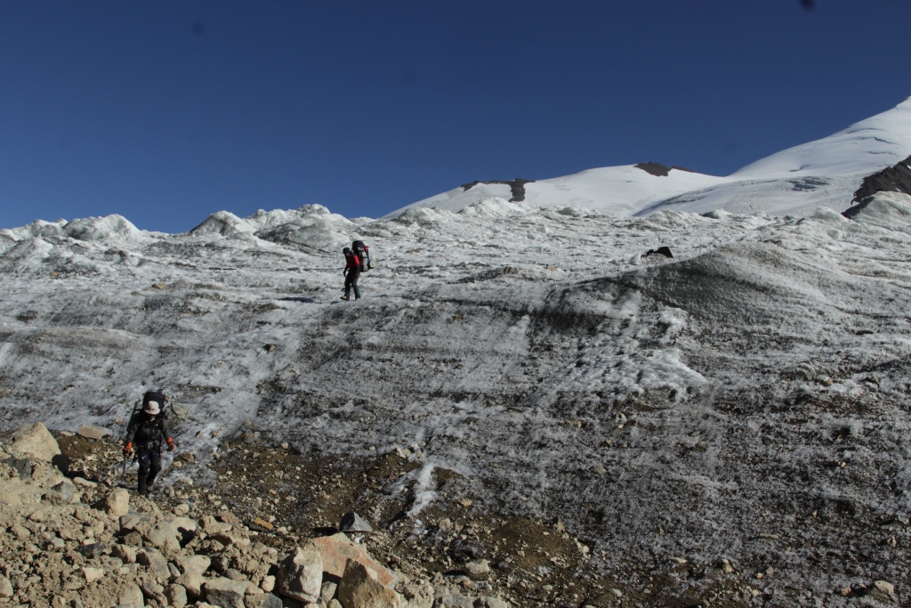
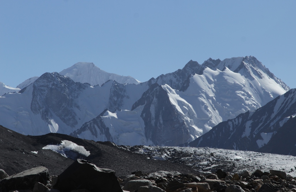
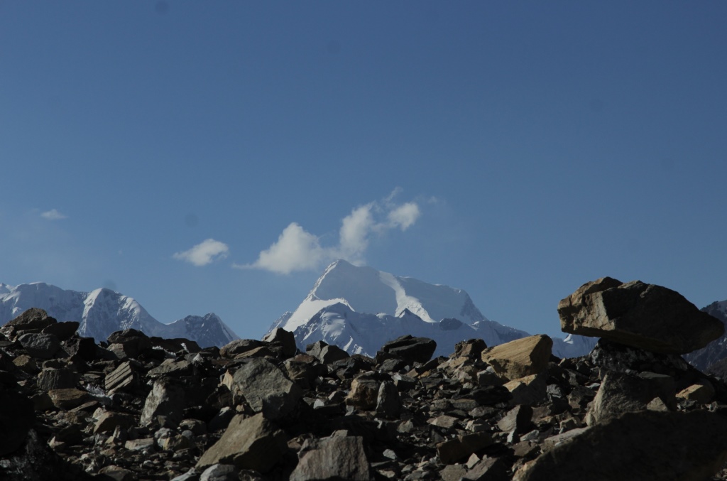
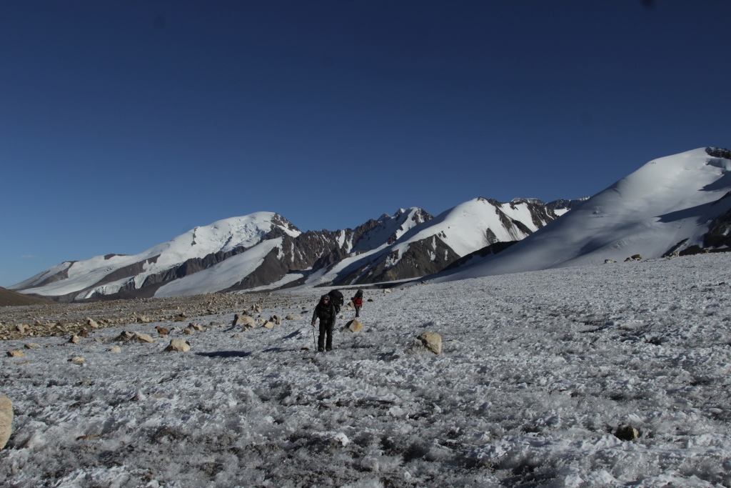
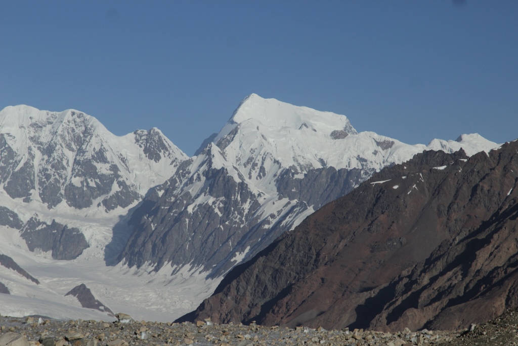
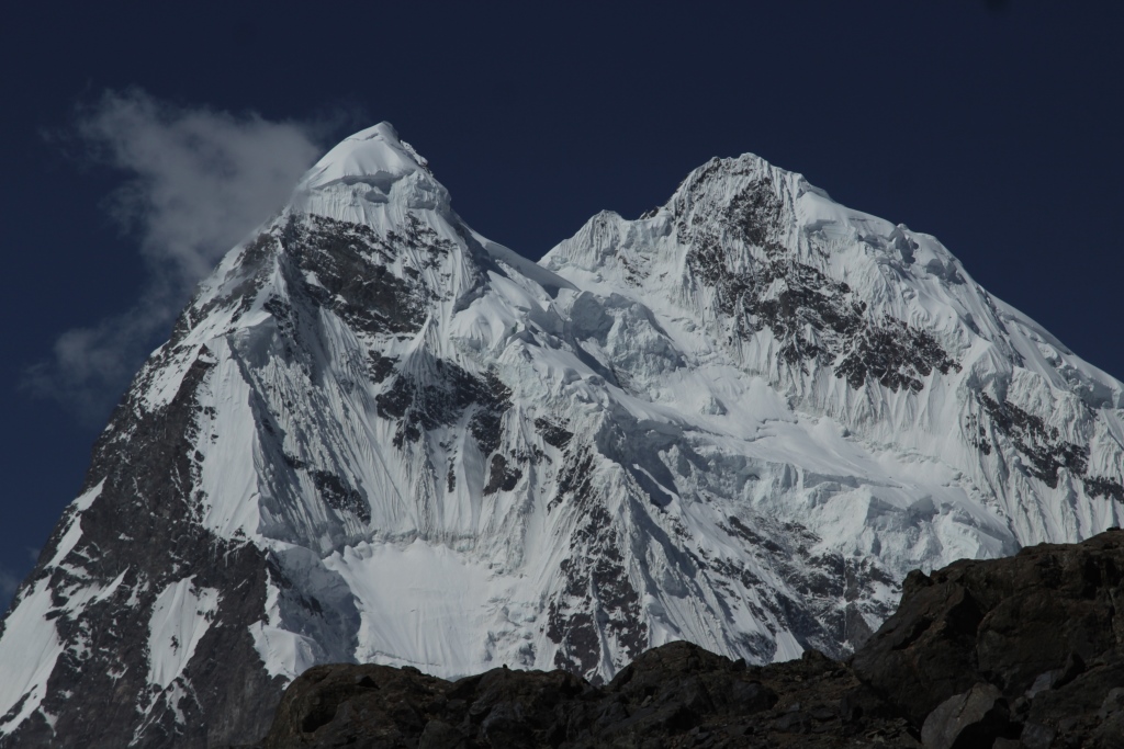
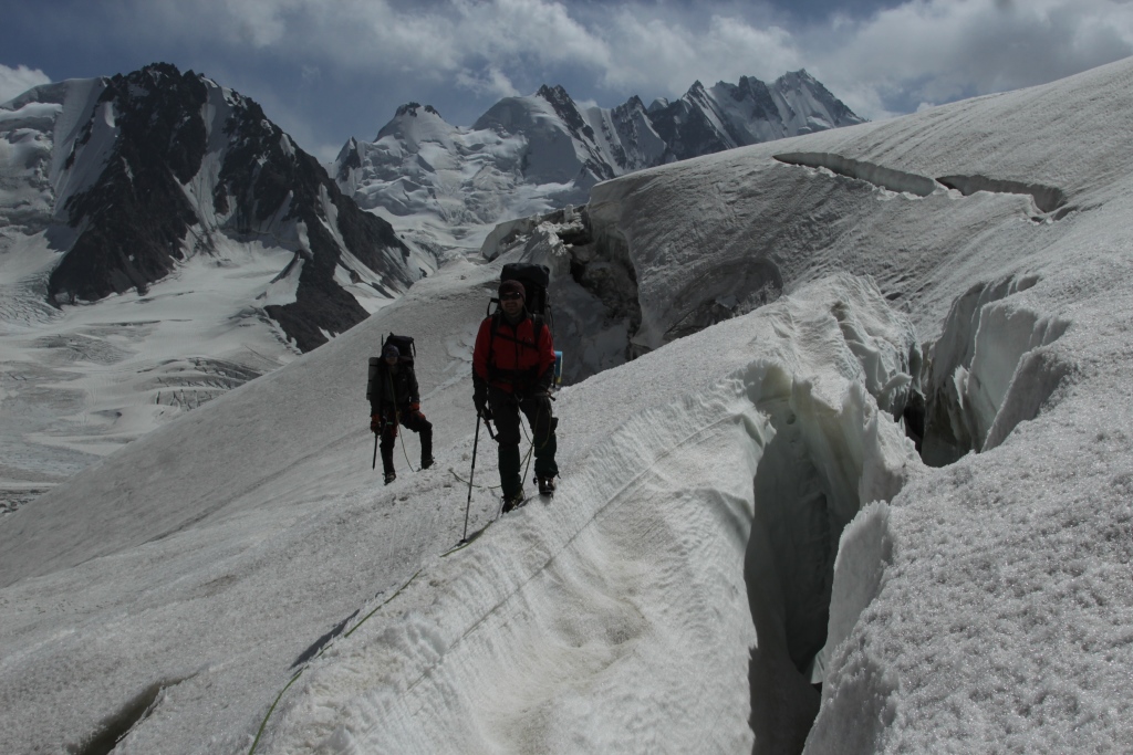
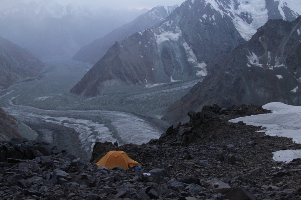
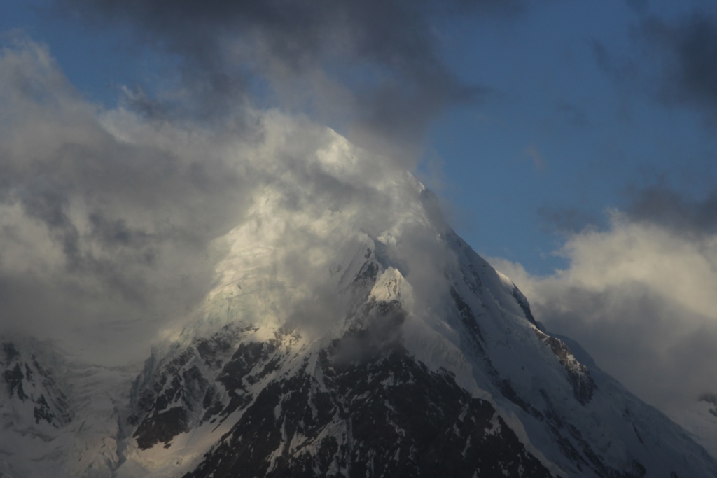
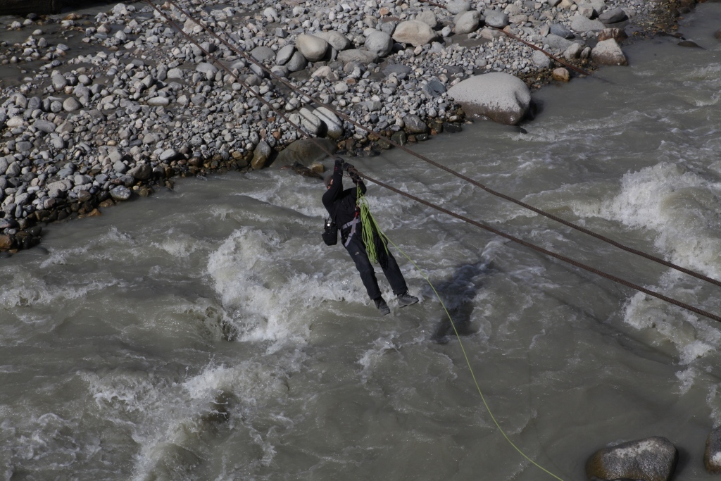
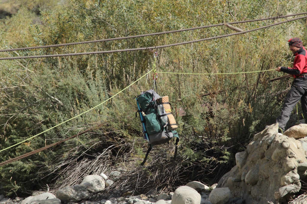
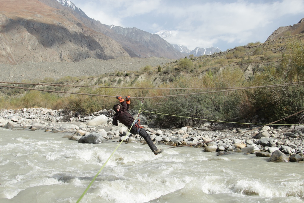
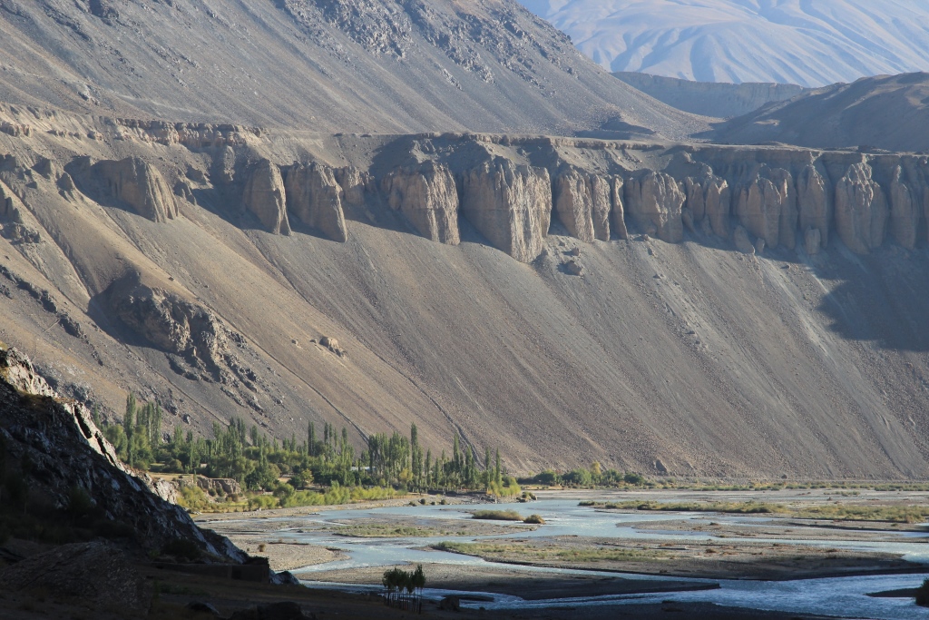
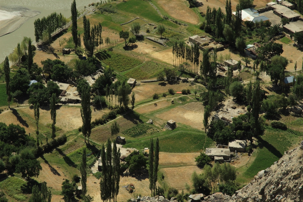
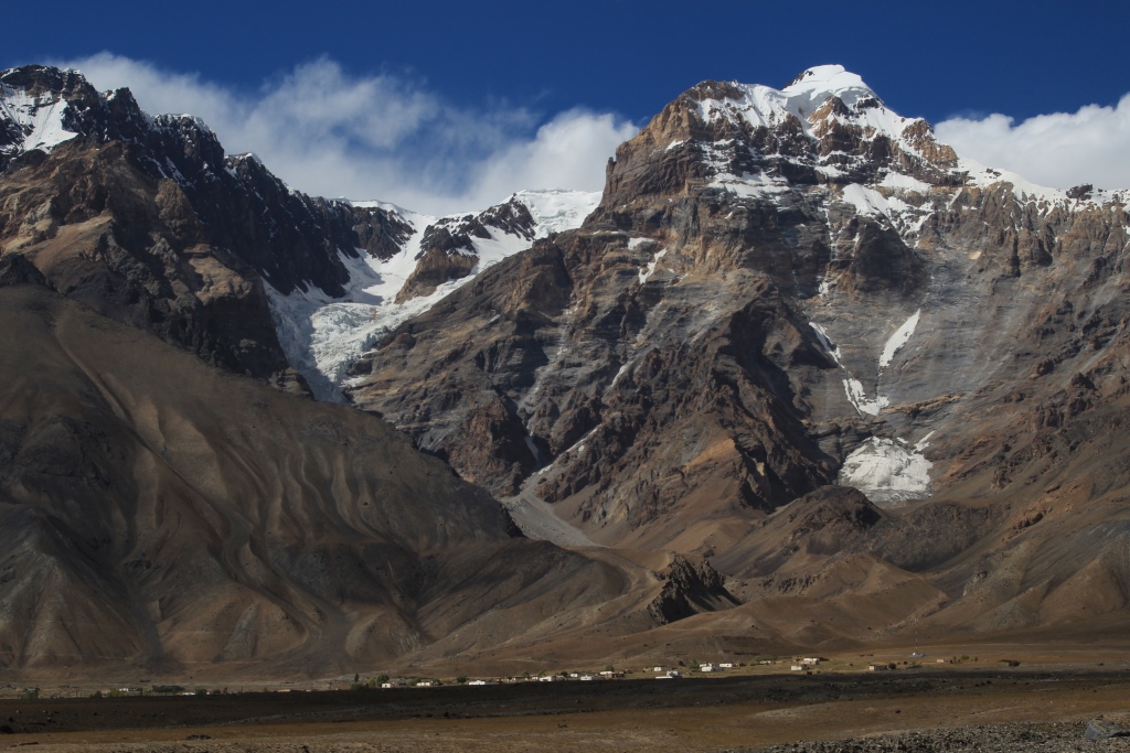
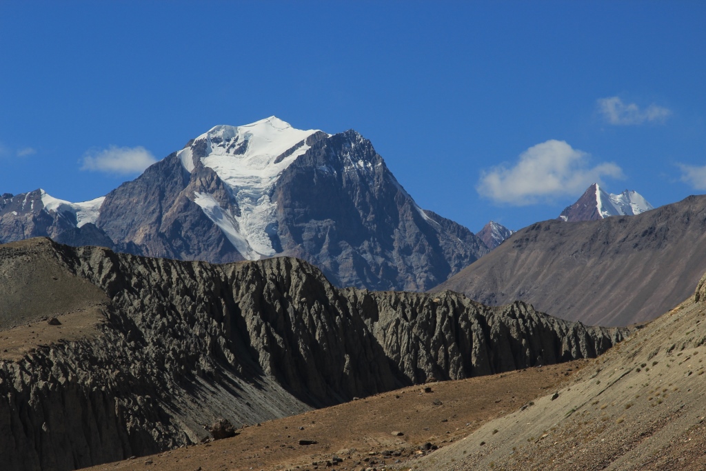
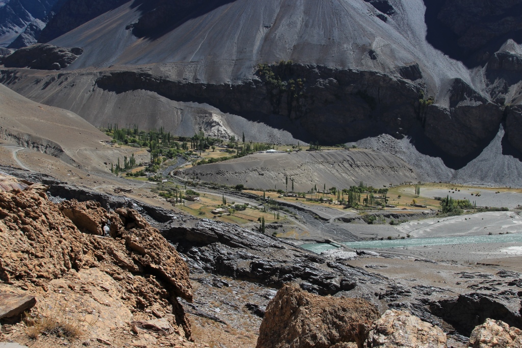
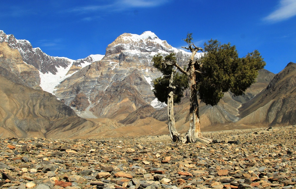
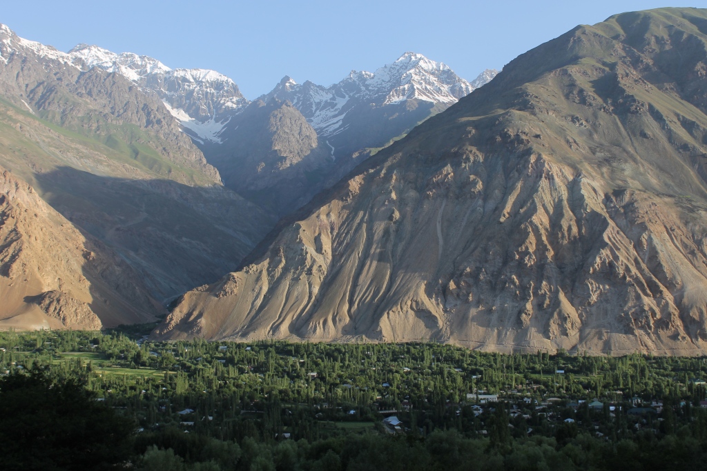
3-9 мая 2017 года команда Клуба провела мероприятие — Горный поход в южных отрогах Гиссарского хребта. Нитка маршрута соединила долины рек Ширкент и Каратаг . Основная задача похода спортивная, это подготовка к летнему альпинистскому сезону. Одним словом потаскать тяжелые рюкзаки, разносить новые ботинки, потренироваться в преодолении различных препятствий (переправы через бурные реки, крутые горные склоны, затяжные подъёмы и спуски). И конечно для души это Ширкентский барьер, уникально красивое место. Хочется сказать больше, но слов не хватает, лучше посмотрите фотографии.
В поход ходили: Шарипов А. Асланова М. Крылов С. Сенжапов Р.
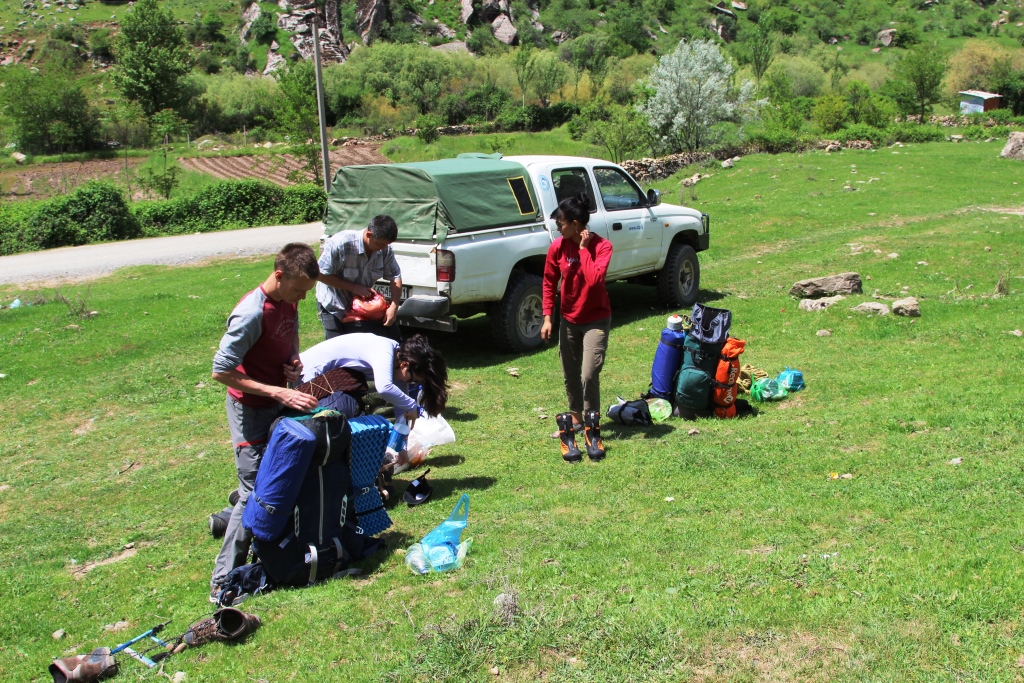
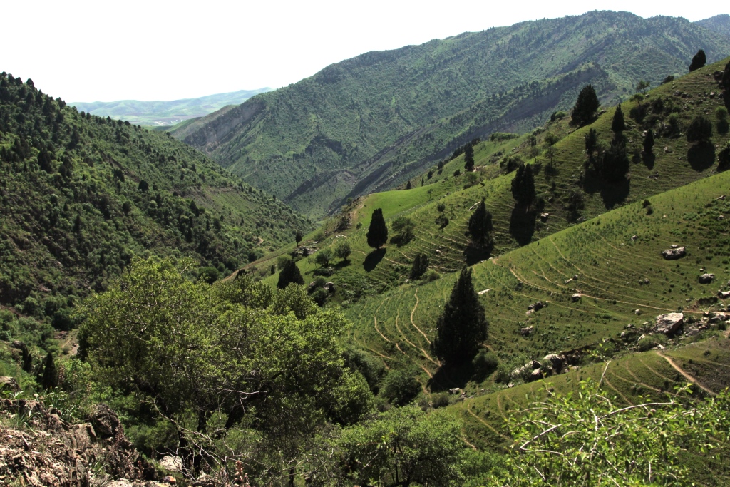
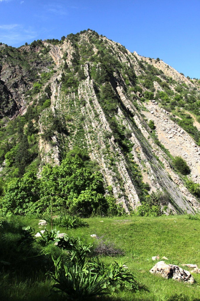
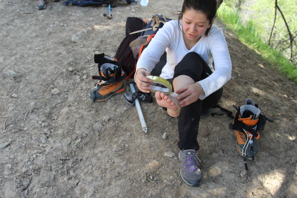
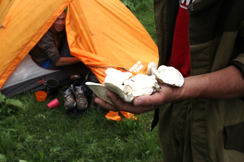
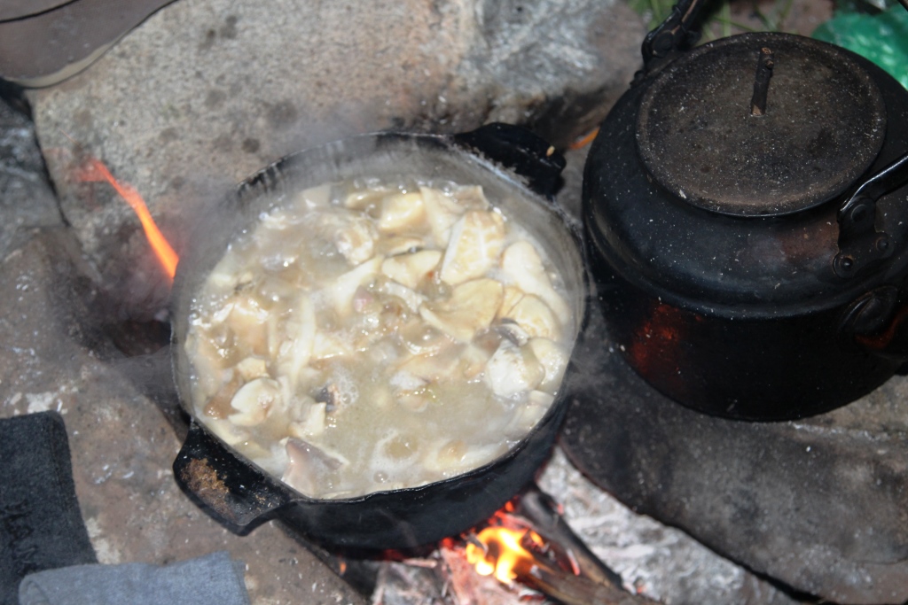
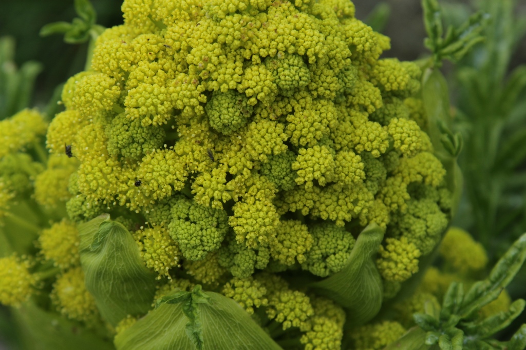
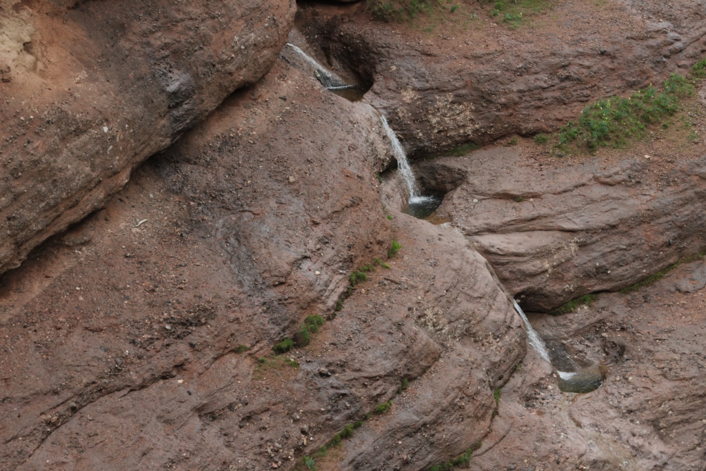
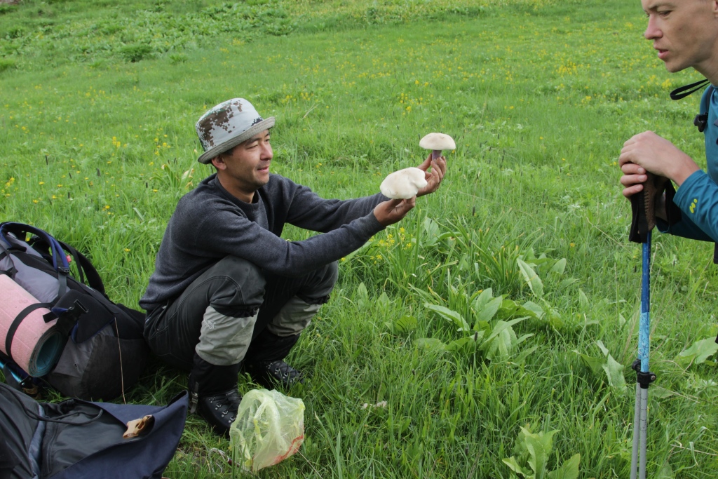
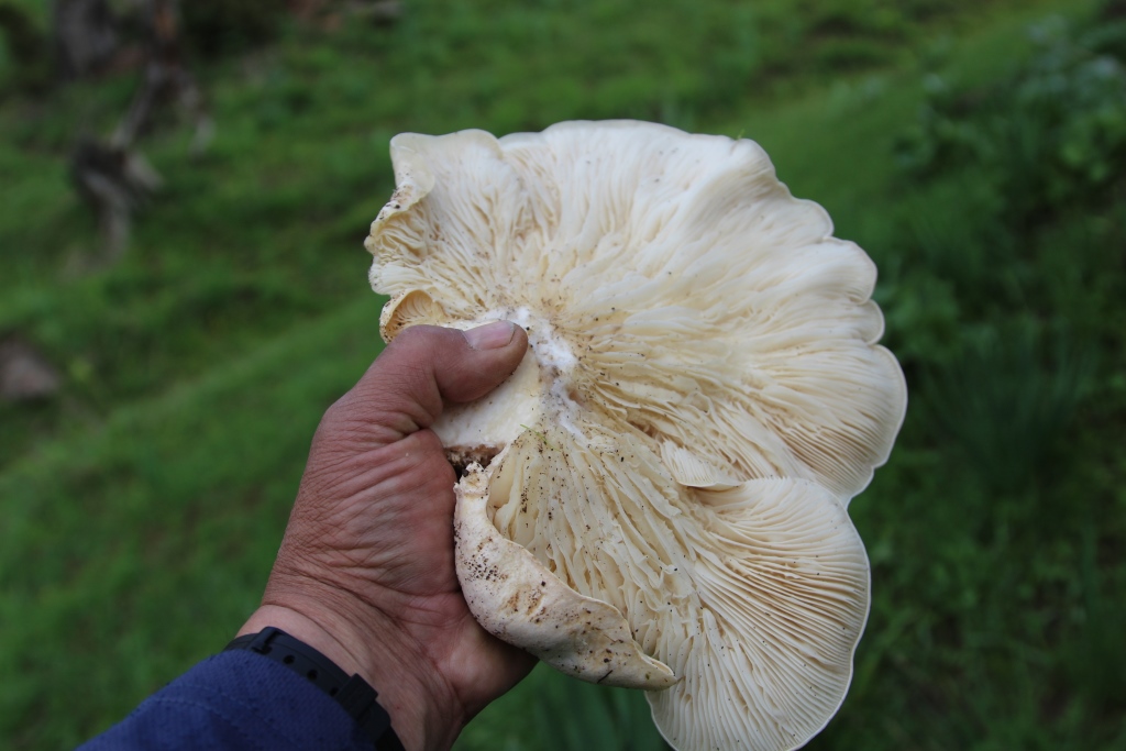
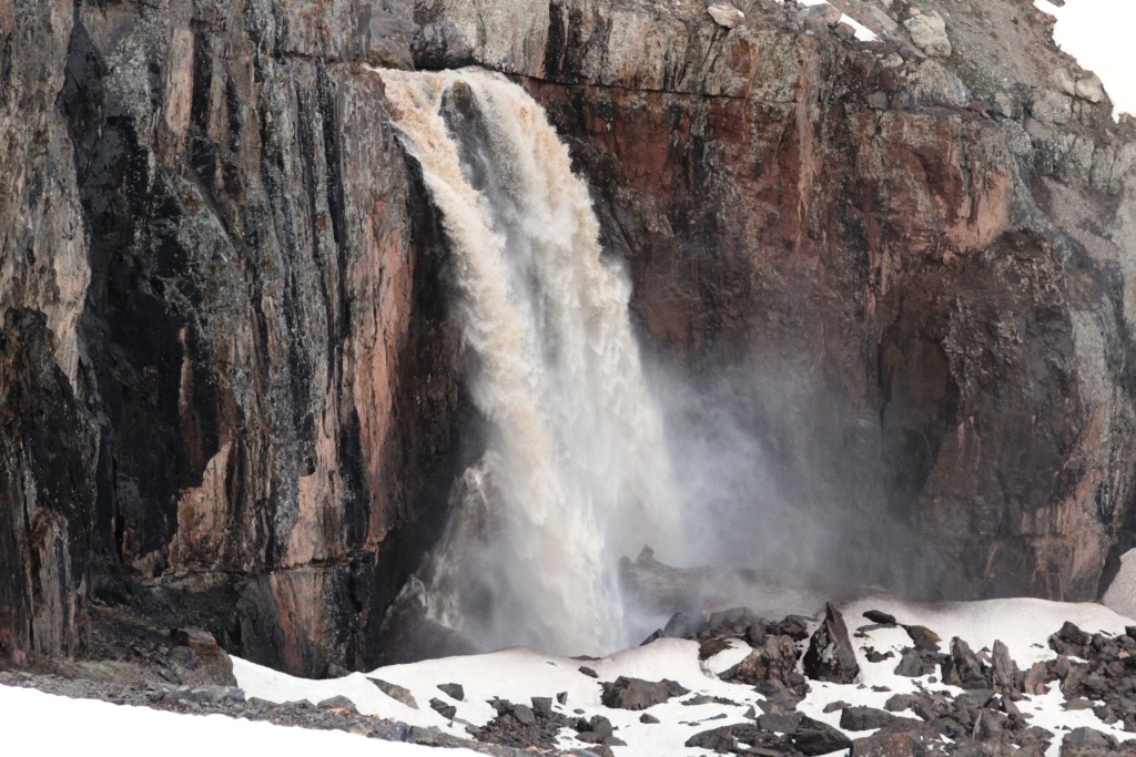
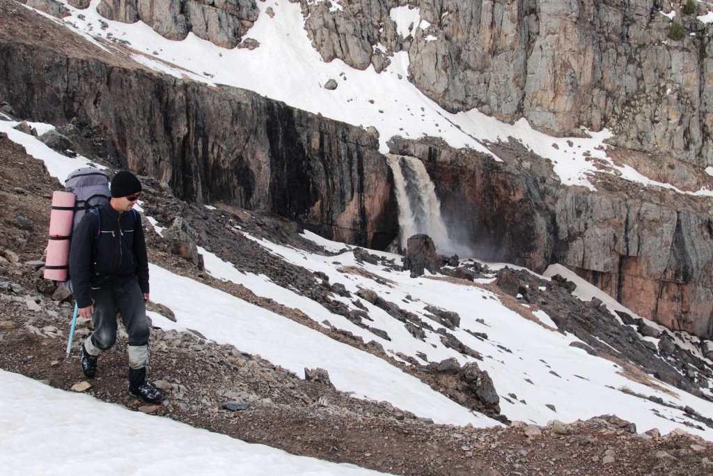
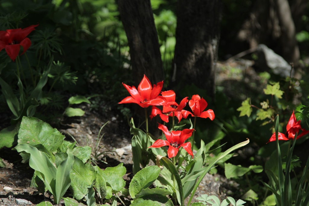
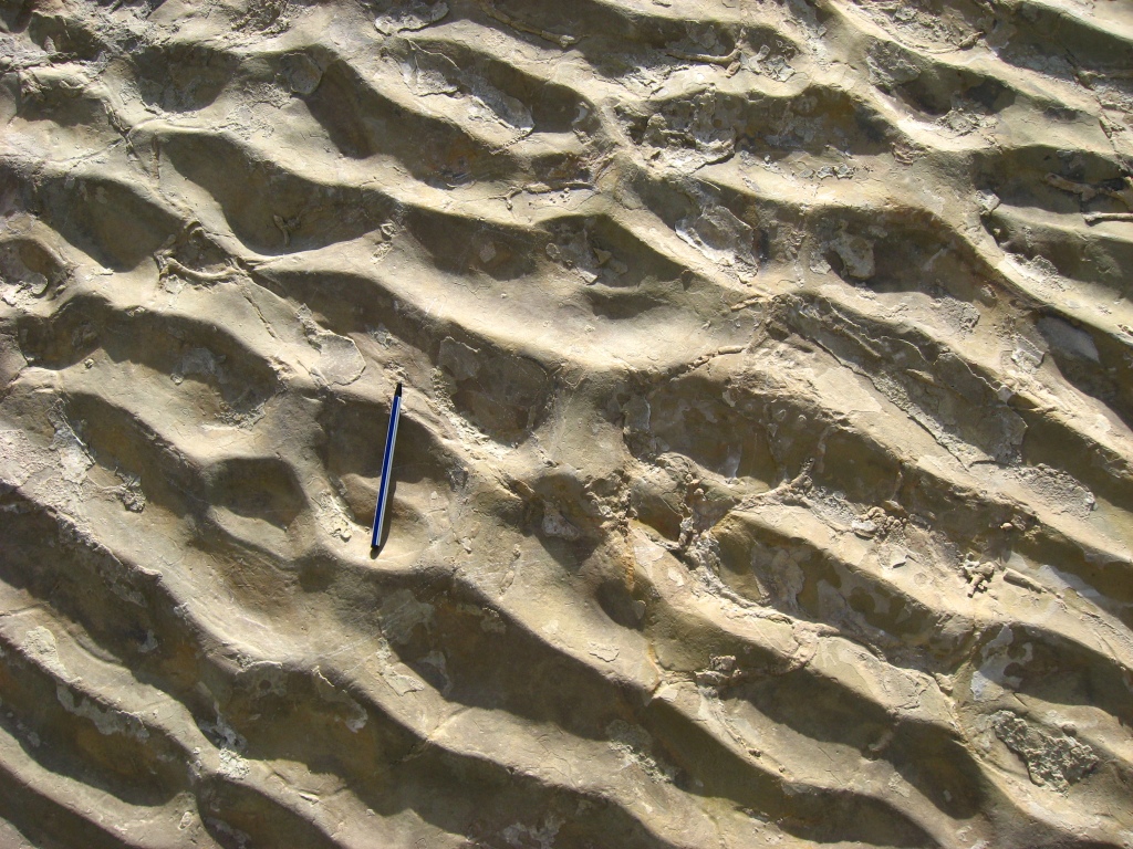
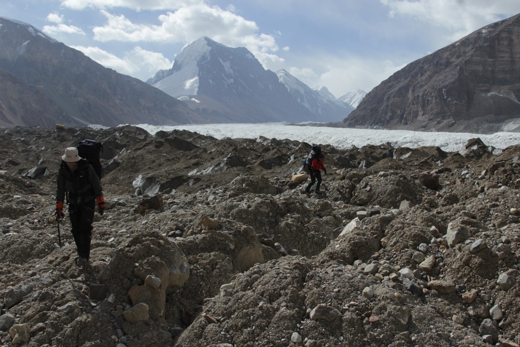
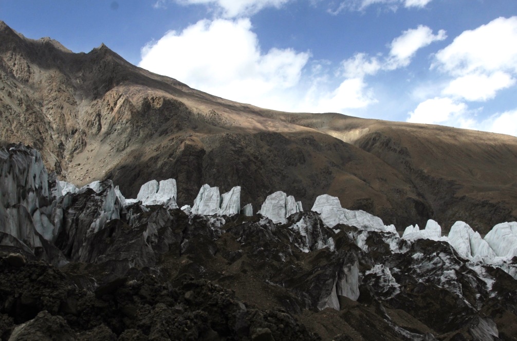
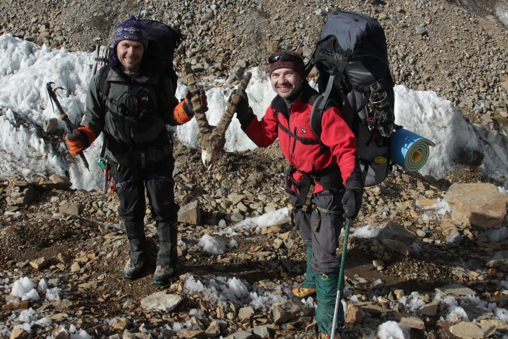
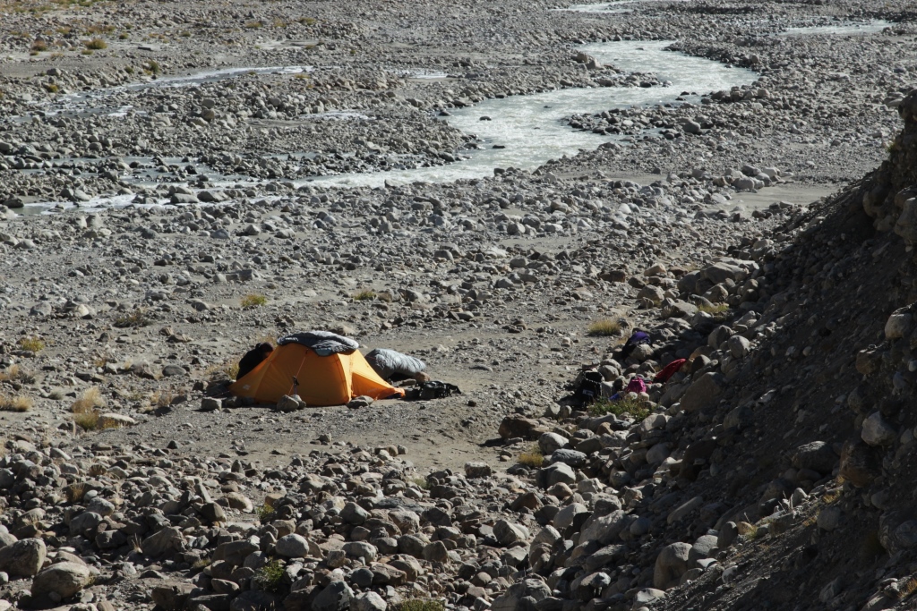
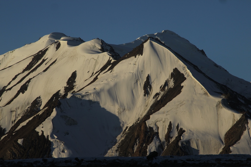
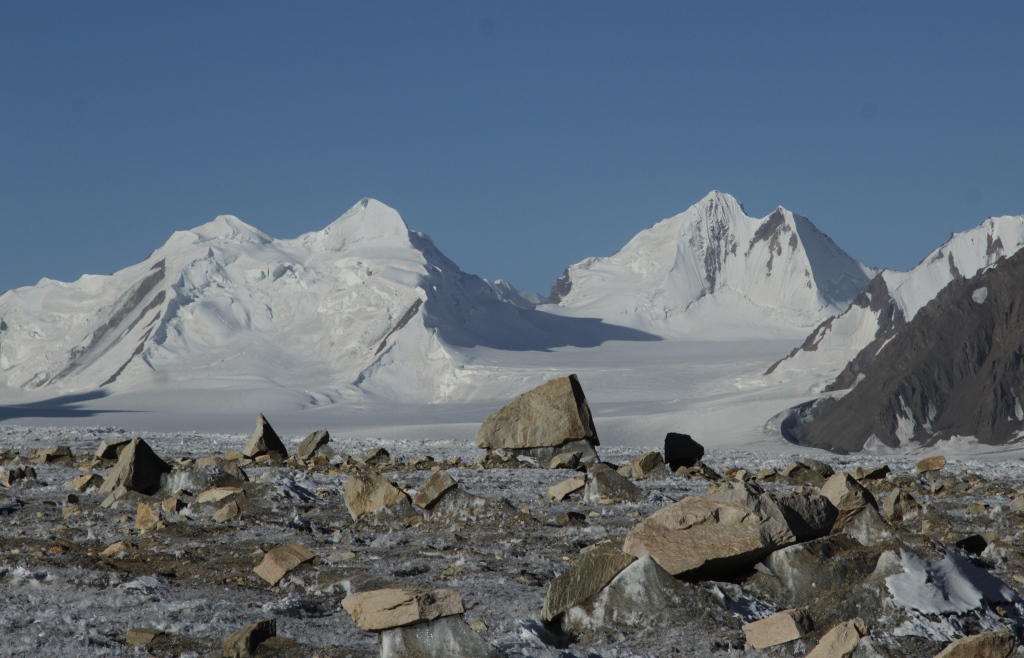
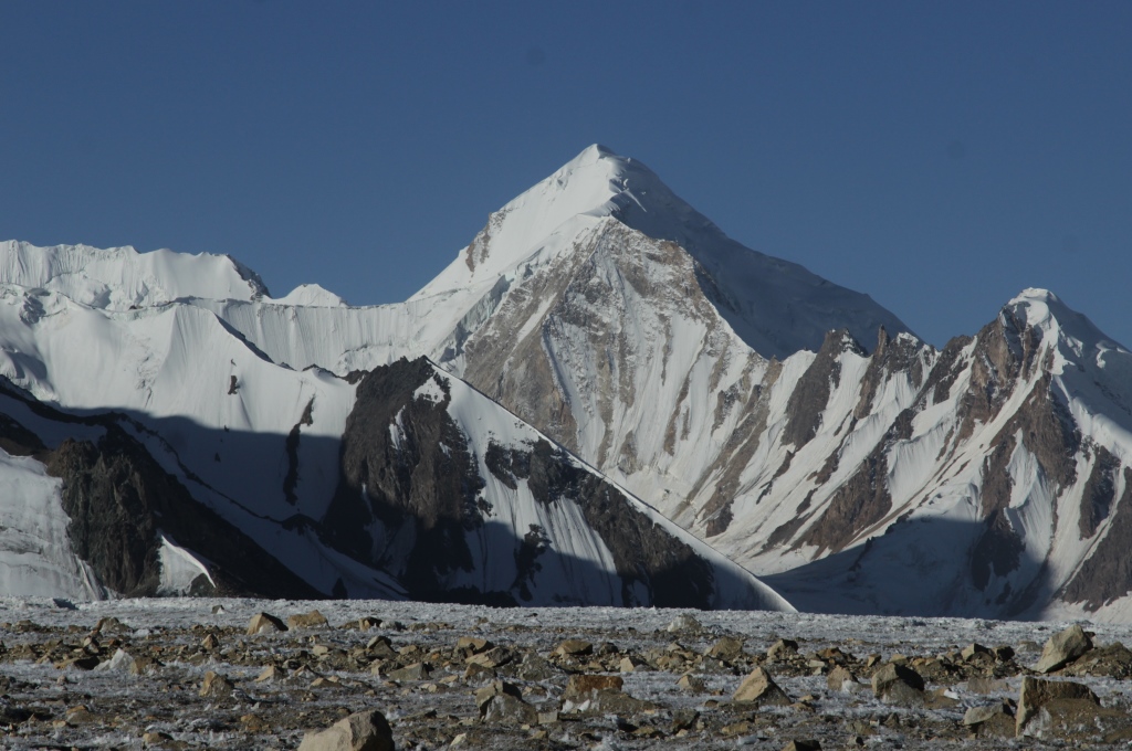
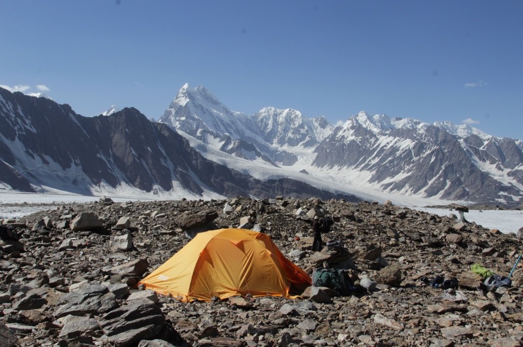
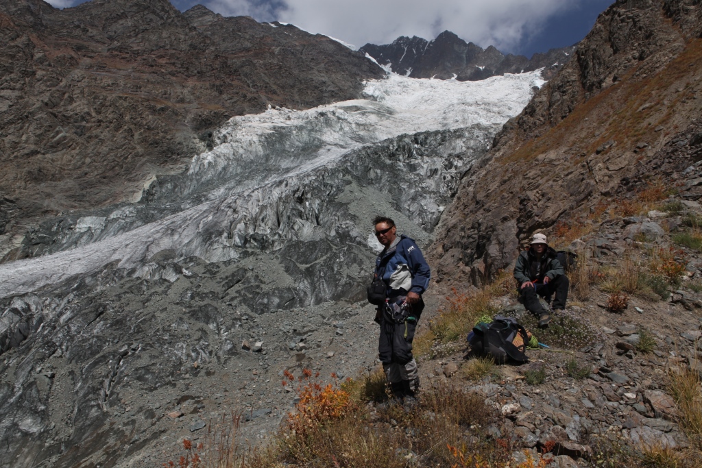
Нитка пешеходной части маршрутаСтарт 3 мая 2017 года.Долина Ширкент. На пути к следам динозавров.…..Местонахождение следов динозавров «Ширкент 2»Первый лагерь. «Ширкент 2»…..Выход на главную тропу.……Махбуба , профилактика мозолей.Семён.Золотой корень. Rhodíola rósea ( Лат.)……Радуга над долиной Акджар.Рамит. Подъём на перевал Пашмикухна 2700м.На перевале Пашмикухна 2700м.Вторая ночёвка чуть ниже перевала Пашмикухна.«Ширкентский барьер»Переправа через речку Обжир.Переправа через реку Обжир.Урочище Загарго, спуск в долину Ширкент.Обед в пути.Пока спина отдыхает….Кишлак Пашмикухна.Мост через речку Хазорхона.Туркестанский белый гриб.Грибы на ужин.Ферула вонючая .Ferula assa-foetida (лат.)Лагерь три. В долине реки Сандалдарья.Элемент пути.В Ширкентском парке.В Ширкентском парке.В Ширкентском парке.В Ширкентском парке.В Ширкентском парке.В Ширкентском парке.В Ширкентском парке.В Ширкентском парке.В Ширкентском парке.В Ширкентском парке.В Ширкентском парке.В Ширкентском парке.В Ширкентском парке.В Ширкентском парке.Рамит, главный грибник.Ширкентский парк.В Ширкентском парке.В Ширкентском парке.В Ширкентском парке.В Ширкентском парке.…..…..Урочище ЧельпурсойК перевалу Хазорхона.Лагерь 4. В урочище Чельпурсой.Медвежата.Гора Загарго.Непогода.К перевалу Хазорхона, выход в урочище ЯхобУрочище Яхоб.К Хазорхоне.На перевале Хазорхона 3100м.Долина Катта Каджоу.Водопад на реке Катта Каджоу.Водопад на реке Катта Каджоу.Плато Пармин.Плато Пармин.Плато Пармин.В долине Каратага.В долине Каратага.
3-9 may 2017, the Club team held an event -a Mountain hike in the southern spurs of the Gissar range. The route connected the valleys of the rivers Shirkent, and Karatag . The main objective of sports is preparing for the summer climbing season. Carry heavy backpacks to get used to the new shoes to workout in overcoming various obstacles (crossing rivers, steep mountain slopes, long ascents and descents). And of course for the soul is Serkent barrier, a uniquely beautiful place. I want to say more but words are not enough, you can see photos
In the tracking went: Anatoli Sharipov. Mahbuba Aslanova. Simon Krilov. Ramit Senjapov.
……
Walking part of the wayThe hike begins on may 3Sherkent ValleySherkent ValleySherkent Valley. Cliff dinosaur footprints.Sherkent Valley. First camp.Sherkent ValleySherkent ValleySherkent ValleyMhbuba.SherkentValleySimon Sherkent Valley.Rhodíola rósea LSherkent Valley.Sherkent Valley.To the pass Pasichmikuhnapass PasichmikuhnaCamp 2.Pass Pasichmikuhna«Sherkent barrier»Crossing the river ObijirCrossing the river ObijirThe Tract Zagargo The descent into the valley Sherkent..Lunch on the way Sherkent.Rest on the way.Sherkent ValleyVillage PashmikuhnaThe bridge over the river HazorhonaTajik MushroomsTajik MushroomsFerula assa-foetida LCamp 3 on the shore of the river SandaldaryaIn the gorge SandaldaryaHistorical nature park “Sherkent”Historical nature park “Sherkent”Historical nature park “Sherkent”Historical nature park “Sherkent”Historical nature park “Sherkent”Historical nature park “Sherkent”Historical nature park “Sherkent”Historical nature park “Sherkent”Historical nature park “Sherkent”Historical nature park “Sherkent”Historical nature park “Sherkent”Historical nature park “Sherkent”Historical nature park “Sherkent”Historical nature park “Sherkent”Tajik MushroomsHistorical nature park “Sherkent”Historical nature park “Sherkent”Historical nature park “Sherkent”Historical nature park “Sherkent”Historical nature park “Sherkent”Tajik MushroomsTajik MushroomsThe tract ChelpursoyThe tract ChelpursoyCamp 3 The tract ChelpursoyBearsThe tract ChelpursoyThe tract ChelpursoyThe tract ChelpursoyThe tract JahobTo pass HazorhonaPass HazorhonaValley Katta-KadjouWaterfall on the river Katta-KadjouWaterfall on the river Katta-KadjouPlateau Parmin.Plateau ParminPlateau ParminIn the gorge KaratagIn the gorge Karatag
The park is characterized by unique historical geological monuments, the number of which overises over 40 units. Among them there are: geomorphological, lithological, paleontological, tectonic, hydrological, glaciological and historical.
The most considerable in this Park are 3 of different ages dinosaur’s trades locations with the total imprint amount more than 400. Historical monuments include over 50 archeological objects and a few ethnic monuments. Stone age monuments unit ten stay places of primeval people from middle paleolith to neolith.
Animal world of Sherkent park is represented by a great variety of species. More than 30 mammal species including snow leopard, Tian Shan brown bear, stoat, weugel, Siberian goat and others inhabit this area. Ornithological fauna structure of Sherkent Park comprises over 40 species of settled and more than 55 migrates birds. The river is rich with trout
In the description reference is made to specific models, you can choose things to your taste, it is important to have the same characteristics as the samples.
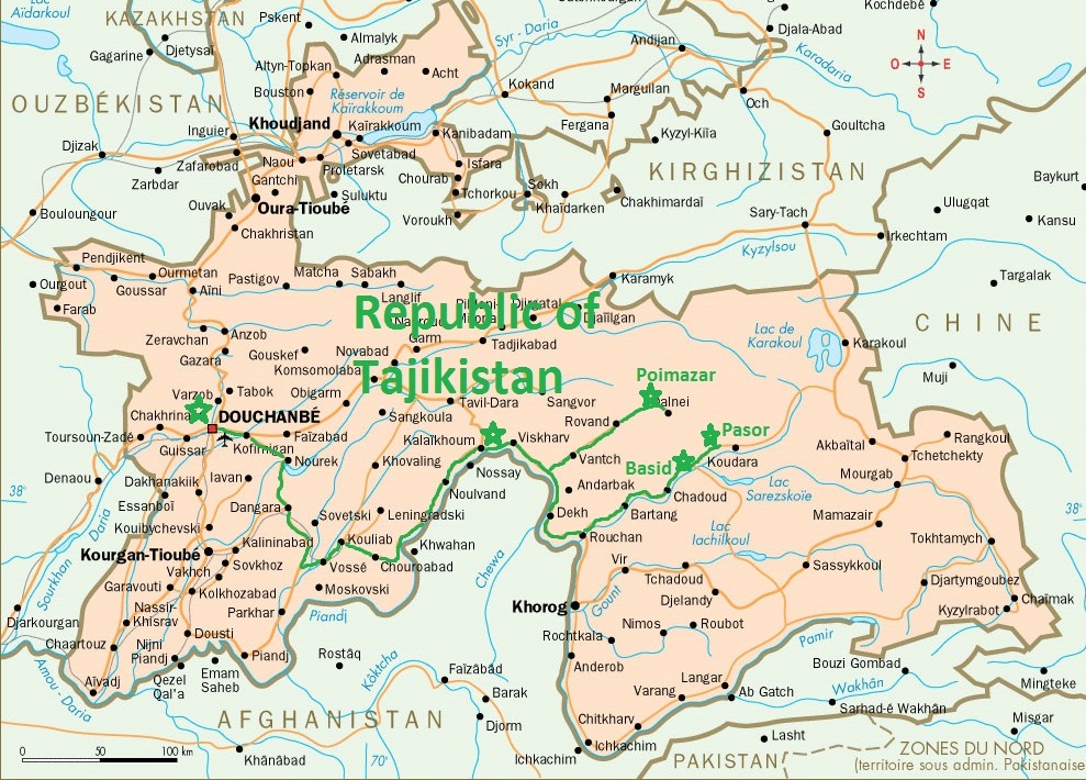
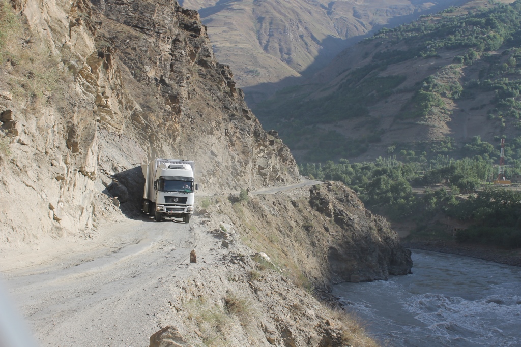
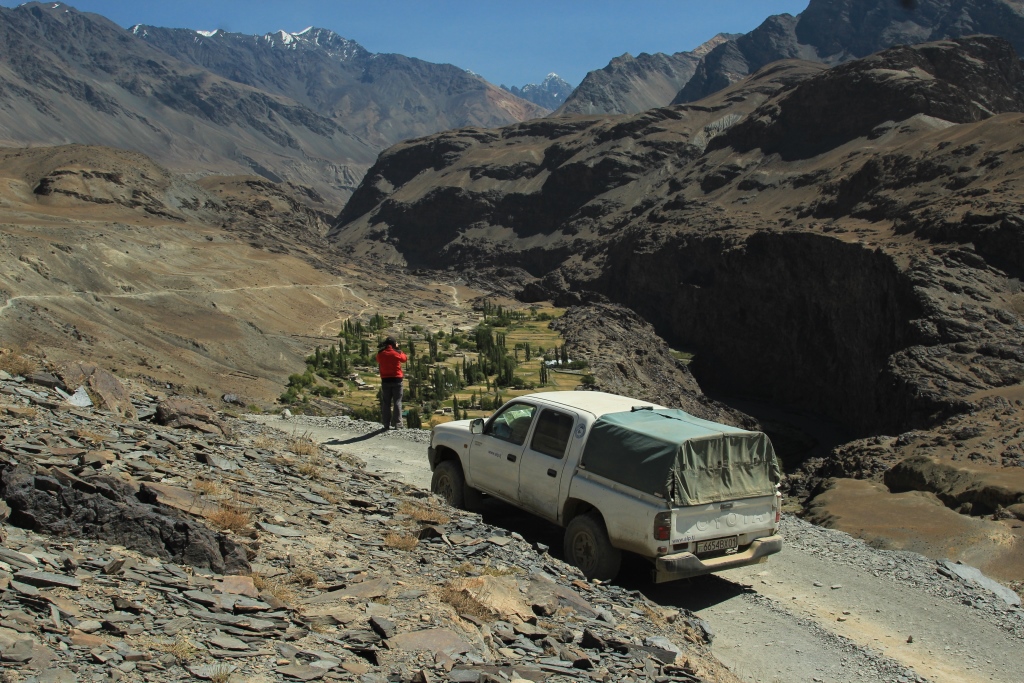
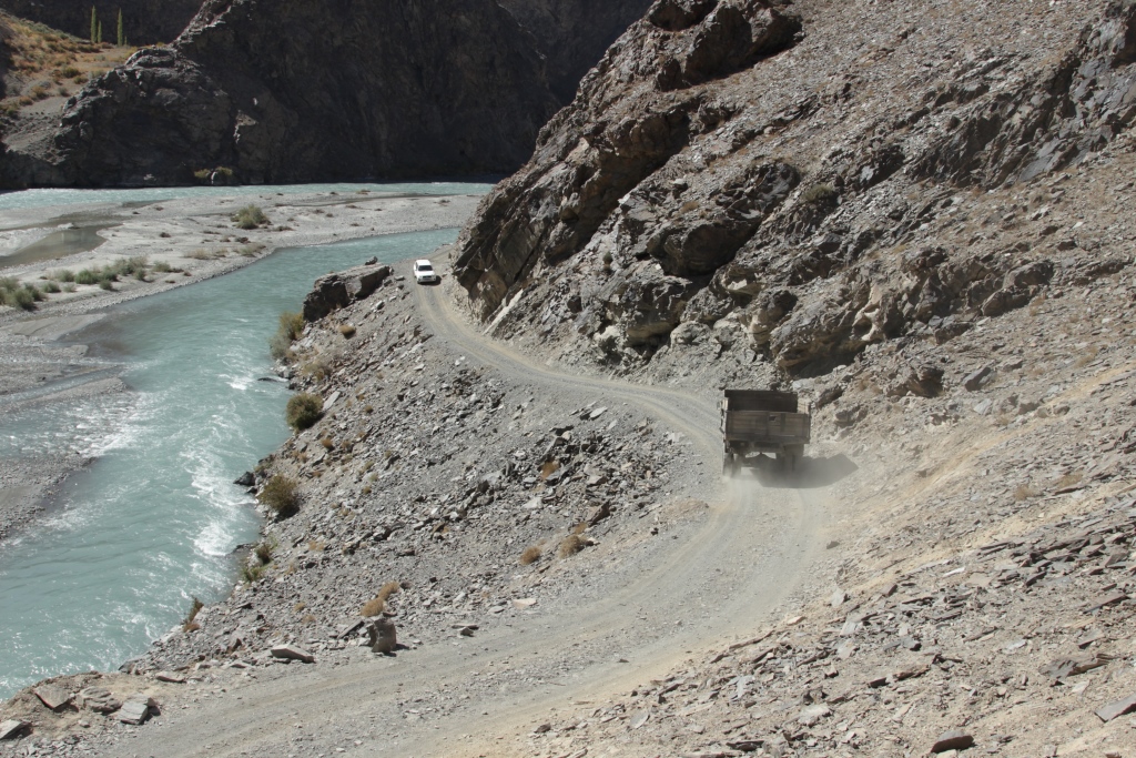
A car trip(road А384,R44,M41) runs through Kulob Kalai-Khumb, Rushan, and then to the top of the Bartang river to the village of Pachora. The way back to Dushanbe through the valley of river Vanj. The road is very challenging and interesting. Includes visits to historical and natural monuments located along the way. Possible option only on the road, M41. The Toyota «Land Cruiser», «Hilux».
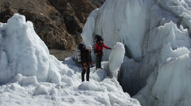
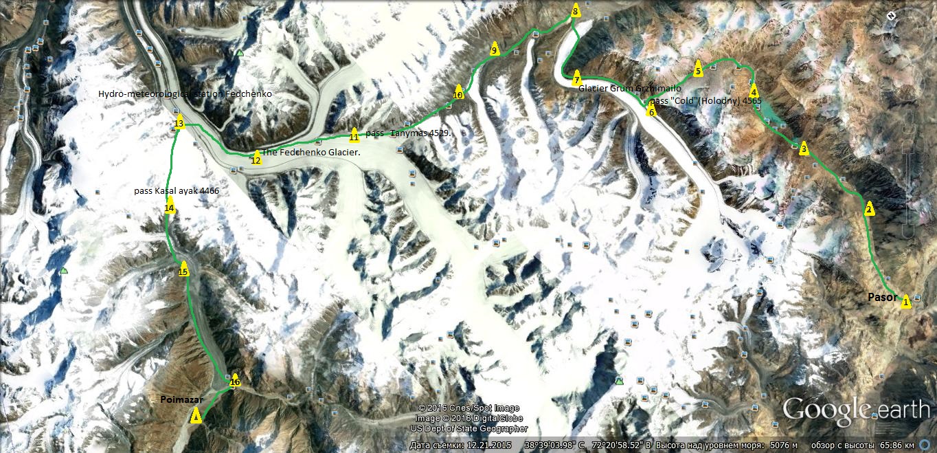
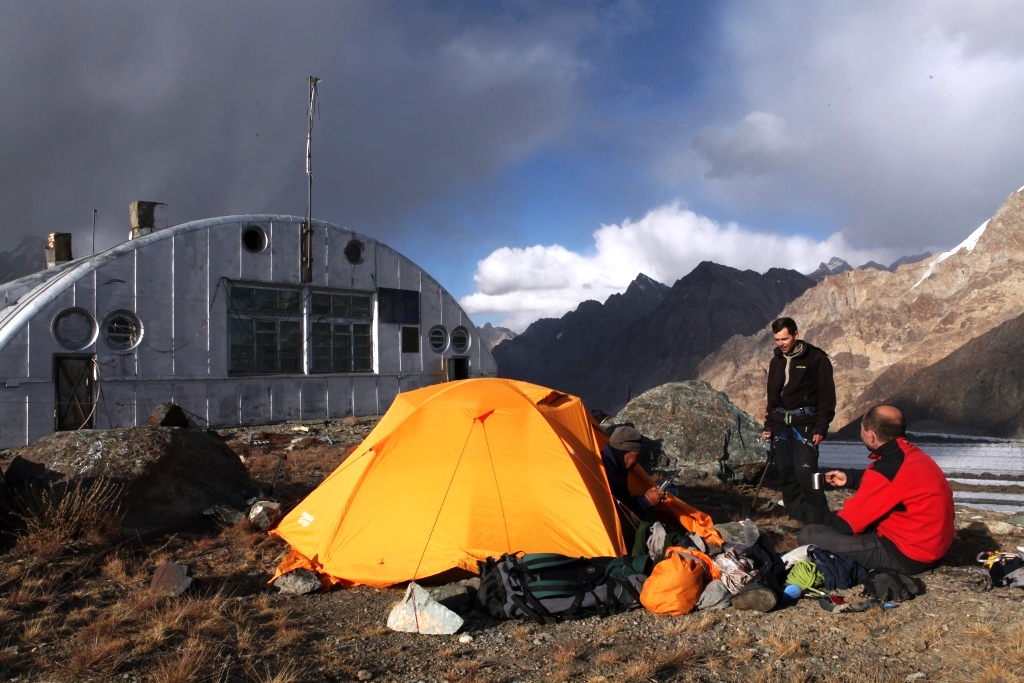
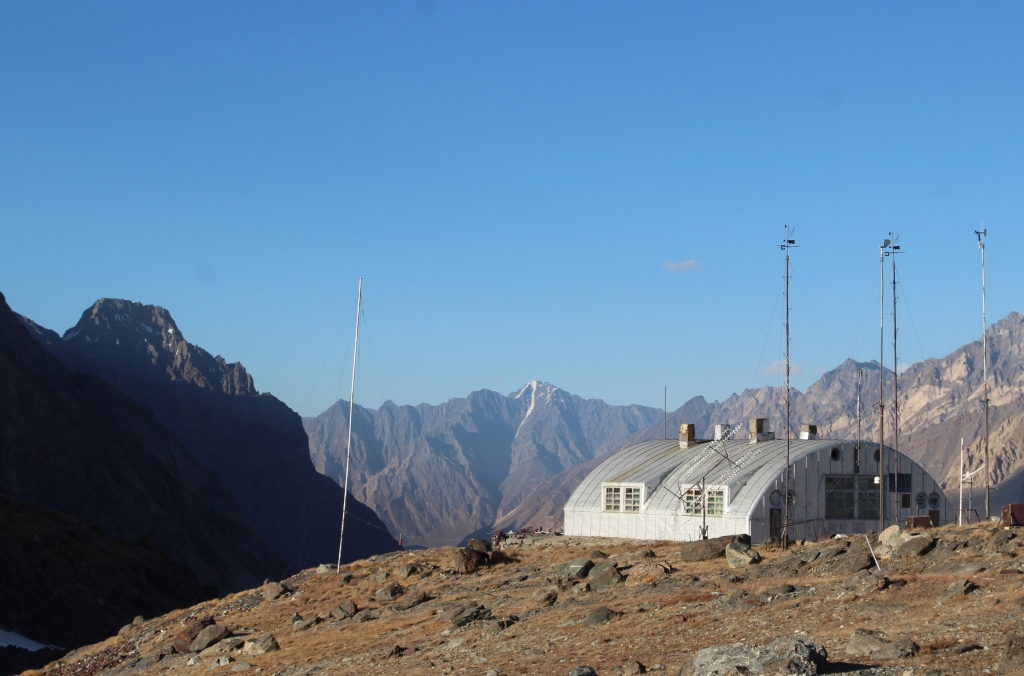
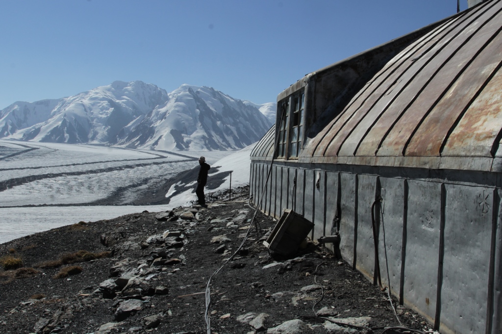
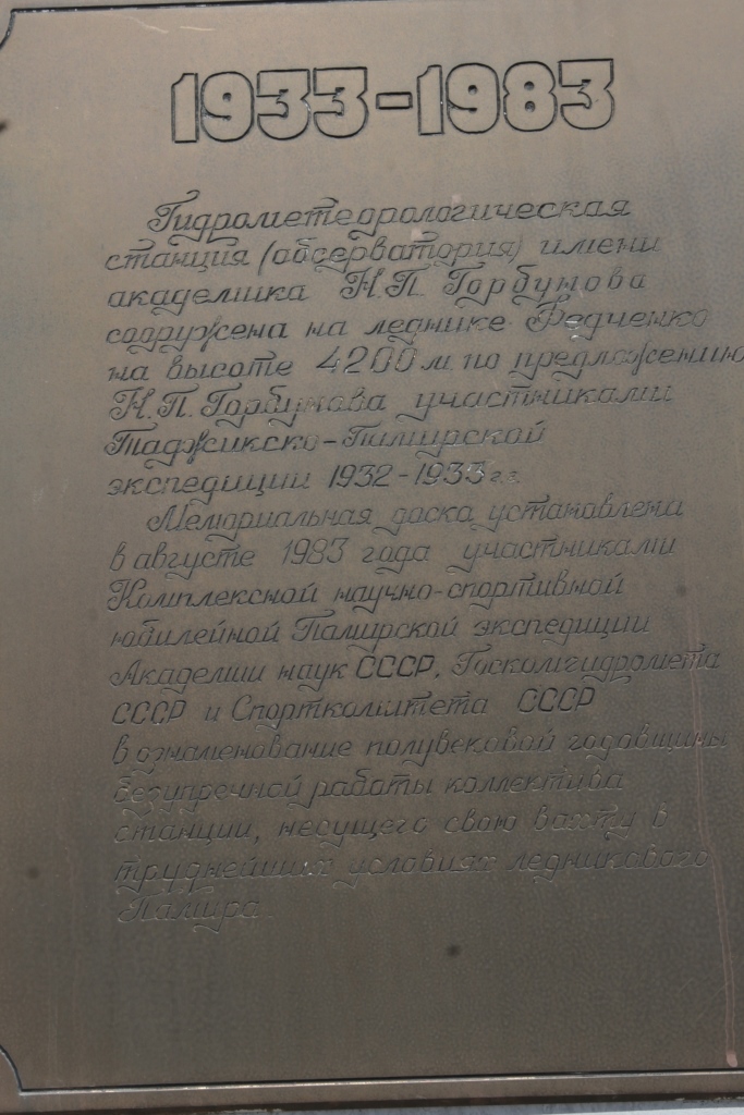
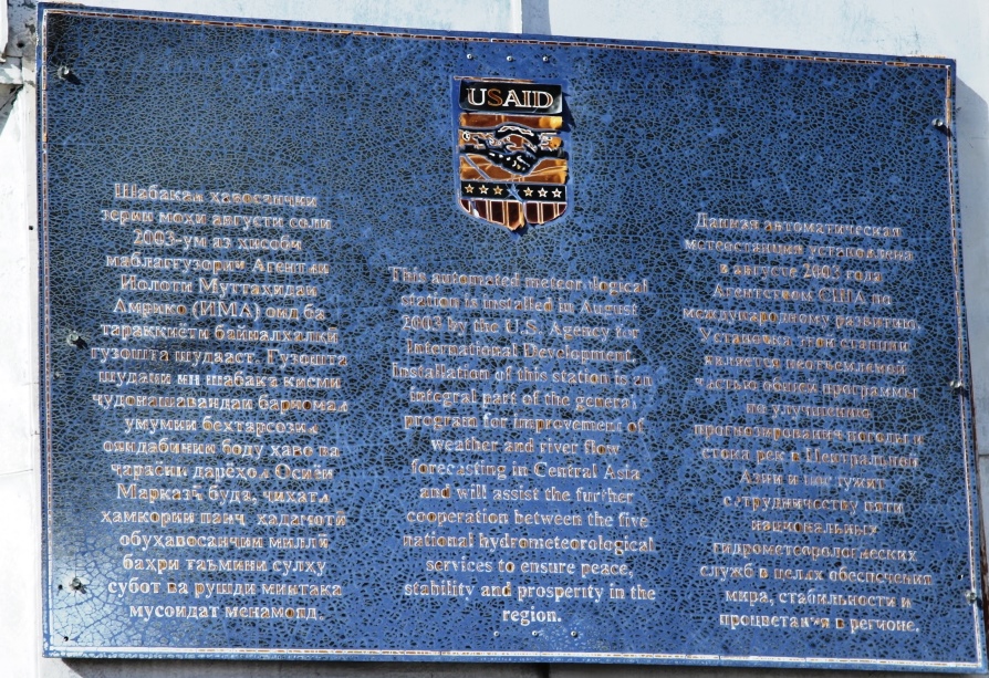
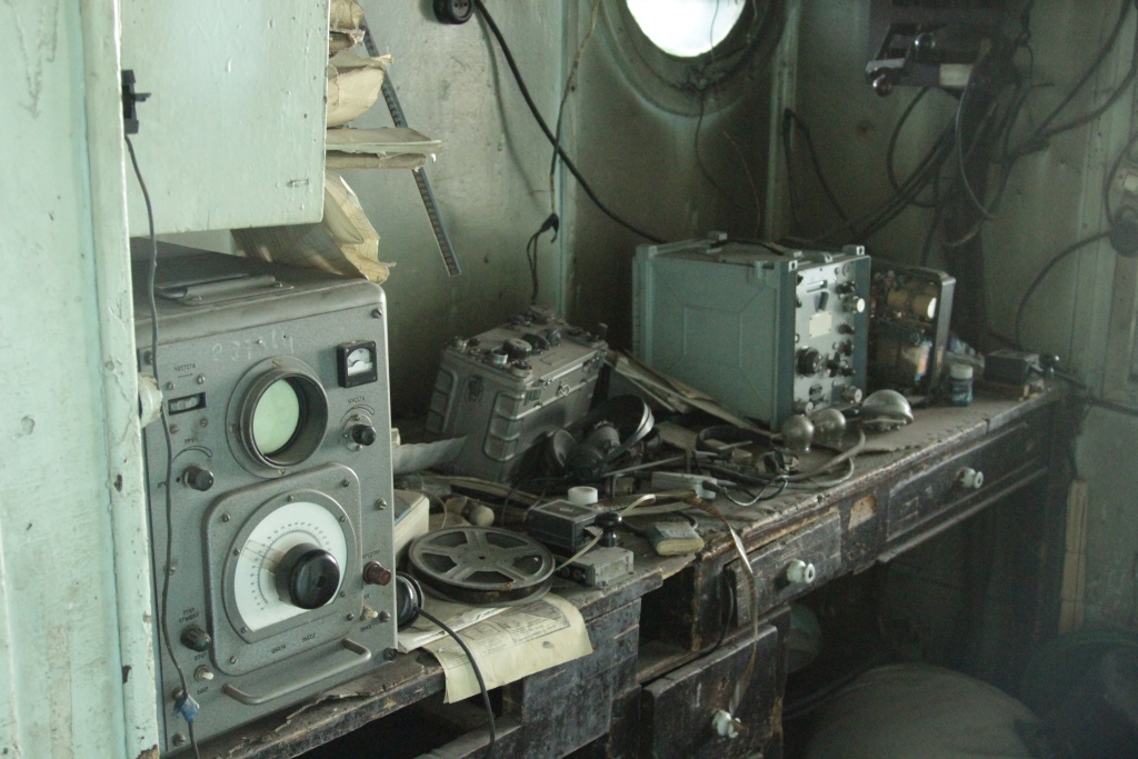
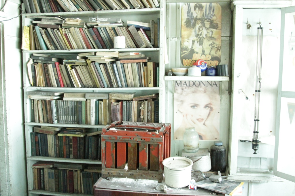
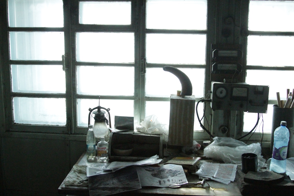
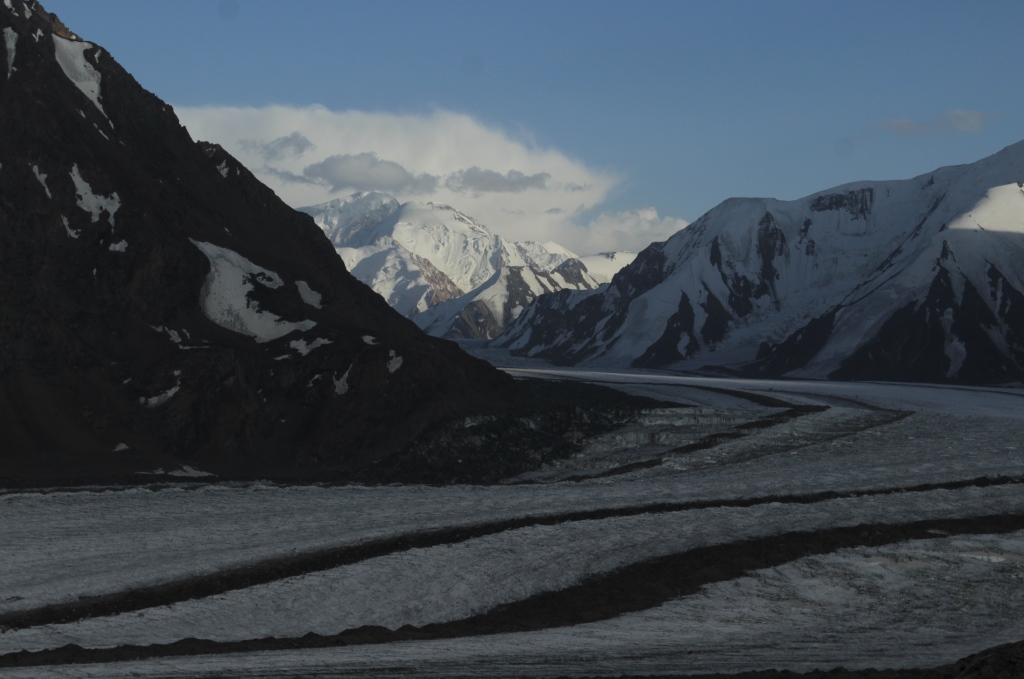
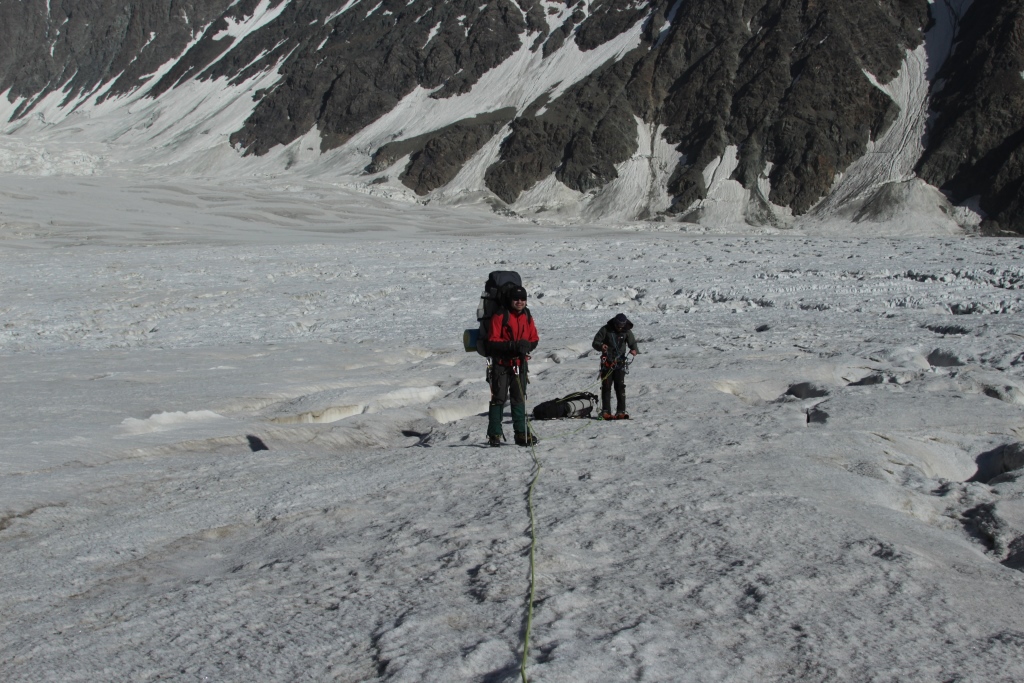
The pedestrian part of the route starts in Bartang, it is the most remote valley of the Pamirs. Held by the largest glacier, Fedchenko and Musculak (Grum-Grzhimailo), in the way you will see the peaks Somoni (Communism) and Garmo, then visit the weather station «Fedchenko» . The route ends in the valley of river Vanj.
Date.
Days.on the route.
Description.
Overnight,
No. camps (C №) altitude camps.
3.09.17.
1.
Dushanbe-Kalai-Khumb.
Overnight in Kalai-Khumb. 1260m.
4.09.17.
2.
Kalai-Khumb -Basit.
Overnight in Basit. 2349m.
5.09.17.
3.
Basit— Pasor
camp-C 1(hereinafter, all the nights in a tent camp).3030m.
Reserve day. Reserve days needed for the preparation of the group prior to technically difficult sections of the route, rest and in case of bad weather.
C 8. 3686m.
14.09.17.
12.
Glacier Tanymas 2. Crossing the river Tanymas.
C 9. 3894m.
15.09.17.
13.
Glacier Tanymas 3.
C 10. 4321m.
16.09.17.
14.
Pass Tanymas 4529.
C 11. 4529m.
17.09.17.
15.
Pass Tanymas . The Fedchenko Glacier.
C 12. 4299m.
18.09.17.
16.
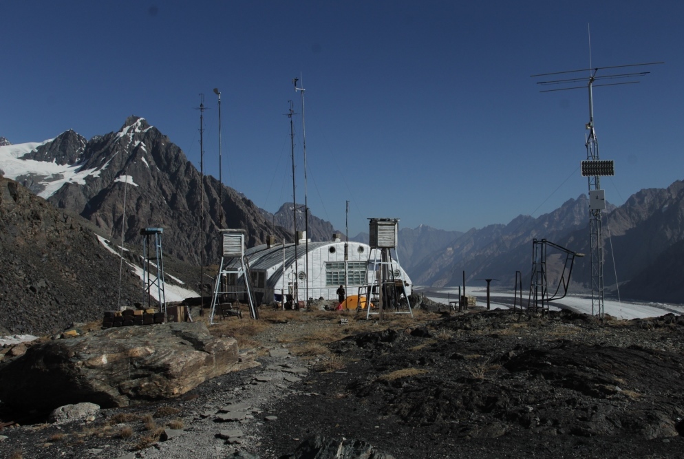
The Fedchenko Glacier. Hydro-meteorological station Fedchenko
C 13. 4217m.
19.09.17.
17.
Reserve day. Reserve days needed for the preparation of the group prior to technically difficult sections of the route, rest and in case of bad weather.
C 13. 4217m.
20.09.17.
18.
Hydro-meteorological station Fedchenko pass Kasal ayak 4466.
C 14. 4080m.
21.09.17.
19.
pass Kashal ayak . The Glacier Of The Russian Geographic Society (RGO).
C 15. 3406m.
22.09.17.
20.
The Glacier Of The Russian Geographic Society (RGO). River Abdukagor.
C 16. 2628m.
23.09.17.
21.
Reserve day. Reserve days needed for the preparation of the group prior to technically difficult sections of the route, rest and in case of bad weather.
C 17
24.09.17.
22.
Crossing the river Abdukagor .The Village Poimazor. Vanch.
Overnight in Vanjch.
25.90.17.
23.
Vanch .Dushanbe.
Requirements for tourists.
Absence of medical contra-indications to occupations by mountain sports and high-altitude mountaineering. Age limit — not below the age of 20. Good physical preparation. The availability of the necessary equipment. Personal items bedding and personal gear of the tourists themselves.
The staff on the route.
Guide. Allows the passage of the route and the safety of tourists.
Assistant guide. The safety of tourists.
Porters. Carrying food, fuel and equipment for intermediate camps.
The equipment group.
The guides have the necessary safety equipment to ensure the safety of the group during the passage of glaciers and difficult parts of the route.
Intermediate camp, overnight on the route.
Accommodation in tents for 2 person.
Food on the mountain part of the route.
Food along the route consists of the products do not require cooking. Every tourist for Breakfast lunch and dinner will be provided one liter of boiling water ,in which it will be able to cook any dish from a set of products.
№
Position.
assortment
1
warm drink
Tea in assortment. Coffee natural soluble. The dry milk.
Автомобильная часть маршрута(автодороги А384,Р44,М41) проходит через Куляб ,Калаи-Хумб, Рушан, и далее в верх по реке Бартанг до кишлака Пасор. Путь обратно в Душанбе по долине реки Ванч. Дорога очень сложная и интересная. Предусмотрено посещение исторических и природных памятников расположенных по пути. Возможен вариант только по дороге М41. Автомобили Тойота «Лендкрузер», «Хайлюкс».
Пешеходная часть маршрута начинается в Бартанге, это самая труднодоступная долина Памира. Проходит по крупнейшим ледникам, Федченко и Музкулак (Грум-Гржимайло), в пути вы увидите пики Сомони (Коммунизма) и Гармо, посетите метеостанцию «Федченко» . Заканчивается маршрут в долине реки Ванч.
Программа.
Даты.
Дни.на маршруте.
Описание.
Ночёвки,
№ лагерей (K№) высота лагеря.
3.09.17.
1.
Душанбе-Калаи-Хумб.
Ночёвка в Калаи-Хумб. 1260m.
4.09.17.
2.
Калаи-Хумб -Басит.
Ночёвка в Басит. 2349m.
5.09.17.
3.
Басид-кишлак Пасор
лагерь-K1(далее все ночёвки в палаточном лагере).3030m.
Резерв. Резервные дни необходимы для подготовки группы перед технически сложными участками маршрута, отдыха по состоянию и в случае плохой погоды.
K8. 3686m.
14.09.17.
12.
Ледник Танымас 2.Переправа через реку Танымас
K9. 3894m.
15.09.17.
13.
Ледник Танымас 3
K10. 4321m.
16.09.17.
14.
Перевал Танымас 4529.
K11. 4529m.
17.09.17.
15.
Перевал Танымас. Ледник Федченко.
K12. 4299m.
18.09.17.
16.
Ледник Федченко ,ГМС «Федченко».
K13. 4217m.
19.09.17.
17.
Резерв. Резервные дни необходимы для подготовки группы перед технически сложными участками маршрута, отдыха по состоянию и в случае плохой погоды.
K13. 4217m.
20.09.17.
18.
ГМС «Федченко» перевал Кашалаяк 4466.
K14. 4080m.
21.09.17.
19.
перевал Кашалаяк 4281.Ледник Русского Географического Общества.
K15. 3406m.
22.09.17.
20.
Ледник РГО. Река Абдукагор.
K16. 2628m.
23.09.17.
21.
Резерв. Резервные дни необходимы для подготовки группы перед технически сложными участками маршрута, отдыха по состоянию и в случае плохой погоды.
K17
24.09.17.
22.
Река Ванч.Кишлак Поймазар. Ванч.
Ночёвка в Ванче.
25.90.17.
23.
Ванч .Душанбе.
Требования к туристам.
Отсутствие медицинских противопоказаний к занятиям горными видами спорта и к высотному альпинизму. Возрастное ограничение — не моложе 20 лет. Хорошая физическая подготовка. Наличие необходимого снаряжения. Личные вещи спальные принадлежности и индивидуальное снаряжение туристы несут сами.
Персонал на маршруте.
Гид. Обеспечивает прохождение маршрута и безопасность туристов.
Помощник гида. Безопасность туристов.
Портеры. Переноска продуктов питания топлива и снаряжения для промежуточных лагерей.
Снаряжение общественное .
Гиды имеют необходимое страховочное снаряжение для обеспечения безопасности группы при прохождении ледников и сложных участков маршрута.
Промежуточные лагеря, ночёвки на маршруте.
Размещение туристов в палатках по 2 человека.
Питание на горной части маршрута.
Питание туристов на маршруте состоит из продуктов не требующих варки. Каждый турист на завтрак обед и ужин будет обеспечиваться одним литром кипятка ,в котором он самостоятельно сможет приготовить любое блюдо из набора продуктов.
№
Позиция.
Position.
Ассортимент.
assortment
1
Горячие напитки.
warm drink
Чай в ассортименте. Кофе натуральный, растворимый. Молоко сухое.
Tea in assortment. Coffee natural soluble. The dry milk.
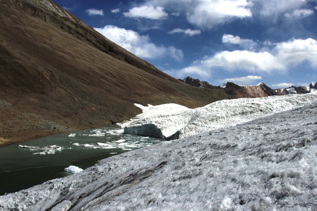
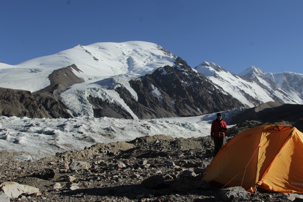
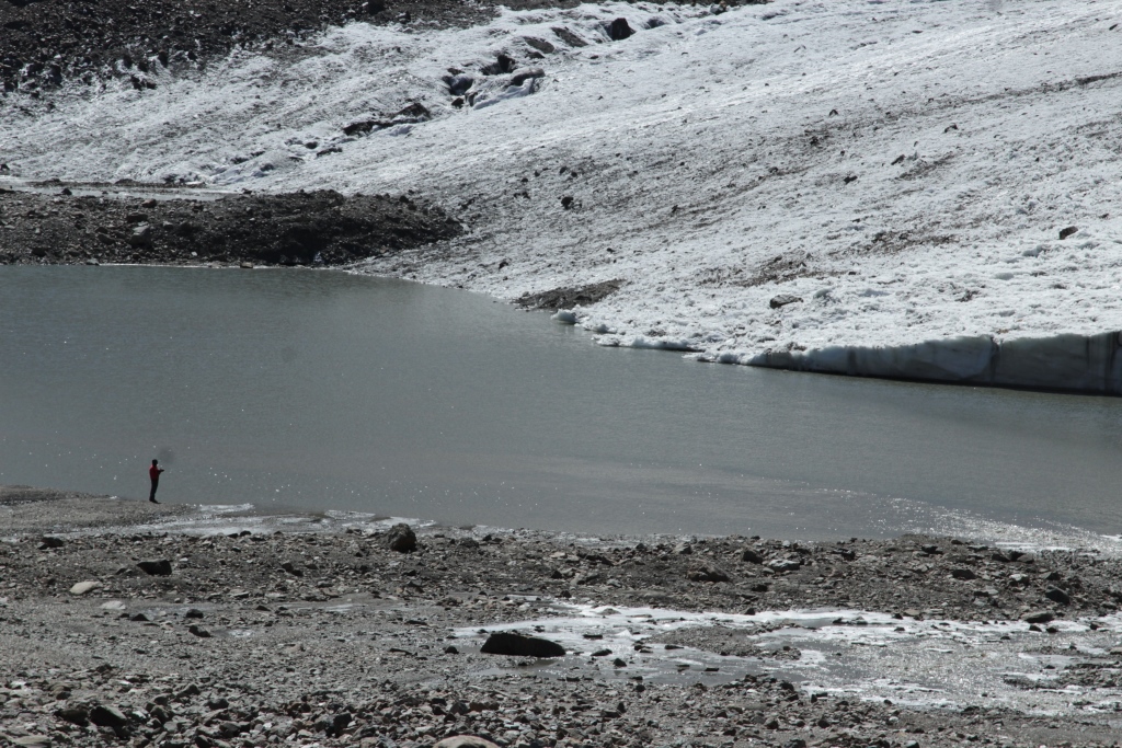
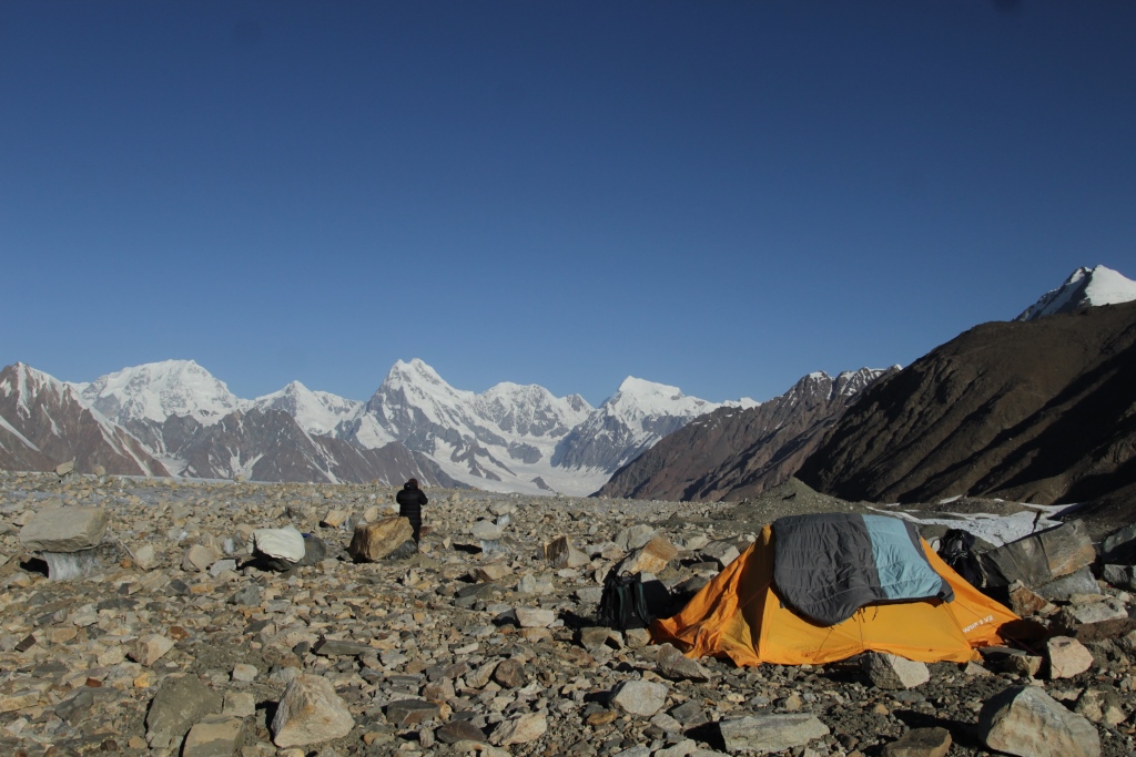
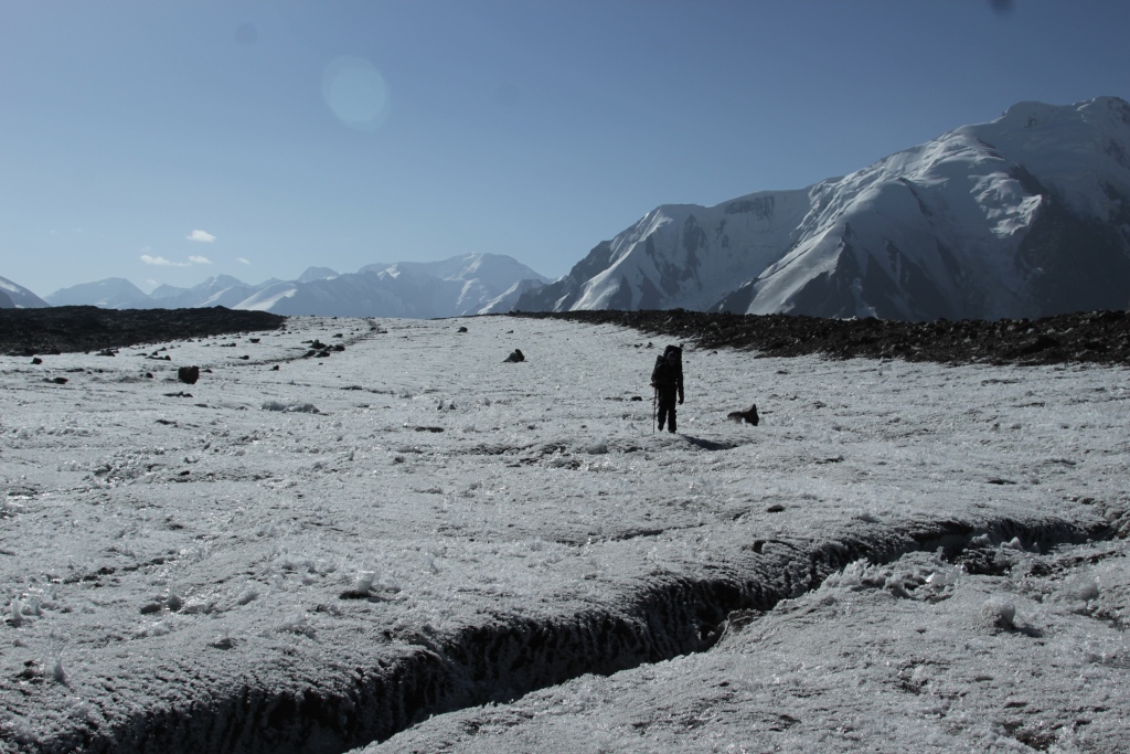
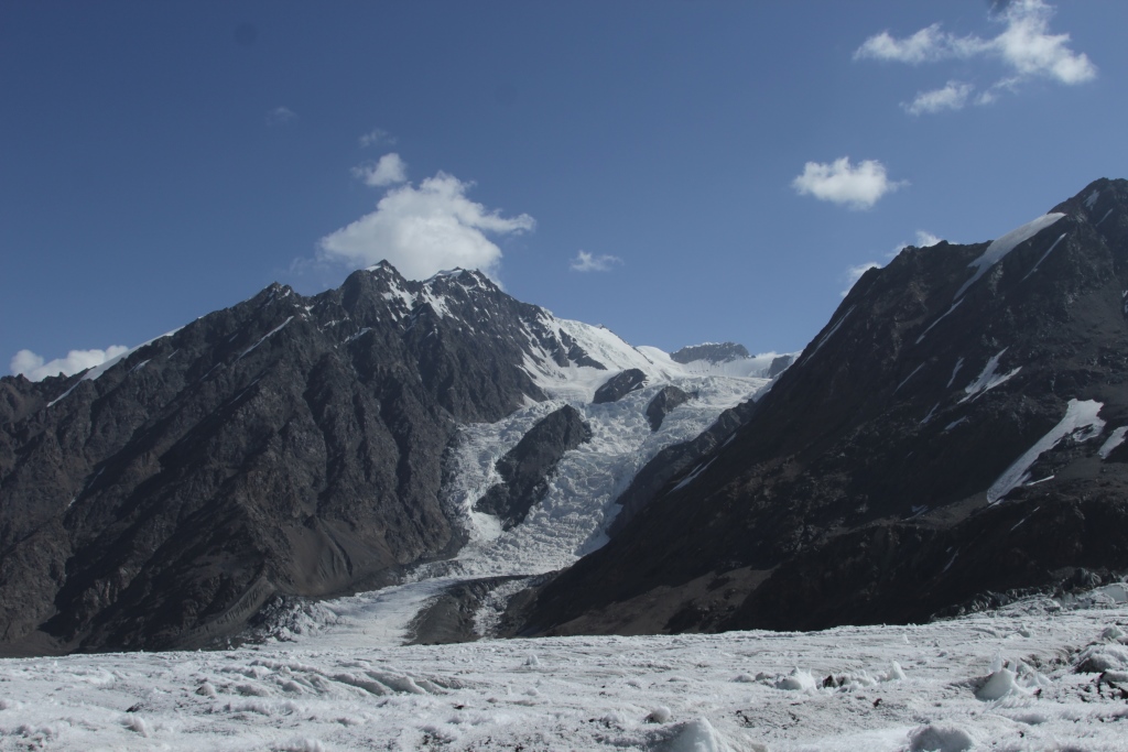
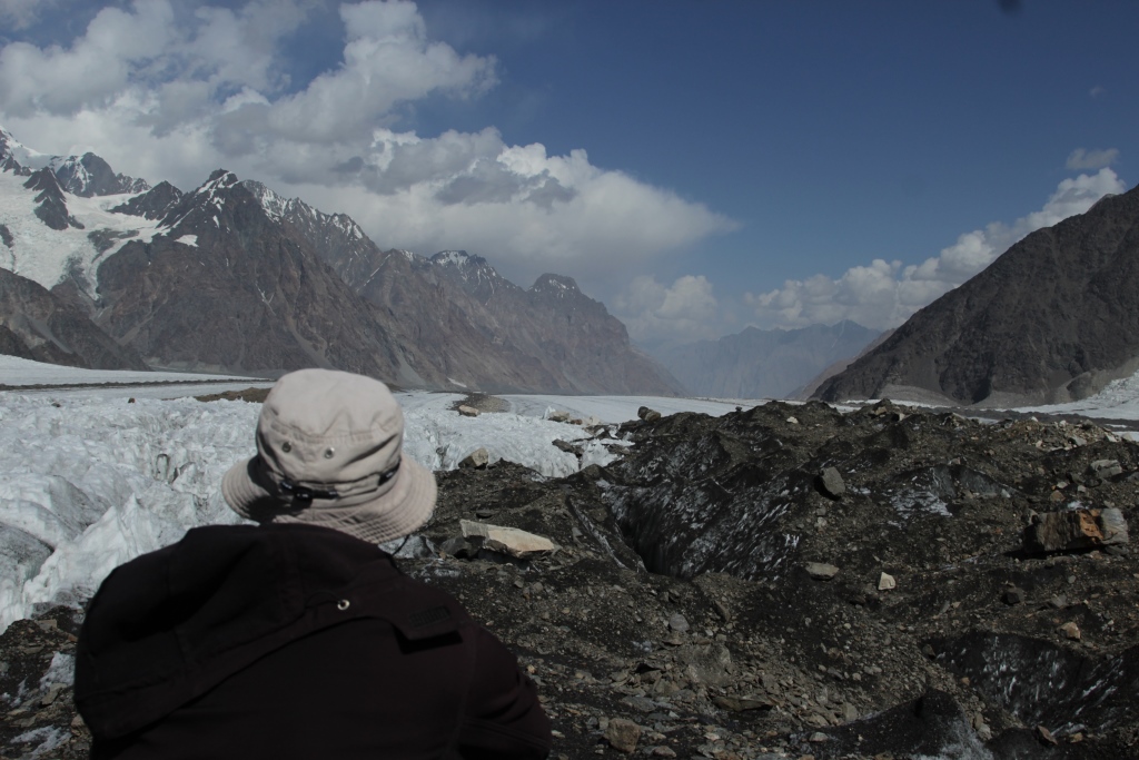
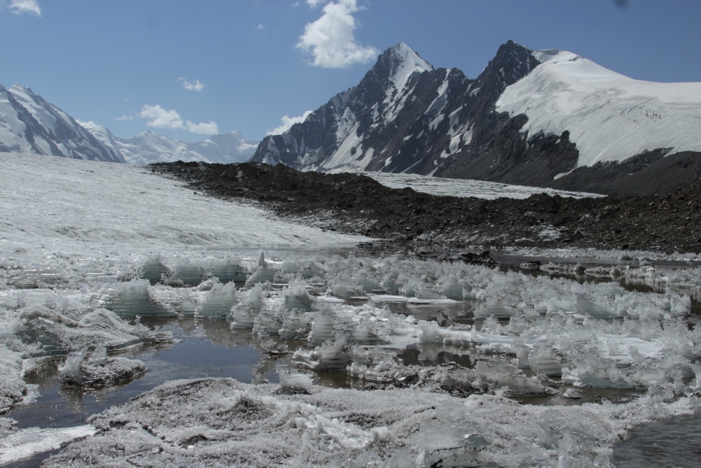
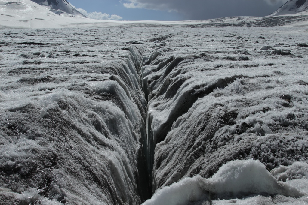
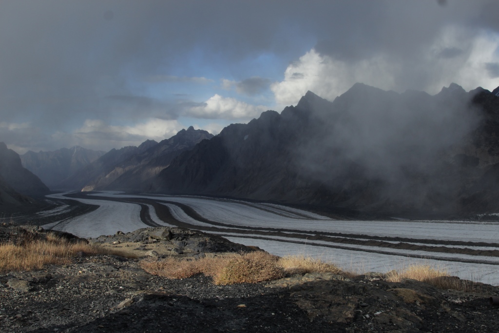
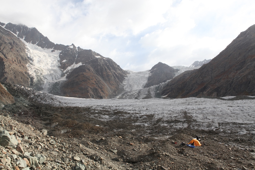
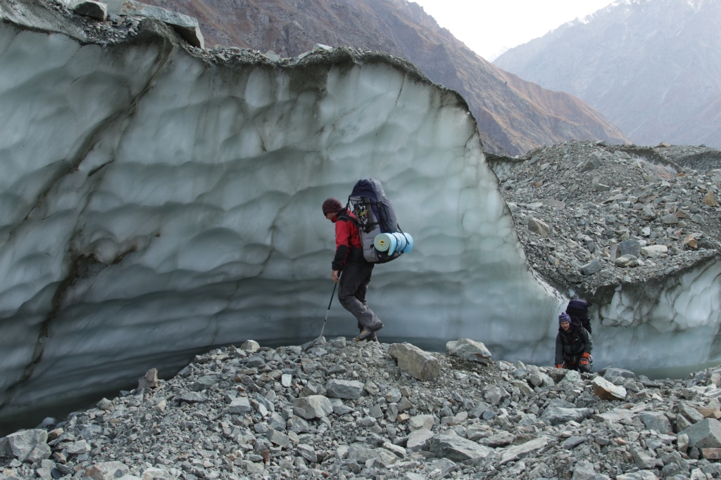
River valley HavrazdaraRiver valley HavrazdaraRiver valley HavrazdaraRiver valley HavrazdaraCamp 2. River valley HavrazdaraRiver valley HavrazdaraRiver valley HavrazdaraCamp 3. River valley HavrazdaraRiver valley HavrazdaraRiver valley HavrazdaraRiver valley HavrazdaraLake HavrazCamp 4. Lake HavrazLake HavrazLake HavrazThe glacier Cold wallThe glacier Cold wallCamp 5. The glacier Cold wallmountain Cold wallPass the Cold wallPass the Cold wallPass the Cold wall.The Glacier Grum GrzhimailoThe Glacier Grum GrzhimailoCamp 6. The Glacier Grum Grzhimailo.The Glacier Grum GrzhimailoThe Glacier Grum GrzhimailoThe Glacier Grum GrzhimailoThe Glacier Grum GrzhimailoThe Glacier Grum GrzhimailoCamp 7. The Glacier Grum GrzhimailoThe Glacier Grum Grzhimailo.The Glacier Grum Grzhimailo.The Glacier Grum Grzhimailo.The Glacier Grum Grzhimailo.The Glacier Grum Grzhimailo.Camp 8.The valley TanymasThe valley TanymasThe valley TanymasCrossing the river TanymasCrossing the river TanymasCrossing the river TanymasCrossing the river TanymasThe river TanymasThe Glacier Tanymas 2The valley TanymasThe valley TanymasThe valley TanymasCamp 9. The valley TanymasThe Glacier Tanymas 3The Glacier Tanymas 3The Glacier Tanymas 3Camp 10.The Glacier Tanymas 3The valley TanymasThe valley TanymasLake in the glacier Tanymas pawLake in the glacier Tanymas pawLake in the glacier Tanymas pawCamp 11. In the pass TanymasIn the glacier Tanymas pawIn the glacier Tanymas paw .View to the Somoni (Communism)In the glacier Tanymas pawIn the glacier Tanymas pawThe Somoni (Communism) peak.On the Fedchenko glacierOn the Fedchenko glacierOn the Fedchenko glacierOn the Fedchenko glacierCamp 12. On the Fedchenko glacierOn the Fedchenko glacierOn the Fedchenko glacierOn the Fedchenko glacierOn the Fedchenko glacierOn the Fedchenko glacierOn the Fedchenko glacierOn the Fedchenko glacierOn the Fedchenko glacierHydro meteorological station the Fedchenko GlacierCamp 13. Hydro meteorological station the «Fedchenko Glacier»Hydro meteorological station the «Fedchenko Glacier»Hydro meteorological station the «Fedchenko Glacier»Hydro meteorological station the «Fedchenko Glacier»Hydro meteorological station the «Fedchenko Glacier»Hydro meteorological station the «Fedchenko Glacier»Hydro meteorological station the «Fedchenko Glacier»Hydro meteorological station the «Fedchenko Glacier»Hydro meteorological station the «Fedchenko Glacier»Hydro meteorological station the «Fedchenko Glacier»Hydro meteorological station the «Fedchenko Glacier»Hydro meteorological station the «Fedchenko Glacier»Hydro meteorological station the «Fedchenko Glacier»Hydro meteorological station the «Fedchenko Glacier»Hydro meteorological station the «Fedchenko Glacier»On the Fedchenko glacierThe Glacier Kashal-ayak.The Glacier Kashal-ayak.The Glacier Kashal-ayak.The Peak KommacademiThe pass Kashal-ayakThe pass Kashal-ayakCamp 14. The pass Kashal-ayakThe peak GarmoThe pass Kashal-ayakThe pass Kashal-ayakThe pass Kashal-ayakCamp 15. The Glacier Russian Geographic SocietyThe Glacier Russian Geographic SocietyCamp 16. The river AbdukagorCamp 16. The river AbdukagorCrossing the river AbdukagorCrossing the river AbdukagorCrossing the river Abdukagor
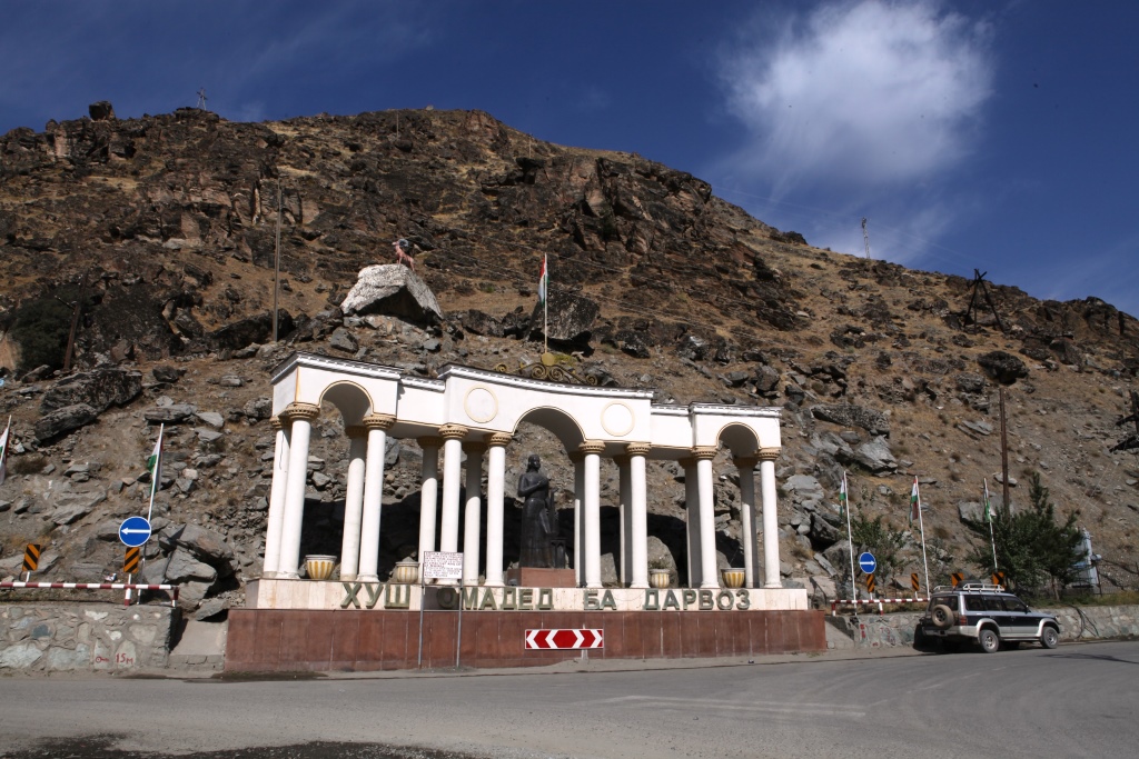
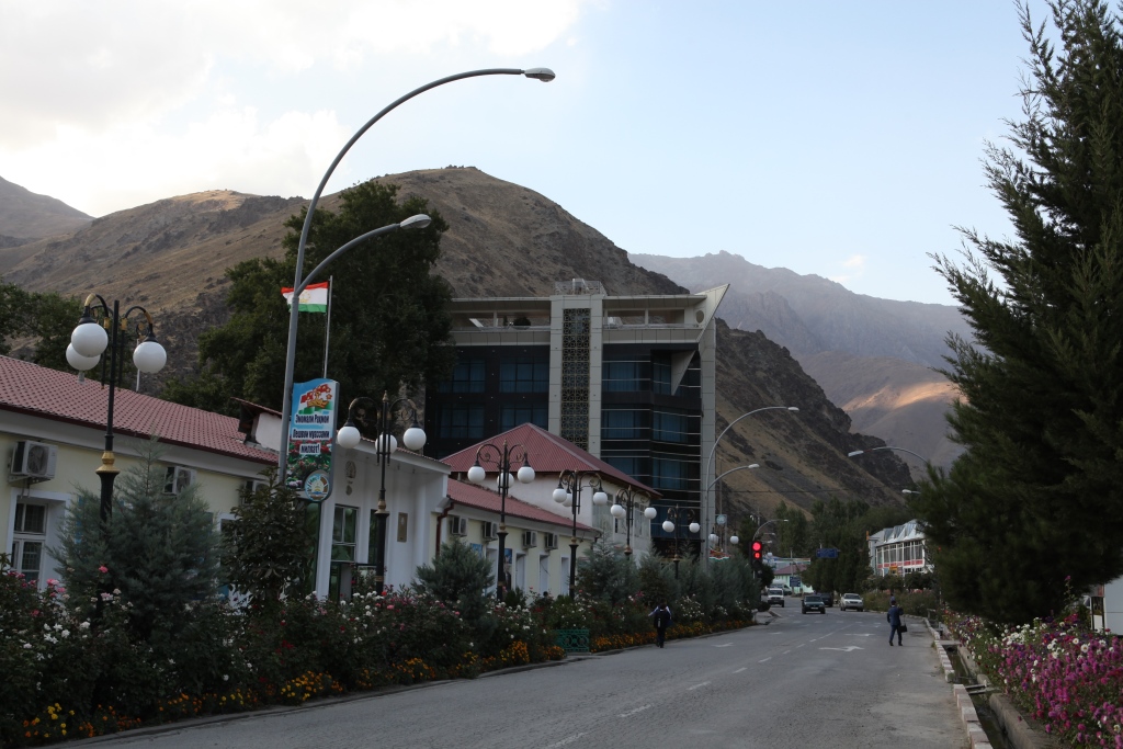
Car part of the way. The main pointsDushanbe-Kalai-KhumbKalai-KhumbKalai-KhumbKalai Khumb — RushanBartangBartang YapshorvBartang YapshorvBartang RoshorvBartangBartang NisurBartangBartang SavnobBartang Savnob FortressBartangBartangBartang PasorVanch PoimazarVanch
Альпинизм скалолазание горный туризм в Таджикистане